
#8—Northside
Walk #8—Northside
Saturday, 18 August 2012
When we were done with Walk #7, we drove up to the starting point of this walk, and it was still sunny but now only 62F. Welcome to Berkeley.
This is a map of the walk (blue color). You can enlarge it to see the staircases and paths, and switch to other views (eg, satellite) to see the area differently. Street view is also available. The blue pin is the start of the walk. It’s the same place from which the Holy Hill walk (green) began.
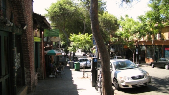
Here’s the view of the Northside shopping area. The starting point is down at the end of the block.
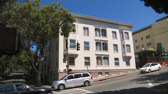
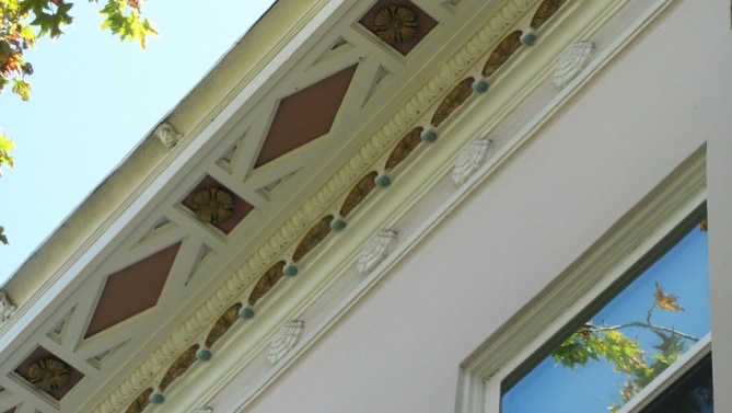
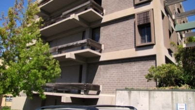
At the starting point are the Euclid Apartments (1912) mentioned on page 57 (also on tour no. 28 in the 41 Walks book). Also, a close up of the “peculiar clam shell motif.”
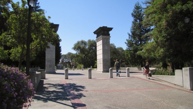
The starting intersection also is the northside entrance to the University campus. The saber tooth tiger from Walk #5 is not far from this spot. School has not yet started, which is why there are not many people in the picture.
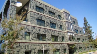
As we walk uphill on Euclid Avenue, we passed both Etcheverry and Soda Halls, mentioned on page 58.
We’ve seen the next building before on Walk #5 (the dark gray route on the map). It was built in 1893 and now serves as the home of the Goldman School of Public Policy. Before that, it was the Beta Theta Pi fraternity chapter house.
This structure is not on the corner of Le Roy Avenue (but another building is, which is part of the Goldman School). The building on the corner is not in the 41 Walks book.
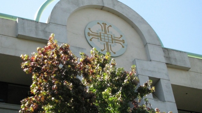
Cory Hall (electrical engineering) is across the street. The building is not in the book, which is understandable. However, there is an ornamentation that is related to the subject taught in Cory.
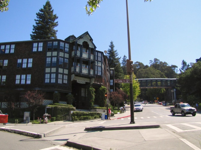
The Foothill residence hall (1990, flag pin on the map), on the corner of Euclid and La Loma Avenues is not in the book, either. But unlike Cory Hall, it’s attractive.
We continued up Hearst Street, under the pedestrian bridge, and turned left onto Highland Place.
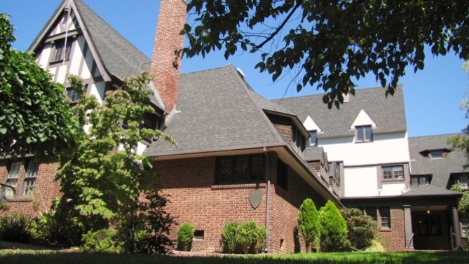
Up at the next corner is Phi Delta Theta’s chapter house, built in 1914.
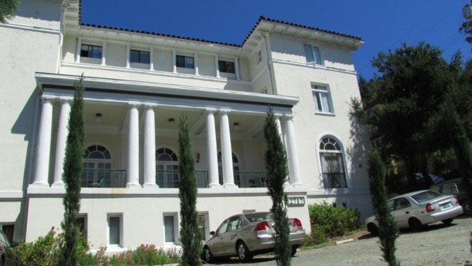
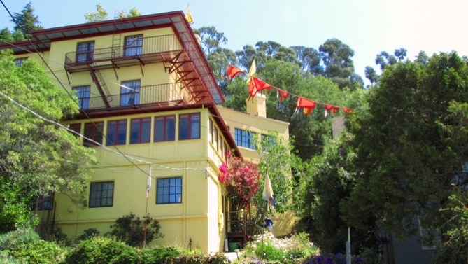
We could see the flags on the large building (1912) housing the Tibetan Nyingma Institute from here.
We went across Ridge Road to see the two Maybecks (page 58) but didn’t see much. Author Fleming is right, they are hidden in the surrounding trees.
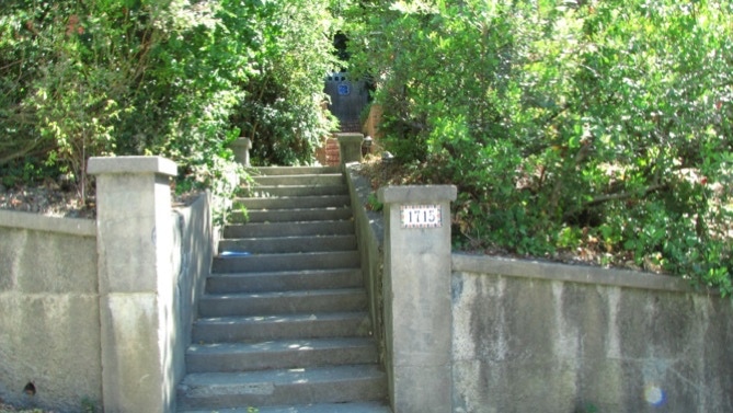
Then we reversed course and went downhill on Ridge Road, and then right on La Loma Avenue , with the right jog along Le Conte Avenue before getting back on La Loma. Here are the steps up to the sidewalk (bottom of page 58).
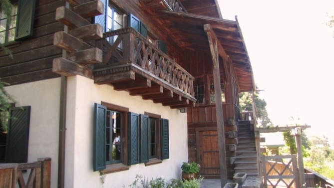
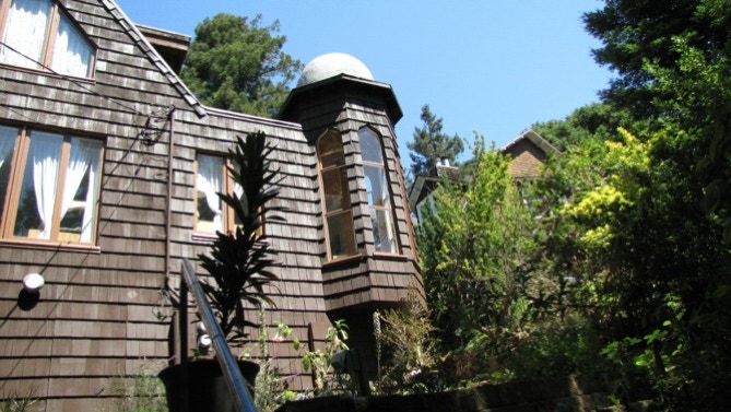
This is the “magnificent chalet–style Rees house” mentioned on page 59.
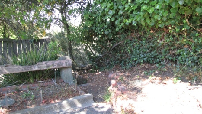
This is where we started to become confused the first time we walked #8.
These must be the second set of the La Vereda Steps.
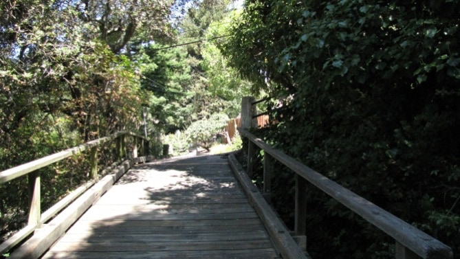
When you come to this passage in the book, “across a driveway with a wooden bridge” do not go on the driveway/wooden bridge! Do not go on this structure or you will be hopelessly confused.
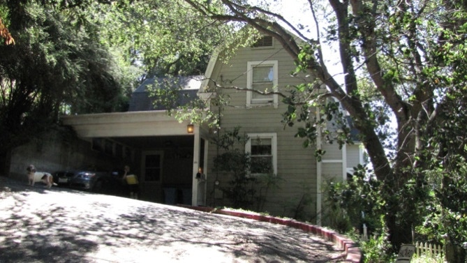
Here’s the “fine big Dutch farmhouse” (1896) mentioned on page 59.
We think this is the manhole cover at the top of La Vereda Steps mentioned on page 59. We’re not sure, though, because the steps don’t add up to 23.
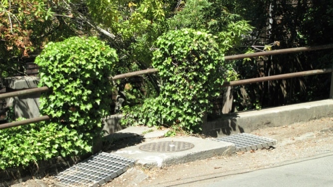
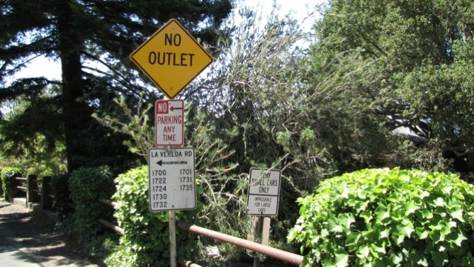
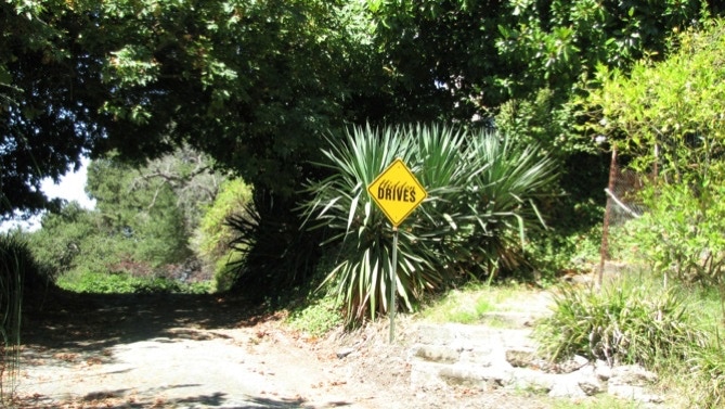
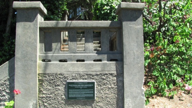
But it probably is the right manhole cover (NB: in Berkeley, they are not called that!) Anyway, we found these signs, mentioned on page 59.
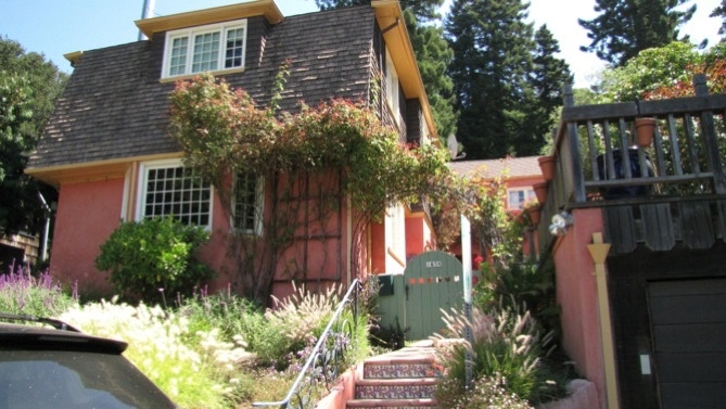
Here’s a nice looking house, with an artsy set of steps.
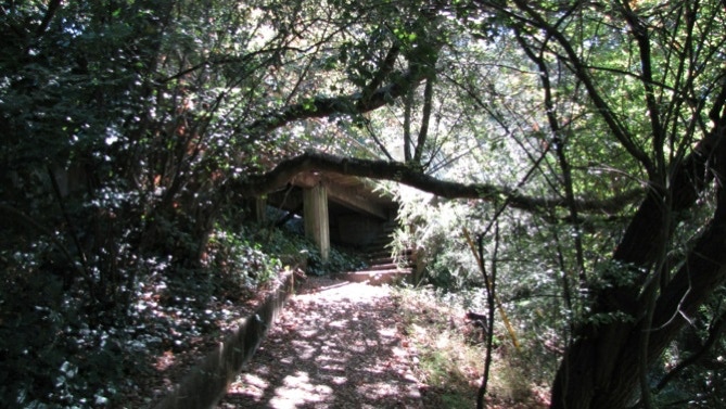
Hidden Drives.
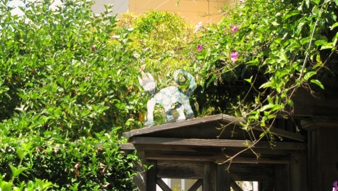
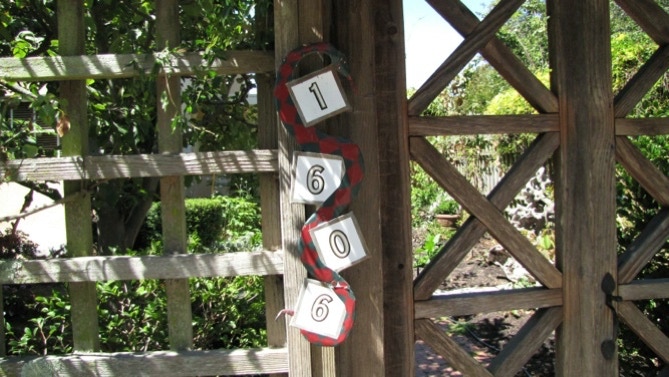
A nice ornament above an entrance gate, and a snake around the address.
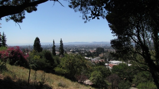
The view is a great one.
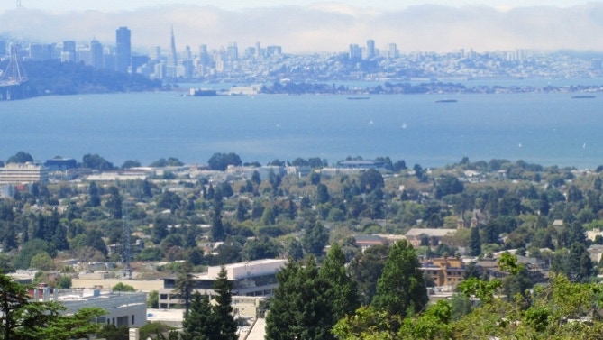
This is the top of Cedar Path. We got a different count on the stairs from what’s in the book on page 59. The view is expansive. Downtown Oakland is in the distance.
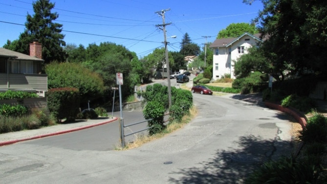
This is not an unusual intersection in this part of Berkeley. This is at Hilgard and La Loma Avenues. Note: The book misses a large staircase and instead doubles back on La Loma Avenue south of Virginia Street. On the map, the yellow line indicates an alternative route.
Here is a part of the steps at Virginia Street and La Loma Avenue.
The turret house on Le Conte Avenue is in this picture. The home of the California Marching Band on Le Roy Avenue is undergoing a lot of construction activity today. And then we walked back to the starting point.
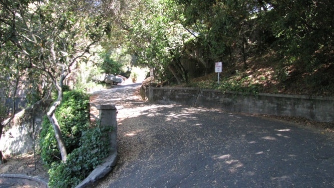
This walk is along some streets where cars have a really difficult time getting around. The views are nice, too.
The book reports 238 steps and 2 miles. The step count is off from our count, and the distance is 1.4 miles. (distance calculated by Google maps).
Next—”Rose” Walk.
