
#7—Berryman Station
Walk #7—Berryman Station
Saturday, 18 August 2012
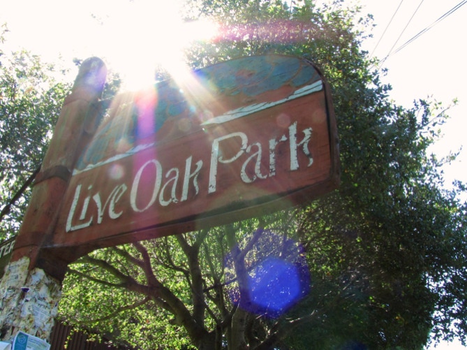
Just like last Sunday, it was sunny and 63F when we started out on the walk at the quiet corner of Shattuck Avenue and Berryman Street. The first stretch of the walk is through Live Oak Park.
This is a map of the walk (purple color). You can enlarge it to see the staircases and paths, and switch to other views (eg, satellite) to see the area differently. Street view is also available. The blue pin is the start of the walk.
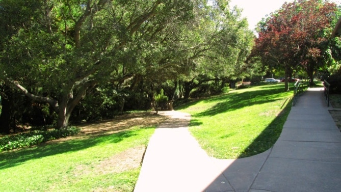
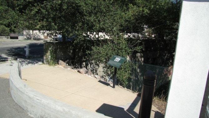
Entering the park, we went down the path on the left.
Here’s the view up to Walnut Street.
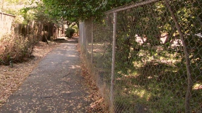
This is Berryman Path (page 54).
We’ve walked up to Spruce Street and are now walking back west. This is the spot with the plaque about Napoleon Byrne’s house.
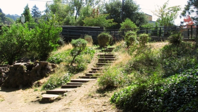
Here are the steps back into the park from Oxford Street.

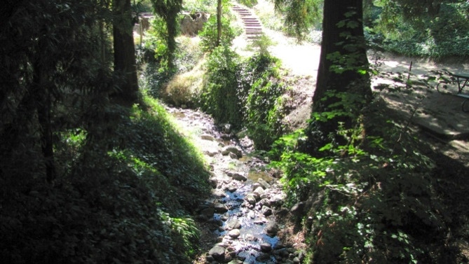
Cordornices Creek. If you live in the Bay Area, you’ll appreciate the fact here that it has a lot of water in it in mid–August.
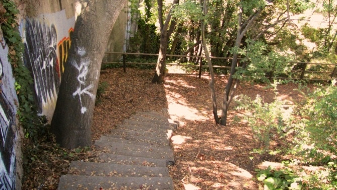
The tunnel under Walnut Street is on the right of the graffiti.

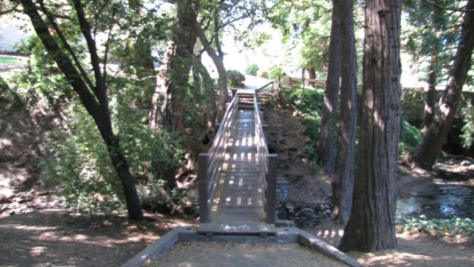
The wooden bridge on the walk is easy to spot. Unfortunately, my picture here is not in focus (lots of light, lots of shade).
And that’s it, a short walk!
This very short walk is in a relatively flat area in north Berkeley.
The book reports 89 steps and 0.8 miles. The step count looks right but the distance is 0.5 miles. (distance calculated by Google maps).
Next—Northside (of the University campus).
