#9—“Rose” Walk
Walk #9—"Rose" Walk
Sunday, 19 August 2012
It was 59F with overcast skies when we started the walk, but the sun came out before we were finished.
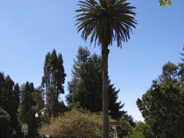
Here is a map of the walk (rose color). The blue pin is the start of the walk—there is a prominent palm tree at that spot. Google’s map mislabels “Berkeley Rose Garden”, which is on the west side of Euclid Avenue. The park on the east side is Codornices Park.
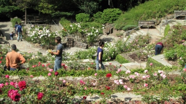
Just up the street from the palm tree is the entrance to the Rose Garden.

This walk is covered on tour nos. 31, 32 and 33 in the 41 Walks book. Parks in Berkeley look like they are not being well maintained—the recession has made for a difficult budget. However, the Rose Garden gets a fair amount of volunteer help with weeding and pruning.
This is the pedestrian tunnel mentioned on page 66 of the book.
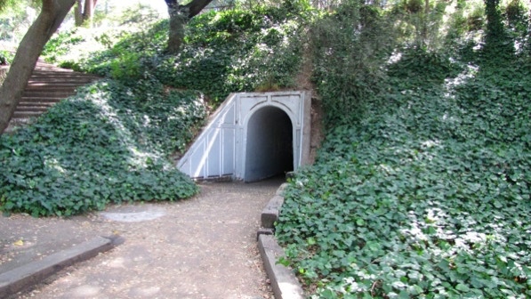
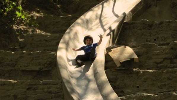
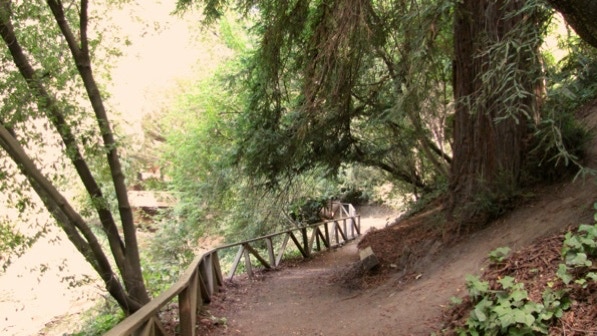
On the other side of the tunnel is another city park—Cordonices Park. It’s very popular with families with children, and there is a long slide back in the trees. There is a stack of cardboard sheets at the top; sometimes the children don’t hold on tight enough.
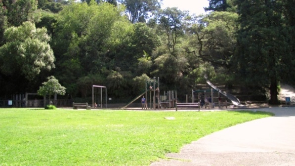
This is the path with redwood trees above the slide. At the bottom of page 66 is a mention of seeing “one of Berkeley’s loveliest spots—a little waterfall” (Cordonices Creek, on private property). We went on the path, and could hear the waterfall, but we couldn’t figure out how to get to a spot to see it.
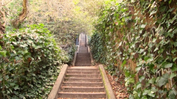
This is a section of Tamalpais Path (with a lot of steps).
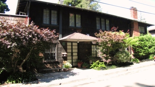
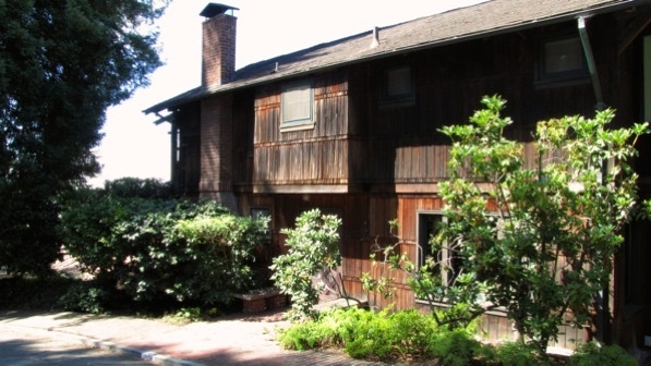
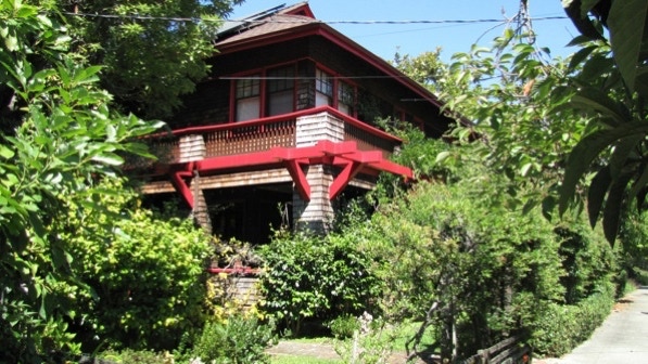
This is the house at 77 Tampalais Road, mentioned on page 67 of the book. The 41 Walks book reports it was built in 1915 (Tour No. 32, #14; later addition by Greene & Greene). If you look to the left of the front door, you will find another one of those “glazed Chinese tiles in a particular color of teal–green” noted on Walk #4 (page 33).
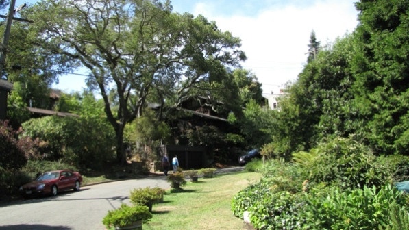
This is a pleasant street (near the curve on Tamalpais Road).
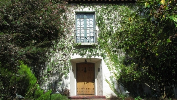
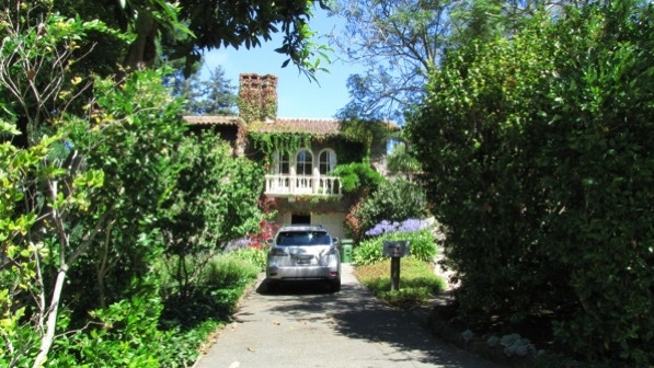
A fine entry here.
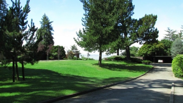
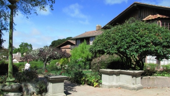
We are now at Greenwood Commons (page 67). Quiet, well designed. And with a great view. (On the map, it’s the camera pin.) William Wurster was one of the developers. Walk #5 just missed Wurster Hall!
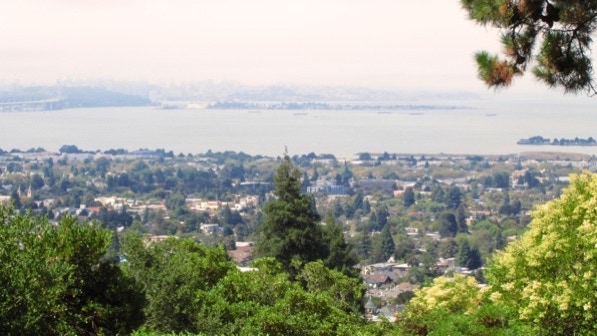
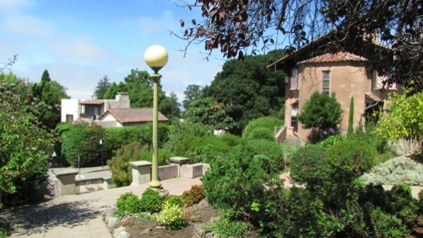
The view of San Francisco is somewhat clouded today, but the view of Berkeley is impressive.
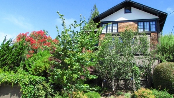
The last house on Greenwood Terrace (1486) was built in 1912 (John Galen Howard; #9 on tour no. 31).
Looking at the upper part of La Loma Steps, built in 1916.
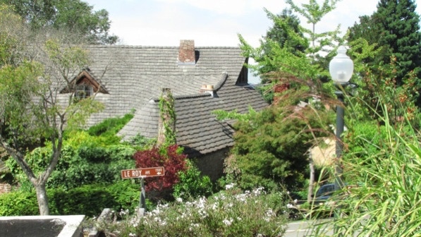
Don’t laugh, but this is a terrific looking roof! The house is at the bottom of La Loma Steps.
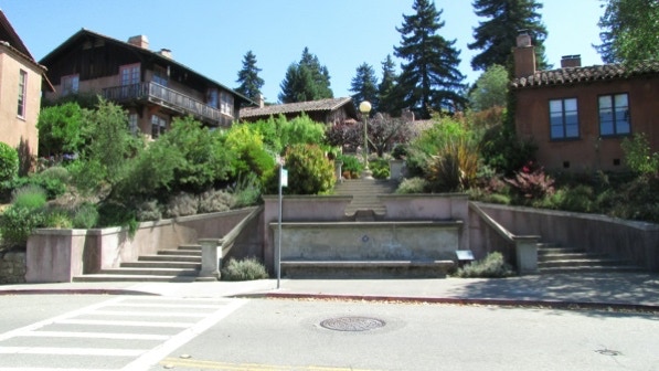
Now we’re at Rose Walk (Bernard Maybeck, 1913).

On page 68: “The big shingled house at 1404 on your right, as you turn, is a Julia Morgan from 1911.” Not sure about “as you turn” but this is the house. Tour no. 33, house #5. It’s the yellow house pin on the map.
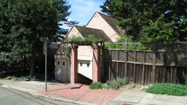
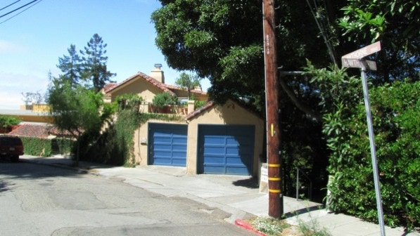
Here is the entrance to Hawthorne Steps, which is marked on the map with a flag pin. Take a minute and look at the attractive patio above the two blue garage doors.
This is a nice job of landscaping.
This house is on Arch Street.
A part of Oak Street Path. The book (page 69) says “Walk a block’s worth of Laurel Street....” Actually, keep walking straight ahead.

Soon you will see the continuation of the Oak Street Path, near the No Outlet sign. We are at the yellow pin on the map.
Eventually, you will swing around down to Euclid Avenue.
We’re back at the intersection of Euclid and Eunice, with the big palm tree.
This is a pleasant walk with a lot of attractive houses. There is also a good view on clear days.
The book reports 554 steps and 1.6 miles. The step count is off from our count, and the distance is 2.1 miles. (distance calculated by Google maps).
Next—Codornices Park, which is across Euclid Avenue.