#10—Codornices Park
Walk #10—Codornices Park
Saturday, 25 August 2012
It was 58F with coastal fog when we started the walk. The sun did not come out before we were finished.
Here is a map of the walk (pink color). The blue pin is the start of the walk—there is a prominent palm tree at that spot. As noted with the entry for “Rose” Walk, Google’s map mislabels “Berkeley Rose Garden”, which is on the west side of Euclid Avenue, by the tennis courts. The park on the east side is Codornices Park.
Two notes on this walk. First, while it is called Codornices Park, Walk #9 spends more time in the park. Second, we actually did this walk in July—on a sunny day—but we flubbed it up, going the wrong direction. So we decided to give it another shot, to get it right.
How do we know we flubbed it up the first time? Well, we went up the wrong steps and found four people with the book, walking towards us! We had a brief conversation, and they walked on—in the proper direction.
Some of the pictures on this page are from July, but most are from August.
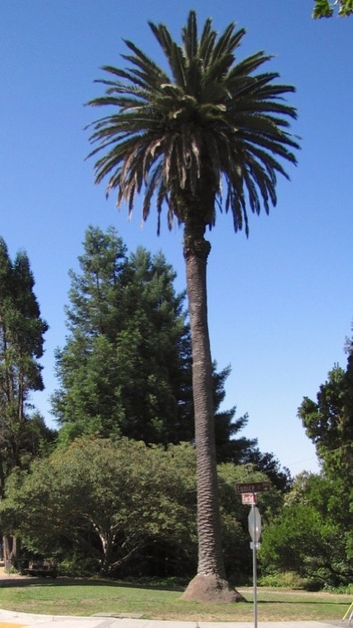
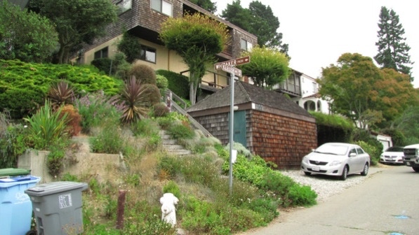
The big palm tree is at the start of the walk—the intersection of Eunice Street and Euclid Avenue.
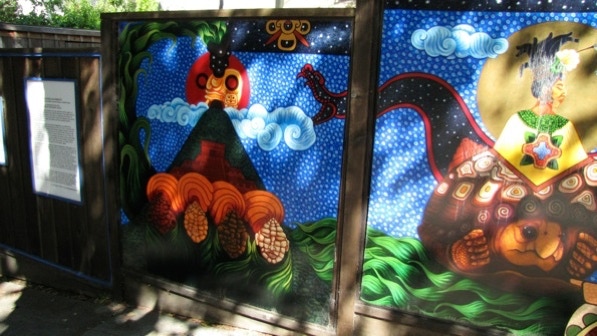
Moving up Euclid, we came to the “Sacred Alighments” mural (page 71.) This is about 2/3rds of it.
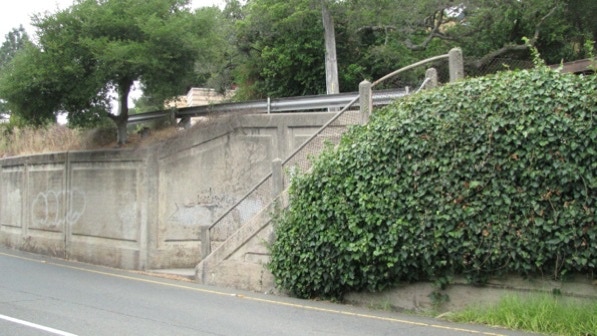
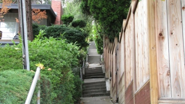
This is the “concrete staircase to the uphill, northbound side of Euclid.”
On our July walk, we made a mistake with the second paragraph on page 72: “You might have spied a staircase earlier. You might see another one now. Ignore them, and keep walking.” Darn if we didn’t go up El Mirador. The correct staircase is Bret Harte Way.
The book describes Bret Harte Way as “a steep concrete walkway...somewhat uneven....” Here they are.
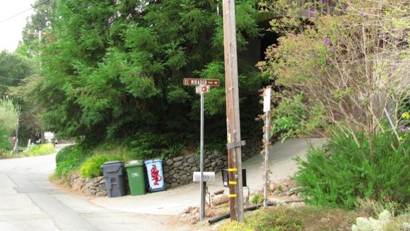
Here is the bottom of El Mirador Path. The sign was easy to spot.
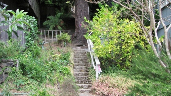
Here is the “house with a conical witch–hat roof” at the top of the second section of El Mirador (page 72). It was built in 1928.
Moving along Cragmont, we came on a eucalyptus grove, with a lot of ivy. Even on a clear day, the view of the bay would be blocked. In Oakland and Berkeley, these trees are common. Unfortunately, very little grows underneath them. But ivy will grow on anything here.
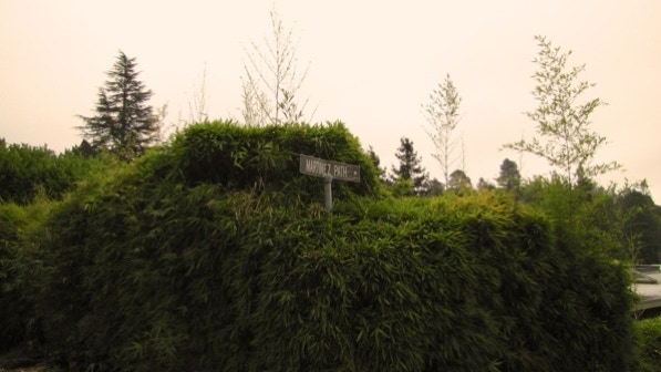
The sign for Martinez Path was visible for us. But as you can see in this picture, the bamboo might cover it up one day!
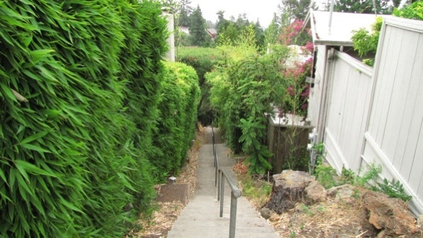
Descending Martinez Path.
When we reached the bottom, we turned right on Keith.
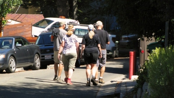
On our July walk, it was in this next block where we met the foursome taking the same walk, but going in the opposite (and correct) direction. This time, we got it right.
Up ahead is El Mirador going up. We were just there; don’t go back up it. Instead go down, on the left side of the street.
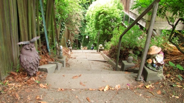
El Mirador Path going down has some ornamentation! This spot is on the map.
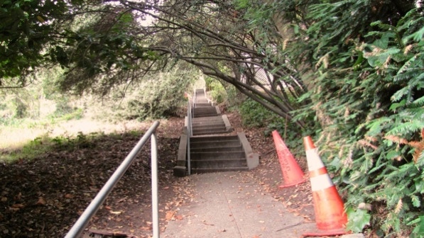
At the bottom, we turned left on Euclid, and saw the sign for Redwood Terrace.
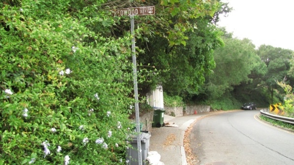
This is a part of Redwood Terrace steps. The book reports maintenance cones and some of the steps being “in serious need of help.” That hasn’t changed. We did not have a problem, though.
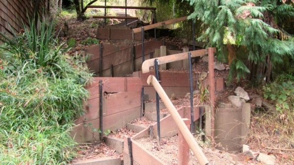
Ahead is the bottom of Lower Covert Path. It doesn’t look easy, but after a short section, it gets better, finally ending up with good steps.

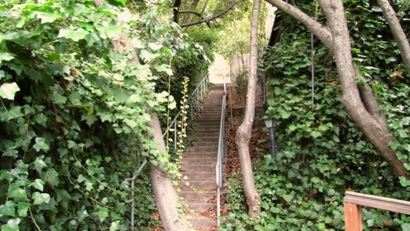


At the top, we crossed Cragmont and started up Upper Covert Path. There are a lot of steps on this walk!
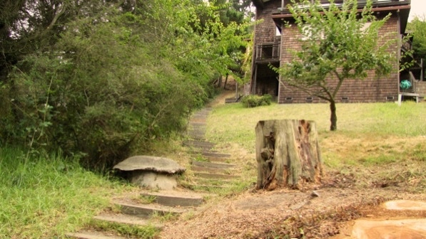
Covert Path opens up a bit and we walked past this house on the way up to Keeler Avenue.
Walking along Keeler, we saw Whitaker Path. It is not mentioned in the book (should be on page 73). Anyway, we were happy we didn’t have to go up them.
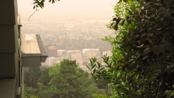
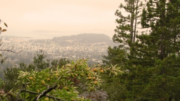
The book reports that there are “big bay views” up here, but that would be on a sunny day. The foreground is a part of downtown Berkeley, with Emeryville in the back ground.
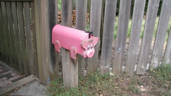
A mail box at Keeler Avenue and Shasta Road.
Keeler turns into Shasta (on the map) and then into Northgate Avenue. At the end of Northgate is Northgate Path.
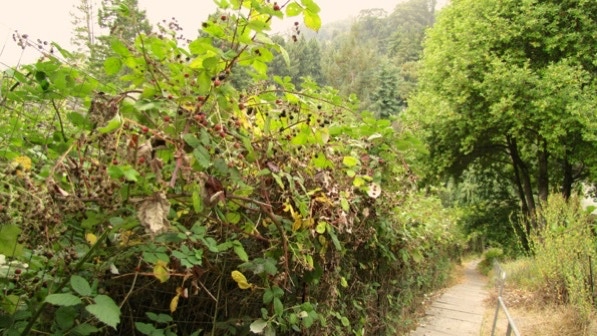
In July we saw a person carefully picking ripe blackberries. There are not many ripe ones left on the canes now.
That’s Albany Hill in the distance. It’s one of the later walks in the book.
These are the “well–designed set of switchbacks” at the bottom of Northgate Path (page 74).
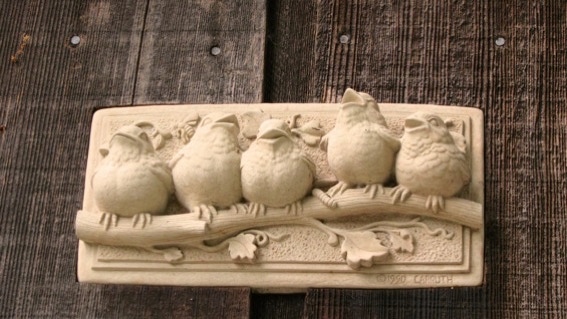
Chirpy ornamentation on a house on Shasta Road.
We looked for the “little koi pond” at the corner of Shasta and Tamalpais Roads, but did not see it. We are at the fish pin on the map.
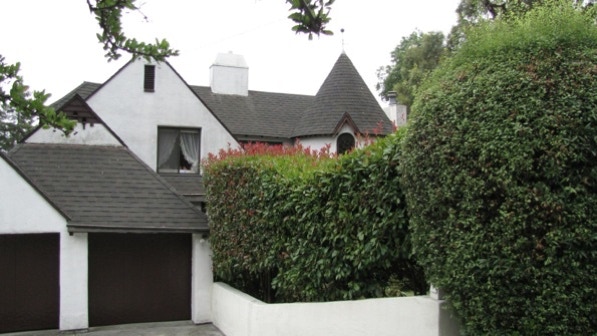
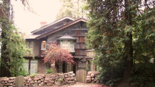
Here is the “enchanted cottage, called ‘one of the most romantic and rustic homes in Berkeley’ by the Berkeley Architectural Heritage Association.” Page 74. We are at the yellow house pin on the map.
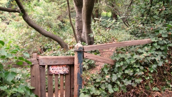
We tried the path mentioned on page 74 to the waterfall on Codornices Creek. The landlord seems to be at ease with people going through the gate. However, while we could hear the waterfall, we could not see it.
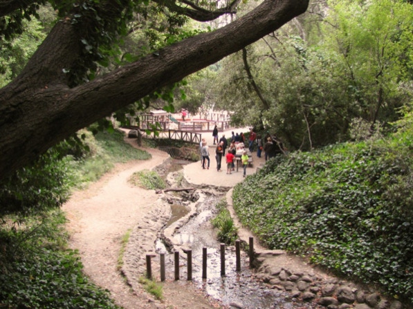
We’re near the end of the walk, and passed by families having a picnic in Codornices Park.
This is a good walk with a lot of steps. We made a wrong turn and did the walk again, to get it right.
The book reports 1,230 steps and 2.5 miles. The step count is close to our count, and the distance is 2.1 miles. (distance calculated by Google maps).
Next—Terrace View Park.