
#38—Kensington Figure Eight
Walk #38—Kensington Figure Eight
Sunday, 20 January 2013
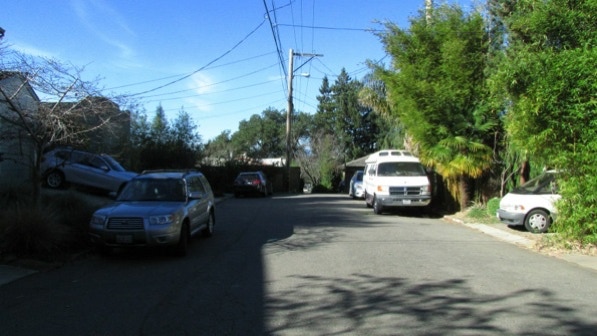
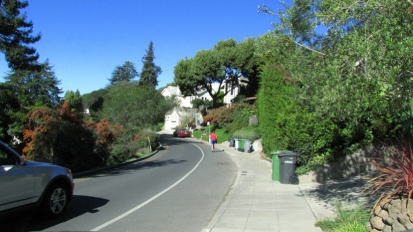
It was 57F and sunny at the start of the walk, just as it was yesterday down at Albany Hill. Here is the map of the walk (purple line). The starting point is the blue pin.
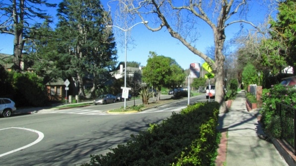
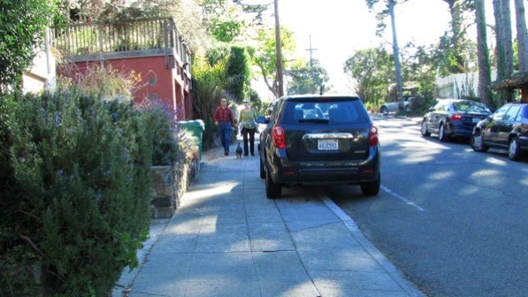
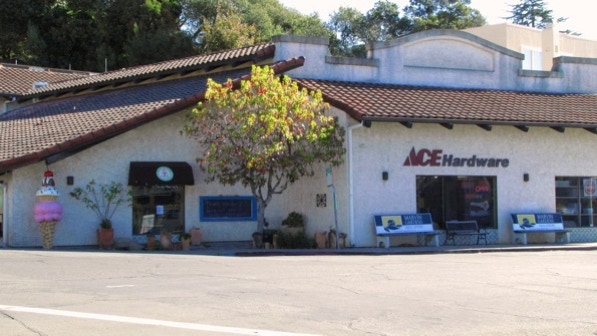
We started at the same spot as in Walk #37 (Kensington North) last December 30th. We walked up along the “village” past “old–timey” Young’s Market (page 221) and came up to the cross walk to get us across Arlington Avenue.
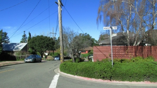
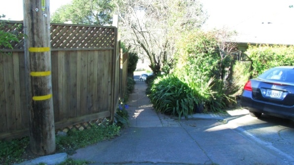
Down Ardmore Road we went, and when we got to the intersection with Kingston Road, the book caused us to stop for a bit. The instructions on page 222 are to bear left, but “straight” would be easier to figure out. The sidewalk to take is to the left of the Kingston street sign and to the right of the telephone pole.
Beverly Court does have a sign (it’s in the shade here).
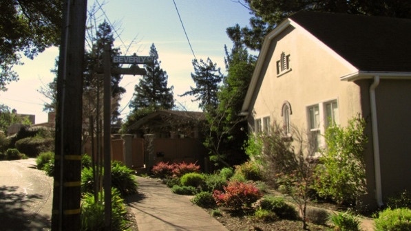
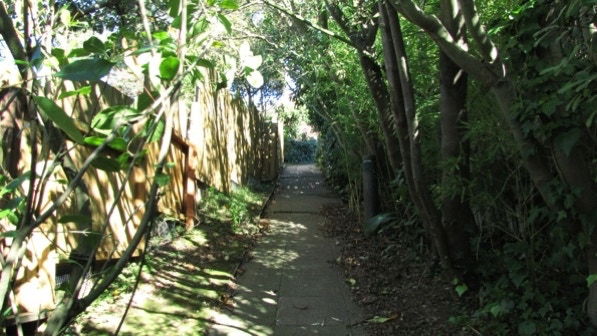
The book reports Beverly Court is “a paved cul–de–sac lined with houses” and becoming a narrow walkway at its end (page 222).
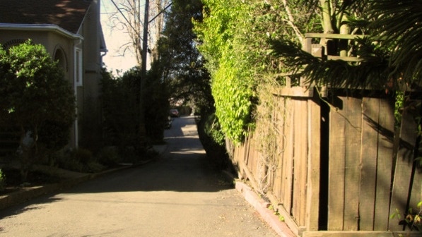
The narrow walkway is to the right of the telephone pole.
Here is the top of the walkway, looking down at Lenox Road.
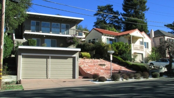
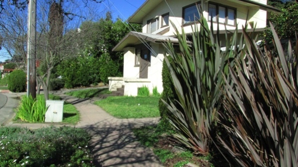
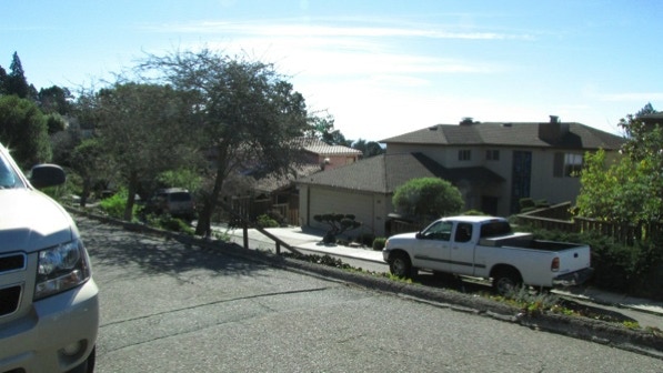
At the intersection of Lenox Road and Coventry Road is this house at 701 Lenox. A low maintenance front yard, to be sure! Google street view (May 2011) shows a nice looking lawn where the pink concrete is today.
We are at the yellow house pin on the map.
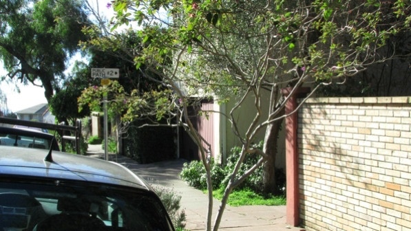
We stayed on Lenox Road and turned right at Public Path #2, just after the yellow brick wall (page 222). The book reports the path is not marked, but there is a sign now.
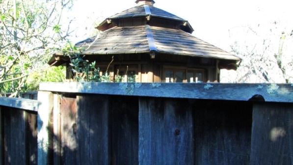
Along the romantically named Public Path #2 is the gazebo mentioned in the book.
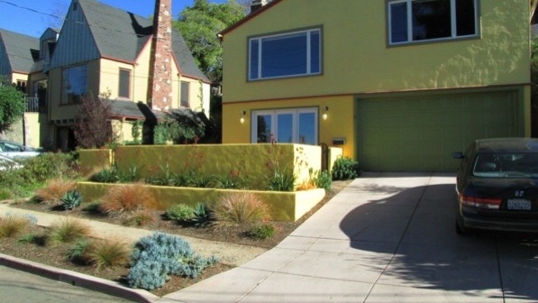
At 81 Stratford Road (green pin on the map) the homeowner has done a great job with the front yard since Google drove by in 2011. The chimney next door is fine, too.
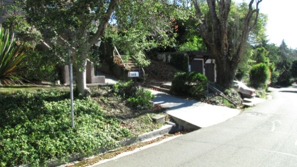
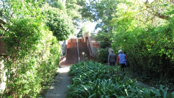
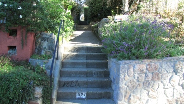
Coventry Path is easy to spot. Alas, there is no sign, and the map labels the staircase as Public Path #3. Suggestion: turn up the driveway to get to the staircase; the entrance from the street isn’t easy, what with Kensington’s quite large gutters.
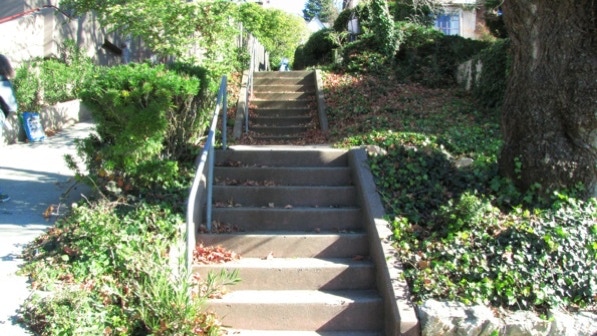
This is the view of the staircase. The front door to the house at #636 is up the staircase.
At the top, we turned left onto Coventry Road. At #729 there is an artsy, private set of steps up to the house.
The entrance to Ardmore Path (past #719, page 222) is not marked. Well, there is a utility box and a telephone pole, anyway.
This is the view up Ardmore Path.
At the top of this first segment, we crossed Ardmore Road. Note that the second segment has both a left and right entrance, separated by a hedge. Two residents told us it did not matter which side you choose, you end up at the same place.
At the top of the staircase, we were back by Young’s Market.
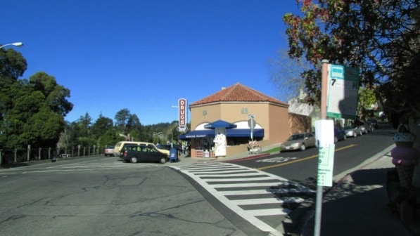
We went to the right, past the commercial district, and on into Berkeley along Arlington Avenue. Looking at the map, most of Kensington Figure Eight is in Berkeley. The gray line on the map is the county line, with Berkeley in Alameda County and Kensington in Contra Costa County.

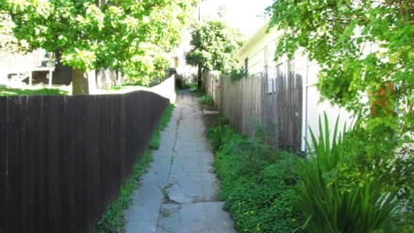
We turned up San Luis Road. Santa Barbara Path goes to the left at the telephone pole.

This is the view up Santa Barbara Path.
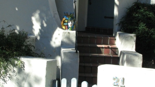
At the top, we turned right onto Santa Barbara Road, and then turned left onto Florida Avenue. There is some art at #21 (the house was built in 1930).
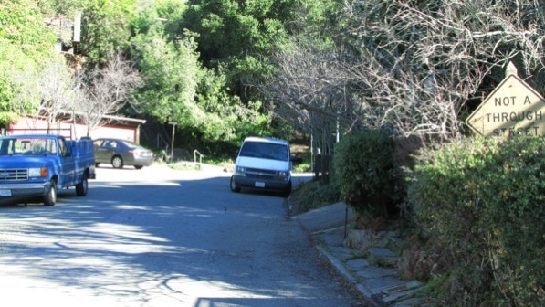
We continued up Florida Avenue, past the Not A Through Street sign. The next staircase is at the end of the street.
Florida Walk is easy to find, with a metal handrail and street sign.
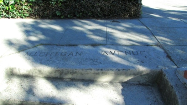
At the top we are on Michigan Avenue (page 223).
Up at the intersection with Kentucky Avenue, the view is quite good (noted in the book on page 223). The telephone poles and wires here are underground. We are at the first camera pin on the map.

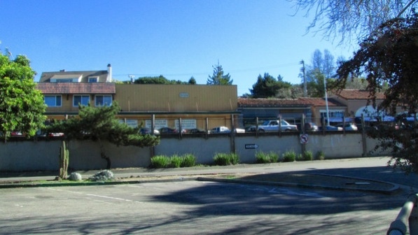
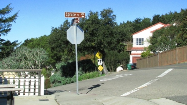
Dorothy Bolte Park (the start of Walk #17—last summer!) could be spotted through the trees lining the side of the road up at the intersection with Spruce Street.

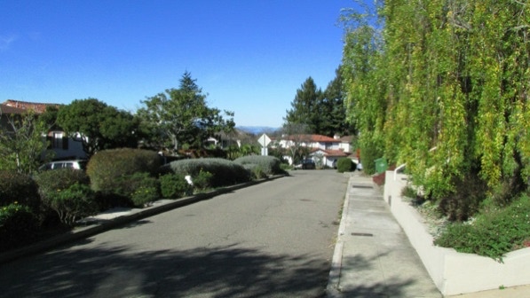
The book advises to walk on the uphill side of Vassar Avenue.
The left turn onto Holmes Path is just past the center planting strip. There is a sign marking the path’s entrance. For now, anyway.
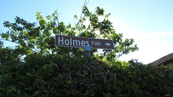
This is the view down Holmes Path.

At the other end, we went left and took the short wooden staircase across to the lower level of Kentucky Avenue.
Just before the left turn onto Maryland Avenue, look for the Mini Cooper automobile painted in the colors of the University of California (blue and gold) and with the license plate “GRRRWAH”, which must be the growl of the mascot, the California Golden Bear. The car pin on the map is the location of the Mini Cooper.
This is where we turned left, to walk down on Maryland Avenue. 83 Maryland Avenue was built in 1927.
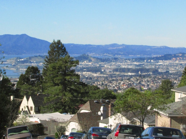
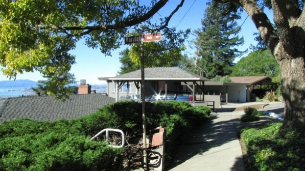
The book (page 224) reports fine views at this location. We are at the second camera pin on the map. This photograph shows Mt Tamalpais in Marin County, San Pablo Bay and the City of Richmond. Also, the reappearance of telephone poles and wires.
At this point, we are at the red pin on the map.
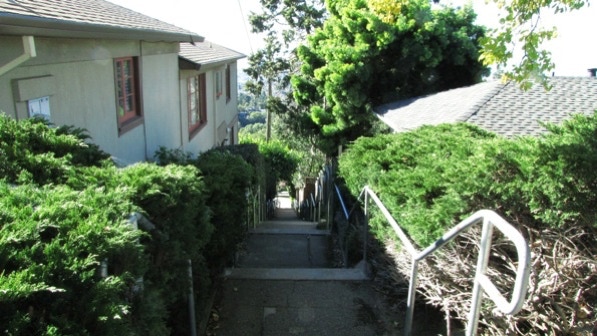
Farther down the street, we turned right onto Vermont Avenue and in a short distance, we were at the top of Maryland Walk (which has a sign).
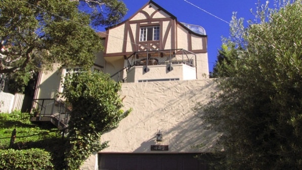
At the bottom (Boynton Avenue) we turned left and looked for the “a big beige home on the left with exposed timbers” (page 224). One thing we’ve learned on these walks is house colors change; the address is 449 Boynton Avenue (built in 1929).
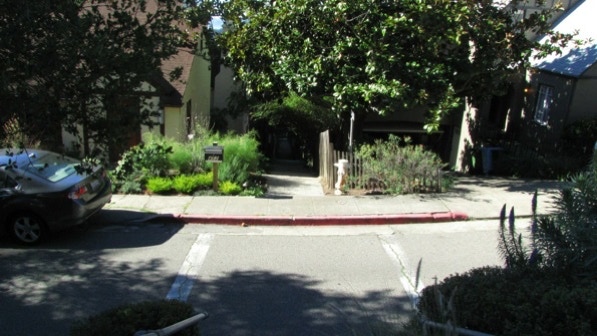
Boynton Walk is easy to spot, with a sign and a cross walk.
At the bottom, we turned right and walked back toward Kensington along Arlington Avenue.
We are back at the starting point here. The book (page 224) recommends getting a “treat at the new Sugar Cone Café.” Alas, after two years, it is now out of business.
We went out in the brilliant morning sun and decided to do all of the figure eight, and not just half.
The book reports 340 steps and 2.7 miles. According to Google maps, the distance is 2.4 miles.
Next—El Cerrito, the last of the walks.
