
#35—Albany Hill
Walk #35—Albany Hill
Saturday, 19 January 2013
It was 57F and sunny at the start of the walk. Here is the map of the walk (blue line). The starting point is the blue pin.
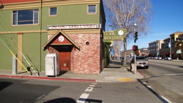
This is the “evocative–looking Club Mallard” mentioned on page 207. it didn’t look open, so we moved along without the recommended highball.
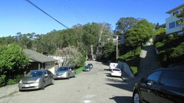
Walking along Washington Avenue, we saw Albany Hill at the intersection of Madison Avenue (misnamed as Street on the Google Map). There is a eucalyptus forest up on the hill.
Up at Cerrito Avenue, the route goes to the left; stay on Washington Avenue.
We walked up the hill, looking for the first staircase, Catherine’s Walk (page 208). As soon as we saw the Golden Gate Bridge, we were at the staircase.
It’s steep.
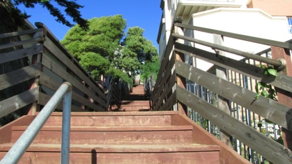
The book is right, there are views of San Francisco, the Berkeley hills and downtown Oakland. The air quality today isn’t very good, though.
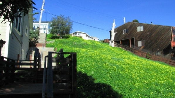
About half way up, we came to this pretty vacant lot with its flowering weeds.
The entrance to this house is along Catherine’s Walk.
Here is the view from the top of Catherine’s Walk. The Lawrence Hall of Science (Walk #11—Terrace View Park) is at the upper left. Downtown Berkeley is on the right side of the photo, and the Campanile (Walk #5—Campus Walk) is in the middle of the photo.

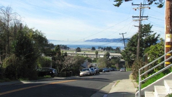
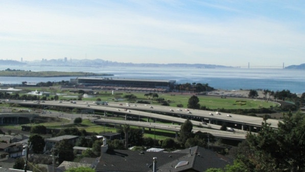
Also noted on page 208 is the view from another vacant lot along Hillside Avenue. San Francisco is across the Bay. Closer to us is Interstate 80, which isn’t making as much noise today as it did the last time we were up here. Golden Gate Fields race track is in the middle of the photo.
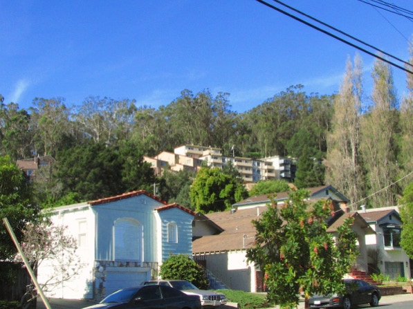
This is the view up Hillside Avenue. Albany Hill Park is at the end of the road.
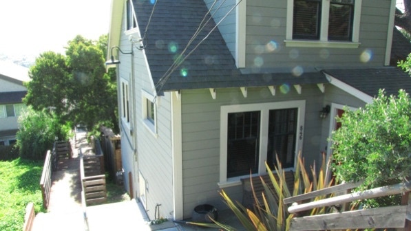
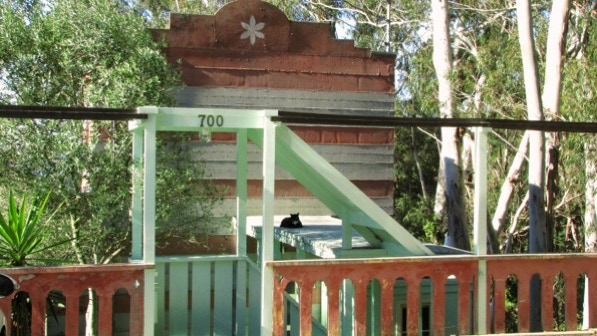
At the end of the road, we came upon the most interesting house of the day. Plus another cat.
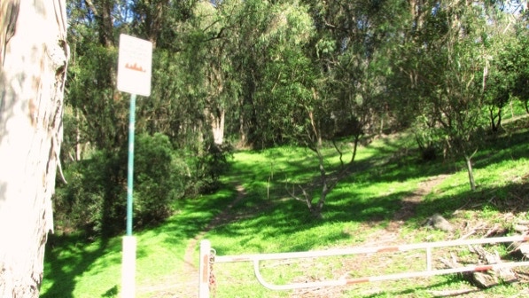
The directions on page 208 may be confusing, so we’re putting in a few photographs to show what we did. We entered the park via the opening between the sign and the metal barrier.
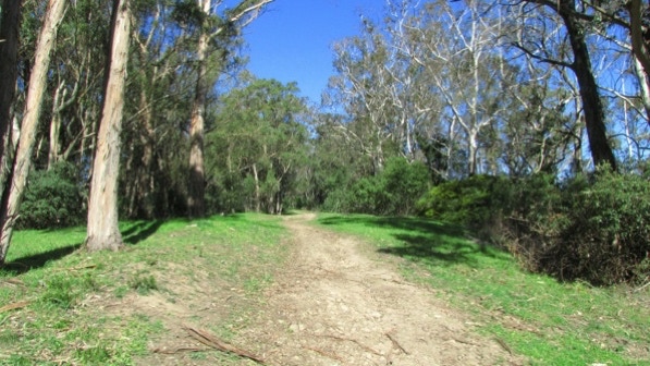
Not far into the park, we took the “path” to the right, towards the top of the ridge.
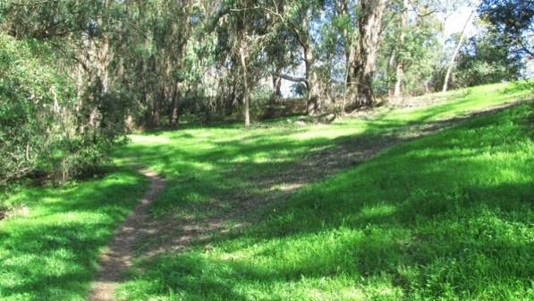

Once we were up at the ridge line, the trail is quite clear.
Note that the Google Map here shows the approximate route through the park. We are at the yellow pin on the map.
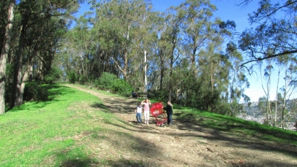
The top of the hill (338 feet above sea level) is ahead. The “martial–looking cross, erected by the Lion’s Club” is in the center of the picture.
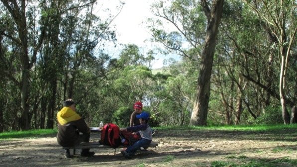
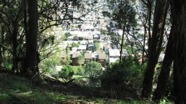
Page 209 refers to fine views across the Bay. We could see the Golden Gate Bridge here, barely, through the trees. The forest now hides a lot of the views. There are a lot of butterflies here.
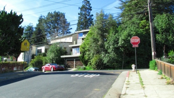
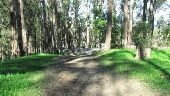
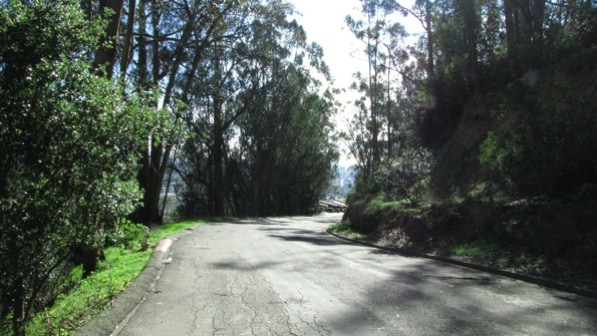
The trail ends here, at the beginning of Taft Avenue.
This is the view down Taft Avenue.
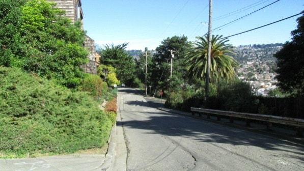
The views towards the hills are good. This photo shows the steepness of Albany Hill.
This photo shows the left turn from Taft Avenue onto Hillside Avenue. The next staircase is beyond the palm tree.
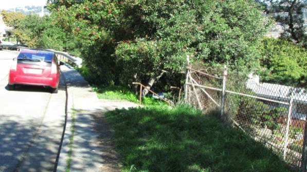
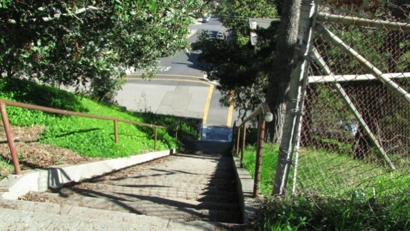
Castro Steps are not clearly marked. They are across from 925–927 Hillside Avenue, as noted on page 209. They are also at the end of the chain link fence that runs on the right side of the road.
This is the view down Castro Steps.
At the bottom, we turned right onto Jackson Street, and walked along the side of the Albany Children’s Center.
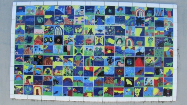
There is a display of mosaic tiles along this section of Jackson.
At this point, we are at the red pin on the map.
We continued along Jackson, and then turned left down Washington Avenue, back to the Club Mallard.
The first half of January was very chilly. Yesterday the temperature began to be high enough that we decided to go out for another walk. It has not rained for about two weeks, so we selected Albany Hill as today’s walk.
The book reports 155 steps and 1.5 miles. According to Google maps, the distance is 1.5 miles.
Next—Kensington Figure Eight.
