
#37—Kensington North
Walk #37—Kensington North
Sunday, 30 December 2012
It was 47F and sunny at the start of the walk. Here is the map of the walk (red line). The starting point is the blue pin on the map.
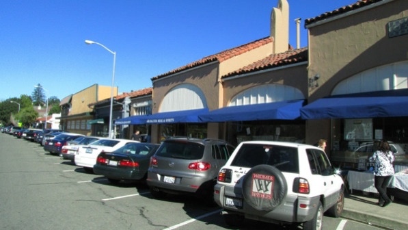
The walk begins right on the county boundary, in unincorporated Kensington. This is the “ancient Rexall drugstore” mentioned on page 217.
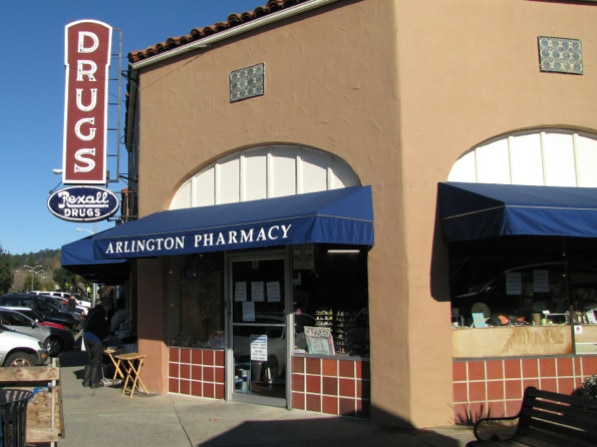
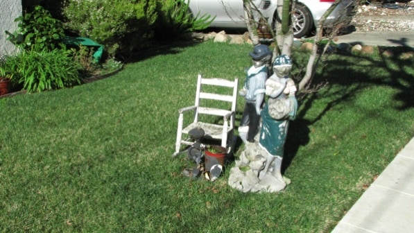
We walked up Amherst Avenue (to the right of the drug store) and came to ornamentation on the front lawn at 264 Amherst.
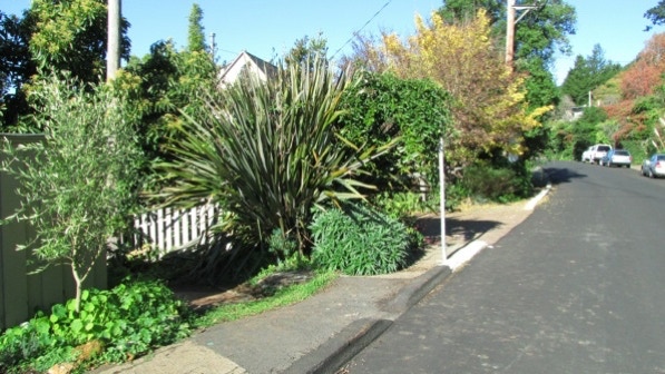
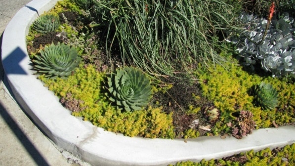
Just past the house at 255 Amherst Avenue is a fine garden of succulents.

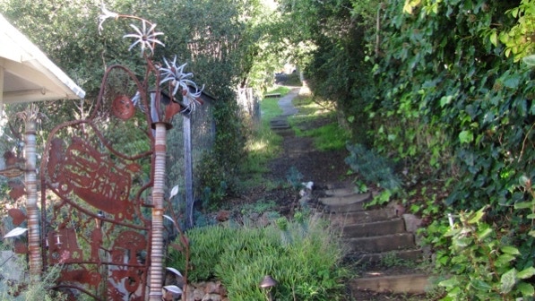
We turned right onto Princeton Avenue and up at the intersection with Yale Avenue is the entrance to Public Path #9.
Right at the start, the right side of the path has an art installation!
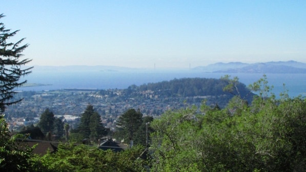
The view is good. That’s Albany Hill, which is the location of the walk we postponed today.
The second segment of Public Path #9 is a bit rougher at the beginning.
The second segment has pavers.
This is the view down Cambridge Avenue. They have big gutters in Kensington!
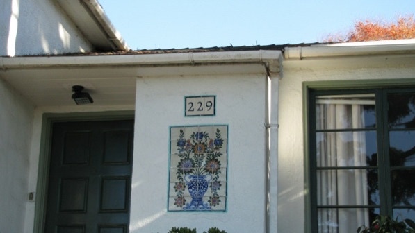
229 Cambridge has a stylish mosaic by the front door.
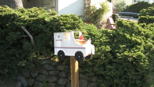
The house also has an unusual mail box.
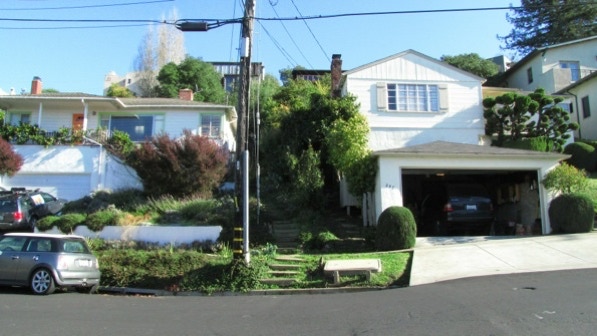
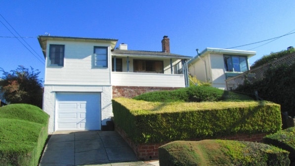
Many of the houses we’ve walked past have one car garages, such as this one at 207 Cambridge. The house was built in 1941.
We landed on Arroyo Avenue, turned left and walked up to Monticello Avenue.
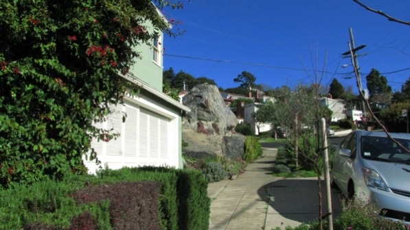
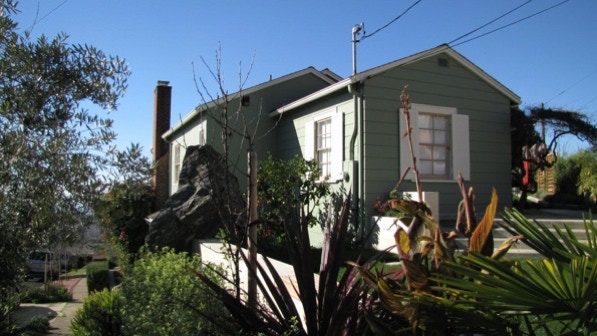
On Wellesley Avenue, we came up to the house with the “massive outcropping of rock” at the corner of Kenyon Avenue (page 218).
Well, not everything is done in threes, apparently. This house (built in 1944) is at 207 Willamette Avenue.
We are at the yellow house pin on the map.
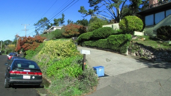
This is the “curvy drive and sloping lawn at 163 (Highland Boulevard)” mentioned on page 218. There is a house at the end of the drive, which has no other access to the street.
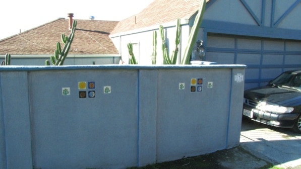
Across the street from the curvy driveway, there is a cactus garden and a tiled wall at 176.
This is the house with no other access to the street than the long, curvy drive.
We took the middle path as instructed and entered a forest. The white trunks are old eucalyptus trees.
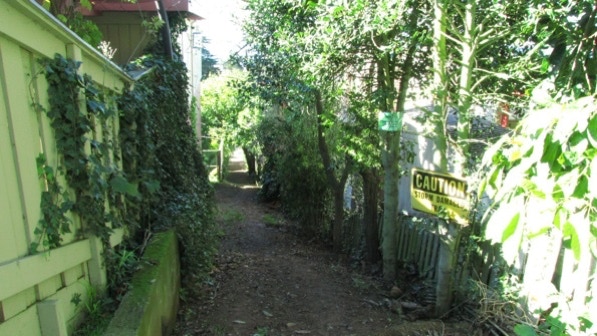
The entrance to the “narrow, overgrown trail leading down to the left” (page 218) is just before the pole.
The signs were not encouraging, and it did look slippery, so we moved along on the alternate route. One the map, we are at the red triangle pin.
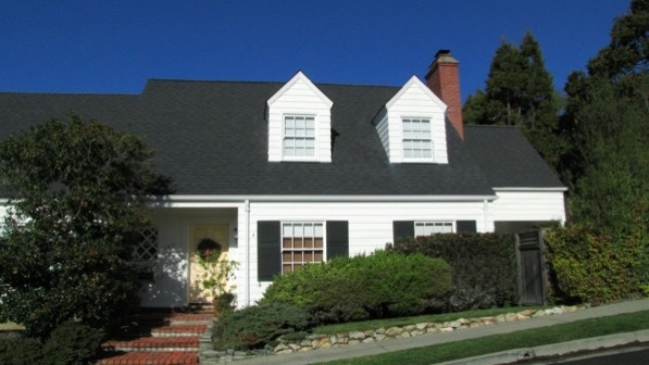
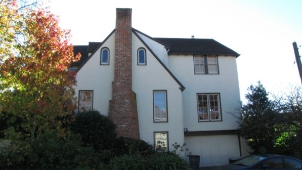
100 St Albans Road (built in 1935) is large, for the area, and has a nice looking chimney. This is at the corner of Westminster Avenue.
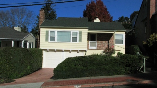
9 Westminster Avenue is representative of the street’s houses. It was also built in 1941.
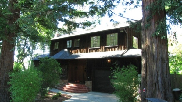
We turned left on the Arlington. It isn’t mentioned in the book, but across the street is a house with what looks like redwood bark on the facia. It is 150 the Arlington, and was built in 1946.
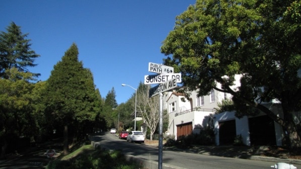
Public Path #6 is marked by a sign in the middle of the Arlington.
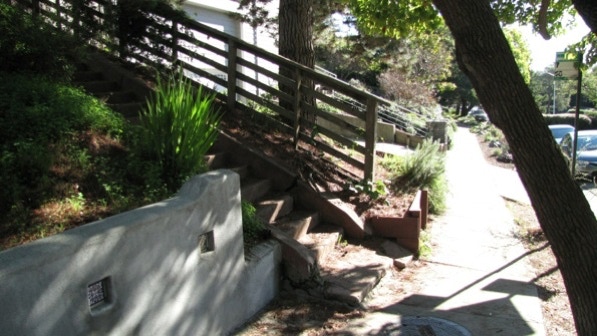
As mentioned on page 219, the staircase starts just after “a low wall dotted with Mexican tiles.”
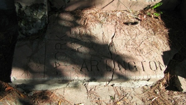
This is the cement labelling at the bottom of the staircase.
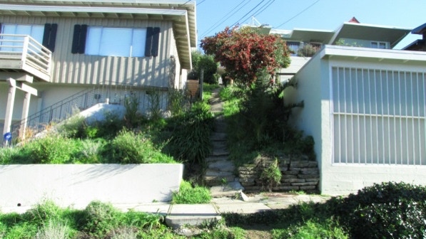
This is the view up Public Path #6.

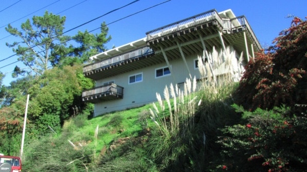
Not far up the path, someone has built a viewing platform. The cages around the trees are probably to keep deer from causing trouble.
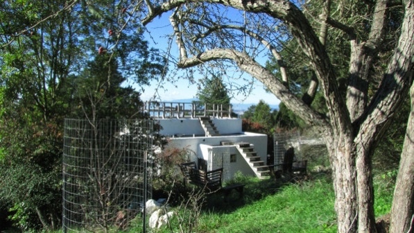
At this point, we are at the camera pin on the map.
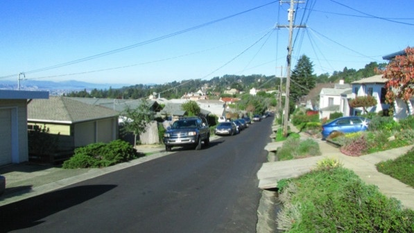
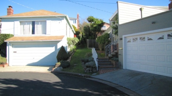
At York Avenue, the next segment of the path is just to the left of the middle of this photograph.

Up on Windsor Avenue (the next landing) the path continues as grass (page 219).
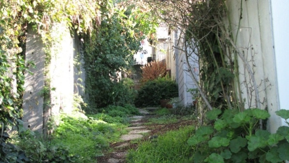
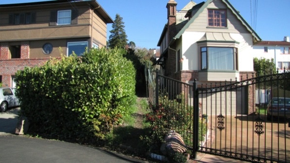
The next segment of Public Path #6 starts to the left of the metal fence.
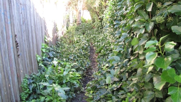
The book describes this segment as in “deep ivy” (page 219).
At the top, we turned right onto Kenyon Avenue, and then right again on Wellesley Avenue. Here’s the rock house again.
At 708 Wellesley, on the corner with Stanford Avenue, there is a new succulent garden.
We went downhill on Oberlin Avenue to the Arlington. We did not see the four steps mentioned on page 219, but there was a brand new accessible ramp, which might have been built to replace the steps.
Soon we were back in downtown Kensington.
It had been raining, so we decided to postpone muddy Albany Hill for now. El Cerrito is a big walk, but the chill had us looking for a shorter walk. Thus, Kensington North.
The book reports 267 steps and 1.8 miles. According to Google maps, the distance is 2.1 miles. We think there is an error in the book regarding the number of steps reported. We counted and came up with a figure that was approximately 110 more steps!
Next—Albany Hill (if it isn’t too muddy); otherwise, Kensington Figure Eight. But not at 47F.
