
#34—Dracena Park
Walk #34—Dracena Park
Saturday, 15 December 2012
It was 46F and cloudy at the start of the walk. Here is the map of the walk (pink line). The starting point is the blue pin on the map.
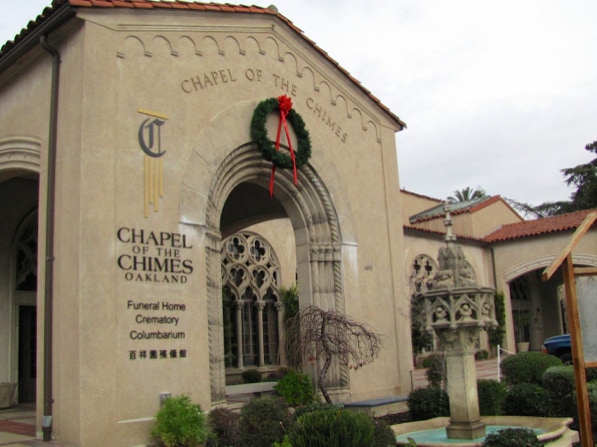
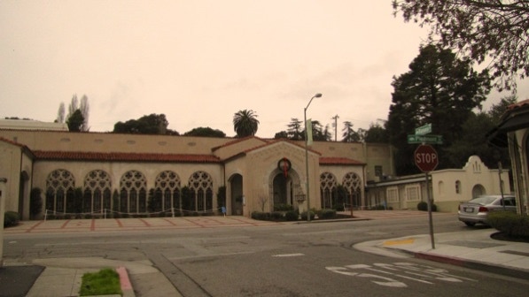
The walk begins on upper Piedmont Avenue at the Chapel of the Chimes.
This is a view of an entrance to what the book calls a “library” (page 199). You have to see it for yourself.
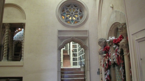
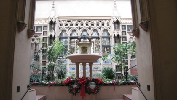
There is a bit of seasonal cheer in front of this room.
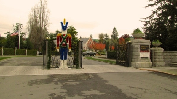
Ok, enough of the dead. We head outside to the living world. And the entrance to Mountain View Cemetery. Which is having a seasonal display, “Holiday Circle of Lights.”.
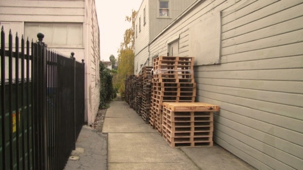
The first staircase starts as a path, across the street from the Chapel of the Chimes. We’ve been on it before, and the wooden pallets have always been there.
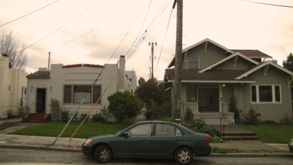
Looking out from the end of the fist staircase towards the next path, which goes between these two houses. At this point, we are on Pleasant Valley Court North.
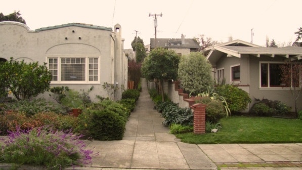
At the end of the path, now on Pleasant Valley Court South, the path continues up to Moraga Avenue.
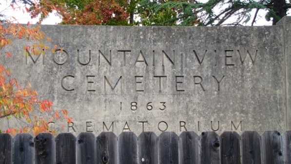
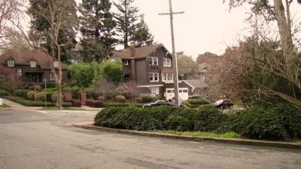
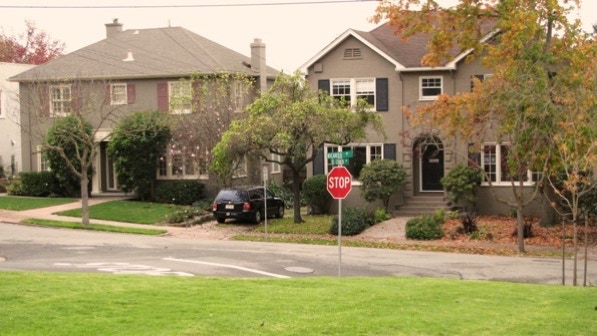
When we reached Moraga Avenue, we turned left and walked until we go to the “huge stone sign...for Mountain View Cemetery” (page 200).
We crossed Moraga and went downhill on Ramona Avenue. At the corner with Ronada Avenue is the “beautiful old Craftsman (1916) with a freestone foundation and chimney” (page 200).
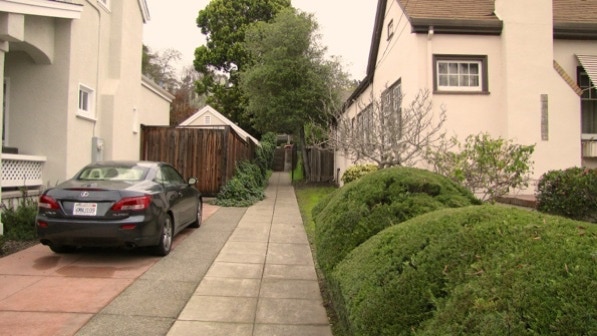
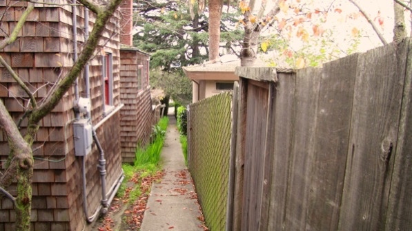
Ramona Avenue continues downhill and around a corner. The next staircase is visible here, by the telephone pole and just past the fence with the white top.
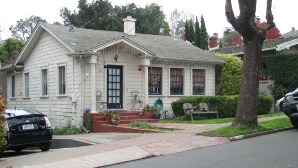
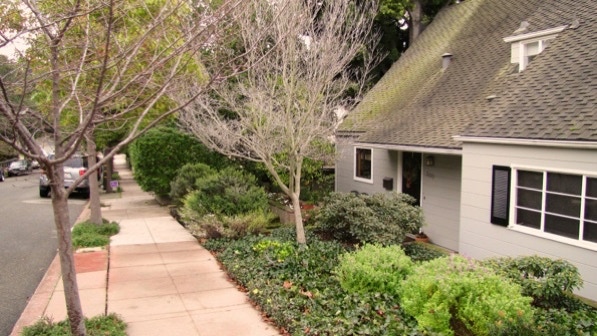
Just across the street from the path entrance is this house at 111. It was built in 1921, and may be the smallest house in Piedmont.
We landed on Arroyo Avenue, turned left and walked up to Monticello Avenue.
When we came to Ramona Avenue, we tuned right. The next staircase is just past this house at 300. There is no sign marking the staircase.
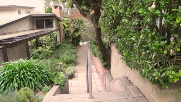
It is a short staircase down to Park Way and the entrance to Dracena Park.
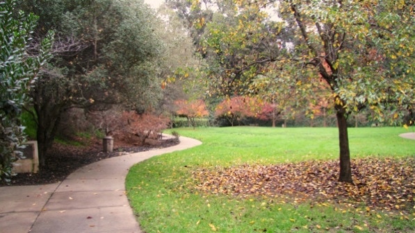
This is Dracena Park. The route turns left, goes up to the intersection here, and then goes to the right.
These are the steps down into the park. At this point, we are at the picnic table pin on the map.
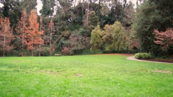
We took the middle path as instructed and entered a forest. The white trunks are old eucalyptus trees.
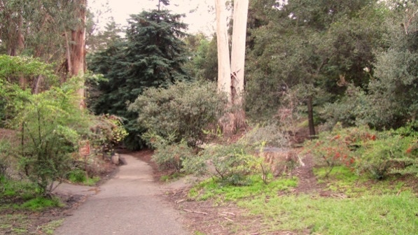
The young redwoods came next.
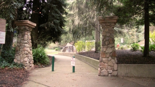
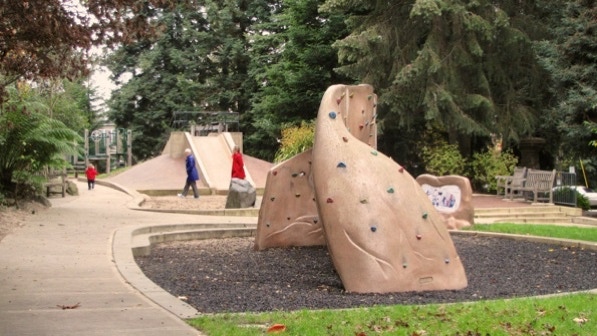
We went through the stone columns and toward the playground (page 200).
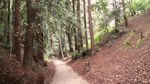
The book says this is about as lovely a city park as there is in California. It certainly is nice. We walked on the paved path shown here.
It does look like it is an old quarry. The route goes out to the trees and back along the path on the right.
Our route is on the left, following the child in red.
Past the playground, this looks like the staircase to take up (page 201).
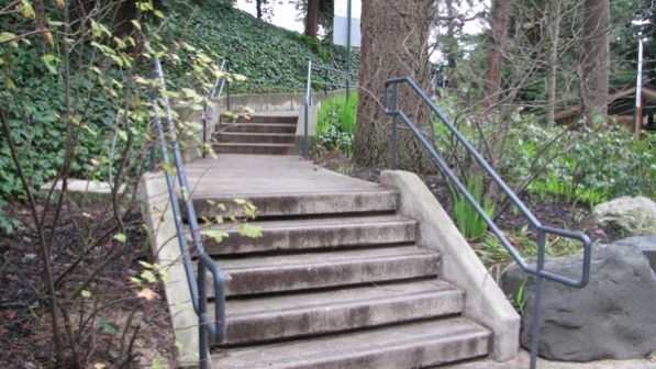
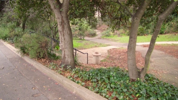
Near the top, the next staircase goes down and to the right.
At the bottom, we turned left and walked on the path here, towards the couple out for a stroll.

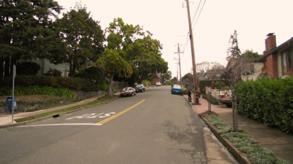
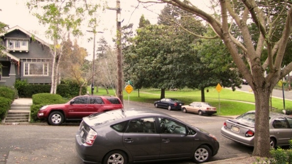
Once we are down at the stop sign, the route goes to the left along Ricardo Avenue.
At this point, we are at the red pin on the map.
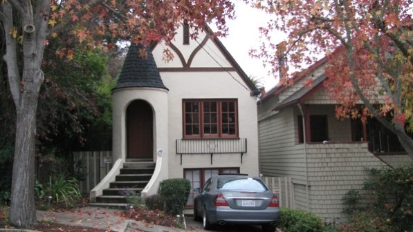
After we turned right onto Cambridge Way, we came across this fine turret house built in 1925 at 132 Cambridge.
Soon we turned right onto quiet York Drive.
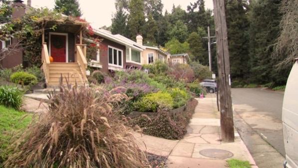
The path back to Ricardo Avenue is not marked by a sign. But it does have a shaped bush and telephone pole to point the way.
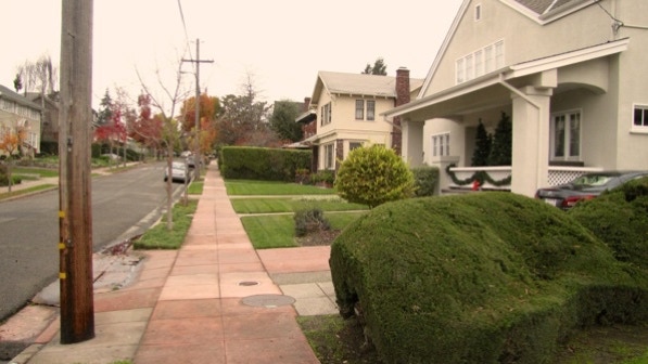
This is what the sidewalk looks like.
At the other end, on Ricardo Avenue, the route goes up Artuna Avenue. Aim for the No Outlet sign. The path we took out of Dracena Park is over by the yellow sign on the right.
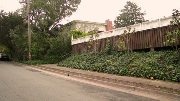
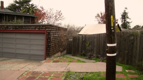
The entrance to the “sloping sidewalk, without stairs, that lifts you from Artuna to another stretch of Monticello” is marked by the telephone pole and manhole cover in the sidewalk.
This photo looks up the path. There’s a pumpkin that could be left over from Halloween.

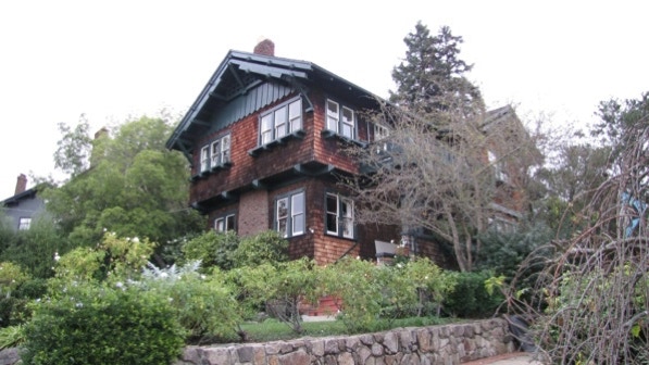
At the top, don’t miss 11 Monticello, built in 1907. The details are quite nice.
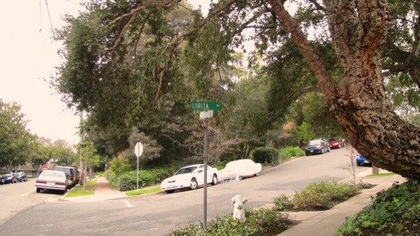
Page 201 cautions that the sign for the next turn, right onto Lorita Avenue, is missing. It’s back now!
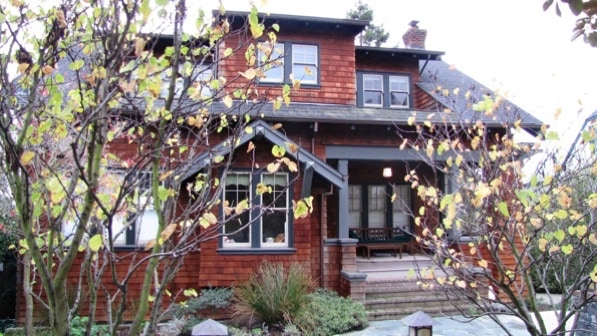
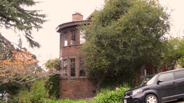
This must be the “massive, shingle–sided Craftsman with a rounded face” (page 201). 36 Monticello Avenue was also built in 1907.
This is 24 Lorita Avenue, mentioned on page 201, “take special note of the charming matched set of clinker–brick and shingle two story residences at 24 and 28.”
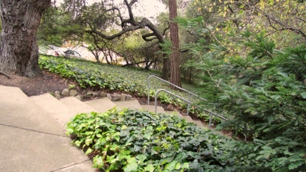
The next path is on the other side of the street. The entrance looks like this.
This path goes down to Monticello Avenue.
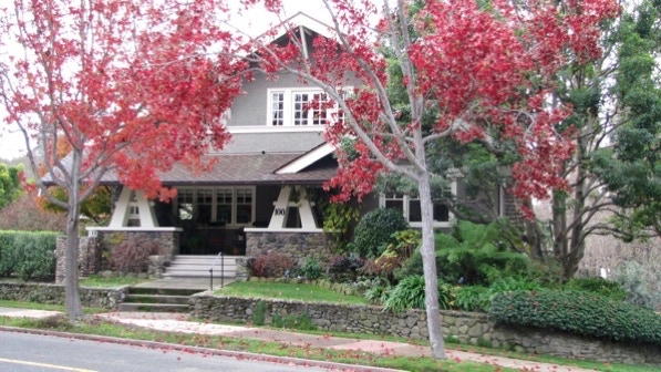
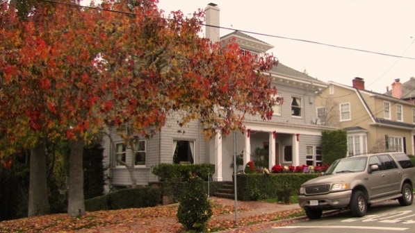
103 Monticello Avenue (built 1906) is showing color today.
At this point, we are at the yellow house pin on the map.
We turned left, in front of 103 Monticello Avenue, and proceeded up Ramona Avenue, back towards the cemetery. We crossed Moraga Avenue (on the boundary with Oakland) and saw the right turn called for on page 202.
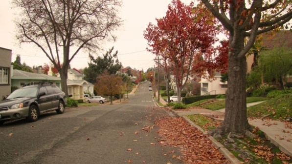
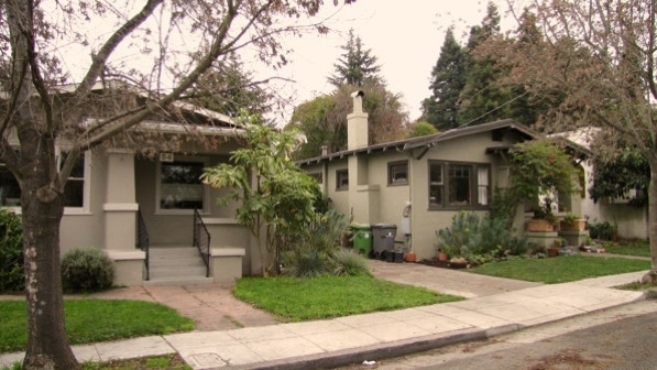
We’ll leave it to you, but a lot of houses on Ramona Avenue have supporting columns that look something like those on the Highland Hospital walk. The houses on this long block were built in the 1920s, it looks like.
Most of the houses are painted in quiet, earth tones.
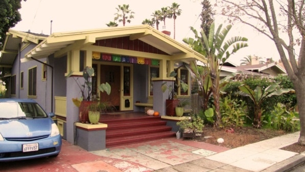
This colorful one at 35 Ramona Avenue looks like it has a Thai theme.
At the end of Ramona Avenue, we are back to the Chapel of the Chimes.
This is an easy walk starting in Oakland and meandering around in Piedmont. It is, as the book says, beautiful.
The book reports 152 steps and 2.1 miles. According to Google maps, the distance is 2.1 miles.
Next—Albany Hill (if it isn’t too muddy); otherwise, Kensington North
