
#33—Merriewood
Walk #33—Merriewood
Sunday, 9 December 2012
It was 55F and sunny at the start of the walk. Here is the map of the walk (gray line). The starting point is the blue pin on the map.
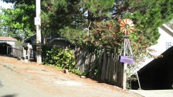
The first staircase is not well marked. Look for 5925 Thornhill Drive.
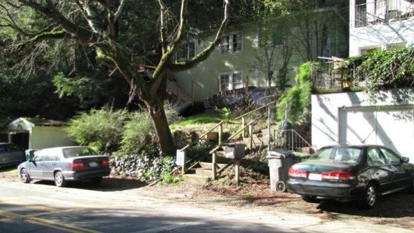
The first staircase was a great warm up! The top is Marden Lane, and the second segment of the staircase is across it. The book gives their color as “fire–engine red” (page 195).
Two residential units have their entrances off of this staircase.
At the top we landed on Merriewood Drive. Parking is permitted only on one side of the streets in much of Montclair. That leaves enough room for a fire engine, something that was an issue in the fire storm of 1991.
As the book says, enjoy the view of “eccentric houses, many of which are old and appear to have been built with hand tools” (page 196). Zillow has a difficult time with information about the houses on the left/upper side of the street in this area.
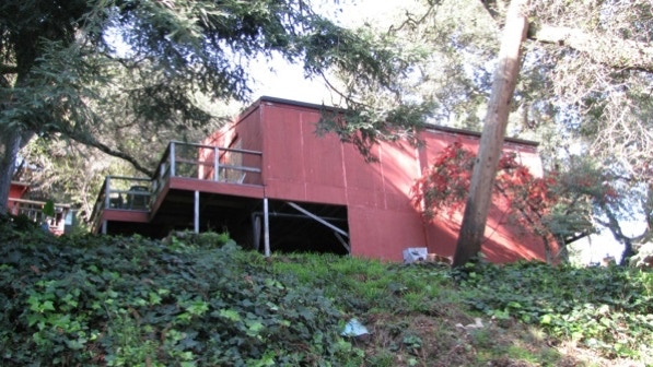
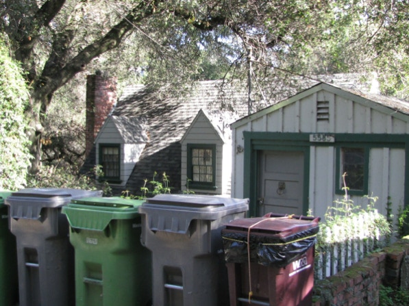
Because of the terrain, some keep their trash cans, paper and glass recycling cans and green waste cans out on the street. The brown can is trash, and a guess as to why the lid is tied down: skunks and raccoons.
This structure looks like a one room cabin!
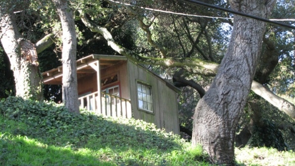
We are at the wine–colored pin on the map.
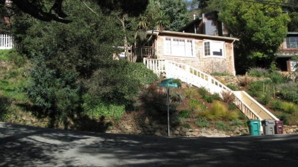
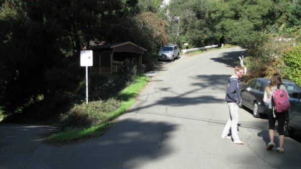
After the one room house, Merriewood Drive takes a sharp right turn. The correct route, slightly to the left, is on Valley View Road. Farther on, this is the intersection of Valley View Road and Taurus Avenue. We went to the left, up Taurus.
The next intersection is complicated. The proper route is to the right of the Home Alert sign with the eyeball, up the street here that is in the sunshine.
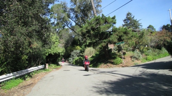
Here we kept to the left (following the jogger) on Sherwood Drive, as described on page 196. Merriewood is the street that goes off to the right.
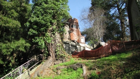
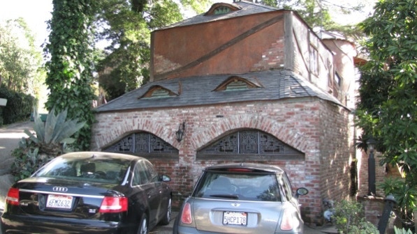
This is the first view of the “imposing brick–bottom castle” (page 196) which is at #1 Abbott Drive, up and around to the right.
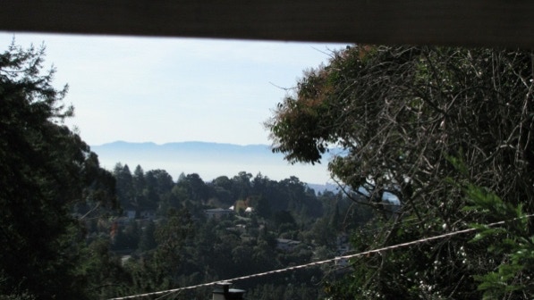
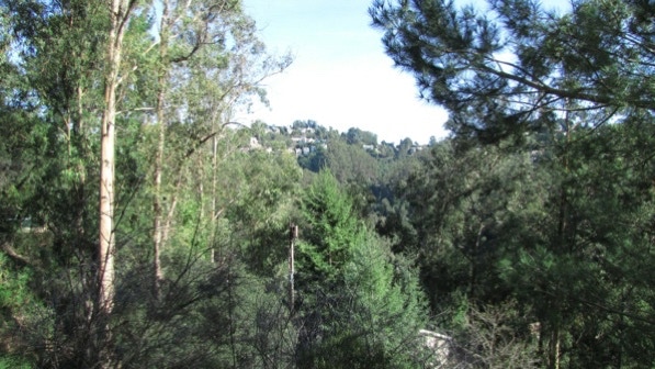
At the same spot, there is a view towards Rockridge and the area of Walk #31.
We are at the camera pin on the map at this spot. The castle is the yellow pin on the map.
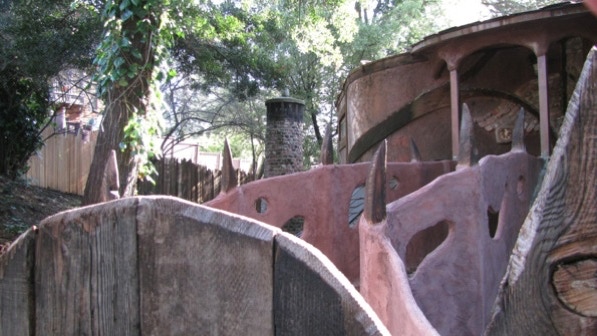
The castle is interesting. It even has what appears to be a moat.
This is the bridge from Abbott Drive into the castle.
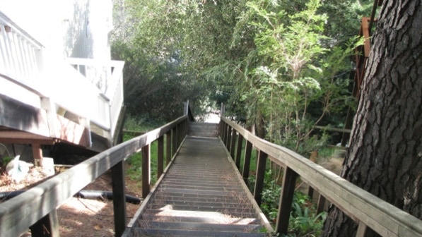
The next staircase is marked with a sign.
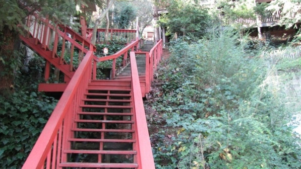
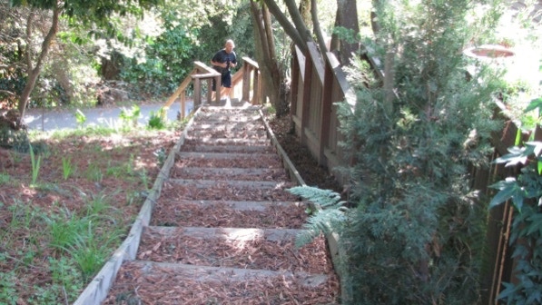
On our way down, we came across a jogger coming up. On this walk, joggers coming up staircases isn’t unusual. We talked to one woman about whether she jogs down them, and she said they are too steep. We haven’t tried jogging on them, but they are indeed steep.
Those are redwood needles on the staircase.
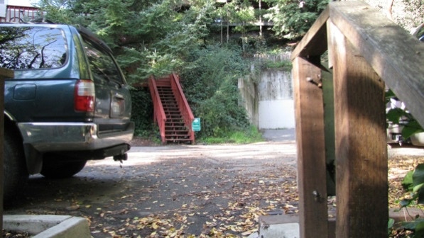
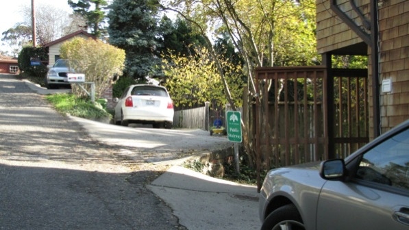
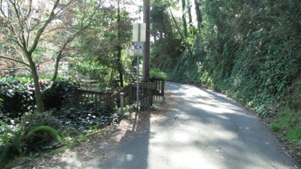
We turned left onto Merriewood Drive at the bottom, and walked over to the next staircase, which is just past the telephone pole.
Is there a Home Alert sign with an eyeball at every staircase up here?
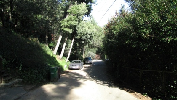
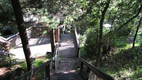
Down we went to Valley View Drive. The steepness is easy to see.
There is a view up to the top of Montclair and the forest about half way down.
The next staircase down is to the right. Lots of ivy, everywhere.
This last staircase is a long, “super–steep” one (page 196).
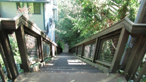
Getting down now towards, yes, Merriewood Drive!
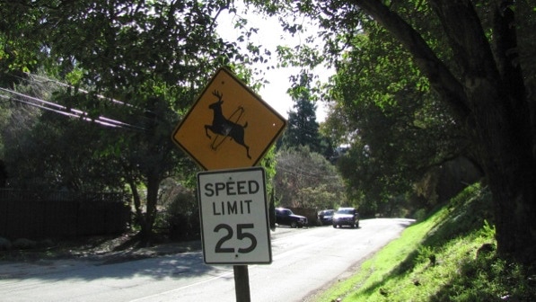
At the bottom, there is a short bit of Merriewood before reaching Thornhill Drive and a deer sign that has been altered by someone with a sense of humor.
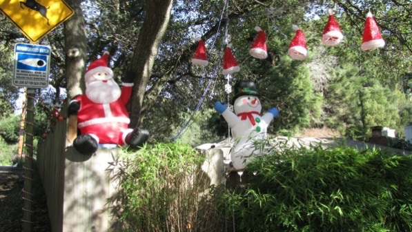
At the intersection of Gouldin Road, a resident has put some seasonal decorations.
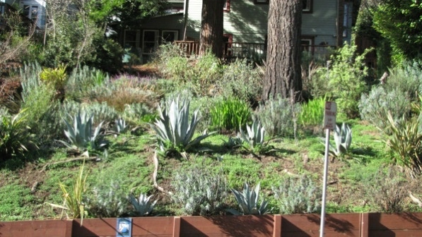
A short stretch further on, and across the street, is a “Bay–Friendly Garden” marked by a sign with a pelican.
The starting point is just a bit farther along Thornhill.
Another Montclair walk! Each time we’ve walked this, our legs are rubbery by the end, as the staircases down are steep!
The book reports 637 steps and 1.2 miles. According to Google maps, the distance is under a mile.
Next—Dracena Park
