#32—Montclair Village
Walk #32—Montclair Village
Sunday, 2 December 2012
It was 56F and sunny at the start of the walk. It had been raining hard in the morning, so this walk took place in the late afternoon.
Here is the map of the walk (green line). The starting point is the blue pin on the map.
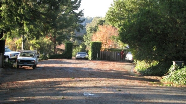
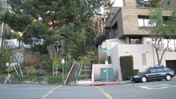
This is the top of La Salle Avenue. The first staircase is up by the parked car, and goes off to the left.

After climbing a few steps, the path goes first to the left and then takes a sharp right (see the arrow).

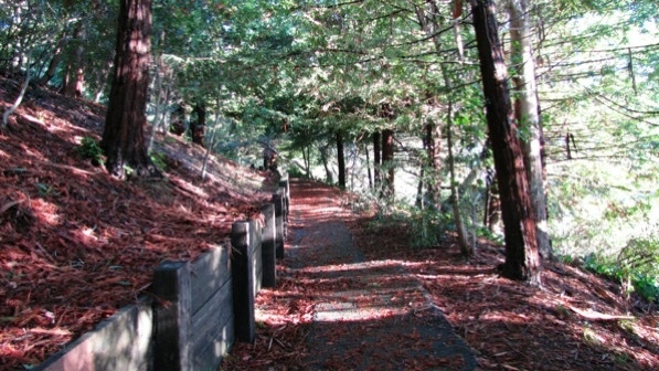
The path goes through a redwood forest.
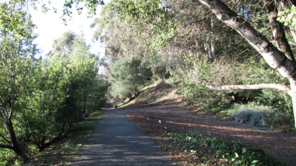
At the end of the path, we turned left. We are now on the old railroad right of way. The trains here went across the Bay Bridge to San Francisco Transbay Terminal and, in the other direction, up to Sacramento.
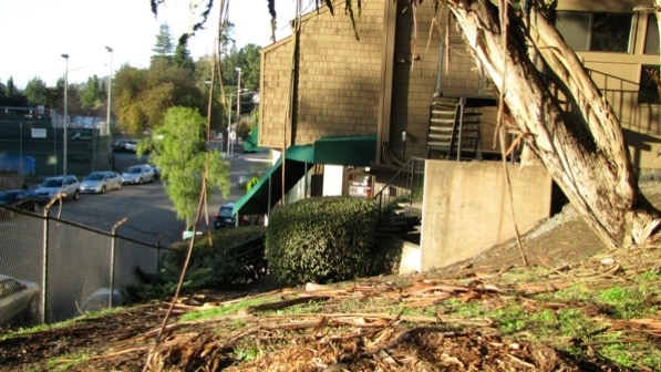
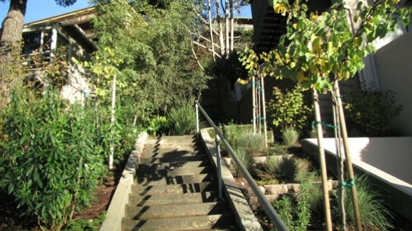
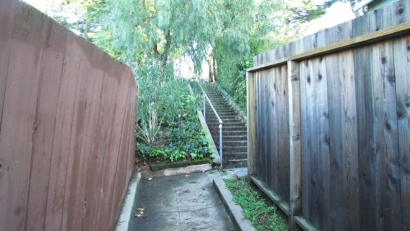
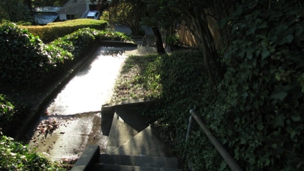
Towards the end of the path, as the book says, we walked towards the green handrails on the left. In this photo, they are in the shade, to the left of the trimmed bush.
This photo was taken at 3:13 pm, and the sun is already setting in Montclair Village! That’s because there is a big hill to the west of the Village, and the sun “sets” about an hour earlier here than elsewhere.
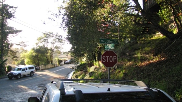
Once down on the sidewalk, the next staircase, unmarked, is at the stop sign.
Just a guess, but Colton Boulevard is named for the political fixer of the Southern Pacific Railroad. Or perhaps his widow.
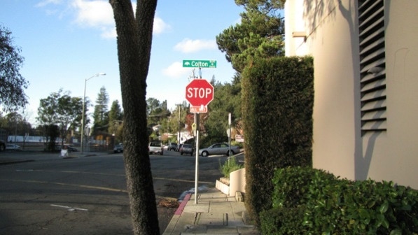
The staircase looks like it could be private, related to the commercial building on the right. But it is the correct one to climb.
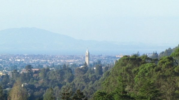
This is the view from the top of the first segment, on Magellan Drive. The second segment is to the right of center in this photo.
The Campanile (see Campus Walk #5) is mentioned as being visible from this upper segment, and here it is, about four miles away.
This is the view up towards the end of the second staircase segment.
At the top, take some time to appreciate the view. We are at the camera pin on the map.
The signage is not ideal up here. The route goes to the left of the big, white–bark eucalyptus tree, down the hill, not up.

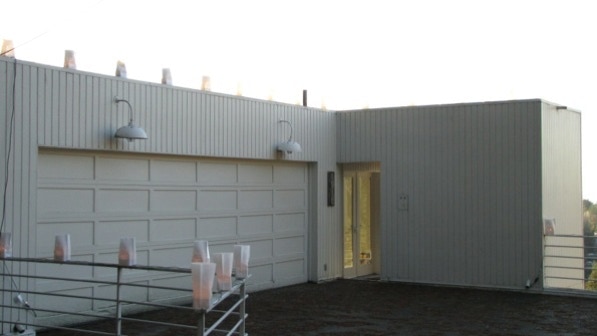
At 1915 Gaspar Drive, we came upon this interesting house. We debated whether the light bags were permanent or have been installed only for the holidays.
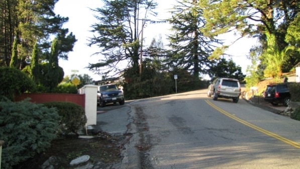
This is the intersection of Gaspar Drive with Colton Boulevard. Colton does not have sidewalks, and the left side of the street is the right place to move uphill towards Diaz Place.
The route goes to the left, just past the parked truck, and past the yellow sign.
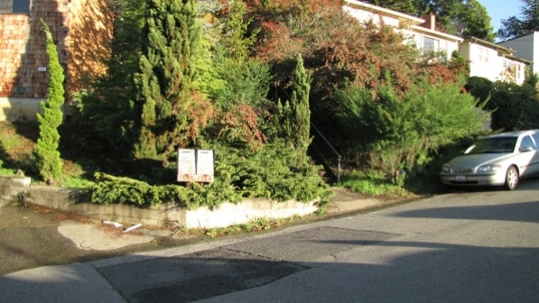
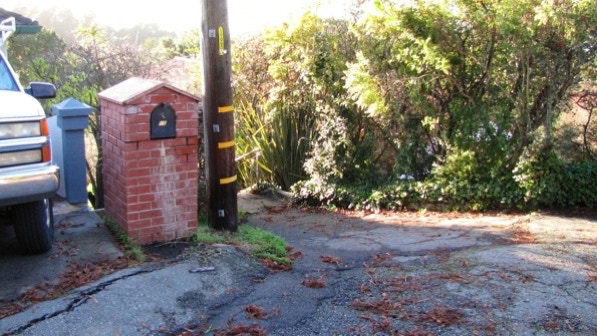
Diaz Place is short. The next staircase down is on the left side of the street, at its end.
The staircase starts just to the right of the telephone pole and brick structure housing the mail box.
At this point, we are at the red pin on the map.
This staircase drops down in a “zig–zag pattern” to Cabot Drive (page 193).
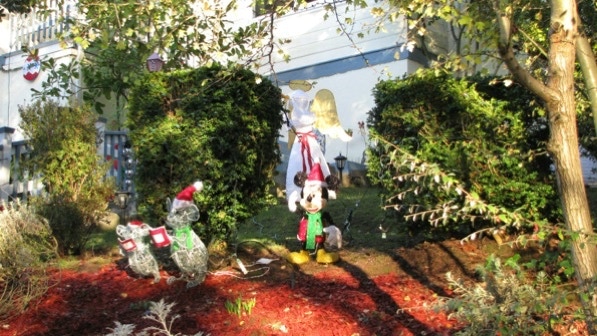
A fine seasonal display is at 5800 Cabot Drive.
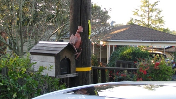
The hidden staircase down to Mountain Boulevard (described on page 193) has not only a telephone pole as a marker, but this rooster on the mail box.
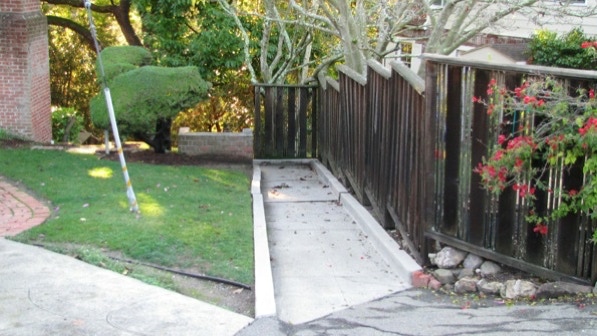
At the top, the staircase runs between a house and a wooden fence.
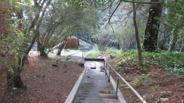
Then it enters a forest and has what the book calls the same Montclair pattern—zig-zag.
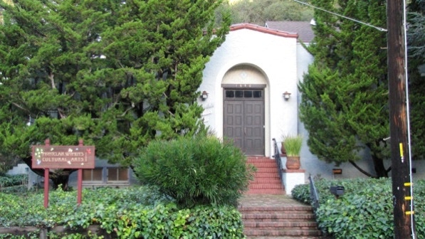
The first time we did walk, we goofed and walked over to Moraga Avenue and back to the Village. The right way is to turn right at the bottom of the staircase, walk past the Montclair Women’s Cultural Arts Club, cross Mountain Boulevard at the cross walk, and then turn left.
One of the differences between the Berkeley hills and Montclair is sidewalks. Except in the commercial areas, Oakland’s hills do not have sidewalks.
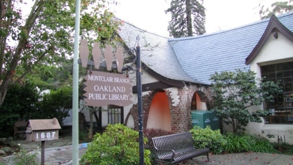
Not far up Mountain Boulevard is the Montclair branch of the Oakland Public Library.
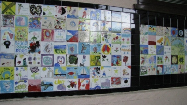
Next up is Montclair Elementary School with its collection of tiles.
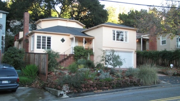
Across the street at 1816 is a 1940 house with an octagonal upper story.
Past the school, we are approaching the Village.
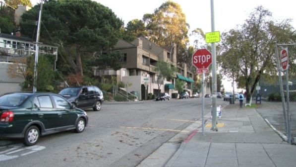
This is the first long staircase of the walk, the one with the view of the Campanile.
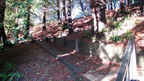
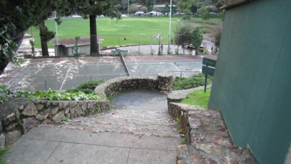
A little bit up the street, on both sides, are large concrete walls. These supported a railroad bridge over the street. One page 193, the book describes the right side of the street as having tennis courts and “a high cement wall.”
This is where we turned down to the Montclair Park.
The city has converted a popular basketball court to a skateboard zone. Why?
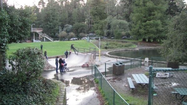
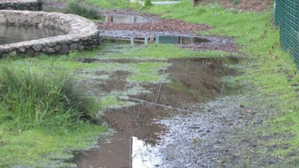
At the skateboard zone, the book directs us to the right of the pond. Alas, today that was not going to be a good idea.
We are at the red triangle pin on the map.
We walked up the other side of the pond to the “play structures for the kids” and then turned around and walked back towards the skateboard zone.
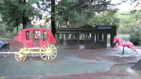
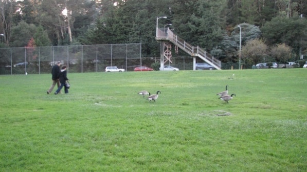
This photo was taken looking across the park from the skateboard zone and towards a pedestrian bridge over highway 13. As with Lake Merritt, this park has an “impressive” collection of waterfowl (page 193).
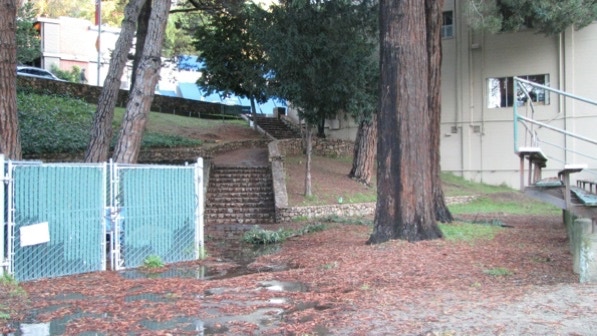
And then we went up the last staircase, by the redwoods, to Mountain Boulevard, where we turned right.
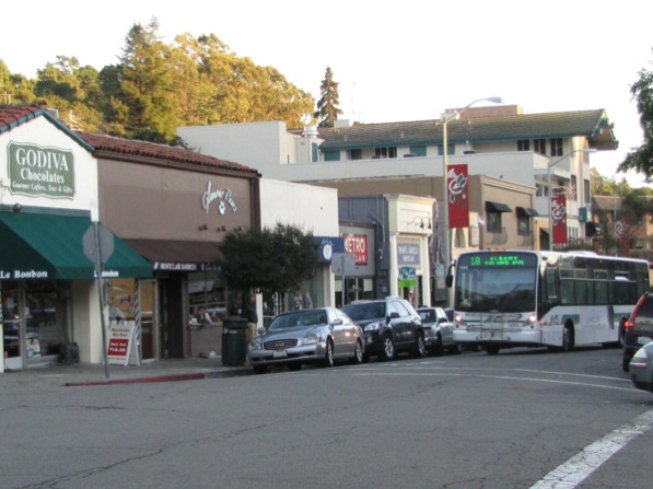
The starting point is ahead. This is the #18 bus chugging up the hill, just departing on its way back to Albany.
This bus line goes to the starting points for these walks: Great Stone Face Park; Northbrae Heights; Northbrae Rock Paths; Berryman Station; Trestle Glen and Crocker Highlands; Glenview; Oakmore; Trestle Glen and Piedmont; and Montclair Village. It also goes within a few blocks of several other walks.
If you haven’t been to Montclair in the Oakland hills, this is a good introduction. Compare this walk with any of the ones in the Berkeley hills and you’ll see significant differences.
The book reports 693 steps and 2 miles. According to Google maps, the distance is 2 miles!
Next—Merriewood