
#31—Upper Rockridge East
Walk #31—Upper Rockridge East
Sunday, 25 November 2012
It was 53F and foggy at the start of the walk.
Here is the map of the walk (red line). The starting point is the blue pin on the map.
Rather than pay to park down at the lake, we parked our car up on Broadway Terrace and we walked down to the lake and back up on the trail to start things off. Here’s a photo of the park by Lake Temescal.
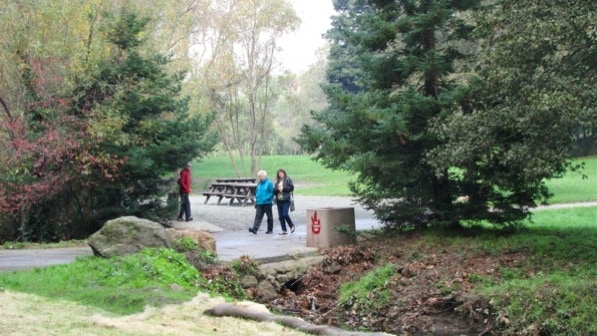
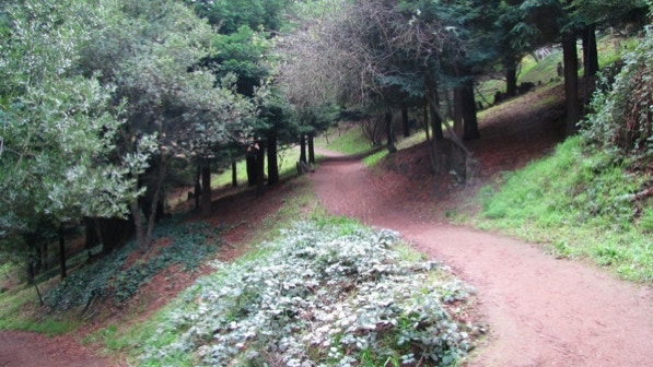
This the view of the path back up to Broadway Terrace.

The path might be muddy after a big rain.

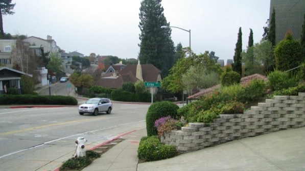
Now we are up on Broadway Terrace. This is the turn off for Erba Path.
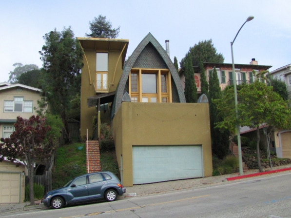
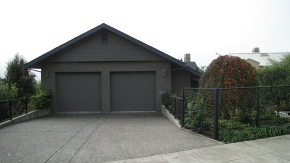
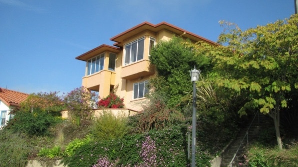
In this photo, Erba Path is to the right of the house with the two garage doors. The interesting looking house at 6356 was the second one finished after the fire storm. It generated a lot of negative statements about its design.
It has character, while some of the fire storm replacements do not.
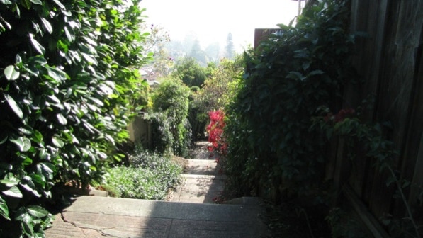
The view up Erba Path.

The house just to the left of Erba, the one with the two garage doors, has a fresco.
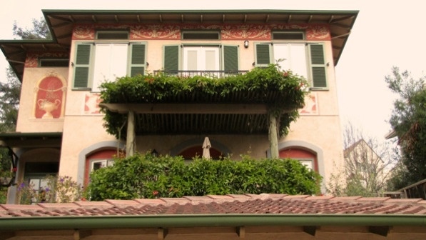
At the top of Erba Path is the plaque mentioned on page 186.
Here’s 6311 Contra Costa Road.
Here’s 6301 Contra Costa Road. This one has a bit more charm than the other one. The garage doors are a principal feature of the designs.
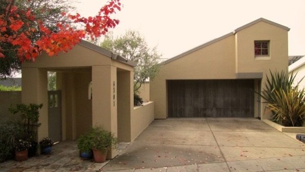
That interesting one down on Broadway Terrace, how does it compare?
This is the chimney mentioned on page 186. The house was built in 1999.
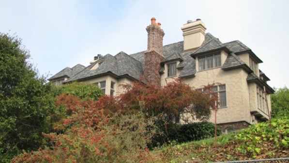
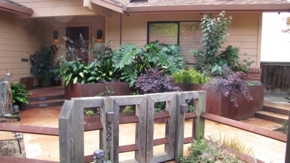
6241 was built in 1993 and has an artistic planter made of large steel plates.
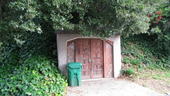
Keep an eye out for this structure, built back into the hill. What is it?
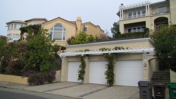
Here is a three car garage at 6198 Contra Costa Road, along with two other fire storm replacement houses.
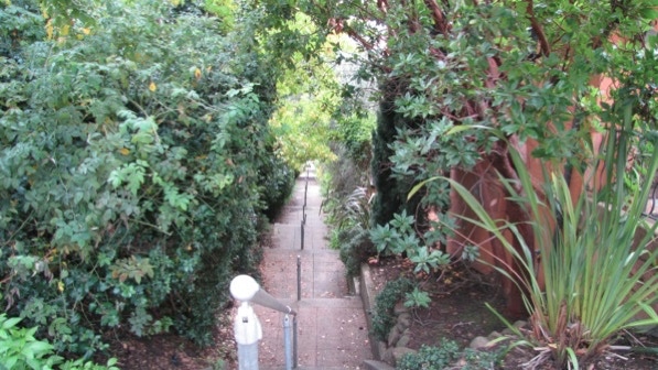
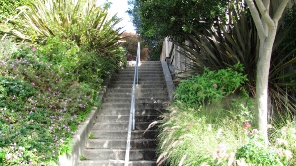
Arbon Steps are just across the street.

Arbon Steps are described on page 186 as “beautifully landscaped and well–maintained.”
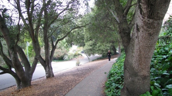
The fog is still with us, and the line of trees over at the cemetery is pretty.
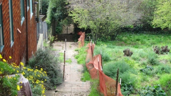
The second segment of Arbon Path (at Buena Vista Avenue) is not as well maintained, but we had no problems.
About half way down the staircase—note the Thai parasols!

Down on Broadway Terrace, we turned right. Note that the book on page 187 calls it Broadway, which is a different street. But this section of Broadway Terrace is peculiar.
On the map, we are at the Question Mark pin. That’s because the street on the other side of Ostrander Park is also Broadway Terrace!
This is a photo of the “old stamp in the concrete” (page 187). The triangular stamp on the right dates the concrete to 1918. We are at the green star and arrow pin on the map.
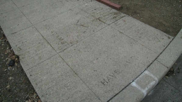
What we haven’t figured out is how this is possible, if the sidewalk is from 1918: “According to some very helpful folks at the Oakland Public Library’s Oakland History Room, Hays Avenue became part of Golden Gate Avenue in 1911 and McAdam (Street) became Romany Road in 1898.”
Anyway, we went along Romany Road on the elevated sidewalk.
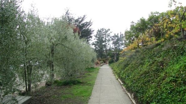
Not far along, we came to the vineyard mentioned on page 187. The house also has olive trees.
The mailbox at 5982 Romany Road is custom–made; check it out.
The directions at the intersection with Cross Road are confusing. The way to go is to aim for where the walkers are, go up the steps.
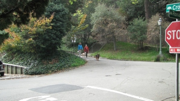
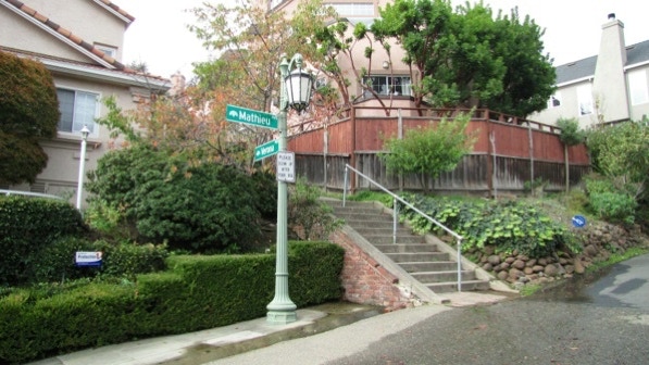
Verona Path goes up to Acacia Avenue, via a split at Mathieu Avenue.
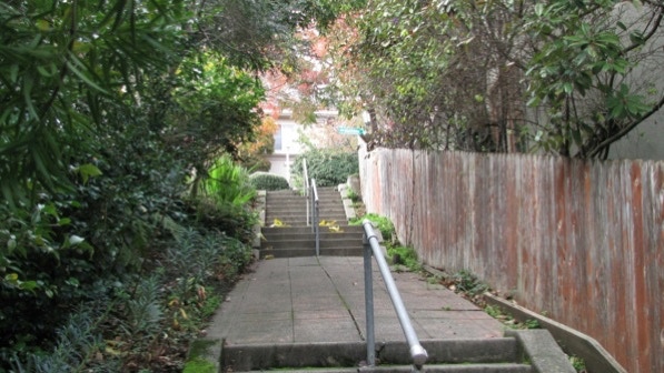
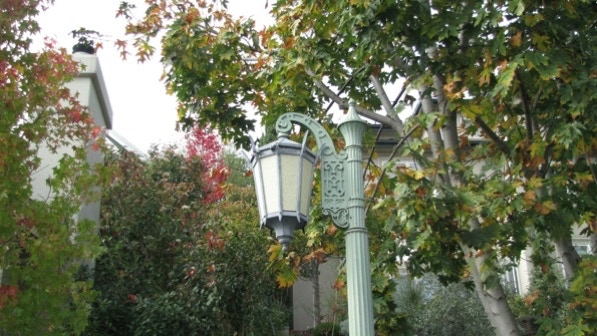
There is a discussion on page 187 about the light standards in the area. Here’s one at the first landing of Verona Steps, on Mathieu Avenue.
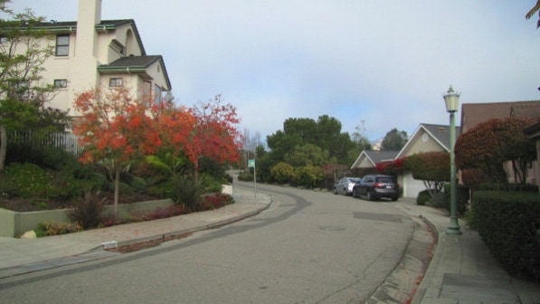
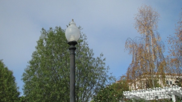
Up on Acacia Avenue, there is another type of light standard.
Further along, towards Ocean View Drive, there’s a third type of light standard.
A fourth style of lighting standard.
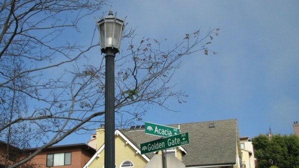
Here’s a close up of one of the light standards, at the corner of Acacia and Golden Gate Avenues. The route goes to the left, up Golden Gate.
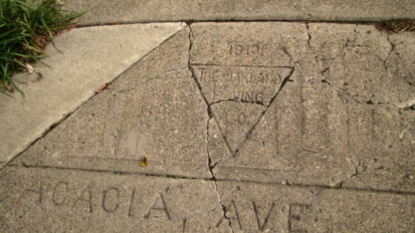
Look for this cement stamp at the corner! It’s from 1913, 99 years ago. The condition of the sidewalk could mean it won’t last long.
Up Golden Gate Avenue is the turn for Gondo Path and the way to Buena Vista Avenue.
Gondo Path is in good shape.
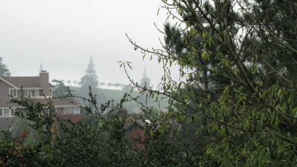
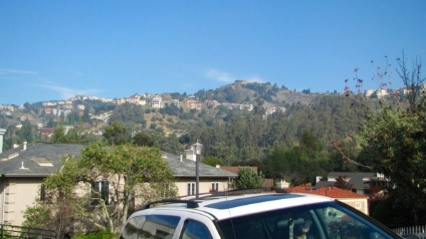
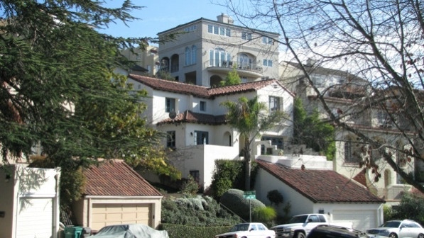
A the top of Gondo Path is a view towards Hiller Highlands, which also did not come out of the fire storm unscathed.
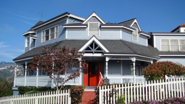
At the top of Gondo Path is the house at 5860 Buena Vista Avenue is the “proto–Victorian” mentioned on page 188.
Turrets occupy the corner with Contra Costa Road. The route goes up past the yellow No Outlet sign. The white house was built in 1996 and the large one up the hill was built in 1993. Neither looks like a McMansion.
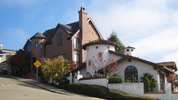
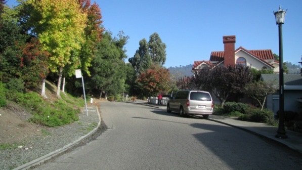
Up and around the corner, we are still on Contra Costa Road.
This is the view down Chaumont Path. The sun is coming out, but there is still fog over by the cemetery.
Here we are approaching Buena Vista Avenue.
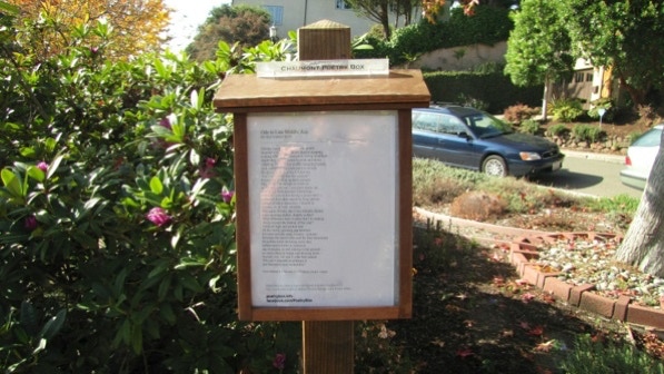
This is the Chaumont Poetry Box just across Buena Vista Avenue, at the top of the second segment of the Path.
At this point we are at the information pin on the map.
Down on Golden Gate Avenue, Belalap Path has a street sign over by the palm tree.
A view up the staircase.
This is the bottom end of the second segment of Belalap Path (across Buena Vista Avenue).
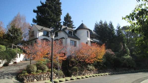
This is the house at 6116 Contra Costa Road with the “huge turreted tower” (page 189). It was built in 1999.
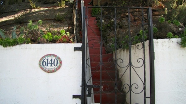
The address tile at 6140 informs us that this is the “side entrance.”
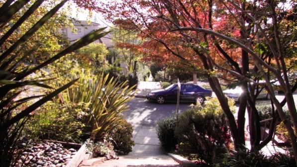
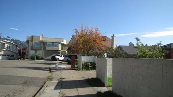
Not far along Contra Costa, across the street, the view opens up at a vacant lot. That is the camera pin on the map.
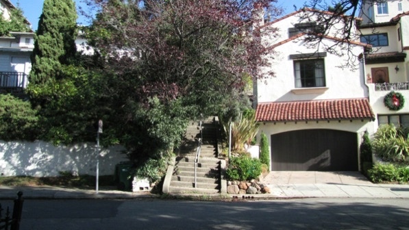
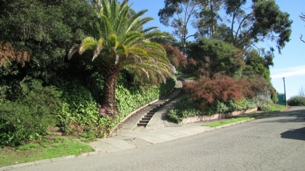
This is the staircase driveway at 6232 Contra Costa Road noted on page 186. We went past it early in the walk, but missed it as we were going in the other direction.
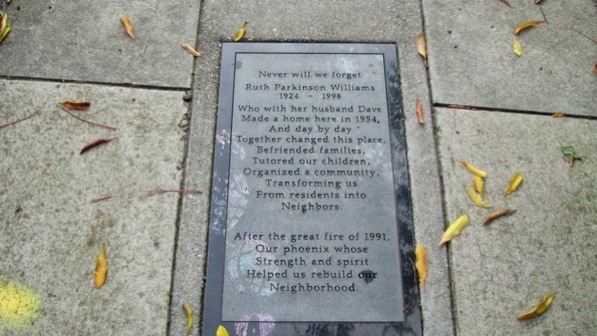
The memorial plaque of Ruth Parkinson Williams is ahead at the junction with Erba Path, and the route back to Broadway Terrace.
This is another good walk in a firestorm neighborhood. Some of the new houses are McMansions but others have a lot of character. The views to the west are remarkable.
The book reports 742 steps and 2.4 miles. According to Google maps, the distance is 2.0 miles.
Next—Montclair Village
