#30—Upper Rockridge West
Walk #30—Upper Rockridge West
Saturday, 24 November 2012
It was 59F and sunny at the start of the walk.
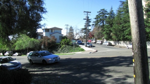
Here is the map of the walk (blue line). The starting point is the blue pin on the map.
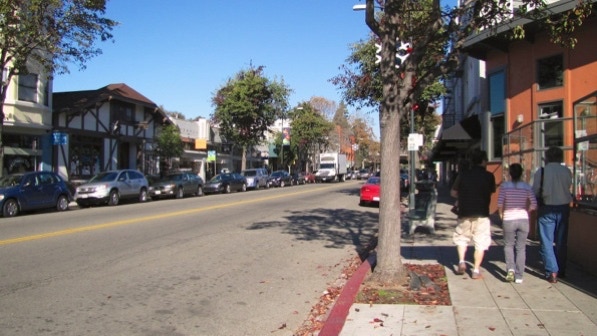
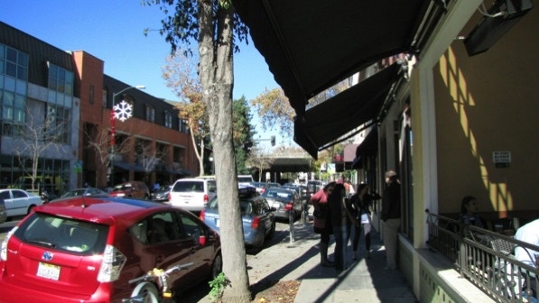
College Avenue in Rockridge has a lot of small shops. The half–timbered building across the street is The Hut. It’s a bar, brought over on a ferry after the conclusion of the 1915 Panama Pacific International Exhibition in San Francisco.
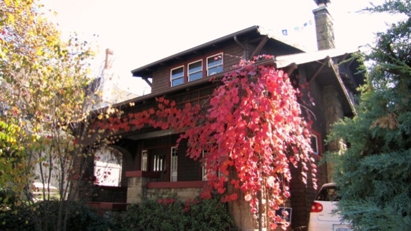
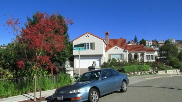
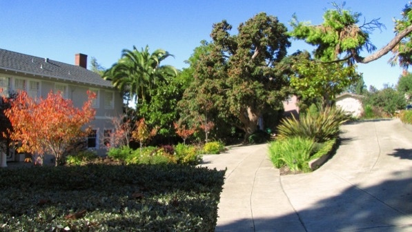
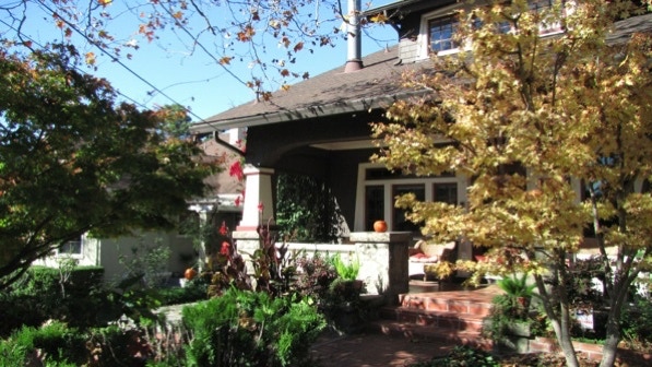
At 5537 Lawton Avenue we came across this vine and its beautiful color. This house is mentioned on page 179, and was built in 1910.
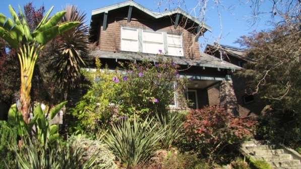
5533 Lawton is also in the book, but the plants out in front of it obscure the house.
This is 5566 Lawton, which has “clinker–brick touches.” Built in 1911, it also has a banana in the front yard.

5581 is mentioned in the book. This is probably that house; the houses on either side are 5577 and 5583. 5581 Lawton Avenue was built in 1910.
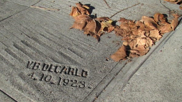
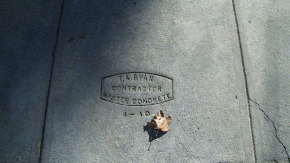
“A concrete stamp in the driveway at 5587 reads ‘V.B. DECARLO 4.10.1923,’ which gives you an idea of the age of this neighborhood.”
The houses are a decade older than the sidewalk!
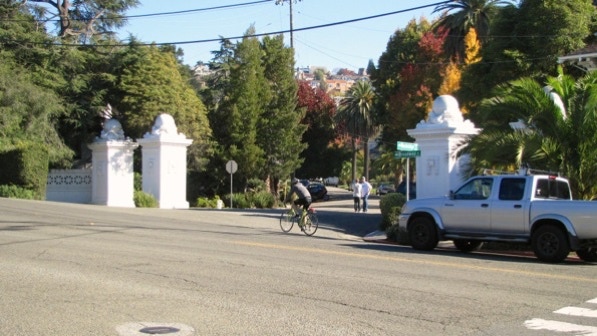
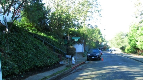
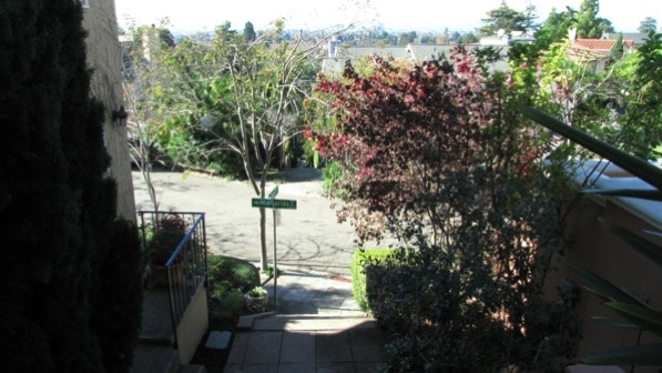
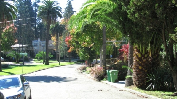
These are the “stately concrete and stone gates to Upper Rockridge” at the end of Lawton Avenue.
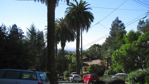
Caution: the speed limit on Broadway here is 35 miles per hour. Use the cross walk and do expect drivers to stop for you. Everywhere else in Berkeley or north Oakland, they will. Curiously, not here.
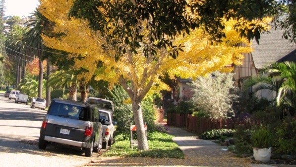
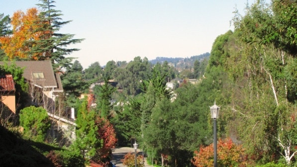
Several of the palm trees on Rockridge Boulevard, mentioned on page 180, are in the background in this photo. The tree turning color is pretty.
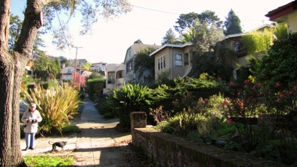
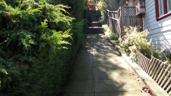
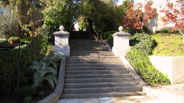
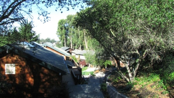
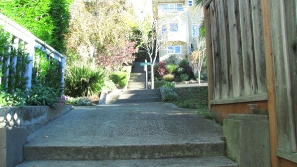
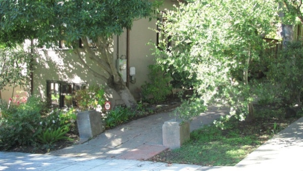
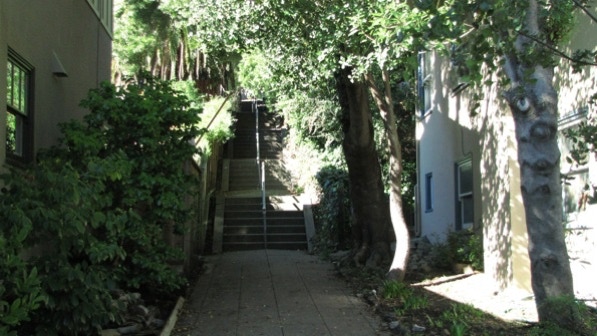
The book is right, the first staircase is almost hidden. It is to the right of the dog and the woman in this photo.
Up we went to Margarido Drive.
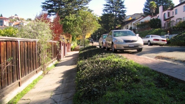
The sidewalk and the street are separated here.
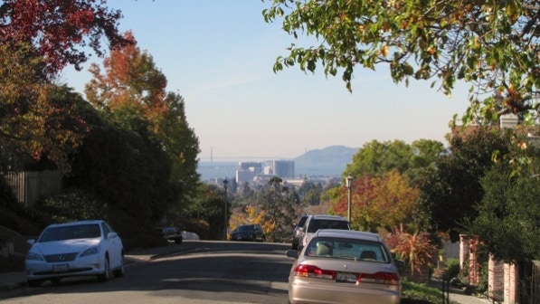
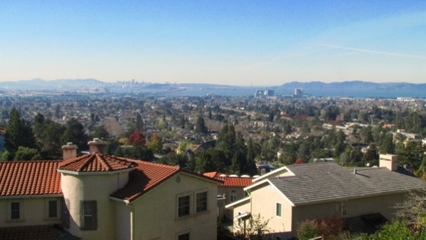
Looking back down Margarido Drive, there is a view of Emeryville and the Golden Gate Bridge.
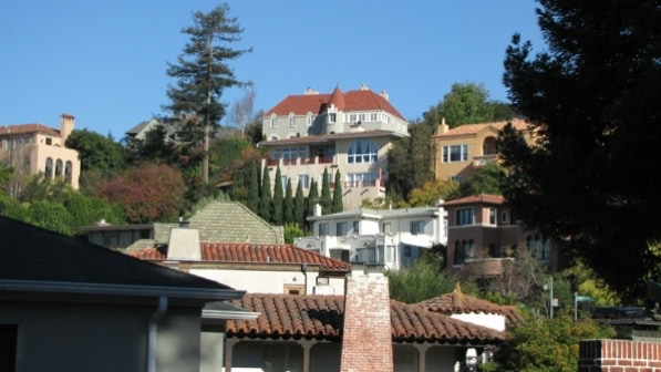
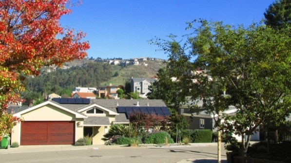
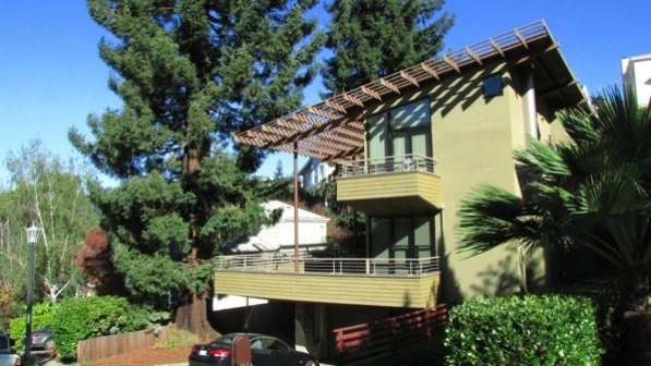
These are some of the McMansions on the hillside mentioned on page 180.
The turn for Quail Lane is easy to see.

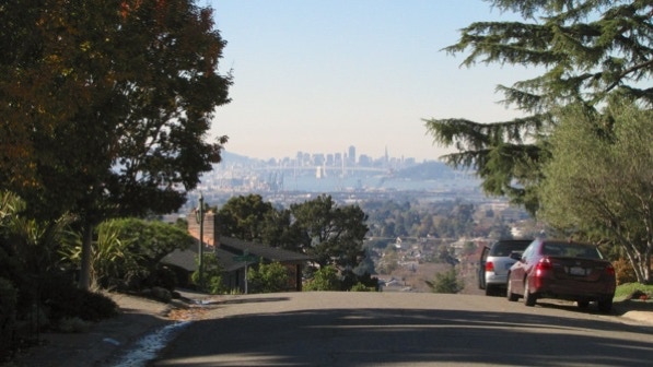
At the top of Quail Lane we are on Acacia Avenue, and at the red pin on the map.
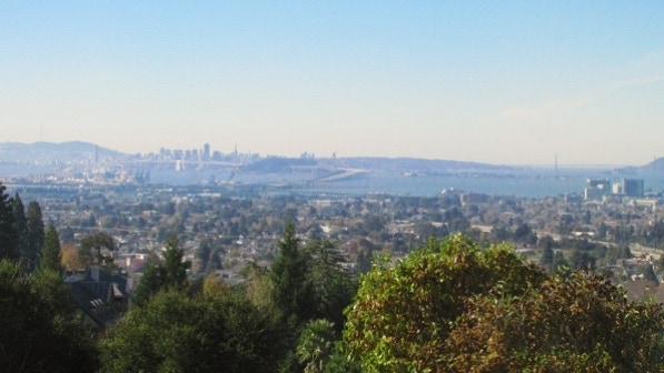
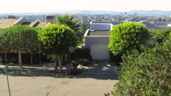
Another view across the Bay to San Francisco.
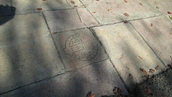
This is the July 1935 cement stamp on the driveway at 6000 Acacia Avenue (page 180). Note that the house at 6000 was built in 1933. Next door at 6006, the previous house must have perished in the fire storm, because the house there was built in 1995.
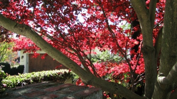
This tree at 6119 Acacia Avenue has a lot of color!
This is one of the firestorm replacement houses. It does not have the same design style as the older houses. The lot next door has remained vacant since the fire. The view is south towards the Mountain View Cemetery.
Still on Acacia Avenue, we walked past Verona Path, as recommended on page 180. The segment of Locarno Path to take is on the other side of the street from its sign.
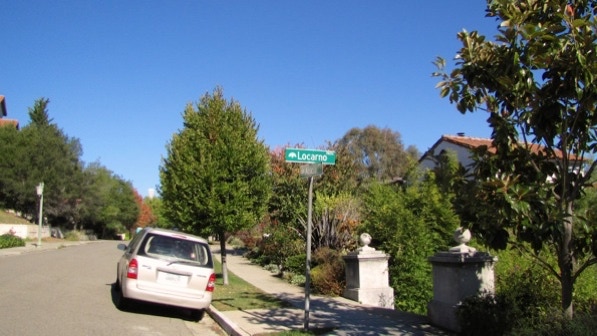
We turned left, and went up Locarno Path, by the artichokes.
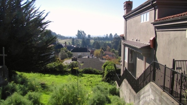
At the top of Locarno Path is the “cul–de–sac end of Alpine Terrace. The vacant lots mentioned on page 181 are still there and the views are good.
It’s curious why the lots have stayed undeveloped since the 1991 firestorm.
The view.
This house at #140 is not in the book, but it shows that some who rebuilt did so with flair.
We are now at the camera pin on the map.
The book informs us that we are at the highest point in Rockridge. We’re not sure, but it’s close enough.
Here are a couple of other firestorm rebuilds on Manchester Drive. The photo was taken looking down from another vacant lot.
Down at the intersection with Ocean View Drive, we turned right. We missed
“The Istana” (page 181).
6183 Ocean View Drive is an interesting looking home (page 181).
Across the street is Brookside Lane, which goes down to Brookside Avenue.
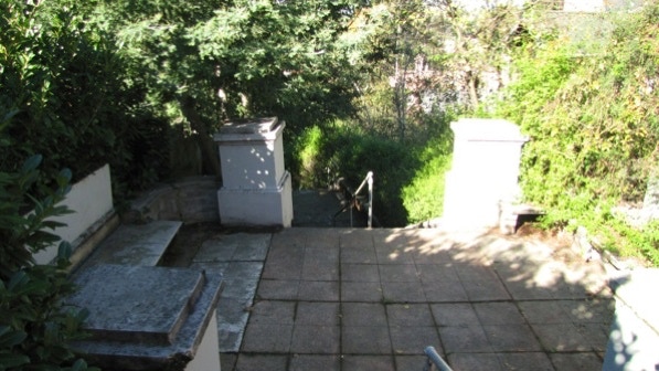
“This is a charming walkway, dropping through a series of landings—the middle one fitted with stone benches....”
This is the view down Brookside Avenue.
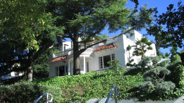
This is the “stately old lone redwood tree” at 6376 Brookside (page 181). The house was built in 2007.
Here is a part of College Preparatory School mentioned on page 181. We are at the green school building pin on the map.
Here is the left turn up Claremont Path, which goes up to Ocean View Drive.
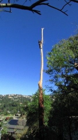
A large tree was being cut down the day we walked by.
This particular walk features fountains like this one at 6126, corner of Manchester Drive. The house was built in 1924.

This photo shows iron work at 6138 (page 182). The house was built in 1994.
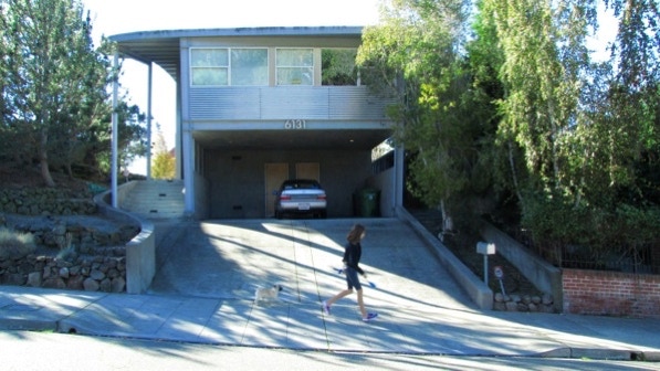
6131 Ocean View Drive (built in 1992) is interesting.
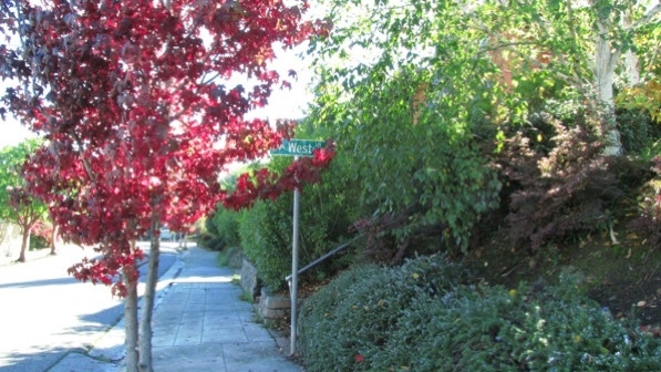
West Lane is just past the tree turning color.
There are great views from West Lane. Here is the end of West Lane, on Manchester. We’ve seen the woman with the dog before.
Continuing across Manchester, we started down Prospect Steps. There’s one of the McMansions we saw earlier in the walk from Margarido Drive.
Down on Margarido Drive, we turned left and went down the street.
There is a dog–themed house at the bottom of Prospect Steps.
We went to the left at the base of Prospect Steps, along Margarido. The sidewalk is separated from the road along the route.
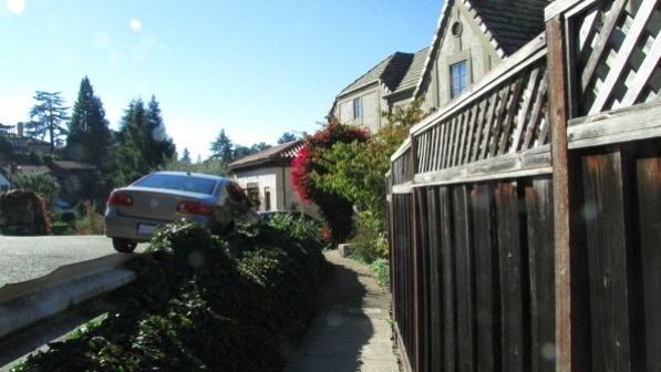
Keeping to the right, we walked along Rockridge Boulevard South. The houses have small front yards. This one at 6184 (built in 1995) has room for an olive tree.
6172 (built in 1930) has both a turret and a stained glass window.
The bottom of Prospect Steps has a sign, which apparently was not there when Charles Fleming was here. If the sign disappears, look for the palm tree.
The introduction to this chapter says “this is a fairly rigorous walk” and right about now we couldn’t agree more!
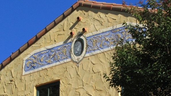
The house on the right has a fresco. It’s address is 6140 Rockridge Boulevard South, but the only access is up the Steps.
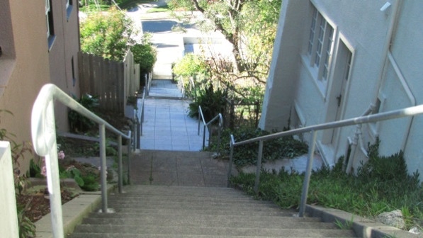
Further up the Steps we passed garages for houses up on Margarido Drive.
We’re back on Margarido. We had come down the upper segment of Prospect Steps a few minutes ago.
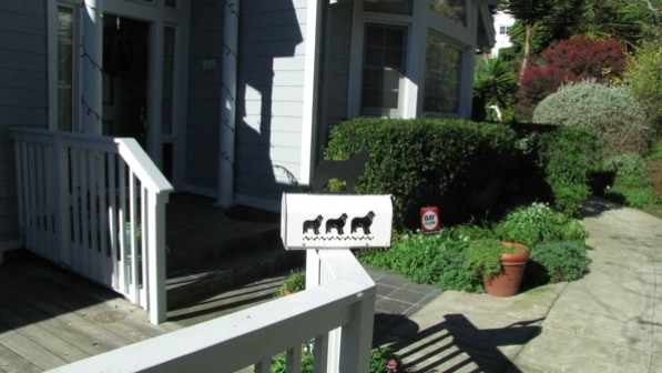
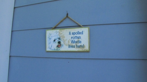
Turning left we saw the dogs on the mail box again. The same house had another dog sign.
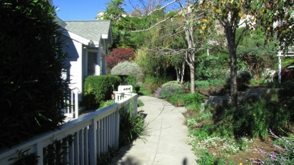
The sidewalk in this area is attractively landscaped.
6017 Margarido Drive has a house that survived the fire storm. It was built in 1906.
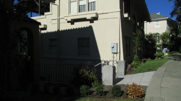
The left turn down Margarido Steps is marked by two concrete posts and the electricity meter on the side of the house.
We are at the yellow push pin on the map.
Before decending, take a look across Margarido for the house that has a portico like the White House. It was built in 1935.
Down we went, towards Rockridge Boulevard North.
These are the “line of very old palm trees” we passed earlier on the walk (page 183).
The bottom of Ridgeview Path is at the telephone pole in this picture.
Ridgeview Path has two concrete markers.
The steps go back up to Ocean View Drive. The book says this is the last time we will be on Ocean View, but that isn’t correct for our walk.
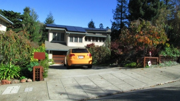
5933 Ocean View Drive was under construction or a vacant lot when the book was written (Google street view, April 2011). It has some design flair.

This is the intersection of Ocean View Drive and Broadway. There is no cross walk. If that intimidates, use the crosswalk up on Keith and walk back down a block. We’re going back to College Avenue on Ocean View Terrace because the freeway along Keith is uncomfortably noisy.
Up in the fire zone, the sidewalks are older than the houses. Down here, the houses are older than the sidewalks.
Except here, near the corner. This cement stamp is at 5885, and the house on that lot was built in 1940!
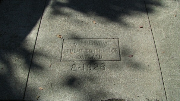
On the right side (north side) of the street, look out for this cement stamp from August 1928.
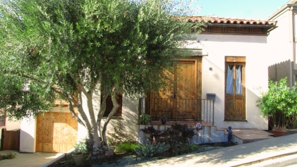
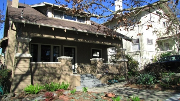
Here’s a nice looking home at 5840 Ocean View Drive. It was built in 1911.
These are not quite the same as the angled columns mentioned in Walk #21—Highland Hospital. But they are close in appearance. These angled columns are on many older homes in the area. This is the house at 5836; it also was built in 1911.
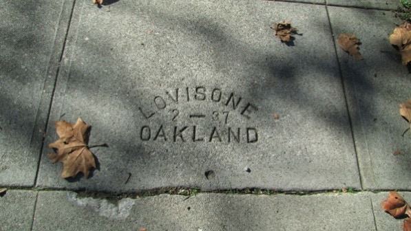
The cement stamp reads “Lovisone Oakland 2–37.” Most of the houses on Ocean View Drive between Broadway and College Avenue were built before the First World War (we think). What was here before, boardwalks?
This view looks down McMillan Street towards Keith Avenue, and the noisy freeway.
Here we just turned the corner onto College Avenue, looking up towards the freeway and the train station.
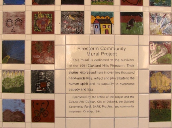
At the Bay Area Rapid Transit train station there is a wall of tiles. Here’s a sample.
This is a good walk walk in a neighborhood with a lot of houses built after the 1991 firestorm. The views are also worth the effort this walk takes.
The book reports 593 steps and 3.2 miles. According to Google maps, the distance is 2.8 miles.
Next—Upper Rockridge East