
#27—Trestle Glen and Crocker Highlands
Walk #27—Trestle Glen and Crocker Highlands
Sunday, 11 November 2012
It was 53F and mostly sunny at the start of the walk.
Here is the map of the walk (olive green line).
There is some overlap with Walk #26 (light red line on the map).
The starting point is the blue pin on the map. However, having done this walk before, a better starting place would be at the arrow and star pin. There are two reasons for suggesting an alternative. We’ll cover the more important one later on down the page. The other reason is that the block on Grosvenor Place doesn’t have a lot of visual appeal, due to the large Pacific Gas and Electric substation.

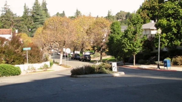
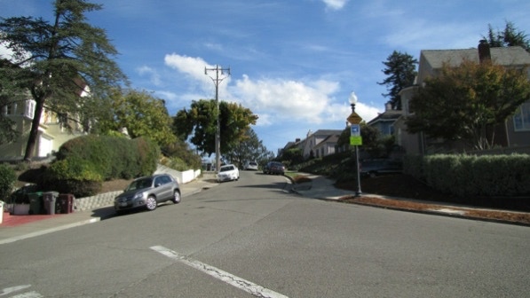
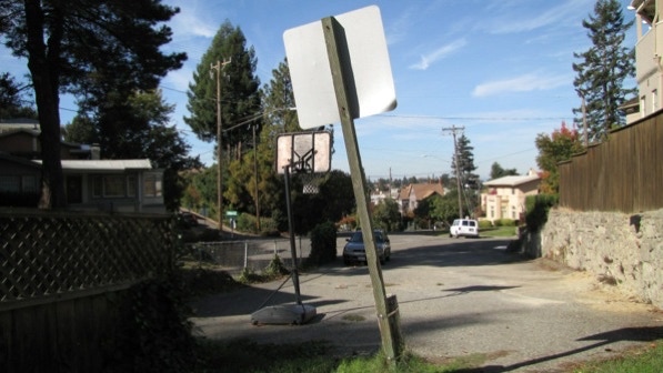
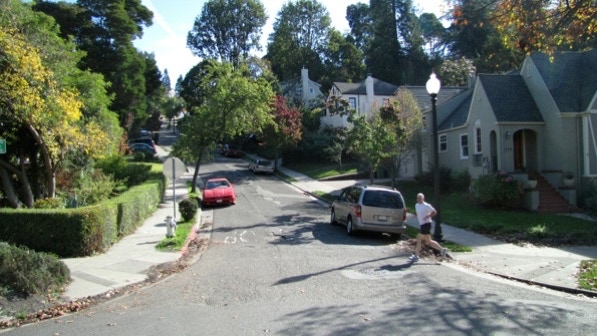
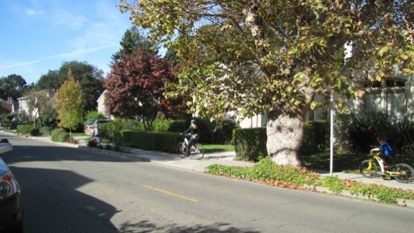
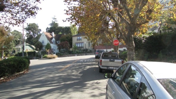
This is the traffic roundabout mentioned on page 161. This would make a good starting point.
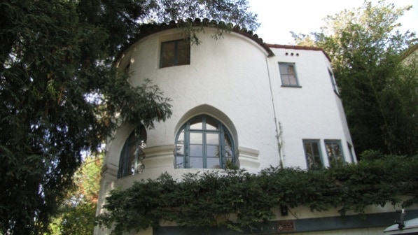
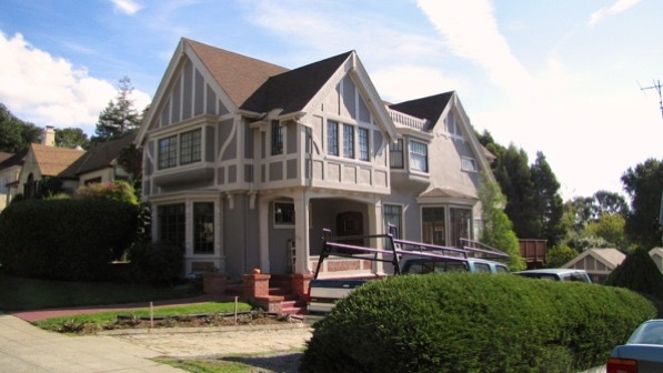
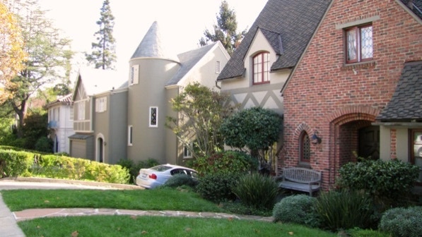
This is the “turreted round structure” at 953 Grosvenor Place (page 162). It was built in 1926, the same year as the “handsome half–timbered house” across the street.

950 Grosvenor Place, mentioned on page 162. Zillow.com has 1921 as the construction year.
The turn off to the first path is next to the street light. The shadows show it isn’t summer any longer.
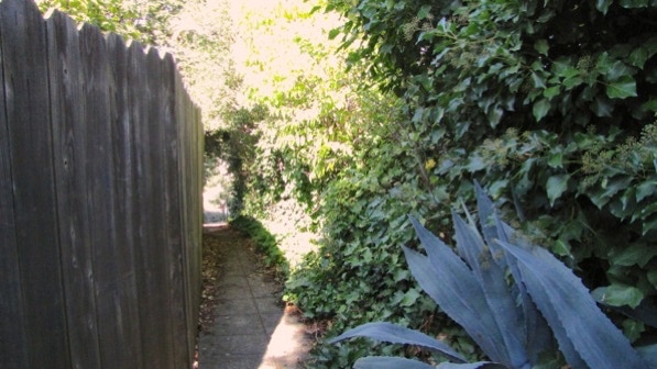
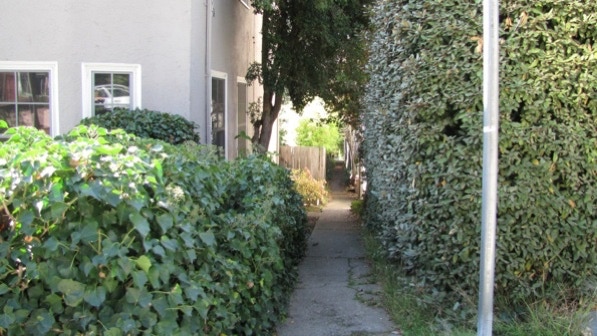
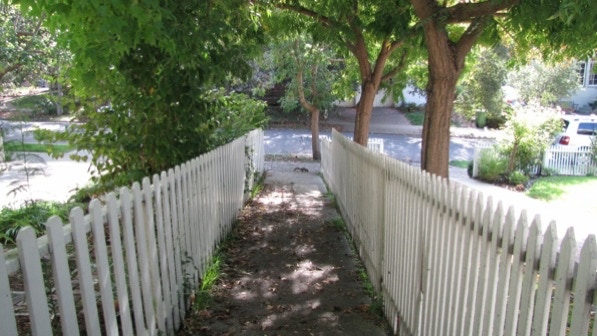
The path is narrow at the beginning.
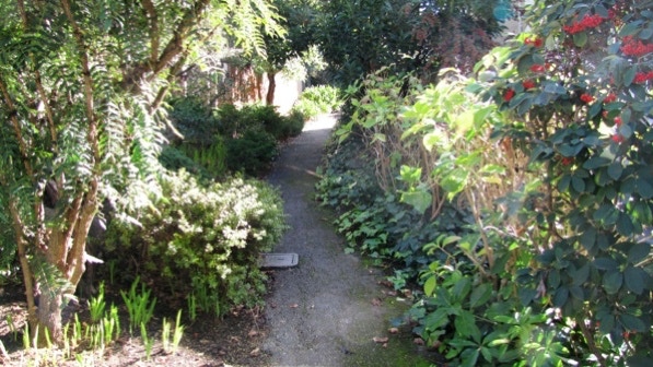
The end of the path looks like a private driveway. Without the book, we would not have thought this was a public path.
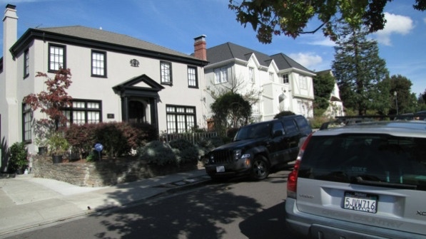
Here are two fine houses on Hubert Road. The one on the left was built in 1924. On the map we are at the yellow house pin.
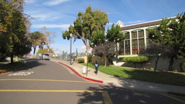
This is Crocker Highlands elementary school.
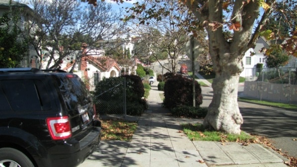
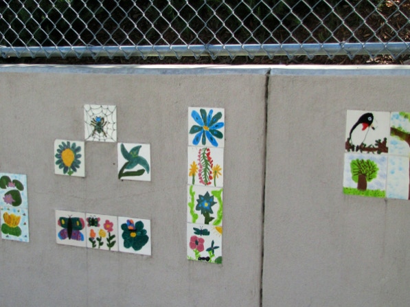
The entrance to the next path is at the fence, just past the large tree. Across the street there is a collection of colorful tiles.
A quick route deviation to take a look.
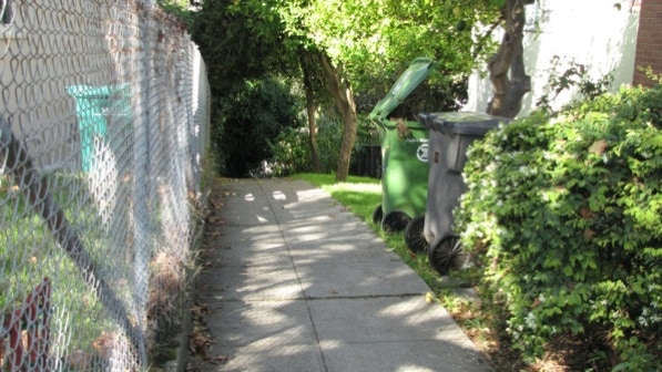
Back to the path.
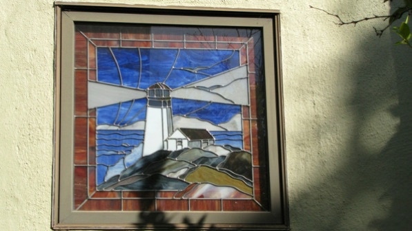
There is a stained glass with a maritime theme on the path.
The route is up this street.
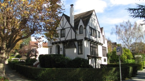
This is the recently painted “handsome half–timbered house at 1089” Clarendon Crescent, mentioned on page 162. It was built in 1911.
The next set of steps is up the sidewalk, to the left of the telephone pole and fire hydrant.
Just a few steps and a concrete ramp at the beginning.
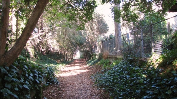
A bit later on, there is a lot of ivy.
At the end of the path, Ardmore Avenue is just across Mandana Boulevard.
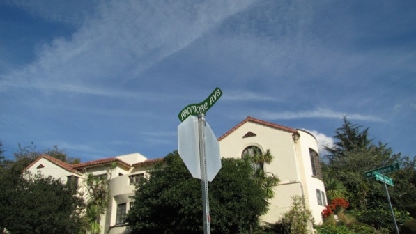
Ardmore Avenue “rises, falls and bends, and the sidewalk on the right–hand side of the street lifts high above the roadway” (page 162).
After turning onto Ashmount Avenue, we came to Portal Avenue and these two houses. The white job was built in 1930. The brick house on the left was built in 1934. The next path is to the left of the brick house.
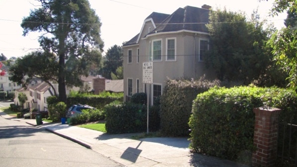
The pathway’s entrance is by the Notice to Dog Owners sign.
Ahead is a pathway intersection, according to the book (page 163).
We’ve been here before, on Walk #26. But we’re coming at this from a different direction. At this point, we turned to the right.
Easy going, but we have a hunch it would be muddy after a rain storm.
This is the path that has the other Notice to Dog Owners sign.
“Take a soft left onto Balfour (Avenue) and walk up a slight slope” (page 163). The slight slope is a helpful note.

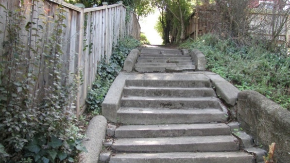
The next staircase, which goes up to Calmar Avenue, is just past this flight of steps (4128 Balfour Avenue).

“This one’s a mess—overgrown, with extremely uneven risers, and no handrail” (page 163). True, but it was not a difficult climb.
“Just before you arrive at the impressive palm tree growing at 815, find the steps going down on the right” (page 163).
These steps go down to Santa Ray Avenue.
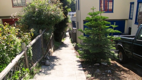
Across Santa Ray Avenue, the next staircase is between the Norfolk Pine and the low wooden fence.
This shows the top of the staircase.
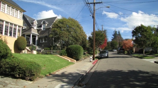
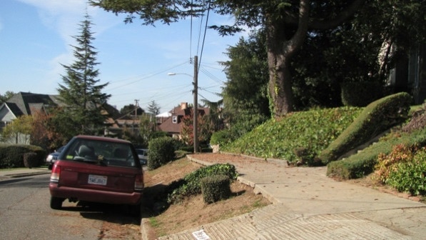
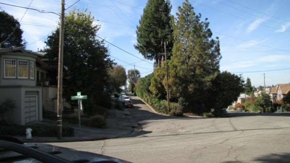
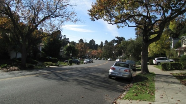
Mandana Boulevard is wide and leafy.
The book is right, Paloma Avenue is steep!
We are now at the two walkers pin on the map.
Along Longridge Road there are some nice houses. The brick one was built in 1934, and the one with the turret was built in 1928. The next staircase is still ahead.
The utility box marks the entrance to the staircase.

On the other side of Longridge Road is the large redwood tree we saw on Walk #26. This is the entrance of the staircase, which goes down to Sunnyhills Road.

Wildlife, down at the end of the staircase.
The description in the book at this point is a bit confusing (it could be the street signs are what’s not right). The proper direction is to turn right here.

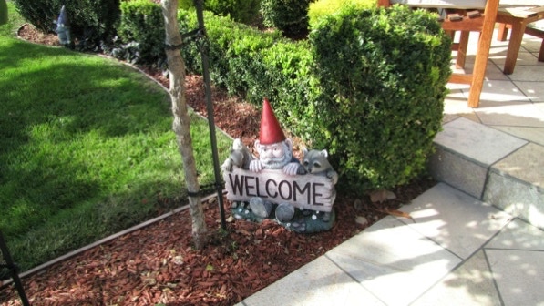
At the house #974 (it’s not clear if it is on Hillcroft Circle or Larkspur Road) look out for quite a few gnomes.
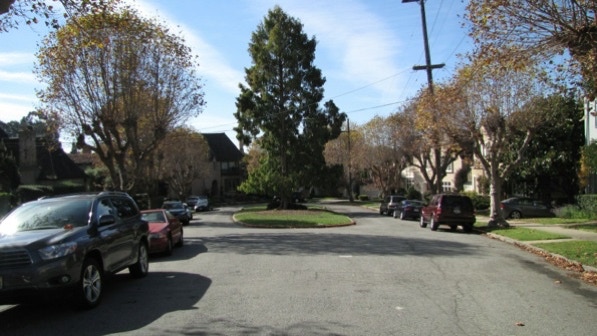
Ahead on Larkspur Road is “a wide traffic island filled with trees” (page 164). The traffic island is marked on the map with a tree pin.
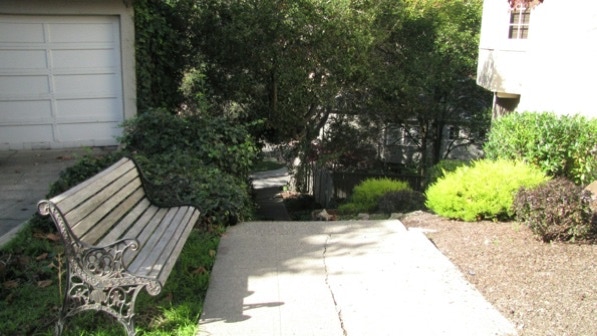
At the end of the road is a staircase down to Hillcroft Circle. The bench is mentioned in the book on page 164.
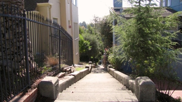
This is the “strange garden full of volcanic rock” at 877 Sunnyhills. We are at the flag pin on the map.
At the intersection of Trestle Glen Road, our alternative route would turn left (gray line on the map). However, we wanted to be as faithful to the book as we could, so we turned right, as instructed in the book. Look at the size of that tree trunk.
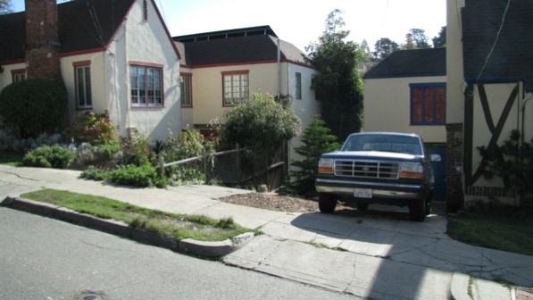
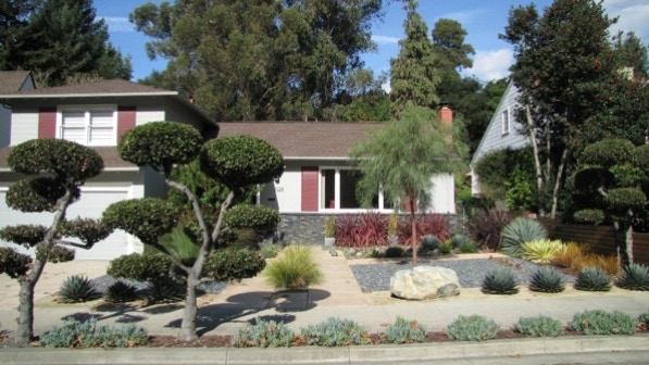
At 1028 Trestle Glen, the front yard is thrifty with water. The house was built in 1948.
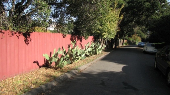
The turn onto Brookwood Road isn’t terribly inviting. The freeway is not far away.
A little over half way along Brookwood Road, the cactus look nice in the brilliant sun.
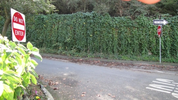
There is a sign saying the path up to Alma Place is closed. A look up the staircase confirms that it would be unwise to go past the sign.
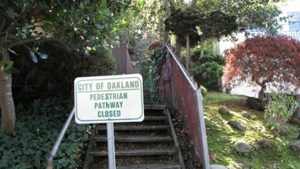
We are at the falling rock pin on the map.
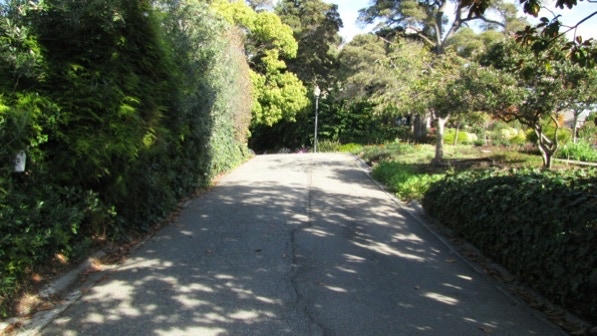
After Brookwood Road ends, we turned right onto Trestle Glen Road, and then right again onto Holmes Road. Soon we were back at the traffic circle at Grosvenor Place.
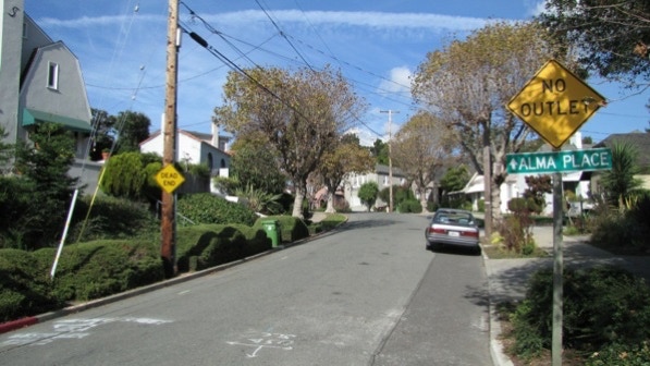
We walked past Alma Place on our way back to Park Boulevard.
This is another pleasant walk in a neighborhood with a lot of older homes.
The book reports 470 steps and 2.8 miles. According to Google maps, the distance is 3.0 miles.
Next—Upper Rockridge West.
