
#29—Upper Piedmont Park
Walk #29—Upper Piedmont Park
Saturday, 10 November 2012
It was 51F and sunny at the start of the walk. Two friends accompanied us today.
Here is the map of the walk (red line).
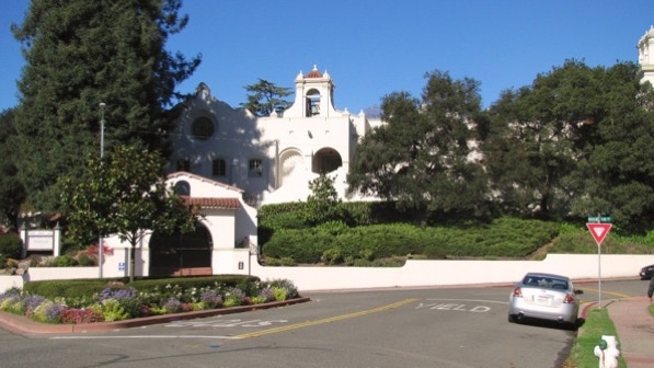
The starting point is the blue pin on the map. This photo looks away from the entrance to Piedmont Park & Exedra Plaza.
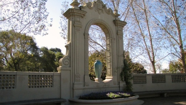
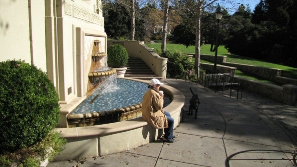
This is the large urn mentioned on page 173.
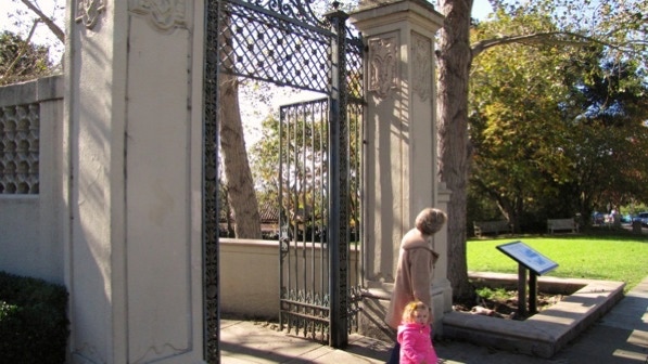
This is the gate to go through, to the right of the urn. The route is a curving path.

We went down the ramp and steps to a fountain.
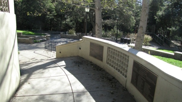
This is the fountain (page 173). The path of travel is to the right, from the middle of the fountain.
Then the route goes down these steps towards Bushy Dell Creek.
At the bottom of the stairs, the path goes to the left.
The park allows dogs to run off leash, and it seems to work well.
These are the six steps to take that are mentioned on page 174.

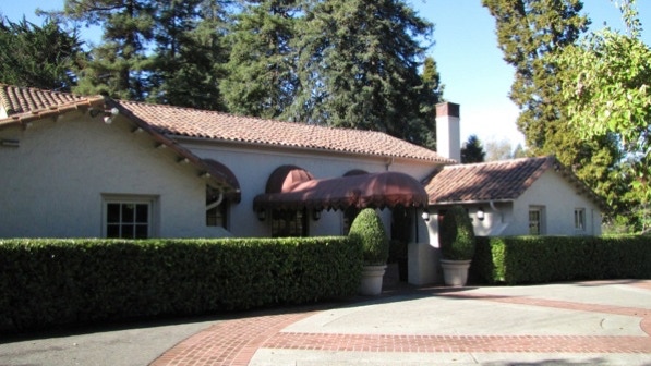
The directions in the book are confusing at this point. What we did is walk to the right and around the building. That worked, as it brought us to the front of the Piedmont Community Hall, also mentioned on page 174.
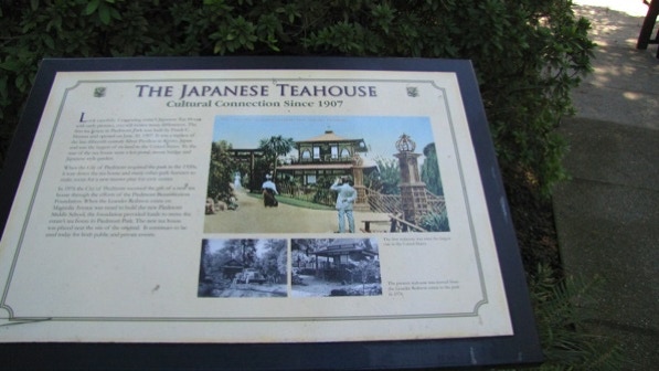
We decided to walk over to the Japanese tea house, which may be a modest route deviation. We are at the red triangle on the map.
This is typical of the displays we saw in the park on the Lower Piedmont Park walk.
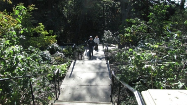
We walked along this path to the tea house.
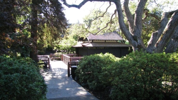
Past the tea house, we swung left on this great looking path.
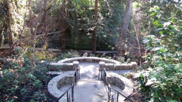
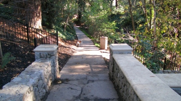
We aimed for the two dog walkers up at the top of the steps. We are fairly sure that’s in agreement with the book.
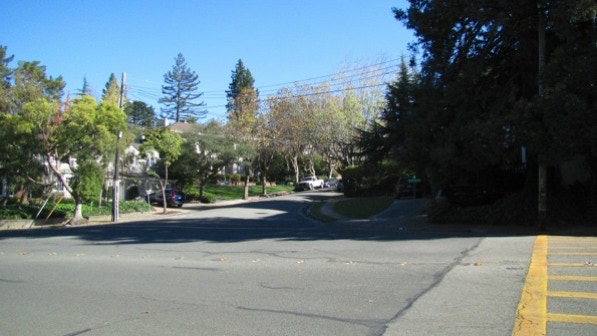
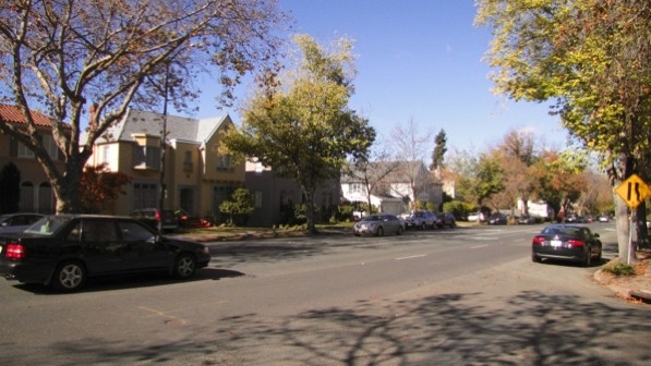
Now out of the park, using the crosswalk, we crossed Highland Avenue and went up Sierra Avenue.
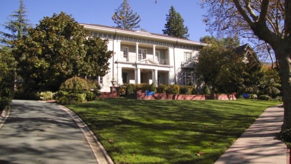
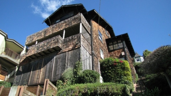
When we did this walk in September 2011, this house had a banner across it announcing to the world that the house was one hundred years old. This is the “Monticello–style” house mentioned on page 175.
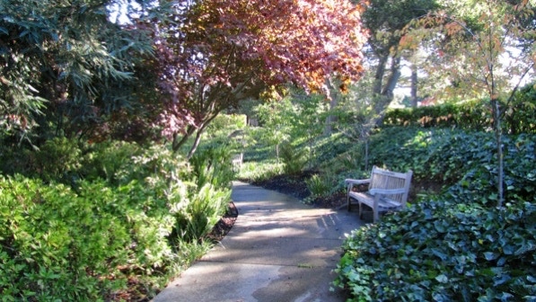
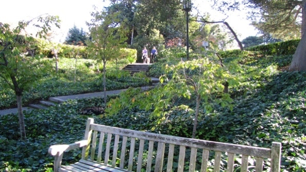
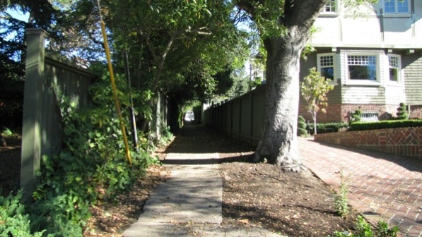
The book is right about the deep shade in the park. Here’s a look at the lush plant life.
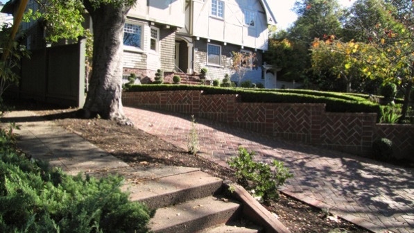
The left turn for the next set of steps is just before this decorative brick retaining wall.
This is the view up the path to Mountain Avenue.
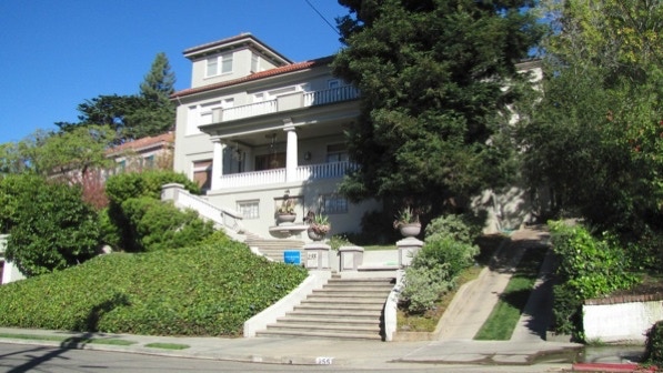
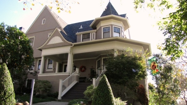
This is the “massive home fitted with wide porches at 255 Mountain Avenue” that is on the other end of the path.
We are now at the yellow pin on the map.
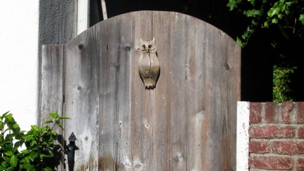
An artful gate not far up Sharon Avenue.
A bit more than half way up Sharon Avenue, on the left, we heard what sounded like a creek. The sound came from a fountain in front of this house at #21. It was built in 1927.
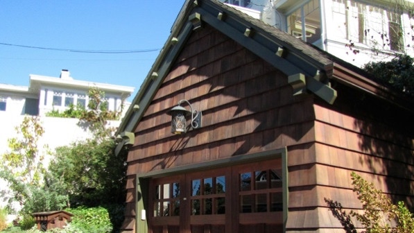
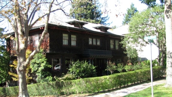
We turned right on Dormidera Avenue and then left onto Pacific Avenue. The book notes (on page 176) “a very stately brick and shingle Craftsman at 221, which has either been beautifully preserved or beautifully restored.”
Zillow.com reports the house was built in 1911. The garage is nicely restored as well; note the lamp.
Ahead is the staircase up to Blair Avenue. They look steep!
This area of Piedmont still has telephone poles and wires. The entrance to the staircase is to the left of the telephone pole (and today, the carpet of yellow leaves).
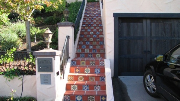
Just before getting to the staircase, though, are these great looking tiles at 205 Pacific Avenue.
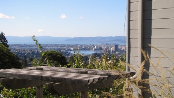
The staircase isn’t as steep as it looks, and the views are good.
Here is a view towards San Francisco Airport, across the Bay. Lake Merritt and the area of the Cleveland Cascades walk are in the center of the picture.
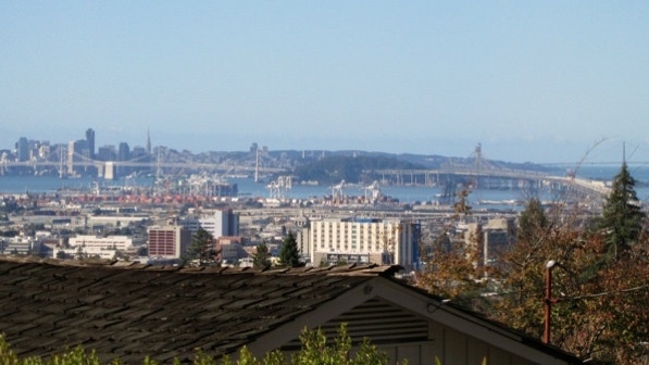
After turning left on Blair Avenue, the view from the street shows a part of the Golden Gate Bridge and the Bay Bridge.
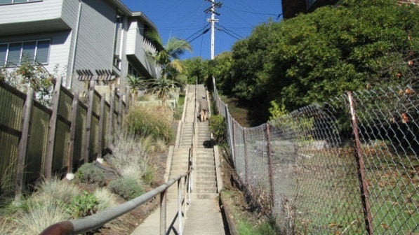
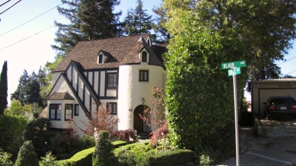
At the next corner (Scenic Avenue) is this house at #11. It was built in 1935. The next staircase is just past it, on the right side of Blair Avenue.
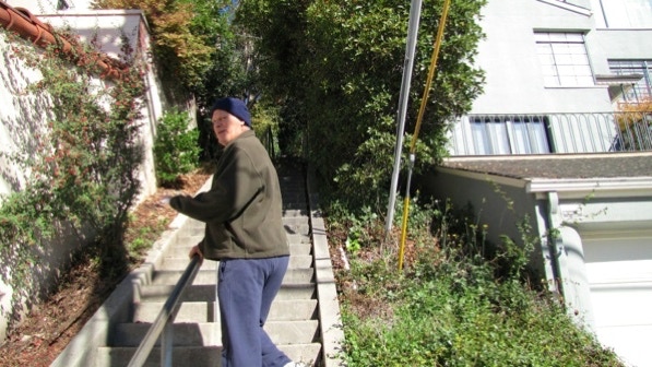
On page 176 the book says, “The bad news is that you have to climb...149 steps straight up, along a concrete staircase split by a steel handrail.” They do look challenging. This gentleman told us they were indeed steep.
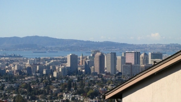
The book also reports the views return at the top of the staircase. This is downtown Oakland. On the map we are at the camera pin.
“At the charming traffic circle dead ahead, with a giant evergreen supporting not less than four children’s swings” (page 176) is the left turn for the next staircase. It is at the telephone pole.
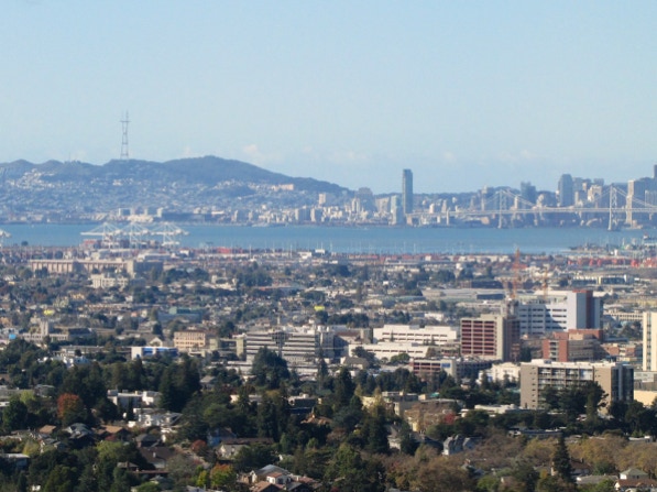
There is a view from this staircase. Sutro Tower in San Francisco (left of center in the distance) is mentioned in the book, “On winter afternoons you can watch the sun go down directly behind the Sutro Tower high atop San Francisco’s Twin Peaks.”
Pill Hill’s medical buildings are in the foreground. We walked through those on Walk #19, Broadway and Oak Glen Park.
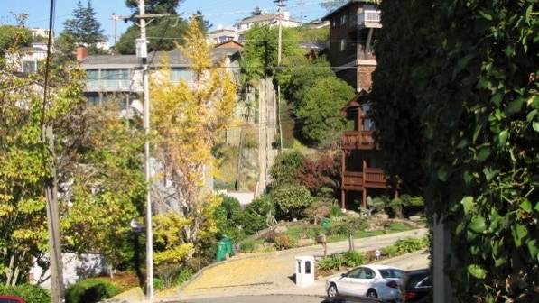
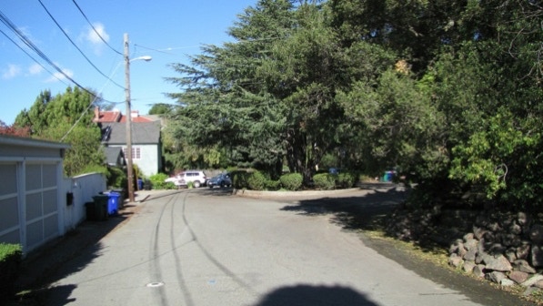
We dropped down the staircase from Scenic Avenue and landed on...Scenic Avenue. If you look at the map, you can see it loops down the hillside.
Not far after reaching this lower section of Scenic Avenue we came to #206, which is the site of a home of Jack London. Or perhaps it is the home. Both Zillow.com and Google maps are absolutely confused about addresses for this block, so we remain unsure. Anyway, here’s the house that is at #206.
On the map we are at the yellow house pin.
Page 177 also mentions “a big castle at 224.” Here is about all we could get into a photograph—the street is old and narrow.
A short distance along Scenic Avenue is the next staircase, on the left. It goes down to Pala Avenue.
Pala Avenue is leafy and quiet.

This is “fine Craftsman at the corner of Monte Avenue (page 177).” It was built in 1906.
We are now down on Highland Avenue again.
1900 Oakland Avenue is mentioned in the book on page 177. It was built in 1898. We are quite close to the starting point here.
We talked it over and decided to walk Trestle Glen and Crocker Highlands tomorrow. Today’s walk has great views of the Bay, and a challenging staircase. Plus a lot of nice looking, older homes.
Bus #11 stops right at the starting point. So does line P, but it only runs during commute hours from San Francisco Transbay Terminal.
The book reports 482 steps and 1.6 miles. According to Google maps, the distance is 1.6 miles.
Next—Trestle Glen and Crocker Highlands
