#28—Lower Piedmont Park
Walk #28—Lower Piedmont Park
Sunday, 4 November 2012
It was 68F and sunny at the start of the walk.
Here is the map of the walk (blue line).
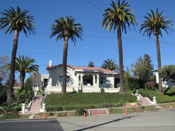
The starting point is the blue pin on the map, in Oakland. There are quite a few palm trees there. The route proceeds up Lakeshore Avenue, to the right in this picture.

More palm trees are near the starting point.
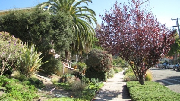
Portsmouth Walk is easy to spot—there is a rare middle–of–the–block crosswalk. The turn for the Walk is before the palm tree.

This prickly pear cactus has striking fruit.

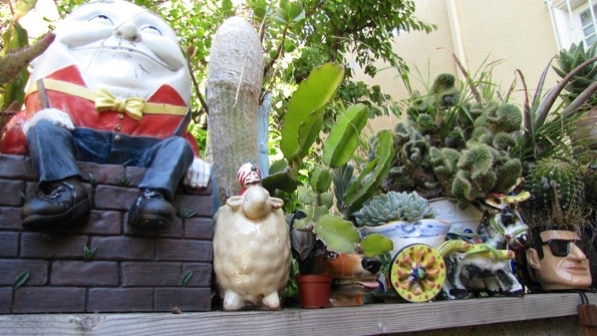
A resident living along Portsmouth Walk has put Humpty Dumpty on a wall.
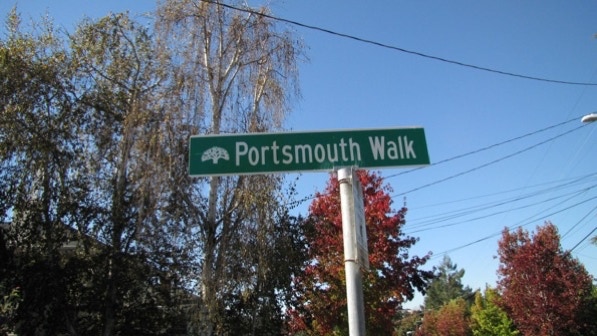
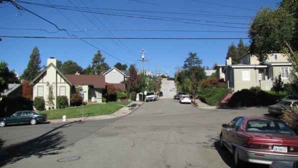
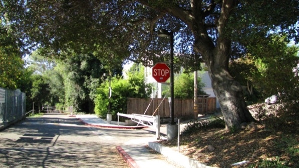
At the top of the Walk is an Oakland street sign. The boundary with Piedmont is just out in the street.
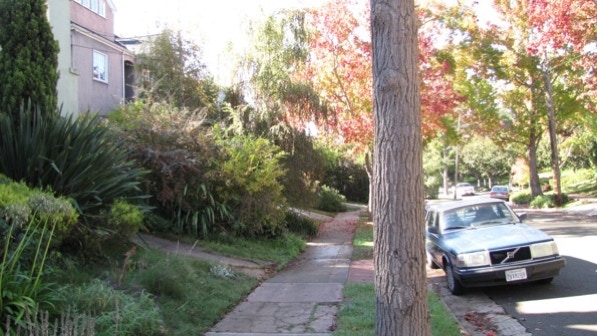
This view is looking up Portsmouth Road and the steep hill mentioned on page 169.
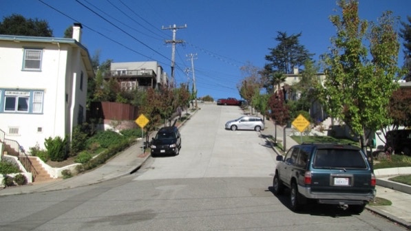
As the book says, ignore the signs that say “not a through street.” For walkers, it is open at the top.
At the top, we are at the red triangle pin on the map.
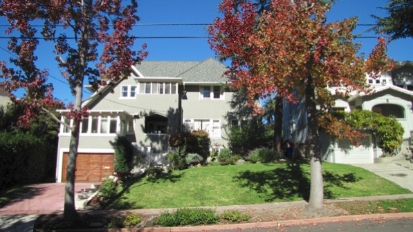
This is the “delightful cottage and grounds at 308 (Wildwood Avenue)” referenced on page 170. Zillow.com and Google maps do not show this house on their maps.
There is a nice palm tree next door.

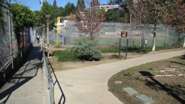
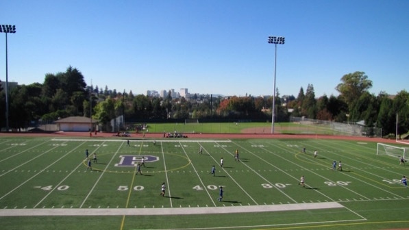
After we crossed the street, we could see the athletic field of Piedmont High School.
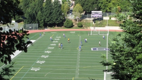
A quick route deviation to take a look.
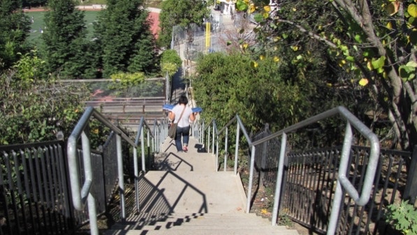
The next staircase goes down on the left, by the sign explaining the Living Maze (page 170).
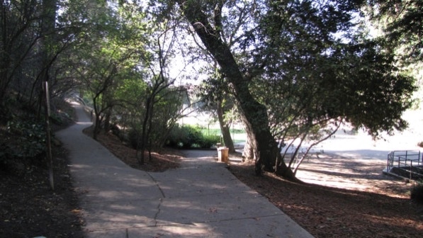
The staircase is in excellent condition, and gets a lot of use.
The route goes to the right here.
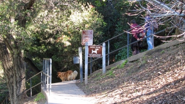
“Stay always to the left.” Here are dog walkers enjoying the off–leash rules.
The next sign is about Sulphur Springs (page 170).
This photo shows how the trail looks when the book says, “...where the railing ends and the trail hairpins back on itself back on itself, make a hard right turn...”
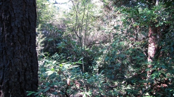
The giant eucalyptus trees in the park have bright white trunks. They blew out the camera, sadly. They are magnificent up close and personal.
Note that the map on this blog is approximately correct deep inside the park.
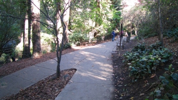
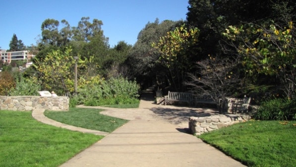
The book is right about the deep shade in the park. Here’s a look at the lush plant life.
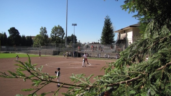
This is the “V” where the instruction is to bear to the right towards the baseball field (green arrow pin on the map).
Little League practice is going on, it looks like. In November!
Page 170: “Follow the road along as it rises passes an entrance to the football stadium....” Another look at the field.
The next turn is to the right, at the stop sign. We went up El Cerrito Avenue, but only for a short distance.
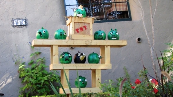
Before the turn onto Jerome Avenue, we came across this Halloween display of painted pumpkins. Quite nice.
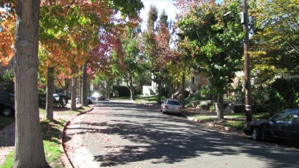
On Jerome, the book: “Descend this long, quiet block, shaded by good liquidambar trees” (page 171). The leaves are turning color, slowly.
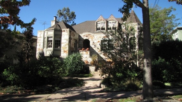
There is some short zigging and zagging, and then we arrived at Arbor Drive. At 135 Arbor Drive, there is an interesting house, built in 1928. On the map, it’s marked by the yellow house pin.
The left turn for the next staircase is marked here by an arrow.

Another marker of the staircase: across the street from the entrance is a gray house, built in 1921.
Back on Magnolia Avenue, we looked for the “ancient, handsome Hudson” (page 171) but did not see it. A check of Google maps street view doesn’t show the car, either.
The turn for the next staircase is to the right, before the house with the tile roof.
Here’s how things look at the top of the staircase.
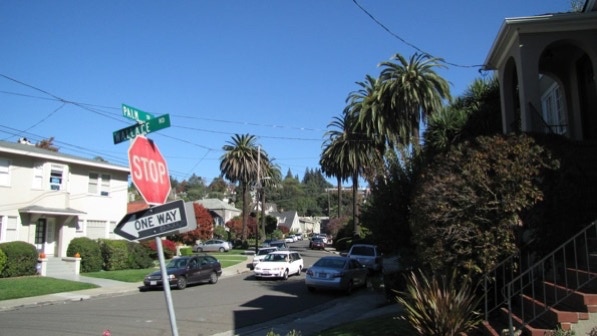
The intersection of Palm Drive and Wallace Road is at the bottom of the staircase. There are more palm trees on Palm Drive.
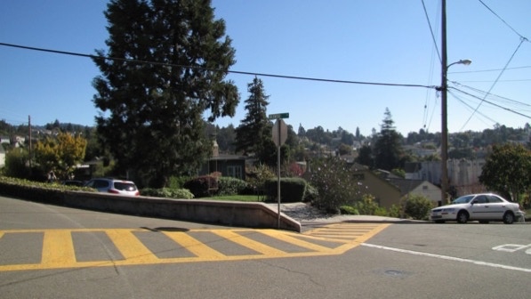
At the top of Wallace Road is the intersection of the 4 W’s (Wallace, Winsor, Wildwood and Warfield). That’s on page 171. We are at the red pin on the map.
The route turns to the left, beyond the concrete median.
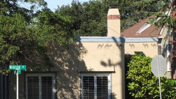
However, before crossing the intersection, look back to see the camels.
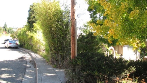
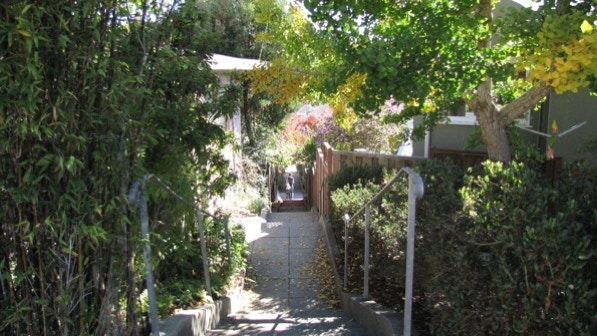
The next staircase is only one house down Wildwood Avenue. The turn to the right is past the telephone pole and before the bamboo.
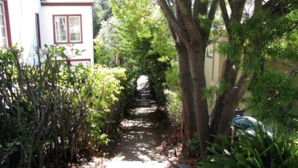
This is an interesting path. Half way down, on the right, is an unnamed street. It is the garage access for houses on Winsor Avenue and Ranleigh Way. The upper end is in Piedmont and the lower end is in Oakland.
Here is the map again, where you can see the unnamed street.
We talked it over and decided to walk Trestle Glen and Crocker Highlands later on, because there is a good bit of overlap with Trestle Glen and Lakeshore Highlands. As a result, we are going on to the next walk, Lower Piedmont Park, which has a lot of palm trees. Keep your eyes open!
The book reports 176 steps and 1.8 miles. According to Google maps, the distance is 1.9 miles.
Next—Upper Piedmont Park