
#26—Trestle Glen and Lakeshore Highlands
Walk #26—Trestle Glen and Lakeshore Highlands
Saturday, 3 November 2012
It was 60F and sunny at the start of the walk.
Here is the map of the walk (red line).
There is some overlap with Walk #27 (olive green lines on the map).
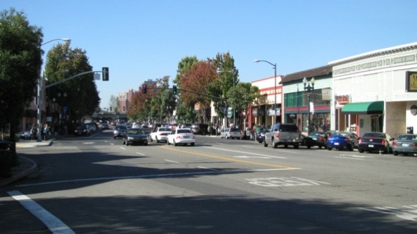
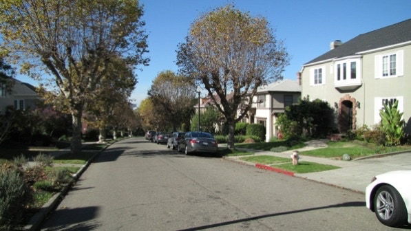
The starting point is the blue pin on the map. Lakeshore Avenue is a busy shopping street.
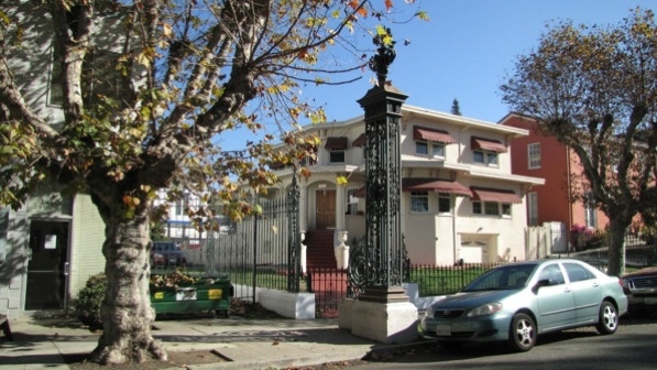
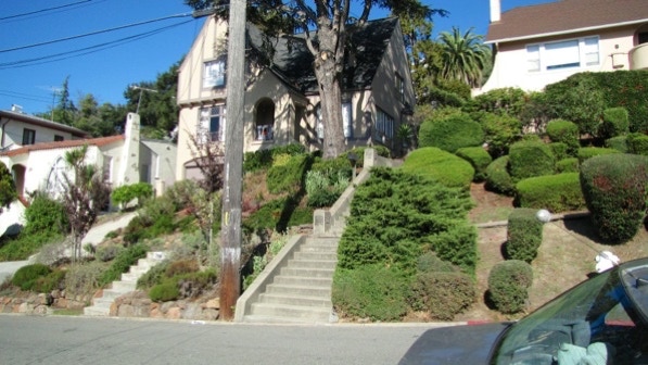
This is one of the “iron gates that mark the beginning of the historic Lakeside Highlands development” (page 155). The house has the “exaggerated porch” noted on page 156.
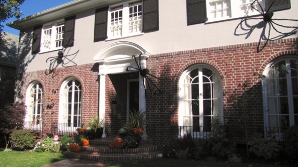
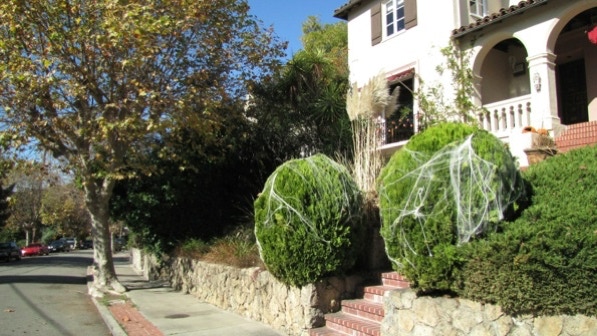
Halloween is now over, but the decorations are still on display.

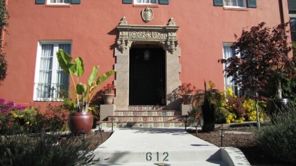
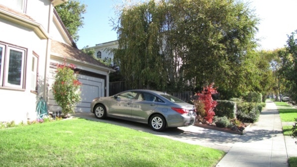
612 Longridge Road (built in 1925) has a nice entryway.
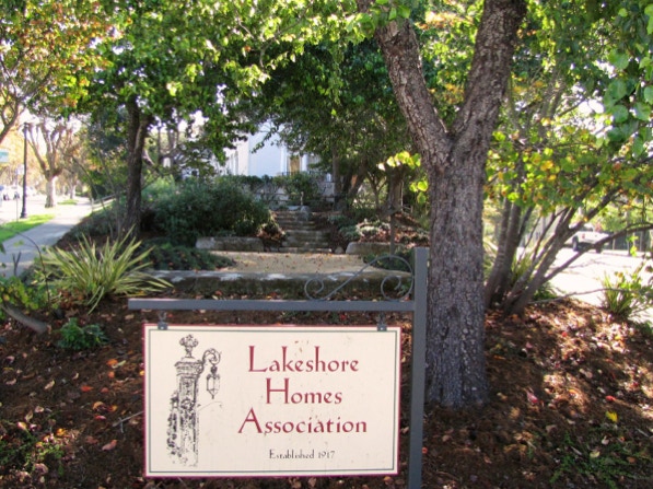
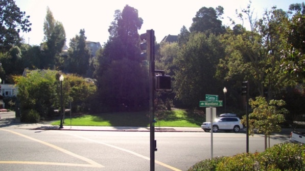
This is the “little triangular park” with a historical display mentioned on page 156.
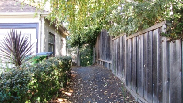
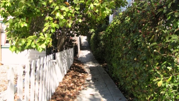
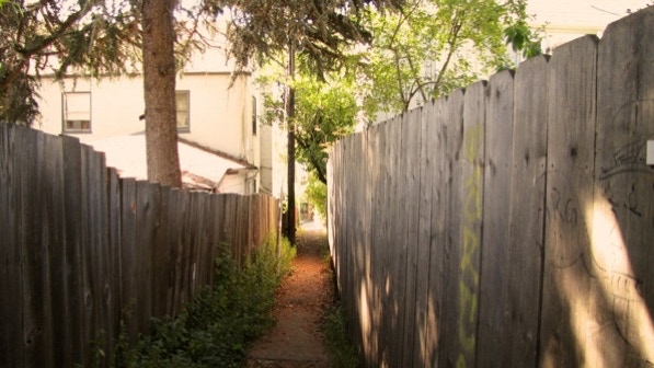
The entrance to the first path is across the street. It goes to the left, just before the large tree in this picture.
The path runs along this wooden fence.
Turning onto the Oak Grove Greenway, we came upon an impediment, which we worked our way around.

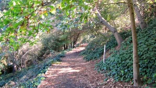
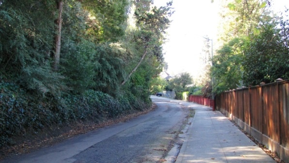
The path runs parallel to Longridge Road and Mandana Avenue, but between them.
At the end of the path, we went down Paloma Avenue and turned right onto Mandana Avenue. The entrance to the next path is marked by an AC Transit stop for line 606. We are at the bus pin on the map.
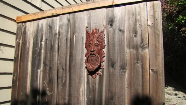
Art on the path.
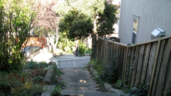
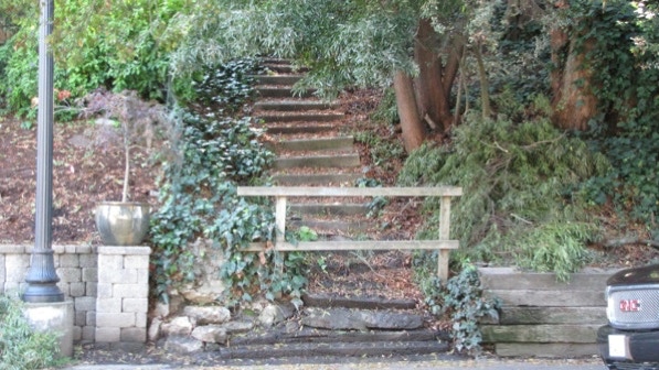
This is the bottom of the staircase on Santa Ray Avenue.
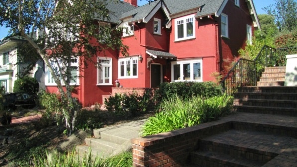
At the top, we turned left onto Calmar Avenue. This is the “oxblood red” house noted on page 157; it was built in 1918. We are at the red pin on the map. The next stairway is in this photo, just before the red house.
These are the “uneven concrete steps” that land on Balfour Avenue (page 157).
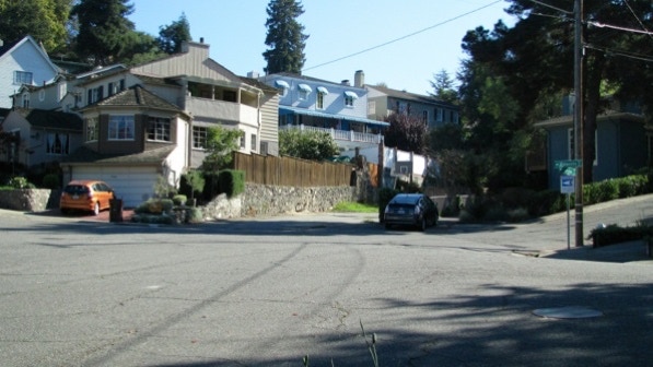
We walked up to Walavista Avenue, and are now at “the complicated intersection where Walavista meets Balfour and Carlston Avenues” (page 157). The correct direction to walk is in the middle of this photograph.
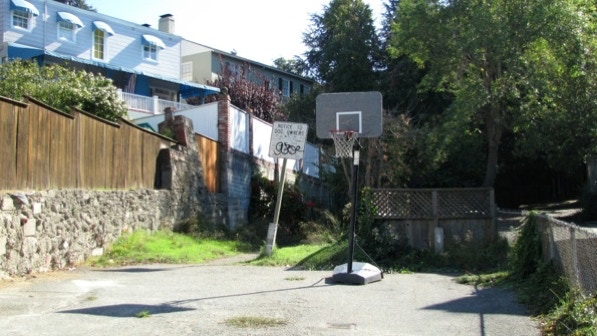
The first time we walked here, we went up a private driveway by mistake. Walk to the left of the Notice to Dog Owners sign.
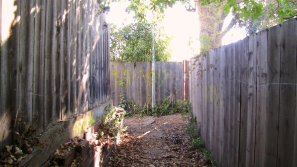
Eventually the trail narrows and ends in the T mentioned in the book. The photo makes the trail look rugged, but it’s fine. At the T, we turned right.
This is the view after we turned right.
This is the intersection of Carlston Avenue and Mandana Boulevard. Slug Steps are on the other side of the park.
Slug Steps (falling rock pin on the map) are, as noted in the book, are closed.
So instead of struggling up Slug, we walked up Carlston Avenue (page 159).
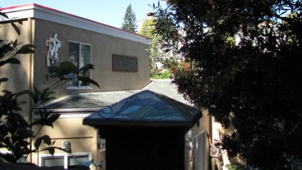
This house has some arty features.
At 649 Carlston Avenue (built 1929) is the house with the “fine tile work around the door” (page 159).

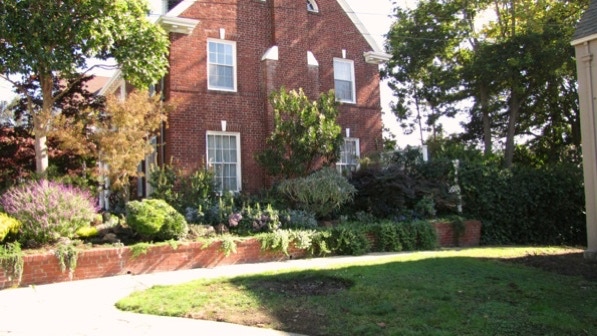
The next path is just before the large brick house.
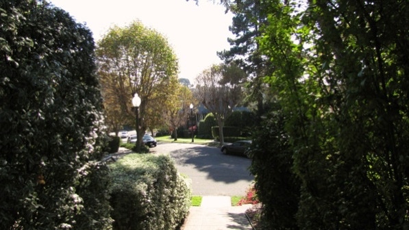
That’s Longridge Road in front of us.
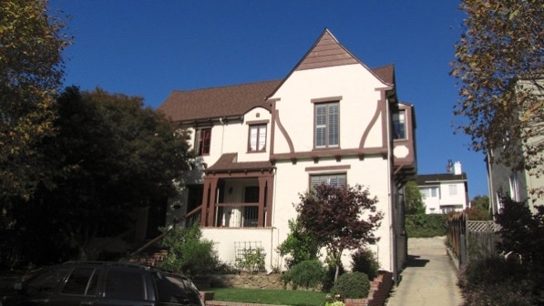
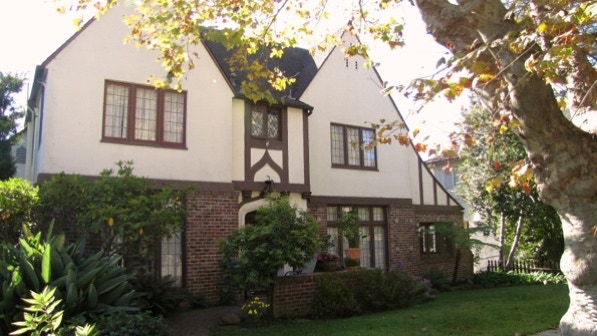
These are the two “almost–twin Tudors” noted on page 159. The first one (built 1929) is at #984, which is the yellow house pin on the map.
The second house (#987) was built in 1935.
This is the “fine, massive redwood” across the street from the next path (page 159).
This photo looks back down the stairs from the top of Sterling Path.
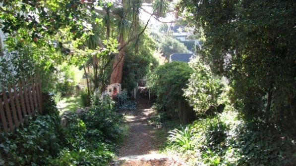
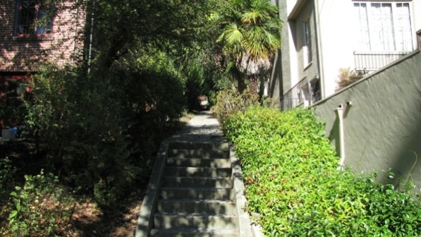
The path is pleasant.
The path ends on Sunnyhills Road.
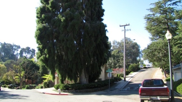
The route goes to the left of this big tree (corner of Rosemount Road).
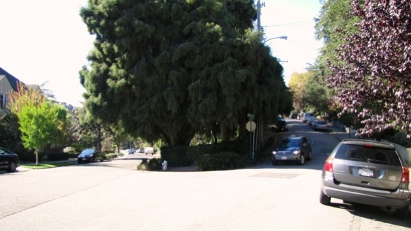
A bit farther along, the route goes to the right of this big tree, up Northvale Road.
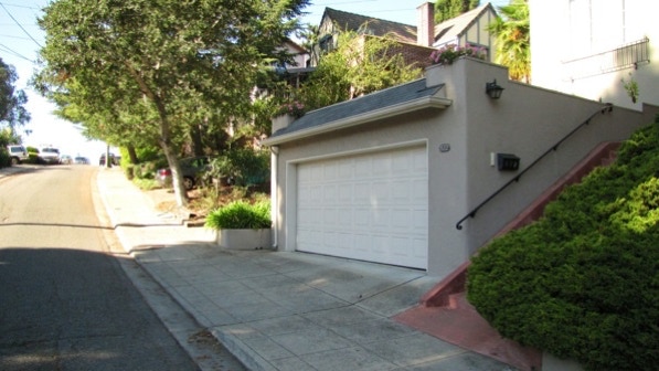
The next staircase is close, just past this prominent garage door.
Up we walked, back to Rosemount Road.
Look out for another prominent garage door.

The garage door is marked by the fish pin on the map.
The last staircase is on the right, just past this house.
At the top of the staircase, we turned left and walked along Longridge Road, back towards the starting point.
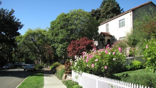
This is a pleasant walk in a neighborhood with a lot of older homes.
The book reports 429 steps and 3.5 miles. According to Google maps, the distance is 2.7 miles.
Next—Trestle Glen and Crocker Highlands.
