
#24 & #25—Oakmore & Trestle Glen and Piedmont
Walks #24 & #25—Oakmore & Trestle Glen and Piedmont
Sunday, 28 October 2012
It was a 68F and sunny at the start of the walk.
Here is a map of the walk (first pink, then light blue, then red). The blue pin is the start of the walk. Make sure to enlarge the map.
This is “old–timey Rocky’s Market” (page 147).
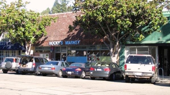
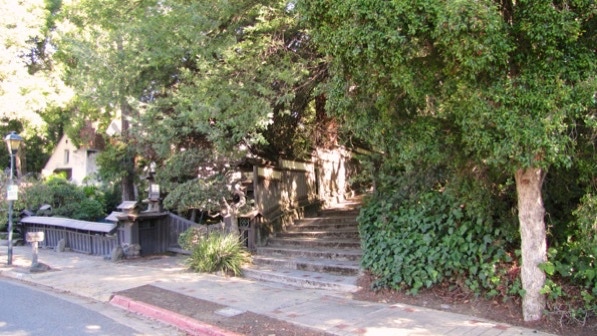
The first staircase is behind Rocky’s, around the corner on Arden Place.
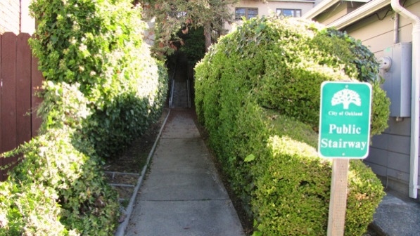
Here’s the view up the first staircase.
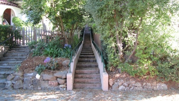
This is the bottom of the second staircase, on Bridgeview Drive.
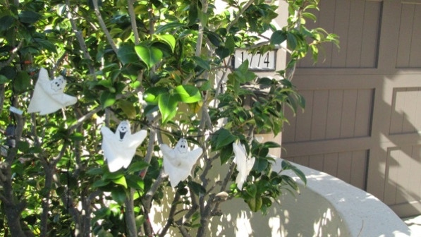
Halloween is in three days.
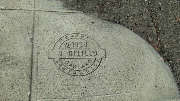
The concrete stamps on Leimert Boulevard (mentioned on page 148) are easy to spot, and in good condition. We did not see the one from 1938, though. There isn’t one proper nomenclature for these stamps: both cement and concrete are used.
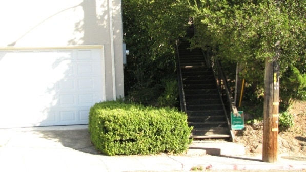
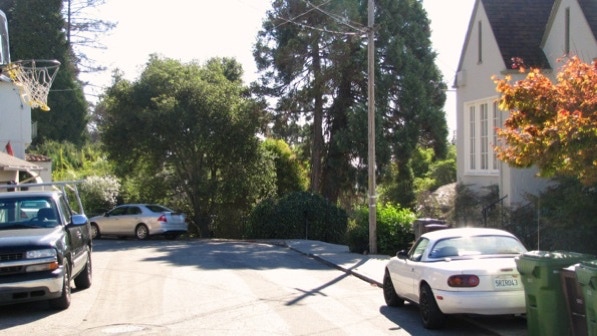
This is the view down Leimert Boulevard. The next staircase is by the utility pole left of center.

This staircase is made of wood, as noted on page 148.
Here is the map again. At the top of the stairs, we are at the camera pin.
This view from Oakview Drive is looking towards Highland Hospital and Walk #21.
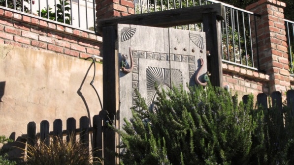
An interesting door.
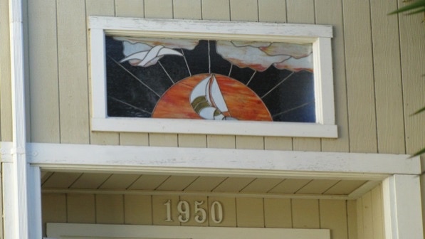
Author Fleming has noted ships and stained glass on earlier walks. This one is easy to see.
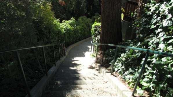
The staircase with the “W.P.A 1939” cement stamps (page 148) is ahead, to the right of the large tree.
This is the view down the W.P.A. staircase.
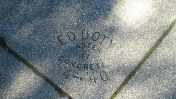
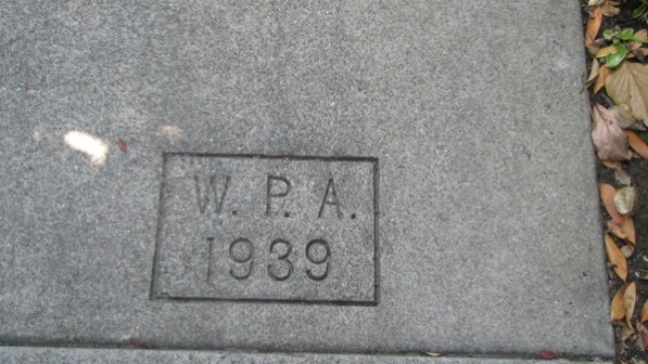
The cement stamps are quite clear. Here is one of them.
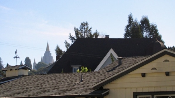
The Mormon Temple is visible while we were on Hoover Drive.
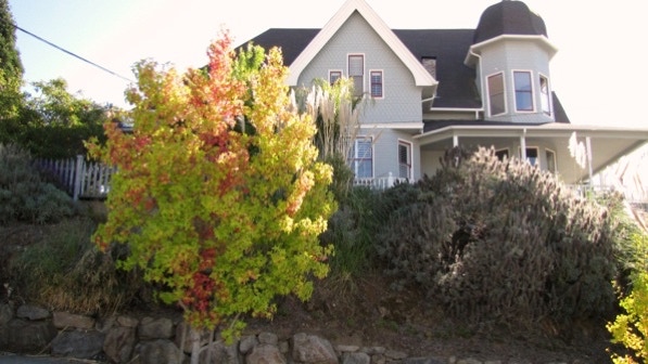
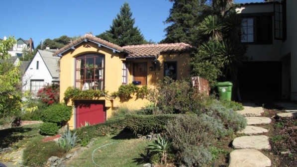
The “cupola–cornered confection” (page 149) on Fruitvale Avenue is quite nice. The yellow house pin on the map shows its location.
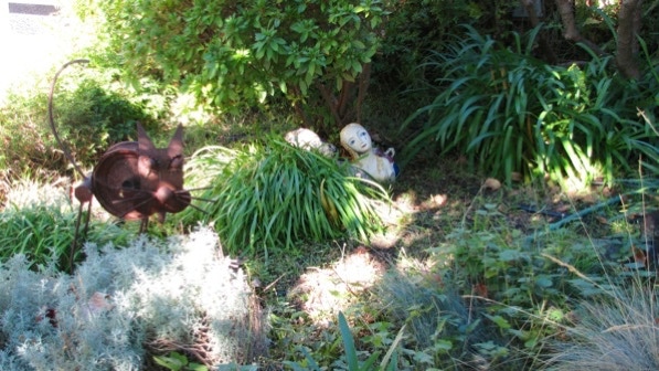
A bit of art on display as we head for the turn onto Clemens Road.
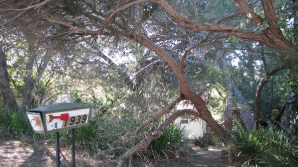
There has been a change since the book was produced. This is the little forest, noted on page 149, of “fine oak and cypress trees in front of the house at 1939....” Today they look like they lack care.
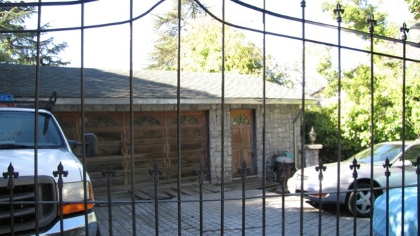
The house next door, though, is still a “strangely barricaded fortress.”
The house at 1868 Clemens Road has been painted in bright colors.

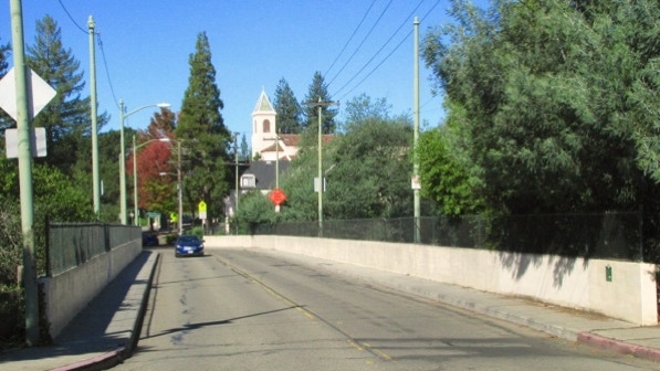
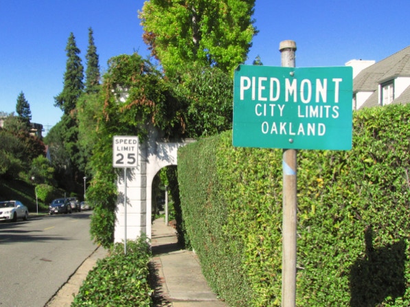
We are now back at Rocky’s Market, and headed for the next walk. To get there, we cross a creek on a high bridge built for a street car (blue line on the map). There is a sign on each end of the bridge with a bit of history about the bridge. On the map, the rail car pin indicates the location of one of the signs.
The green sign is fixed to the walkway wall on the right side of the picture.
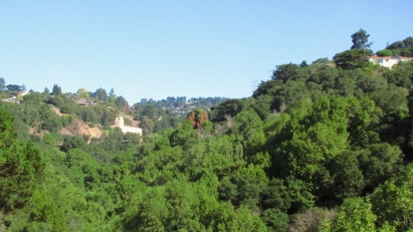
This is the view from the middle of the bridge, looking up Sausal Creek Canyon towards Montclair Village. We could hear the water in the creek as we walked across the bridge. You may see electrical transmission towers, just like those in Walk #23—Glenview.
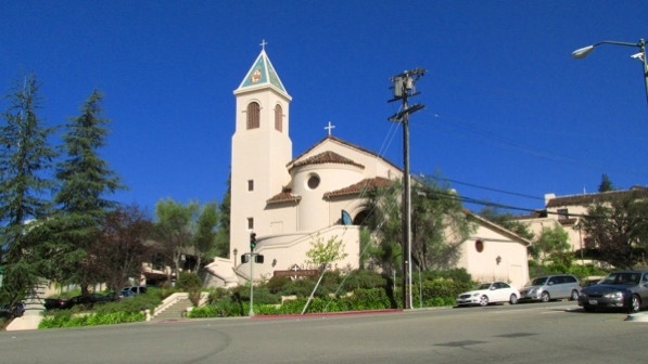
Just past the end of the bridge is Park Boulevard and Corpus Christi Church. The walk continues to the left of the photo.
The turn for Trestle Glen Road is just past the bus stop for the #18 bus. We are just off the sidewalk, so we are in Oakland at this point.
But not for long. The boundary here is somewhat confusing, as it appears to run through lots occupied with houses. Best guess: the green sign is on the boundary. The gray line on the map is an approximation.
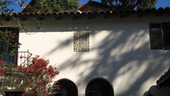
1850 Trestle Glen Road, built in 1929, has a nice mural.
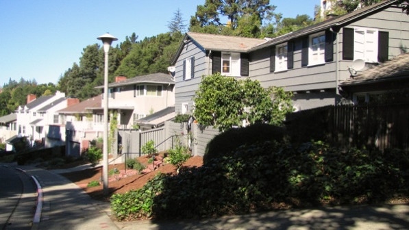
The first staircase is easy to walk past, as it comes down at a sharp angle. Here, it’s just to the right of the street light.
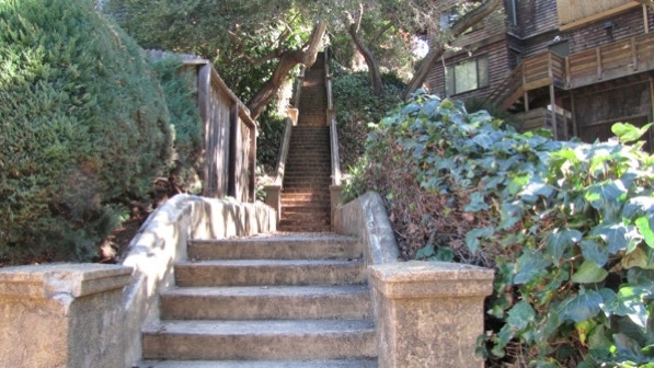
This is the view up the staircase.
At the top of this staircase, we are at the two walkers pin on the map. On another day, we met a family at the top of the staircase, with the book as their guide.
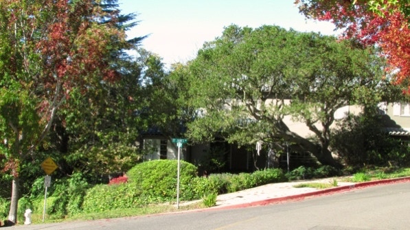
Up on St. James Drive is the “remarkable Japanese–themed house and garden” and, “a wide staircase” (page 152). The staircase is not public.
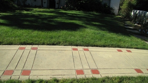
These are the saltillo–colored paving tiles common to this Piedmont neighborhood.
This is the “wide traffic island full of big trees.” There once were tall trees on the island, but the city cut them down a year ago. We’re at the green pin on the map.
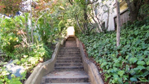
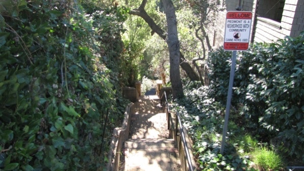
The bottom of the next staircase is to the right of the island, near the mailbox with the ivy–covered post.
This is the view up the long staircase.
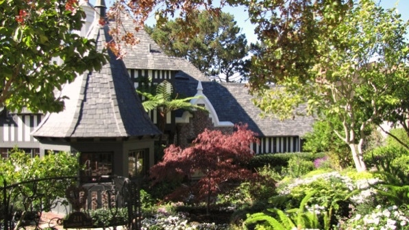
At the top, to the right on Sandringham Road, is an interesting house (built in 1934) with a turret and wonderful landscaping. On the map it is marked by another yellow house pin. The walk goes in the other direction, though.
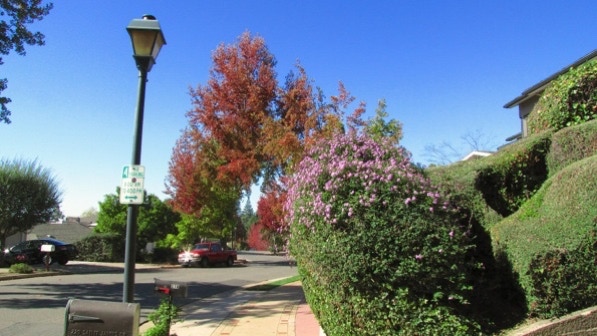
Along Sandringham Road, the liquid amber trees are beginning to turn color.
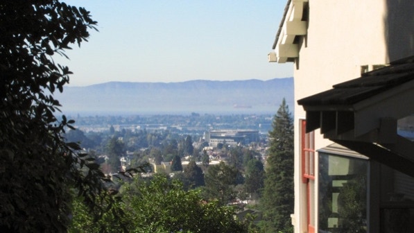
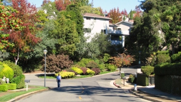
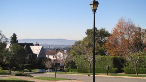
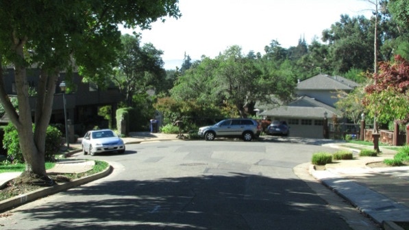
After turning left onto Cambrian Avenue, a view pops into focus. We are at the camera pin on the map.
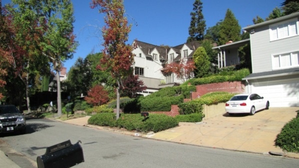
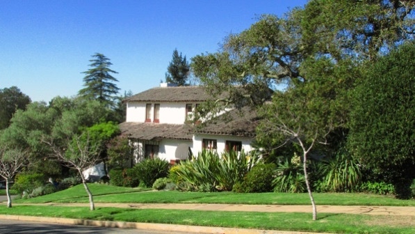
Just down a bit on Cambrian Avenue is a very fine house built in 1936. The next staircase down is across the street.
We are now down on St James Drive again. More tree color.
The walk goes to the left, down a short cul–de–sac.
The last staircase isn’t easy to spot. It’s just to the left of center in this photo.
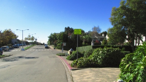
Usually these signs are near the boundary with Oakland, but this time, the boundary is at the bottom of the stairs and about three houses to the right.
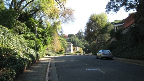
This is the view up Trestle Glen Road towards Park Boulevard. It is definitely an uphill walk to get back to the starting point in Oakland.
At the end of Trestle Glen Road, we’re back at Park Boulevard and the route back to the starting point of the Oakmore walk on Leimert Boulevard.

PS: On December 16, 2012, we met a woman who lives in a house between Trestle Glen Road (Piedmont) and Cavendish Lane (Oakland). She reported that the city boundary follows sewer lines. That makes sense. The sewer line on Park Boulevard is right next to the curb, so all of the sidewalk along the north side of Park Boulevard is in Piedmont. The map has been adjusted to reflect this insight.
Both walks are short and near each other, so we combined them into one.
The book reports 707 steps and 2.6 miles. The step count is right, but the combined distance, with a short connector, is 2.3 miles (distance calculated by Google maps). If you are taking the bus, only line #18 will work.
Next—Trestle Glen and Lakeshore Highlands.
