#18—Remillard Park
Walk #18—Remillard Park
Saturday, 27 October 2012
It was 70F and sunny at the start of the walk. Here is the map of the walk (green line).
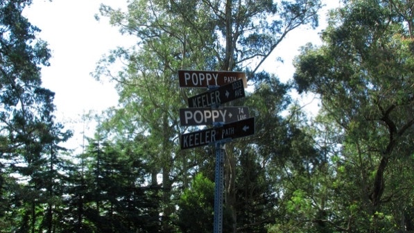
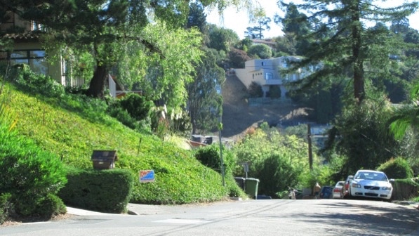
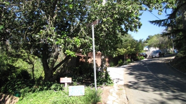
The starting point is the blue pin on the map. We were in the area earlier on Walk #13—Cragmont Rock Park. The starting point has a wonderful street sign: two paths, a lane and an avenue.
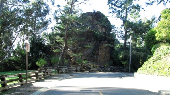
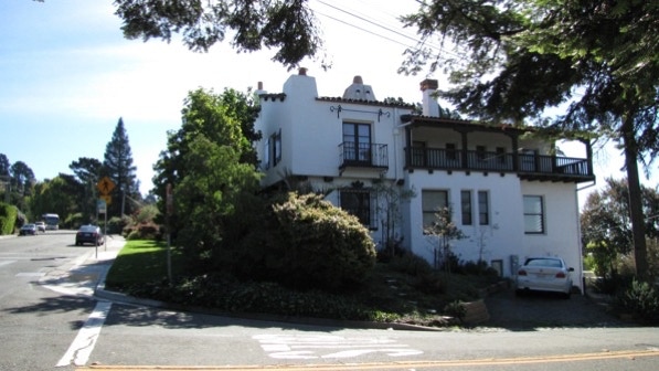
This is the “massive ochre stone, behind the split rail fence” mentioned on page 115.
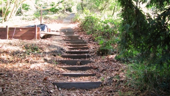
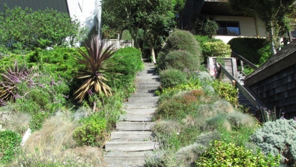
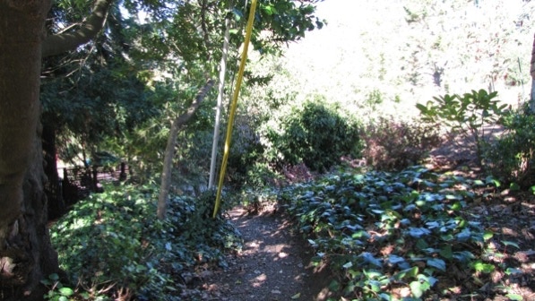
Railroad ties make up most of Poppy Path.
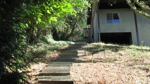
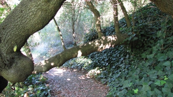
We’re close to the top at this point.
Walking along Miller Avenue, we found entrance to Bret Harte Path. The sign was a big help.
Bret Harte Path is also made up of railroad ties.
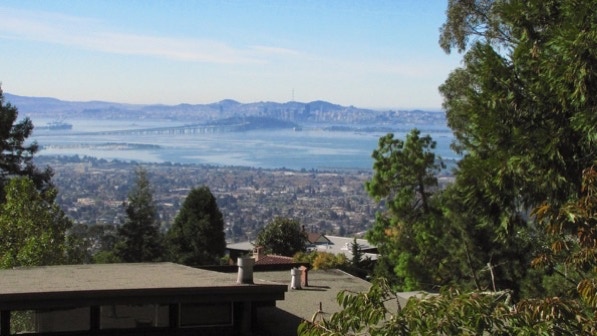
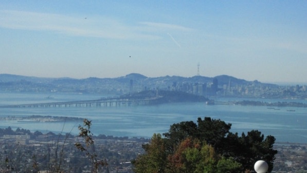
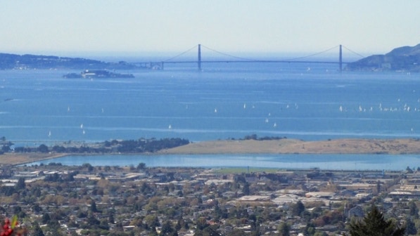
This walk has some remarkable views. Here’s one.
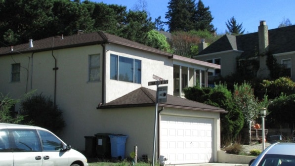
From page 116 about this section of Grizzly Peak Boulevard, “On a clear day you can see forever, with bay views, Golden Gate views, and Mount Tamalpais sightings almost guaranteed.” This is the “very handsome Spanish mansion at 1140 Grizzly Peak.” It was built in 1930.
That’s the #65 bus chugging up the hill.
Anne Brower Path is clearly marked. The house beyond has three gables. Until we started taking these walks, we did not appreciate how many houses have three of them.

There are more views, looking down Anne Brower Path.

We are at the camera pin on the map.
Looking down Miller Avenue, we can see the sign for Stoddard Path, which we took on Walk #12—Grizzly Peaks.
However, we are going to turn right before reaching Stoddard Path. Here is the entrance to Stevenson Path, by the “vintage green lamp post” (page 116).

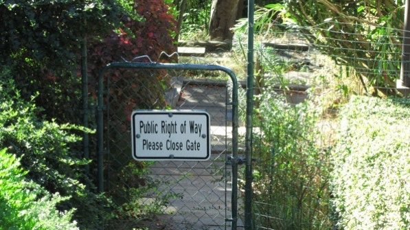
The path must have gates to keep out deer, which can eat a lot of garden plants in a very short time.
Someone has a horseshoe court on Stevenson Path.
As we walk along Keeler Avenue we recognize some of the houses from Walk #10—Cordonices Park. This house, at 1169, is mentioned on page 73. Look at the size of the redwood in the front yard.

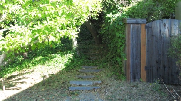
This is the bottom of “mighty Whitaker Path” (page 117).
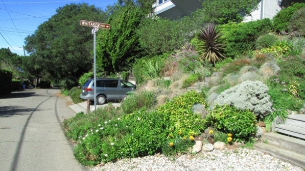
Whitaker Path climbs “past pleasant flower gardens on both sides....”
At the top of Whitaker Path, this house also has a giant tree in the yard.
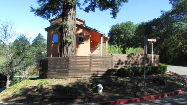
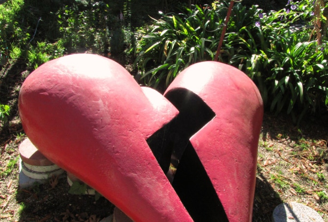
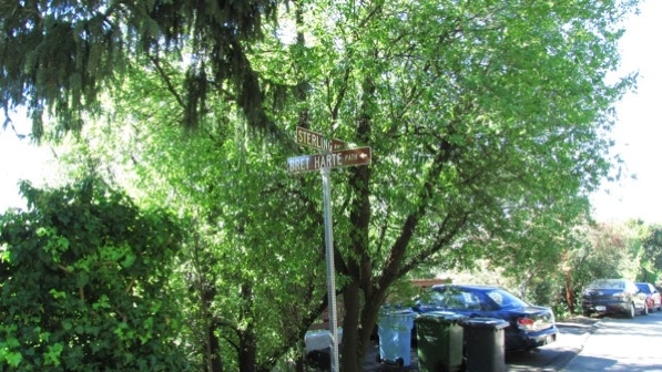
At the corner of Sterling Avenue and Twain Avenue is a fine piece of art. On the map, we are at the red pin.
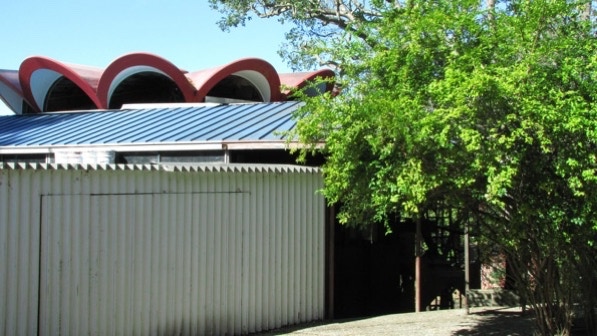
Down the street is the “wild architectural expression of Googie–style modernism....” It looks as if it is still under construction. Very slow work.
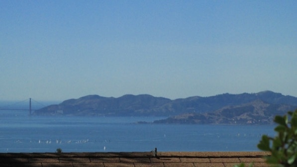
Here is one of the views mentioned on page 117. Here, Marin County and Angel Island.
The entrance to Bret Harte Path is marked with a sign and a flock of trash cans. Just occurred to us: Bret Harte Way was on Walk #10—Cordonices Park.
This is the view down the Path.
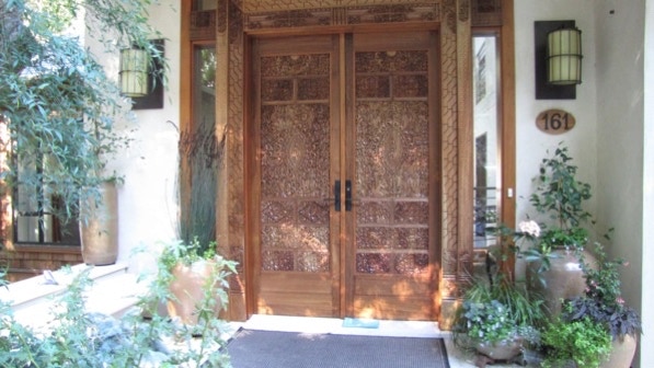
This intricate door is on a home at 161 Bret Harte Road.
Here is the map again. We’re approaching Sterling Path, marked by a yellow pin.
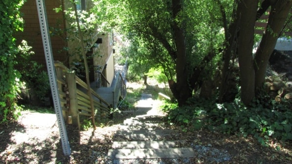
Moving on along Cragmont Avenue, we came to Sterling Path.
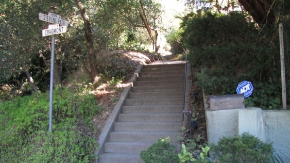
This photo looks back down the stairs from the top of Sterling Path.
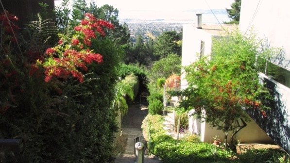
There is a good viewpoint there.
Keeler Path is very close.
Keeler Path, near the beginning.
“...the limbo–low limbs of an elderly bay laurel tree” (page 118).
Arriving back at the starting point, Remillard Park.
This walk is a good workout, and the views are terrific.
It was a sunny day, finally, and off we went to Remillard Park to savor the view.
The book reports 897 steps and 1.8 miles. The step count is higher, something over 1,000; the distance is 1.4 miles. (calculated by Google maps).
Next—a combination of two walks, #24 Oakmore and #25 Trestle Glen and Piedmont.