
#23—Glenview
Walk #23—Glenview
Sunday, 21 October 2012
It was a 55F and cloudy at the start of the walk.
Here is a map of the walk (green color). The blue pin is the start of the walk in the book, but we started at the red pin.
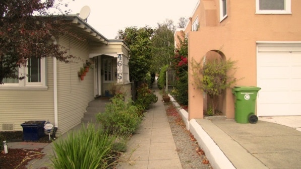
This is the entrance to Elsinore Walk.
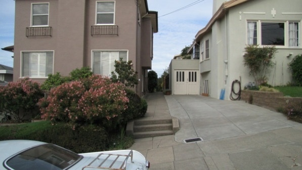
At the other end of the first segment, where it crosses Edgewood Avenue, the entrance to the second segment doesn’t look like a public pathway. Without the book, we’d never have thought this was anything other than a walk to someone’s back yard.
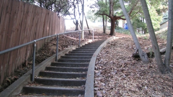
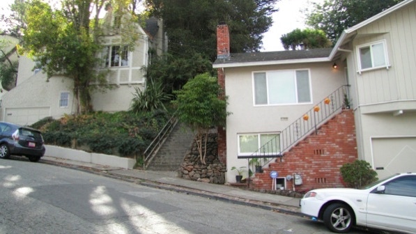
These are the nine steps down to San Sebastian Avenue (page 143).
On Walk #21—Highland Hospital the book called out “strangely angled columns” on houses along 14th Avenue (page 135). These columns look identical. The house at 4630 San Sebastian Avenue was built in 1921.
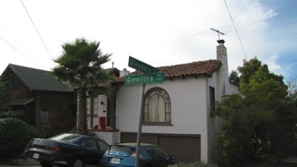
This is the right turn onto Glendora Avenue (page 144).
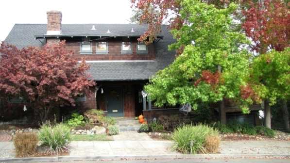
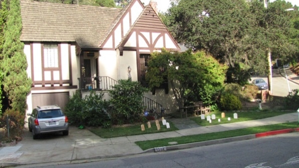
Halloween is coming up, and this house at 1015 Glendora Avenue (built in 1916) has pumpkins and a spider web on the liquid amber tree. The tree on the right has started turning color. On the map, we are at the yellow house pin.
Here is the map again.
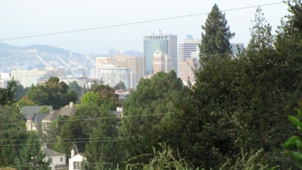
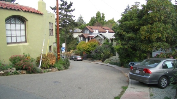
“Between 1031 and 1043 (Glendora Avenue) you can get sneaky peeks of downtown Oakland....” That’s on page 144.
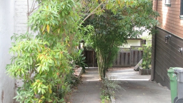
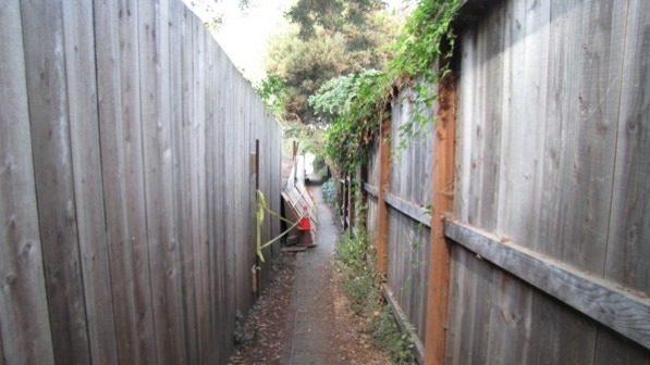
This is the entrance to the curious Glendora Path (page 144). It is marked as a public throughfare, but it is closed off with a gate.
Glendora Path is shown on the Google map. You can blow the map up by clicking on the plus sign on the upper left of the map.
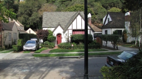
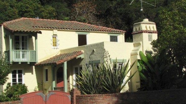
Here is a fine house with tropical landscaping at 1144 Glendora Avenue.

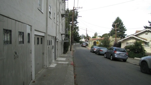
Here we have just turned from Edgewood Avenue to Everett Avenue. You can’t miss the turn if you look for the wooden garage doors.
This is the view down Elbert Street.
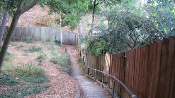
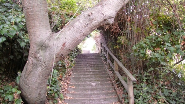
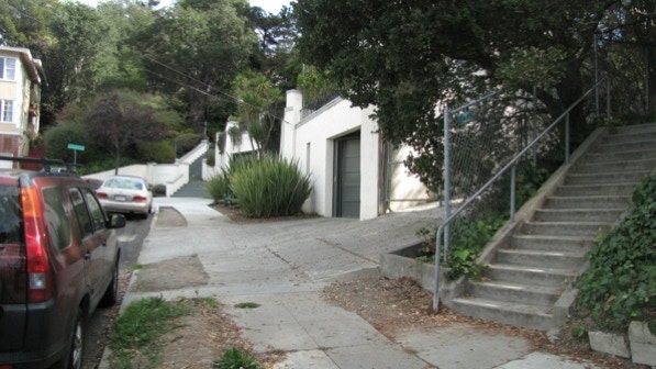
The entrance to the path and staircase is just to the left of the light pole and the “faded Craftsman at 1000....” (Page 144).
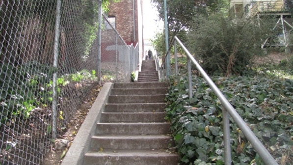
The staircase is in good shape, “in deep shade.” At the bottom of the photo, there’s a right turn.
“This one is a beautiful curved structure with a handrail.”
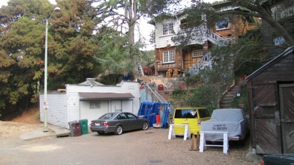
Near the end of the path, there is some work going on.
The path ends at Trestle Glen Road.
The end of the path, viewed back, looking in, is another one where we would not have guessed it was a public thoroughfare before we had the book as a guide.
Trestle Glen Road is a street with nice homes and a lot of trees. And shade.
These are the two “conical witch–hat turrets” mentioned on page 145. Both were built in 1928.
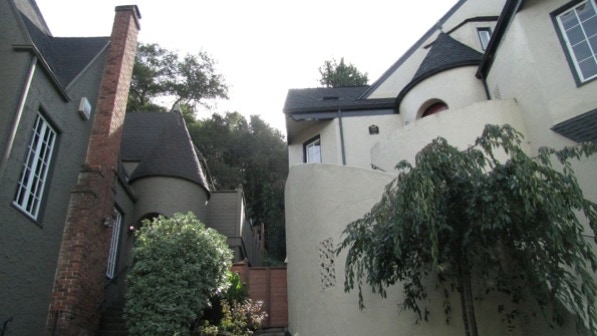
We are at the green pin on the map.
This house has a front yard filled with Halloween tombstones.

Except for the television aerial, this house at the corner of Norwood Avenue has a lot going for it in terms of design.
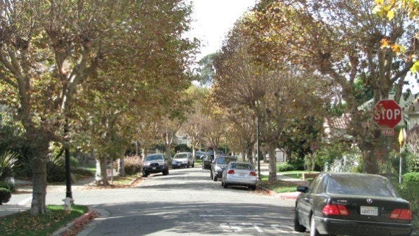
This picture was taken at Creed Road, looking down Trestle Glen Road. Trestle Glen has a fair amount of through traffic on it, but it is a narrow street.
Not far up Barrows Road is the next staircase.
Don’t hit your head on this big tree!
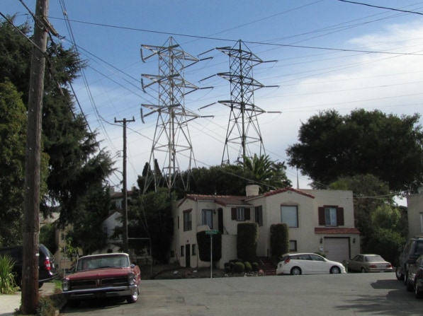
Up on Holman Road, looking east towards Bates Road. Those two towers dominate the scene.
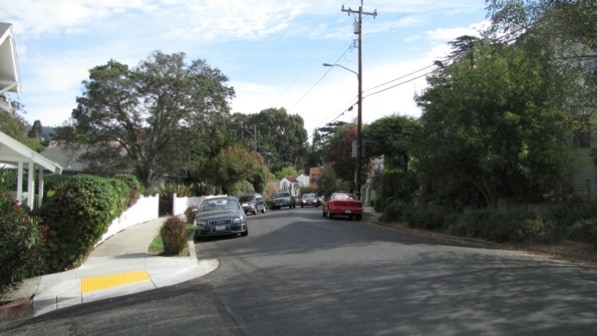
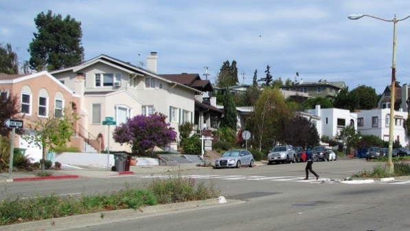
Here’s the view from the intersection of Hampel Street and Greenwood Avenue.
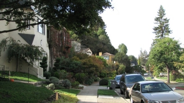
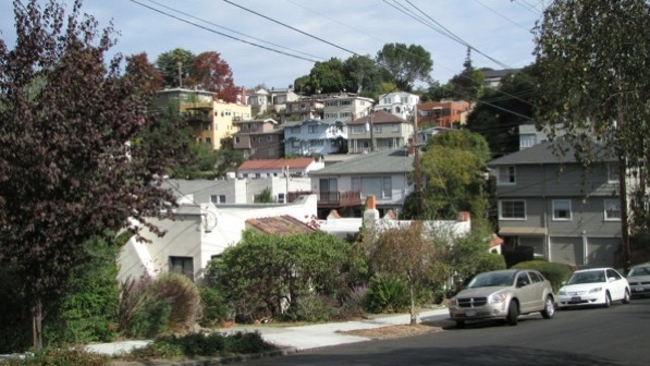
Glenview is fairly dense, and hilly. This photo was taken just before reaching Fleet Road.
The staircase up to Glenview’s shopping area is right here.
Park Boulevard is at the other end of the staircase.
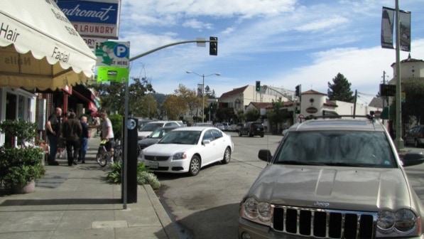
This is a section of the small shopping area. Marzano makes a fine pizza; it’s in the white turret across the street.
We are very close to the blue pin on the map.
A few minutes later, we were back to our unofficial starting point, the entrance to Elisinore Walk.
The author calls this is “a charming walk,” and that’s a good description.
The book reports 206 steps and 2.2 miles. The step count is right, but the distance is 1.9 miles (distance calculated by Google maps). If you are taking the bus, only line #18 will work.
Next—Remillard Park, if the sun is out.
