
#36—El Cerrito part 2
Walk #36—El Cerrito (part 2)
Sunday, 17 February 2013
It was 52F and hazy at the start of the walk. The starting point is the yellow pin.
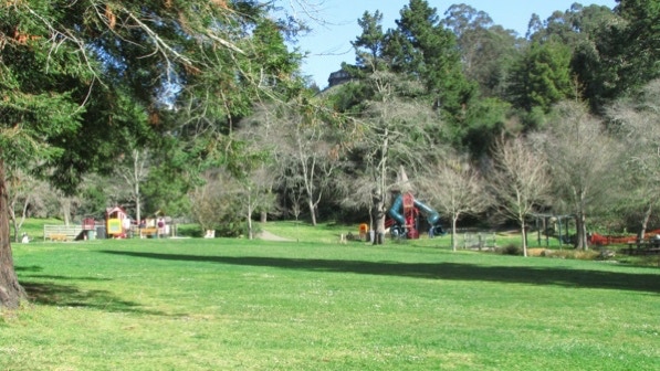
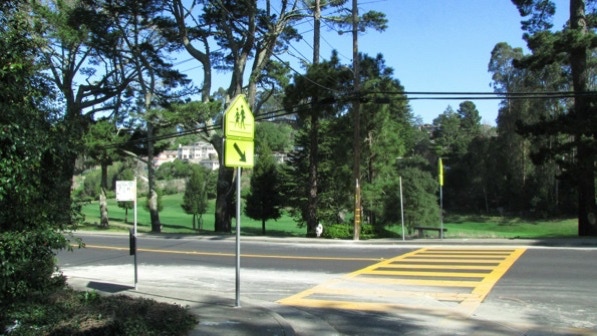
Right across the Arlington is Arlington Park (page 213).
From the yellow pin, we turned left onto Brewster Drive (the book calls the street Brewster Place).
This is “the ancient palm–lined driveway (which) leads to a sturdy Spanish–themed residence. This is the George Friend Estate....”
Unfortunately, the house was nearly impossible to see because of the shrubs and trees surrounding it.

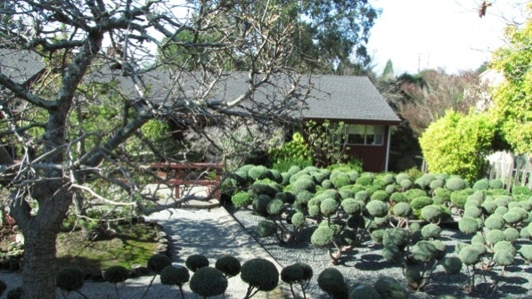
At 1227 Brewster Drive we came upon this sculpted garden.
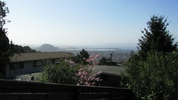
The views out across the Bay would be really great on a day without so much moisture in the air.
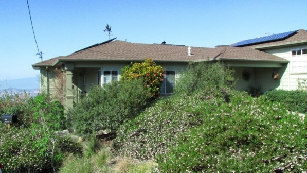
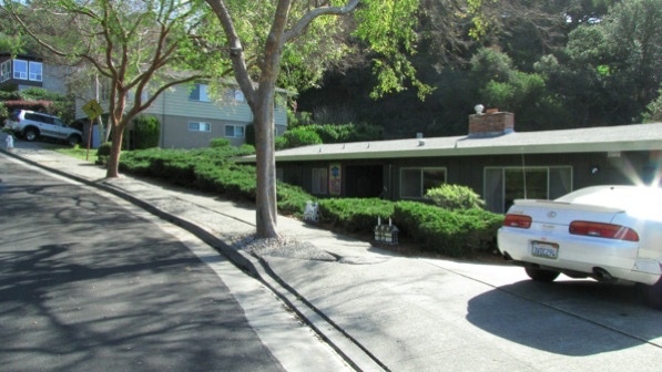
When we got to the intersection of Brewster Drive and Brewster Court, the yard at this house had pretty flowering mazanitas, and the roof sports a nice looking weather vane.
We are at the tree pin on the map.
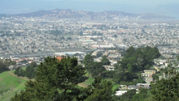
Here’s a photo showing Richmond.
This is the intersection Brewster Drive and Devonshire Drive. The walk goes up the right side in this picture, towards the truck.

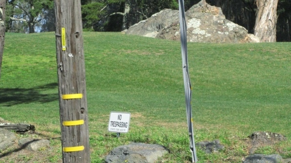
When we go back to the Arlington, we could see the Mira Vista golf course, noted on page 214.
Also, a flock of “no trespassing” signs.
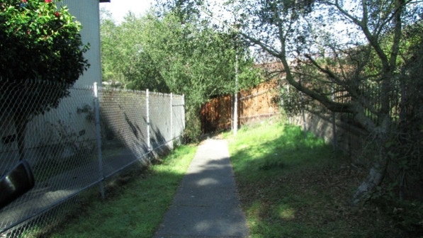
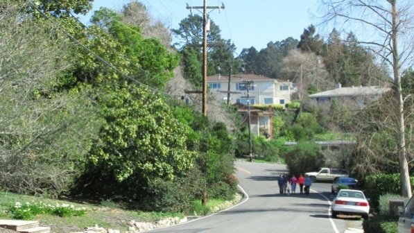
After turning left onto Madera Drive, we turned right onto Madera Circle. The street goes down hill to the next path.
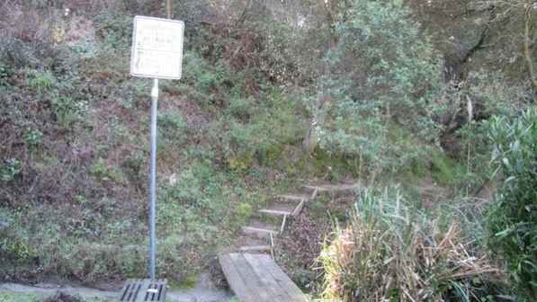
The entrance to the path is marked by a chain link fence and a fire hydrant.
The path looks like a dead end, but it swings around to the left at the wooden fence.
The path turns into a staircase not long after the left turn.
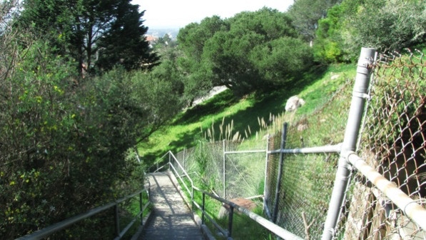
The bottom of the staircase lands on Julian Drive. The next staircase is in the center of this picture
The book (page 214) calls these “steep, nosebleed stairs.” They do offer a good workout.
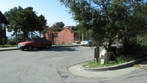
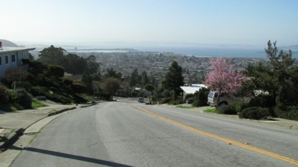
The book informs us that the views are great. We’ll come back on a day with really clear air. That’s Albany Hill over on the left side of the photo.
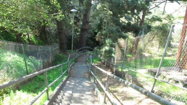
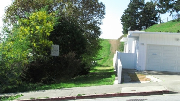
This is the entrance to the path mentioned on page 214. We can affirm the views are quite good a short distance up the path. There was a large, barking dog in the side yard of the house. It did not try to jump across the fence, although it sure looked like it could do so.
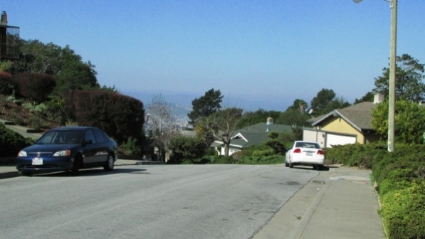
This is the view down Portrero Avenue.
After we turned onto Douglas Drive, we went the direction indicated by the one way sign.
The next path is by the deer sign, past the house with little houses in the yard.

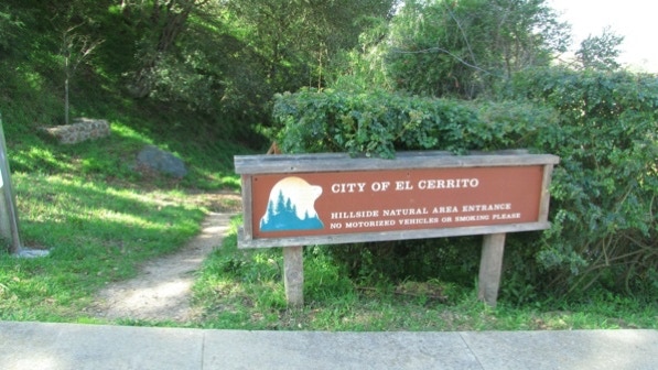
The book at this point is confusing. There isn’t any way to “walk straight on” as the path moves off to the right at the entrance to Hillside Natural Area.
Google Maps show a path going “straight on” but there isn’t a path like that. What’s drawn onto the map is as close as we could get to our actual route.
We are at the red triangle with the exclamation point pin.
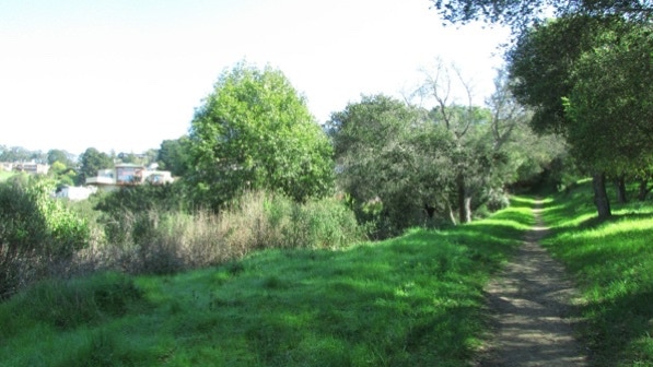
The trail looks like this, and eventually ends in 5 steps down to a wider trail. The book (page 215) reports only four steps.
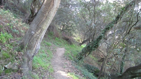
Our advice is to stick to the trail that goes up the hill. Here, it is marked by the arrow.
There is quite a bit of poison oak along the sides of the trails in this area, but none on the trails themselves.
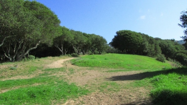

We kept going up hill, and eventually we could see houses, which was a good sign!
Farther along, a wooden fence ran along the left side of the trail. Not long after, we came out at the right spot on Regency Court (page 215). Here’s the sign to look for.
After a short rest, we walked to the intersection with Kent Court/Kent Drive, and turned left.
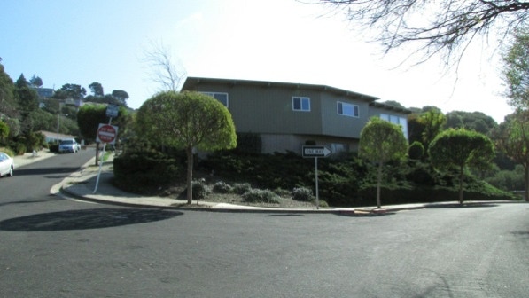
After a right on Contra Costa and a left on Buckingham, we were back at Brewster Drive, and close to the yellow pin, our starting point.
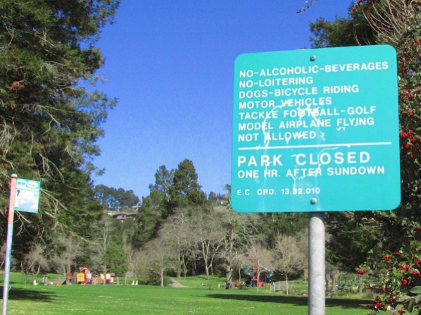
Back at today’s starting point, we went to look at a sign in Arlington Park. It looks like having fun could be a challenge in El Cerrito!
Once we emerged from the Hillside Natural Area, we were really glad we broke this walk up into two parts. This second part has a lot of elevation change in it!
We went out in the brilliant morning sun to finish the El Cerrito walk.
The book reports 221 steps and 4.4 miles. According to Google maps, the distance is 3.9 miles.
Next—A review of the best walks.
