
#36—El Cerrito (part 1)
Walk #36—El Cerrito (part 1)
Saturday, 16 February 2013
It was 64F with a thin cloud cover at the start of the walk. Here is the map of the walk (brown line). The starting point is the blue pin.
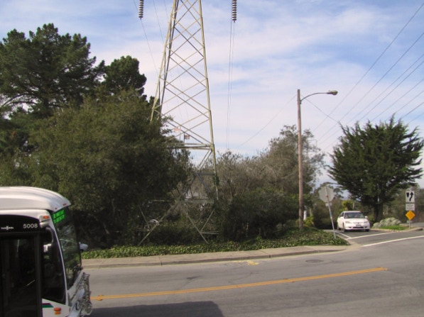
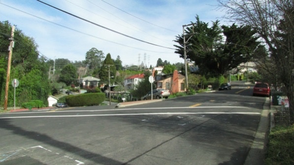
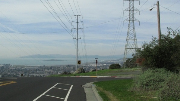
We drove up the Arlington, past the starting point for the two walks in Kensington. After a few minutes, we arrived at the intersection of Moeser Lane. It is well marked with electrical transmission towers. As noted on page 211, the #7 bus stops at the intersection.
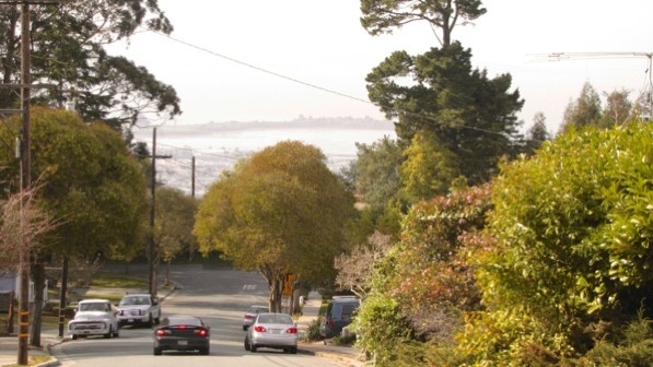
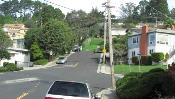
This is the view down Roberta Drive. We could see across the Bay, but the camera did not do as well. Las Mimosas is mentioned on page 211, but the “Spanish castle” isn’t in sight. Our telephone’s map shows a structure straight ahead in this picture; there is a note in the book about the building being “scheduled for the wrecking ball.”
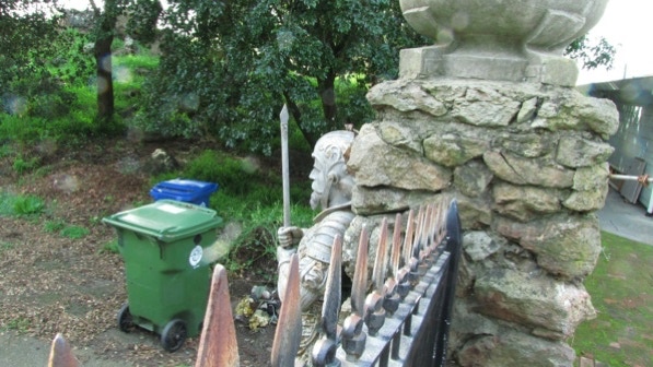
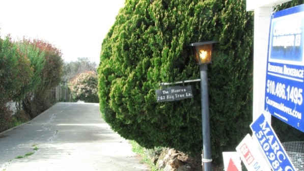
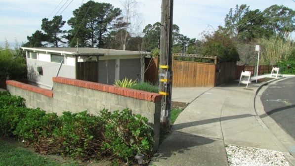
We turned right onto Bates Avenue and walked along a fence covered with shrubs. There were a few places we could peak in, and it was clear there once was a building there. There is an armed guard still standing (page 211).
If you click on the lower left of the map, you can drop the little yellow person icon down onto the flag pin and see what things looked like in April 2011, when there was another armed guard—dressed up for Easter.
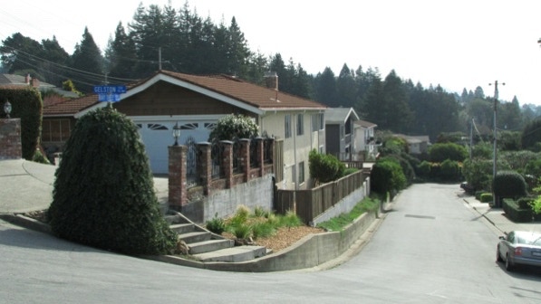
Page 212 describes the views we couldn’t really appreciate as we walked along Terrace Drive. When we reached Gelston Place, we turned left.
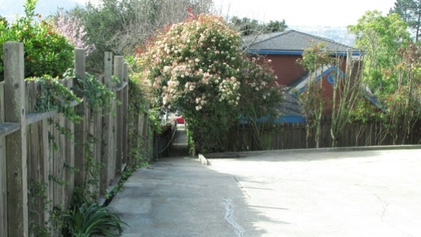
At the next block, we went down to the right, along Baytree Lane. The turn to go on the path down to Contra Costa Drive is near this spot.
This is the path, which does indeed look like a private driveway (page 212).
After a short distance, the route looks more like a traditional pathway.
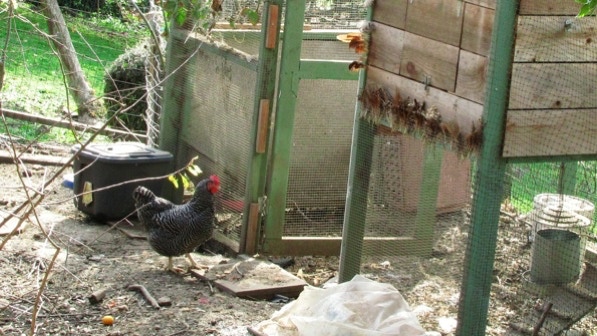
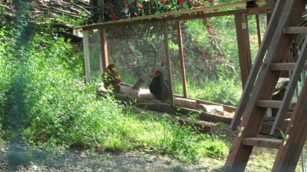
The book (page 212) had us on the lookout for chickens.
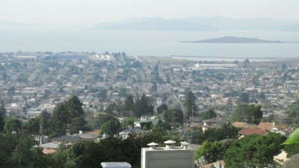
Here, if you look closely, you can see the Golden Gate Bridge. Brooks Island is on the right. Angel Island is farther out, in the middle of the photo.
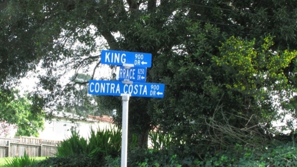
The book’s description of what to do at this intersection was a bit confusing. The street signs, if you can find them (hidden behind a tree), make things even more cloudy. We went in the direction shown below with an arrow.

The signs indicate this is the intersection of King Drive, Contra Costa Drive and Terrace Drive. The arrow turned out to be the right way to go.

The book notes wind chimes at 915 King Drive. They did not catch our attention, as the air was absolutely still. Other things caught our attention, such as the pink VW, a television in the drive way and artsy things planted in the yard.
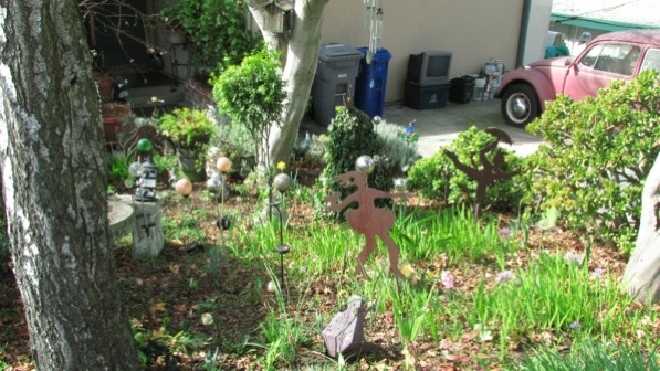
We are at the yellow television pin on the map.
The entrance to the next path is a little further up King. The book (page 212) states the entrance is “between a chain link fence on the left and a redwood fence on the right.” That is correct, but a better marker is a telephone pole.
This is the view down the path.
At the bottom of the path, we turned right and walked up Shevlin Drive, which the book calls “an uneventful stretch of roadway” (page 212).
We came across our first deer of the walk at #932.
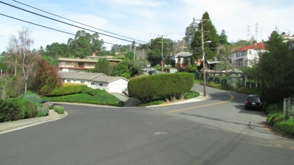
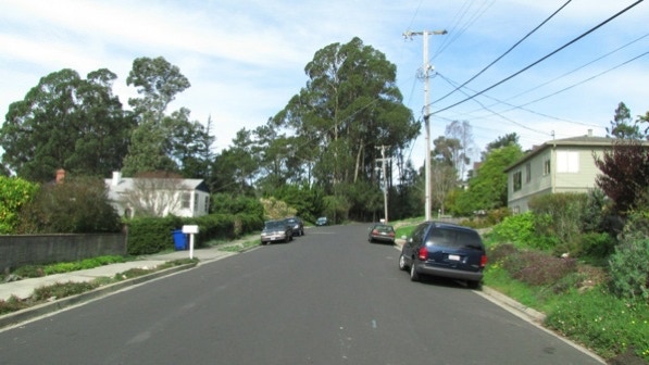
We kept going and crossed Moeser Lane again, and turned downhill. The right turn onto Shevlin Place is here in the photo.
In a short while we could see the next staircase.
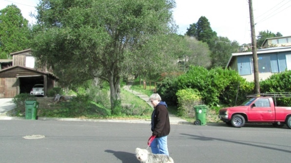
At the top of the flight of stairs is King Drive. The second set of stairs is behind the dog walker.
There were more chickens along this staircase.
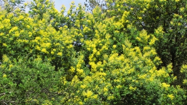
This winter acacia trees bloomed late. Here’s a part of one, with its striking yellow flowers, that is a bit farther up the staircase.
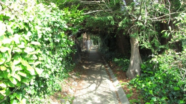
The entrance to the third segment of this staircase is in the middle of the plants. The book (page 213) accurately states, “Cross Contra Costa, jog slightly left, and find the trail rising up into deep redwood shade, under low–growing branches, into a green bower of private walkway.”
The path is paved.
At the top of the path we were at Arlington Boulevard. We decided at this point to break Walk #36 into two segments. Instead of pressing on to the left and onto Brewster Drive, we walked along the Arlington and proceeded to the last part of the walk as it is given in the book. The route is described in the last paragraph on page 215.
The deviation point is the yellow pin on the map.
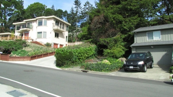
After turning downhill on Havens Place, we came to the “handsome barn–like house” at the corner of Terrace Drive. The house, built in 1926, is undergoing renovation. Its front entrance is at 8457 Terrace Drive.
After turning left onto Terrace Drive, we came upon a fine garden at #8507.

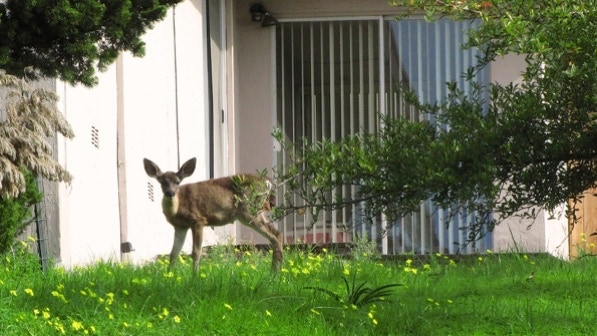
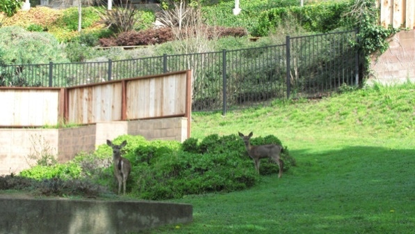
At #8457 we came across more wildlife.
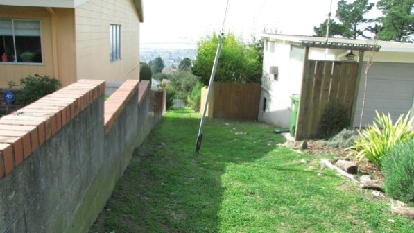
From the second deer sighting, it was a short walk back to the blue pin and our car. We will come back up here tomorrow and start from the yellow pin and complete what could be called the El Cerrito Figure Eight.
We went out in the cool morning sun and decided to finally tackle El Cerrito.
The book reports 221 steps and 4.4 miles. According to Google maps, the distance is 3.9 miles.
Next—El Cerrito part 2!
