
#14—Northbrae Heights
Walk #14—Northbrae Heights
Monday, 3 September 2012
It was 63F and sunny when we started the walk. That’s right, 63F again.
Here is a map of the walk (dark blue color). The blue pin is the start of the walk.
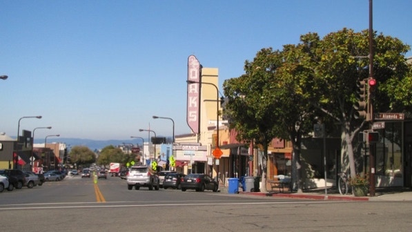
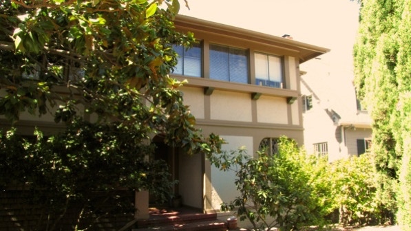
This view is looking towards the Bay, west on Solano Avenue. The “historic Oaks Theater” (page 93) is out of business.
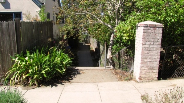
Yosemite Steps runs “narrowly between houses” (page 93). The signage is good.
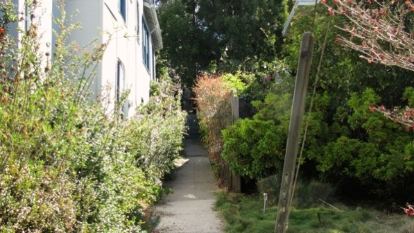
This is the second segment of Yosemite Steps.

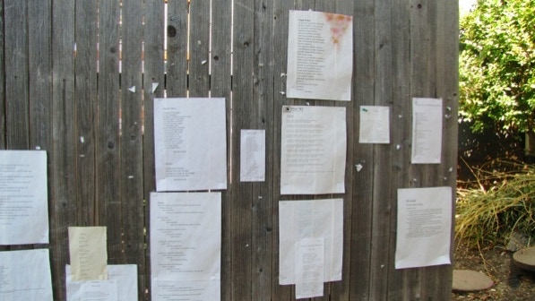
Near the top is a poetry wall. It is not mentioned in the book, so it must be new. Some of the poems are funny!
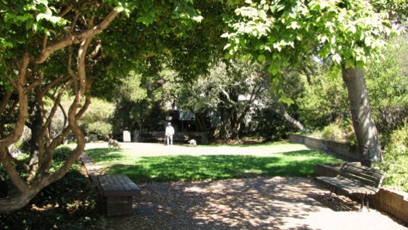
This is Frederick Mini–Park as seen from the walking route (page 94). We are at the park bench pin on the map.
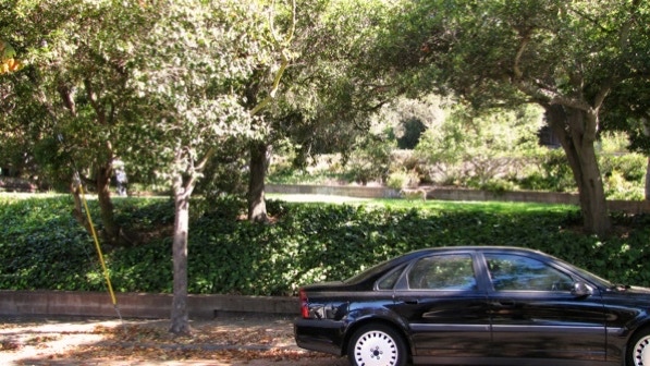
The park is indeed small, but pleasant.
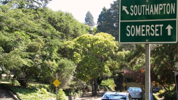
A bit farther on, we’ve reached the “Y” intersection of Southampton Avenue and Somerset Place. The route goes towards the more distant yellow Not A Through Street sign, to the right of the middle of this photo.
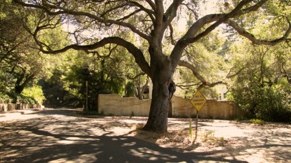
This is the “cul–de–sac with the huge oak in the middle” (page 95). The “fine old Spanish house” is behind the low wall. We are at the tree pin on the map.
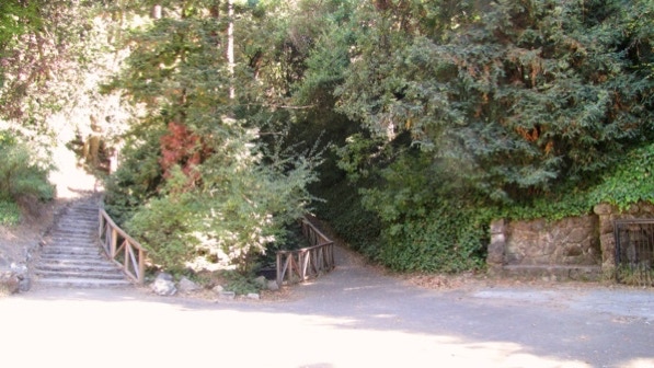
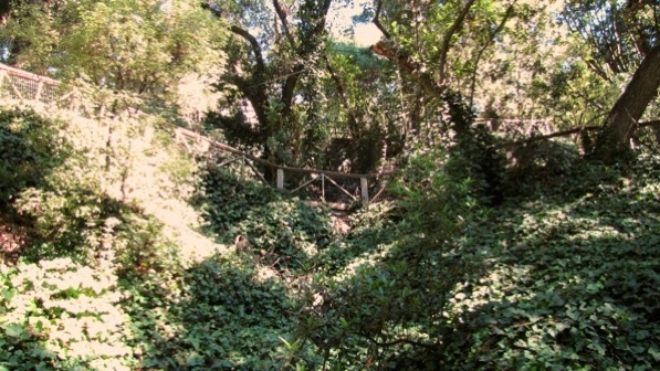
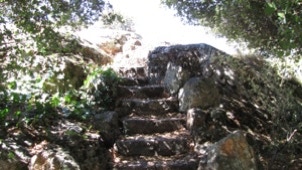
When we reached the amphitheater at John Hinkel Park (which is not far from the huge oak), we were faced with the fact that the area is in a state of disrepair. The book says, “The theater is used for various activities during the summer. Next to this you will find a series of stone steps climbing up the hill into the spreading shade. Climb 64 steps (page 95)....”
That’s not as clear as it could be, as there are several staircases running up and out of the amphitheater. We tried both of these. We have taken Walk #14 twice, and we’ve found that one or another staircase doesn’t make it all the way up the hill, because of deteriorating conditions. Our advice is to try one of them, and keep working your way to the top. If you hit a dead end, try another one.
This is looking towards the top and San Diego Road. Ivy is everywhere.
We are at the falling rock pin on the map.
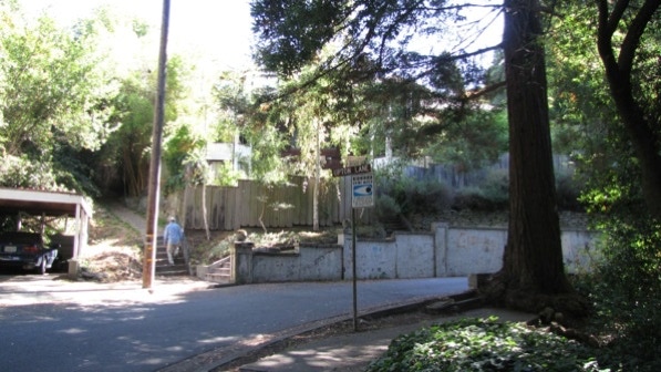
Once we were up on San Diego, we could see the next path, Upton Lane. There is a man in the photo going up it.
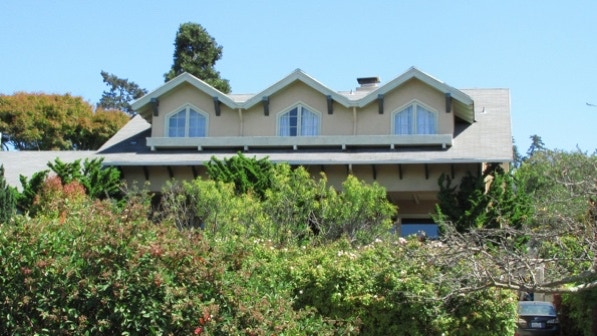
This is the attractive Montrose Road, with its “increasingly larger homes and gardens (page 96).”

This was taken in the middle of the Spruce Street segment.
This is the bottom of Poplar Path (page 96).
Rock Way’s sign is obscured by this olive tree. There is a bus stop pole just past the entrance to the Way.
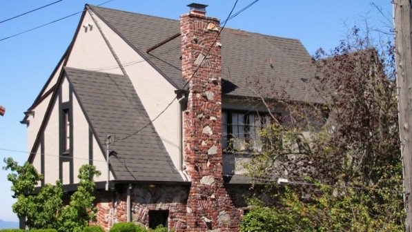
This is a fine looking chimney on a 1925 house across the street from Poplar Path.
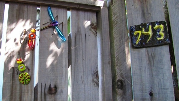
These bugs look like they have solar battery chargers, and may light up at night.
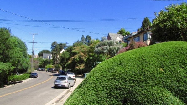
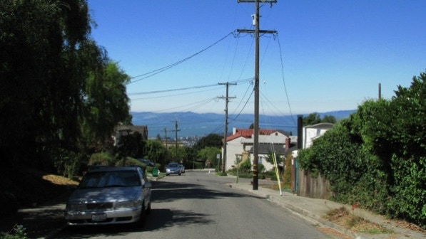
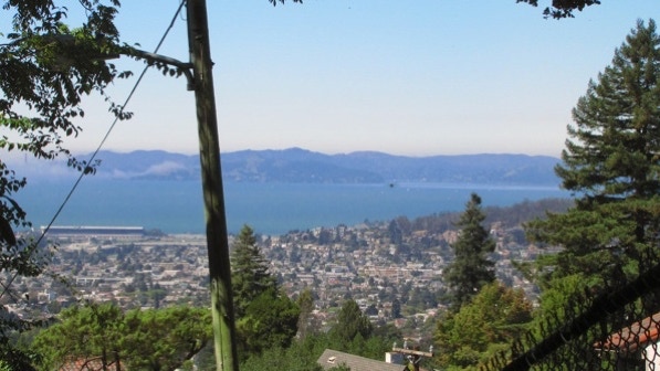
We continued the walk down Cragmont Avenue, and agree that the view of the Bay from Halkin Lane is good. If you ignore the utility poles and wires, though.
When we turned left onto Spruce Street, we saw the “startling statuary in front of the house at 707 (page 96).” We are at the flag pin on the map.

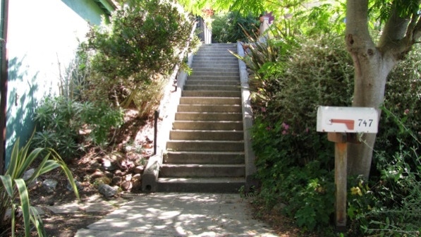
This is the top of Alta Vista Path (page 96).
The view is better on the Path.
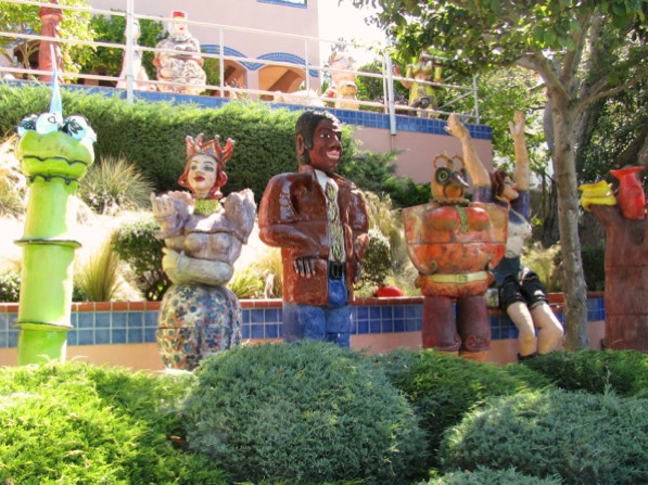
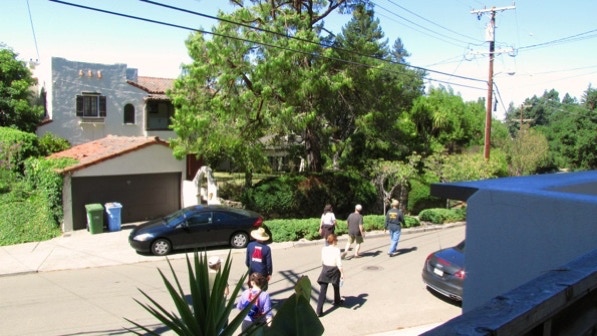
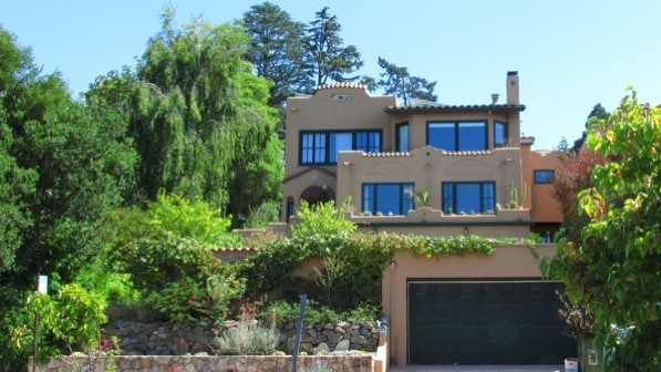
Down on Santa Barbara Avenue is the former home of Admiral Nimitz (page 96). This group was not using the book, but this is the second time we came across them today. We are the yellow house pin on the map.
This is the “huge copper–colored mansion at 260 Southampton (page 96).” Both times we’ve walked by it, it’s been in the shade. There is a creek running alongside it.

The turn onto Chester Lane is well marked. The book is right, the gardens along it are well done. The photos didn’t turn out well, though.

This is looking down Chester Lane.
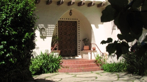
Here is an attractive carved door at a house at Chester Lane and Southampton Avenue.
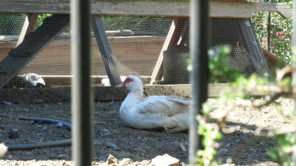
Here is one of the ducks at 116 Southampton Avenue (page 97). The chickens were difficult to photograph; there are a lot of them. We are at the yellow pin on the map.
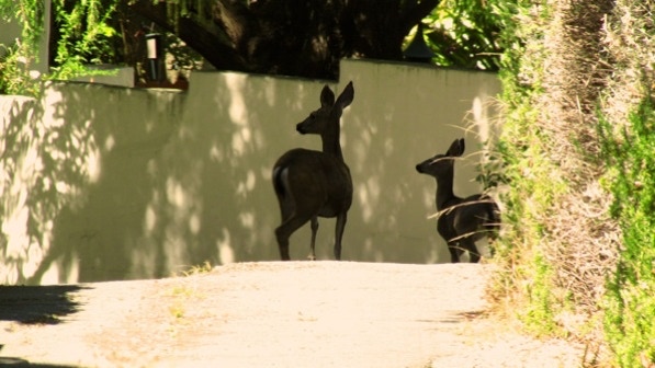
Just before turning onto Tunbridge Lane Path, we came across wildlife.
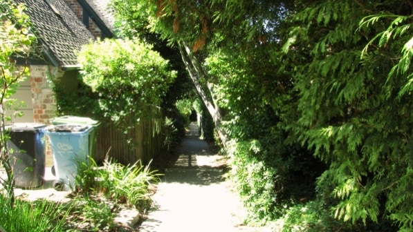
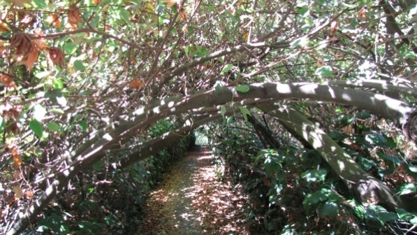
Tunbridge Lane Path is well–signed and is a “lovely shaded corridor overhung heavily with shrubs and vines. (page 97).”
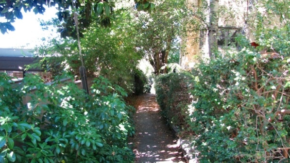
Overhung is correct.
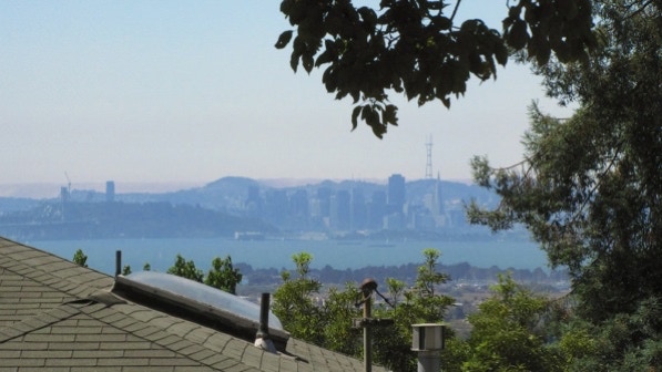
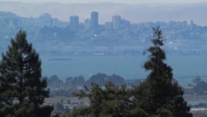
Along the Arlington, there is a view of San Francisco. Some of the houses mentioned in the book are in Tour No. 38 in the 41 Berkeley Walking Tours book.
This is the rock bridge over Blackberry Creek.
This 1930 house is not in the 41 book, but it is attractive. The house across the street with two chimneys is #17 in the 41 book.
This house was designed by Julia Morgan in 1912. #18 in the 41 book.
This house was designed by Julia Morgan in 1911. #15 in the 41 book.
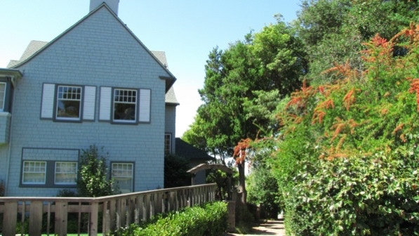
This is Indian Rock Path. The house to the left is Kay House, built in 1912. It’s #28 in the 41 book.
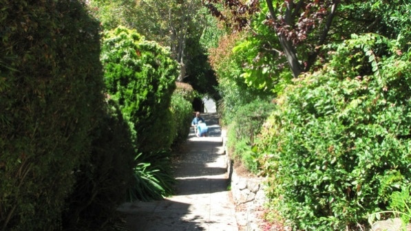
Indian Rock Path is pleasant and gets a lot of use.
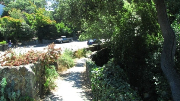
We also walked on the “diversion” (page 97) over to Contra Costa Rock. The steps are good and so is the view.
And then we were back at Solano Avenue.
This very good walk has quite a few nice looking houses on it, and surprises of fowl and large ceramic statues.
The book reports 446 steps and 2.8 miles. The step count is close enough, and the distance is 2.2 miles. (distance calculated by Google maps).
Next—Great Stone Face Park.
