
#15—Northbrae Rock Paths
Walk #15—Northbrae Rock Paths
Sunday, 2 September 2012
It was a little bit warmer when we started this afternoon walk than during the morning (Walk #13). We took this walk out of order because it had fewer steps than Walk #14.
Here is a map of the walk (red color). The blue pin is the start of the walk.
Indian Rock Path is easy to spot.
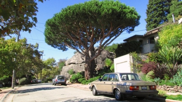
The first cross street is Contra Costa Avenue. That’s Contra Costa Rock Park behind the lovely pine.
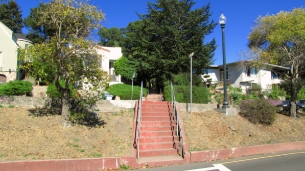
The section of Indian Rock Path climbing from Mendocino Avenue looks like this.
The Arlington and more steps up.
The “path runs smack into Indian Rock” (page 100), which is Indian Rock Park. It’s a shady place with a lot of visitors. One of whom was heard to say, "what an odd place to put a rock."
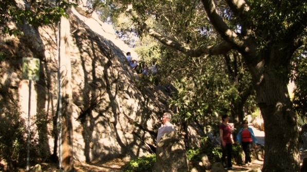
However, at the point you see the rock, go to the left.
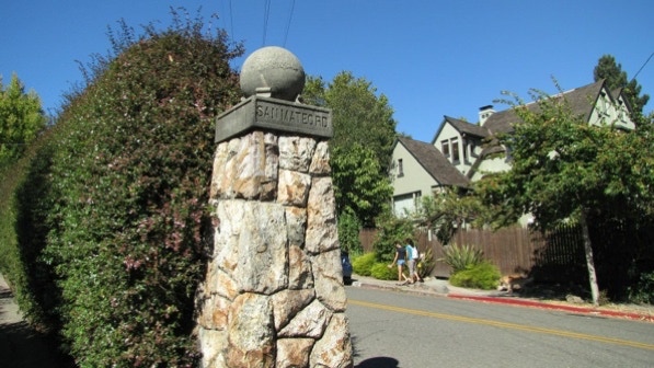
Leaving the park, we came to “the huge stone pillar that used to serve as the areas’s street sign (page 100).” The route here does not follow the two women in the photo.
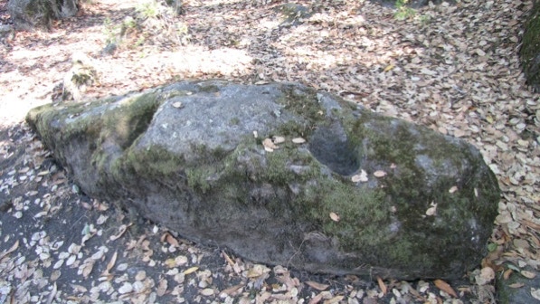
Moving up Indian Rock Avenue, we came to Mortar Rock Park.
The depression on the right of this rock was carved by California indians.
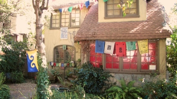
This color is at 831 Indian Rock Avenue.
We are at the yellow push pin on the map.
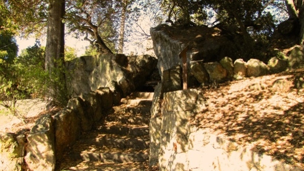
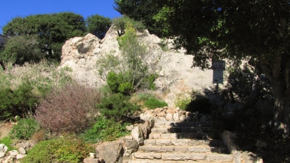
We deviated a bit over to Grotto Rock Park (page 101); red triangle on the map.
Busy Marin Avenue (be careful, really).
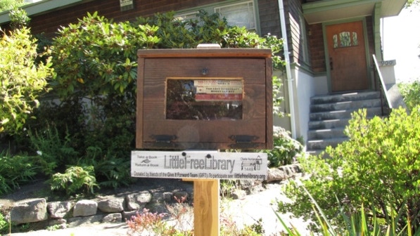
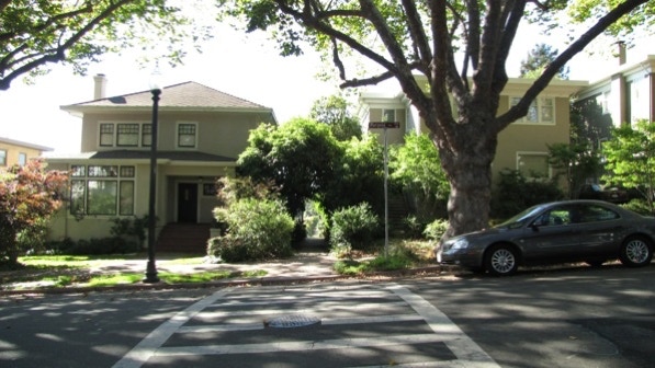
Here’s a library on the corner of Marin Avenue and Santa Barbara Road.
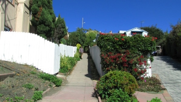
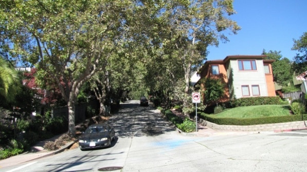
This shows what some sidewalks are like, a barrier of plants between the pedestrians and homes, and the road. Here, Spruce Street.
“Some nice views of the bay between the houses (after crossing San Benito Avenue; page 101).”

Fence ornamentation at 1022 Spruce Street, just after Keith Avenue.

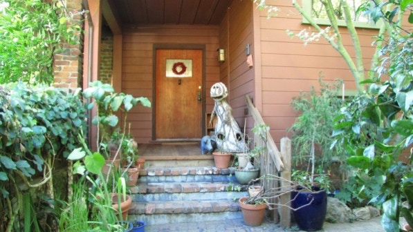
An artsy entrance to a home at 1068 Spruce Street.
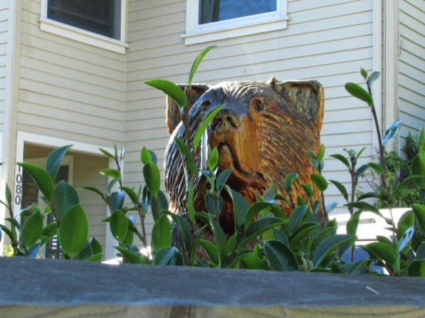
Here is one of the carved bears at 1086 Spruce Street (page 101).

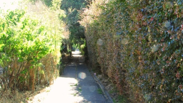
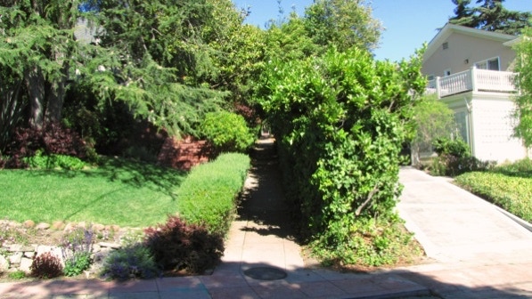
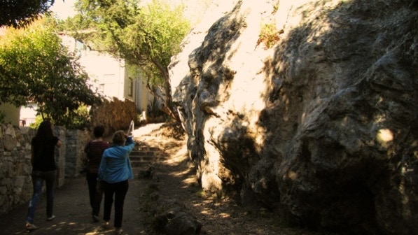
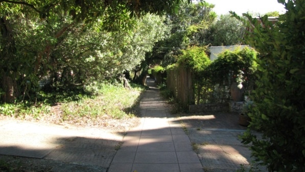
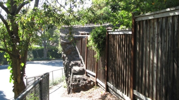
The entrance to the Short Cut is well marked. Here, looking into the sun, what the Short Cut looks like. We are at the red push pin on the map.
This is the entrance to “delightful Terrace Walk” from Shattuck Avenue (page 101).
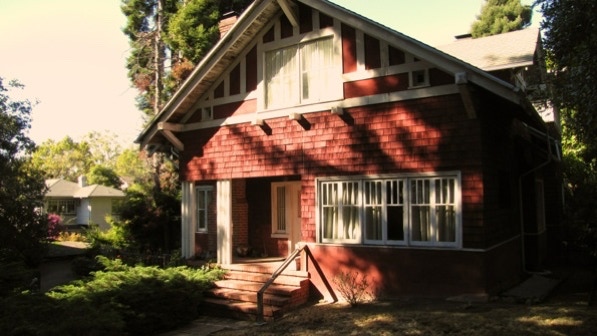
This is the “lovely wooden barn at 81” Terrace Walk, built 1914 (page 102).
We are now at Mariposa Avenue, heading for the second segment of Terrace Walk.
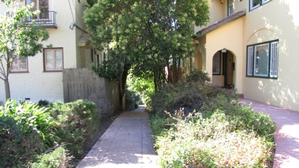
This photo shows the segment, with the rose garden on the left of the fence (page 102).
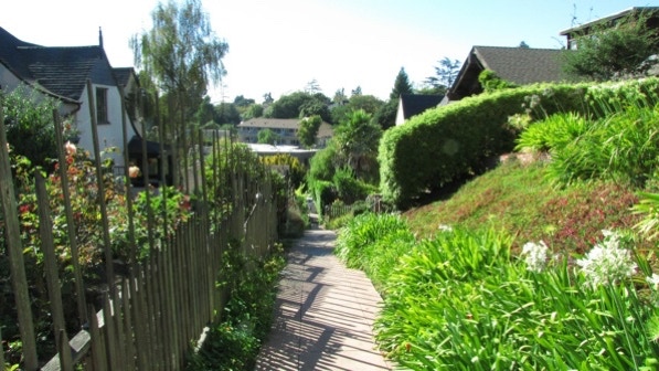
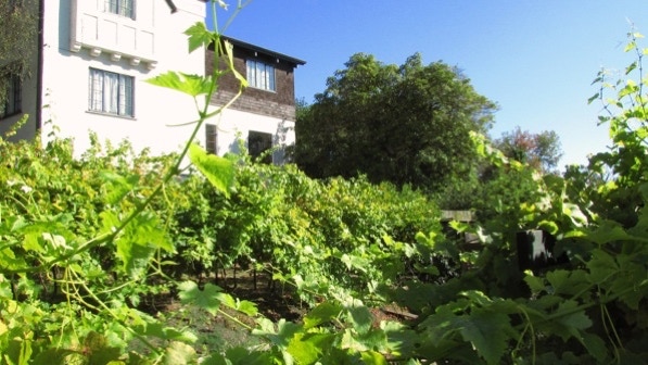
There is a yard along Terrace Walk that is planted as a vineyard.
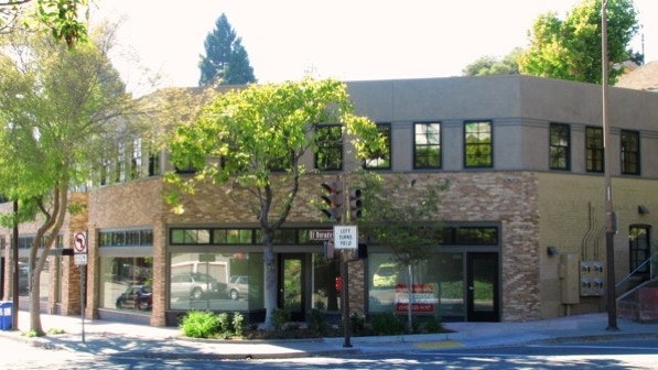
The end of Terrace Walk is mentioned in the book on page 102. The buildings here are new, and have replaced the “old storefronts...that included a bakery and corner grocery.”
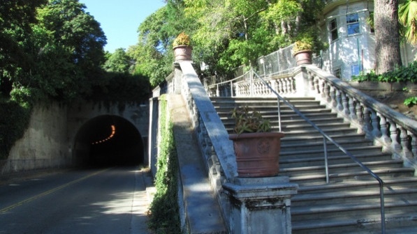
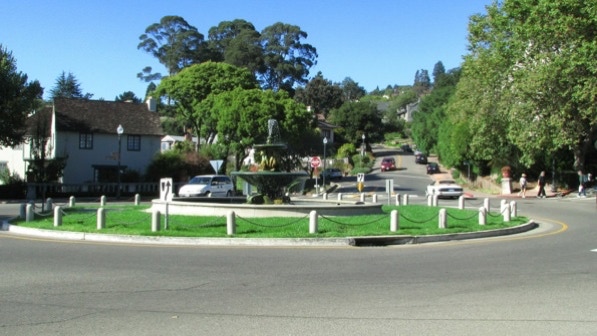
We are going up Fountain Walk on the right of the tunnel (which used to have railroad tracks through it, but today is for rubber–tired vehicles).
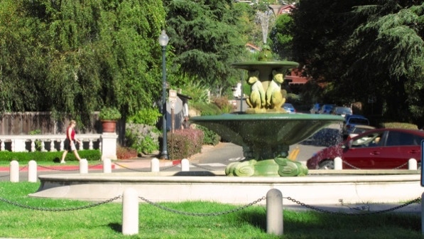
At the top of of Fountain Walk is...a fountain. This intersection is called “The Circle.” The second photo is a closeup. We are at the flag pin on the map.
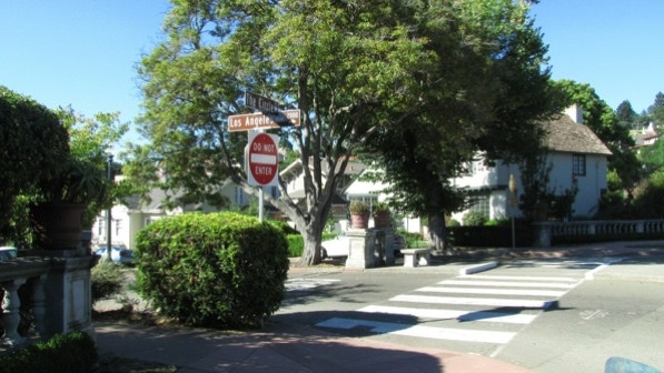
Going along The Circle, the turn down Mendocino Avenue is just past the turn for Los Angeles Avenue (page 103).
Continuing along Mendocino Avenue, we reached the turn for Black Path, which goes down to Solano Avenue.
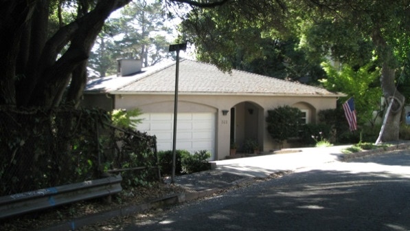
Wouldn’t you know it, there is a rock on Black Path. The end of the walk is just around the corner to the right.
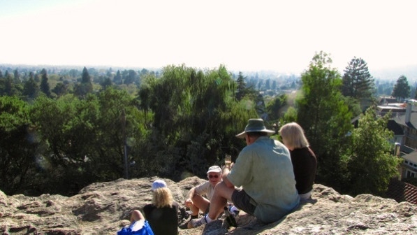
We went back up to Indian Rock Park.
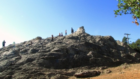
We walked up and saw impressive views and a foursome celebrating a wedding anniversary with a sparkling beverage.
We took this walk out of order because it was done in the afternoon of a morning walk, and the proper walk was tougher!
The book reports 87 steps and 2.3 miles. The step count is right, and the distance is 1.7 miles. (distance calculated by Google maps).
Next—Northbrae Heights.
