
#13—Cragmont Rock Park
Walk #13—Cragmont Rock Park
Sunday, 2 September 2012
It was 63F and sunny when we started the walk.
Here is a map of the walk (blue color). The blue pin is the start of the walk.
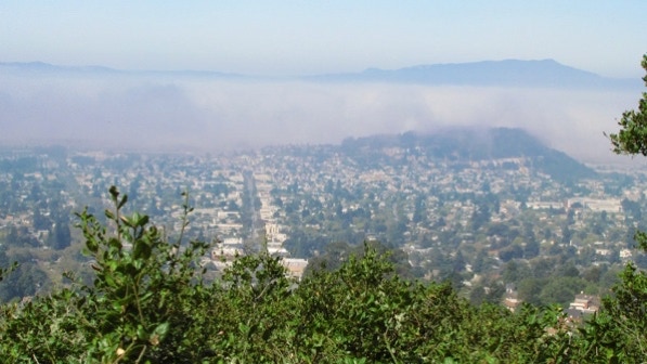
The book says the starting point, Cragmont Park, has fine views (page 89). That’s correct, though today there is a lot of moisture in the air.
This view is looking towards Berkeley, with Albany Hill just visible. There is a lot of fog out in the bay. Mt Tamalpais in Marin is visible in the upper right of the photo.
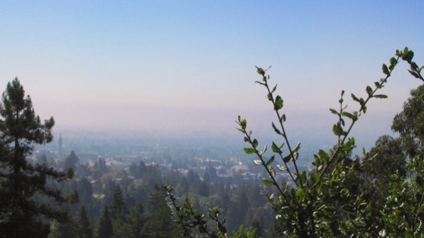
The Campanile is visible on the left side of this photograph.
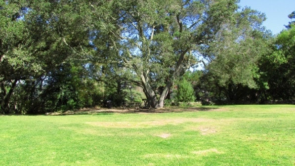
The park is attractive and quiet.
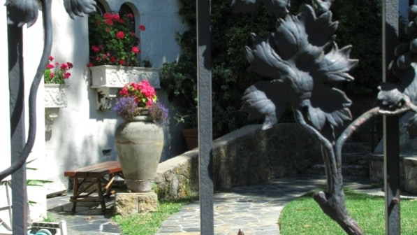
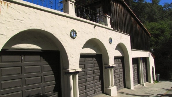
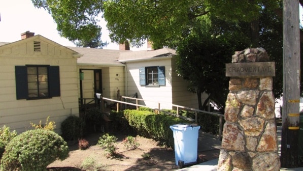
A house at the beginning of the walk has a nice patio behind an iron gate, and five garage doors.
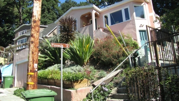
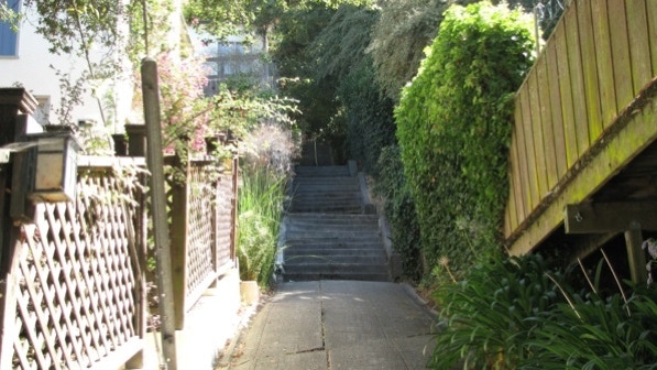
On to well–marked Pinnacle Path.
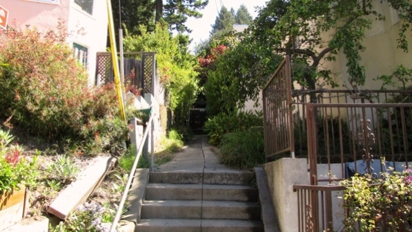
The view up the steps.
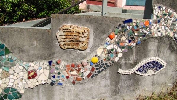
Here is the “mosaic tile tribute to a local woman named Irene Juniper” (page 89).
This is the “imposing concrete home” at 37 or 39 Poppy Lane (page 89).
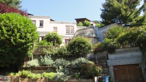
This nicely landscaped home is on Hilldale Avenue. It was built in 1926.
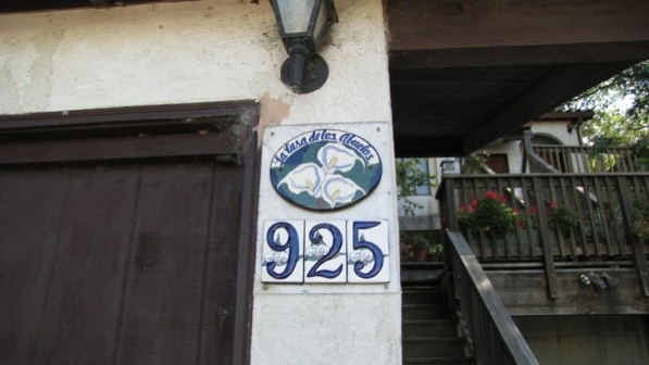
Near the turn to go down Billie Jean Walk is this calla lily tile (yellow pin on the map).
Billie Jean Walk has a good sign, but don’t look for a “small mound of flowering lavender” (page 89) to help out, as it is a flowering sage.
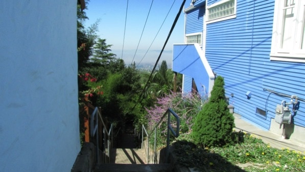
Also, Billie Jean Walk is next to a large blue wall!
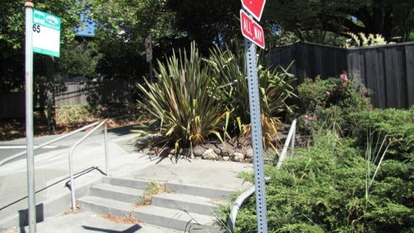
This is the “tiny three–step staircase that serves the AC Transit bus stop (page 90). We are at the bus pin on the map.
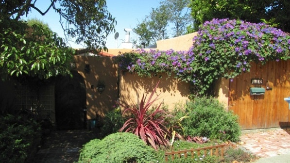
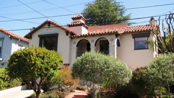
This house (845 Euclid Avenue, built in 1931) has a fine front yard of Mediterranean plants, nice brick work and attractive tiles.
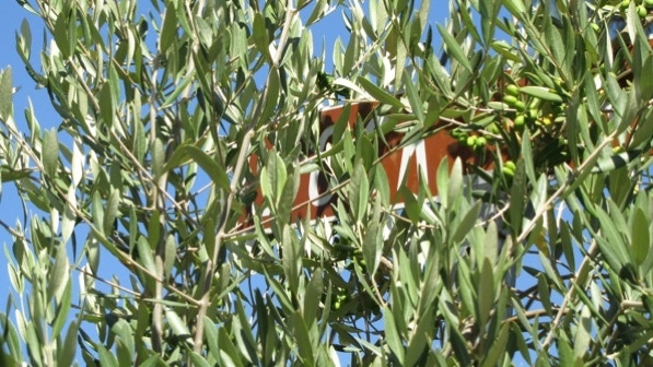
Rock Way’s sign is obscured by this olive tree. There is a bus stop pole just past the entrance to the Way.
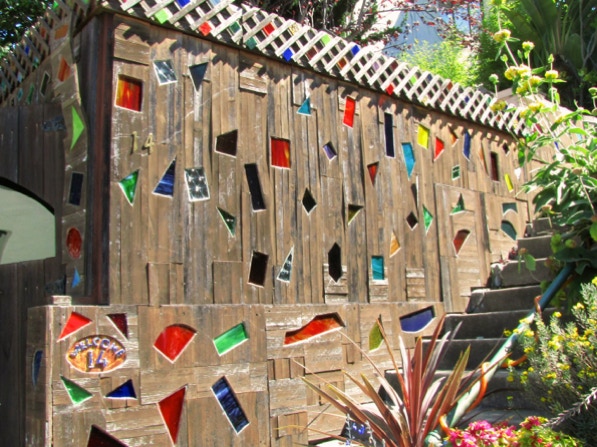
This is the “inset glass design on the garage at 14 Rock Lane (page 90). We are at the Parking symbol on the map.
At the intersection of Cragmont Avenue and Regal Road is one of the impressive pillars seen throughout the hills in Berkeley.
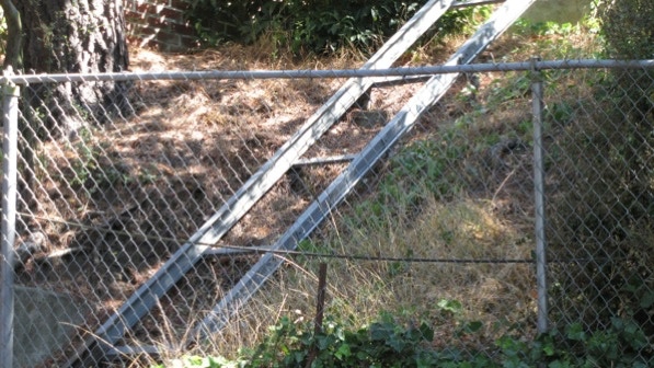
This is the chain link gate mentioned on page 85.

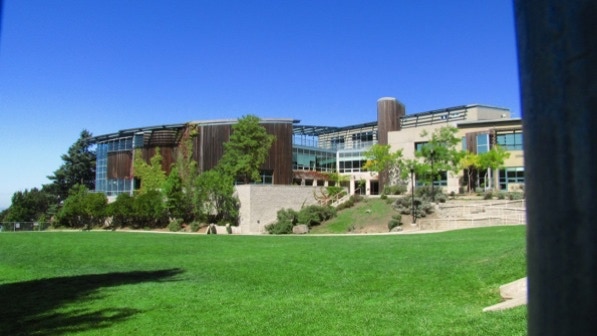
This is the “striking Cragmont elementary” school seen as we walked down Marin Avenue. It is striking.
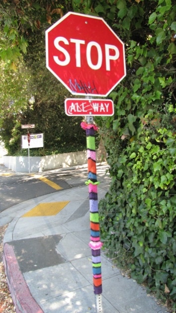
We are in Berkeley, after all, and it’s OK to decorate stop sign poles with colorful knitted fabric.
We are at the red pin on the map.
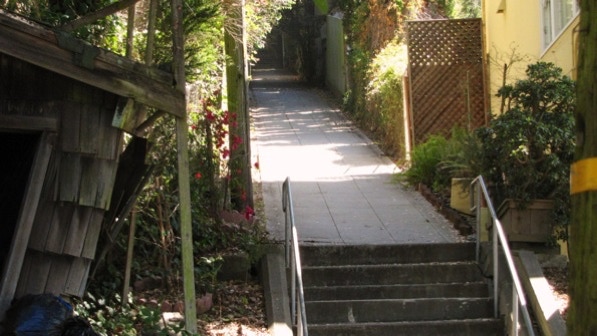
This is the bottom of the Easter Way steps (page 90).
At the top of the first segment of Easter Way is a “funicular trashcan railway” (page 90).
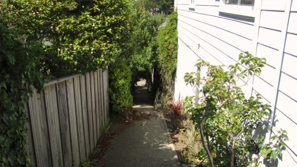
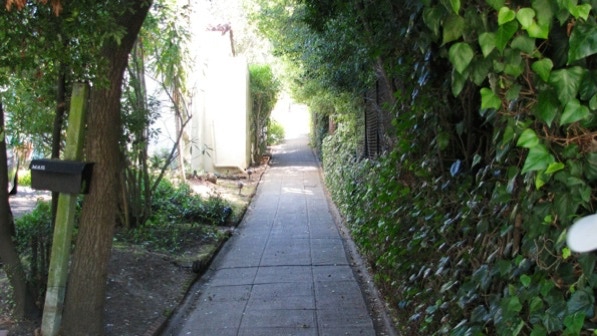
Here is the second segment of Easter Way.
Here is the third segment of Easter Way. Note the mail box.
And we’re done! A pleasant walk and a good exercise. Before the book, we never had paid much attention to this area.
A friend who had undergone foot surgery recently came along on today’s walk. It isn’t particularly tough, but there are some nice views and altogether pleasant.
The book reports 301 steps and 1.5 miles. The step count is close enough, and the distance is 1.1 miles. (distance calculated by Google maps).
Next—Northbrae Rock Paths (out of order).
