
#12—Grizzly Peaks
Walk #12—Grizzly Peaks
Saturday, 1 September 2012
It was 63F and sunny when we started the walk.
Here is a map of the walk (red color). The blue pin is the start of the walk.
Until we started the Secret Stairs walks, we had not been to Glendale–La Loma Park before. Before it became a park in 1969, it was a quarry.
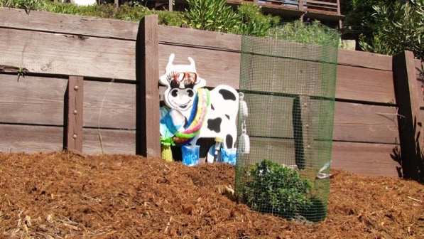
Right at the start of the walk is this artfully decorated retaining wall. Note the straw in the pineapple.
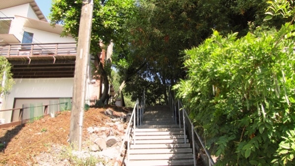
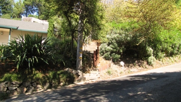
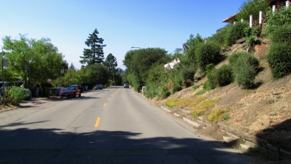
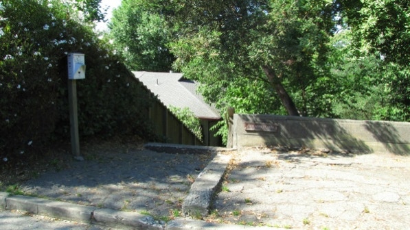
Looking up Glendale Path from the bottom of the stairs (Page 83). The redwoods mentioned on page 83 do not show up well in this picture, but they are there.
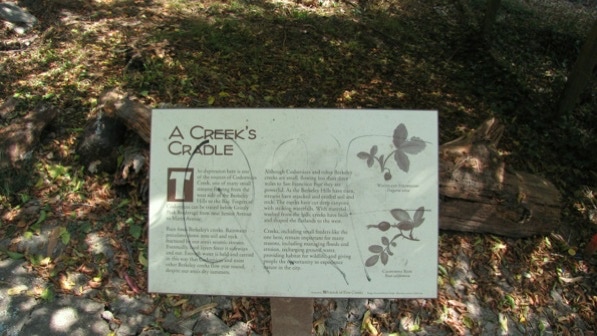
This is the plaque about Cordonices Creek.
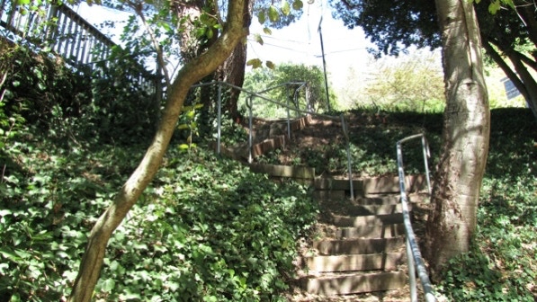
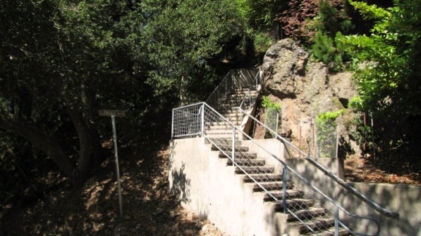
Glendale Path has three sections. This is one with railroad ties.
This is at Glendale Path and Queens Road. When we were here the first time, some volunteers were making the stairs that curve away from the fire hydrant. We were told the BFD (Berkeley Fire Department) did not want the stairs that were near the hydrant. The new steps are much better, too; the old ones were rough, old railroad ties.
And up we went, headed for Fairlawn Drive and the last segment.
Then we walked along Fairlawn to Columbia Walk.
We’ve been here before! We came at this walk from the other direction in Walk #11. The yellow boat has stuck in our memory.
Now were up on Grizzly Peak Boulevard. We’ve been here before, too! Atlas Path starts in a driveway.
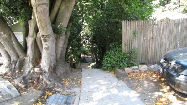
Atlas Path is safe, despite the debris at the bottom.
We are now at the blue truck pin on the map.
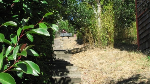
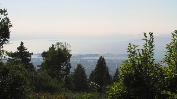
There’s the bench. The difference today is it is sunny. Alas, there is a lot of moisture in the air.
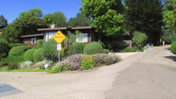
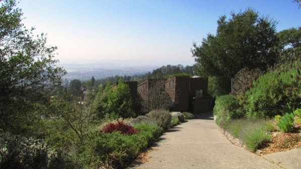
On this walk, we are going to the left of the No Outlet sign (Hill Road).
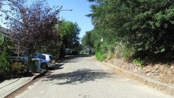
We are walking towards the end of Hill Road (page 85).
The Private Driveway sign does not mean Scott Newhall Path is off limits.
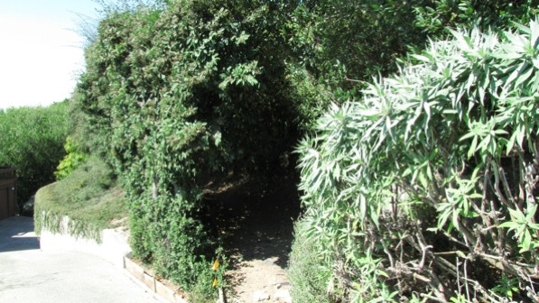
The path goes to the right, through “the tiny dirt track half–hidden in the bushes.”
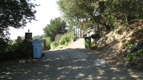
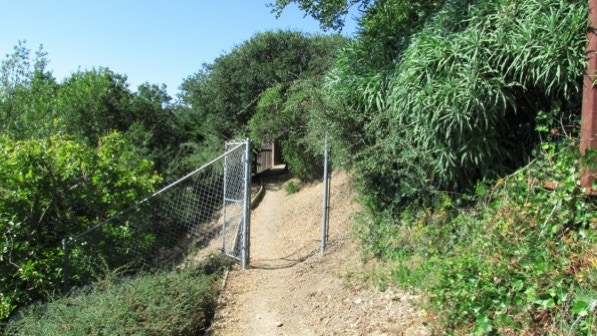
This is the chain link gate mentioned on page 85.

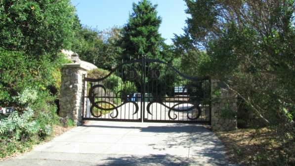
When we got back on the paved Hill Road, we saw this impressive gate. We, uh, Don’t Know.
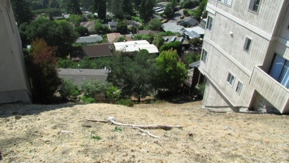
Here’s a vacant lot that shows the lots are quite steep here.
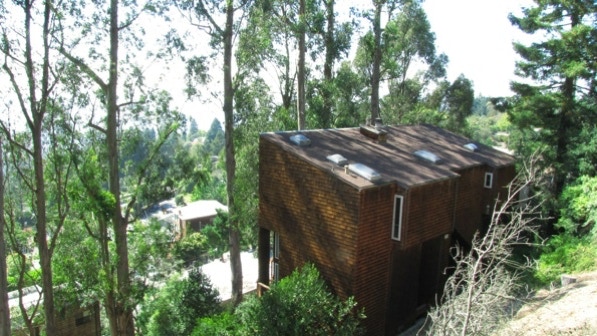
This home looks as if it was built especially for a bay view. Now, eucalyptus trees block the view.
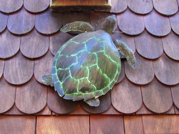
A turtle ornament installed on a roof.
This is the entrance to Park Hills (page 85), close to where Shasta Road meets the end of Hill Road.

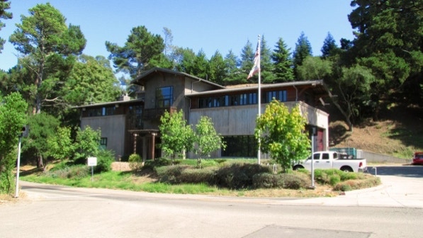
This large fire station of the BFD is across Shasta Road from the entrance to Park Hills. We are near the fire pin on the map.
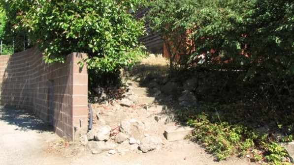
Here is the top of Fred Herbert Path.
Another segment of Fred Herbert Path.
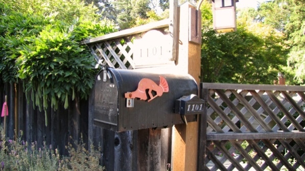
Mail box ornamentation.
The first time we did this walk, we went down the last segment to Wildcat Canyon Road, but couldn’t see much. This time we turned left on Hillview Road. If you do this walk, when you are at the intersection of Hillview Road and Woodside Road, go up these steps.
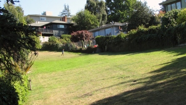
The turn to the right off of Muir Path is up near where the boy is running. He was chasing a balloon that his mother had just shot out his way.
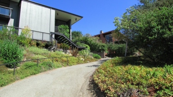
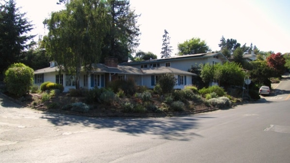
The homes in Park Hills are much newer than the typical home in the Berkeley Hills—they have a very different design.
Back on Grizzly Peak Boulevard, we headed for Stoddard Path.
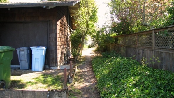
Stoddard Path starts out near a house (page 86). And there are trash cans.
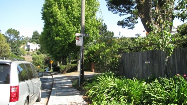
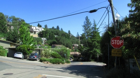
This is the intersection of Miller Avenue and Shasta Road. Shasta Path is just past the stop sign.
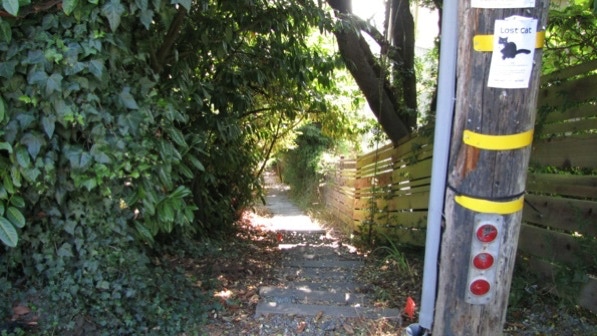
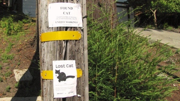
Shasta Path, with a notice of a nice–looking cat that went missing near here.
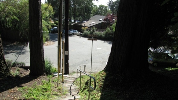
Near the end of Shasta Path.
Someone has misplaced a turtle that weighs fifteen pounds. We are at the green arrow pin on the map.
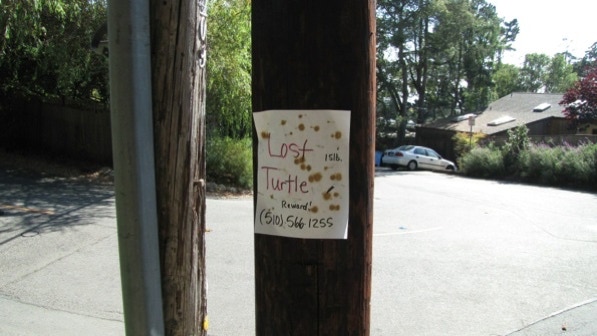
Are both signs referring to the same cat?
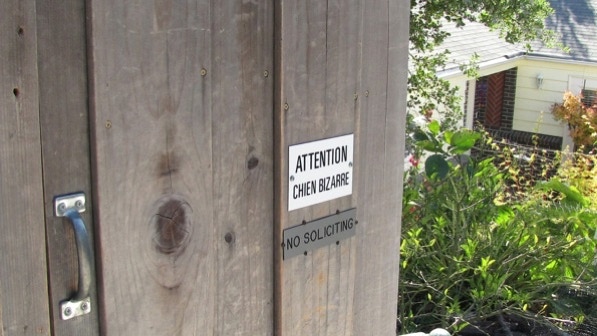
A crazy dog sign.
There’s the artsy retaining wall.
After turning right from Campus Drive onto Glendale Avenue, we could see the electrical substation, out of place up here in the hills.
This walk is a good workout, and Park Hills is interesting, as we had never had a reason to go inside the development.
The book reports 941 steps and 2.5 miles. The step count is close enough, and the distance is 1.7 miles. (distance calculated by Google maps).
Next—Cragmont Rock Park.
