
#11—Terrace View Park
Walk #11—Terrace View Park
Sunday, 26 August 2012
It was 55F with fog when we started the walk. The sun was out over the Bay, however.
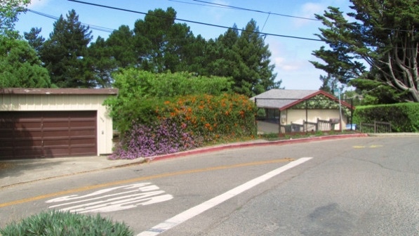
Here is a map of the walk (gray color). The blue pin is the start of the walk—Terrace View Park. Before starting the staircase walks, we had not even heard of this park.
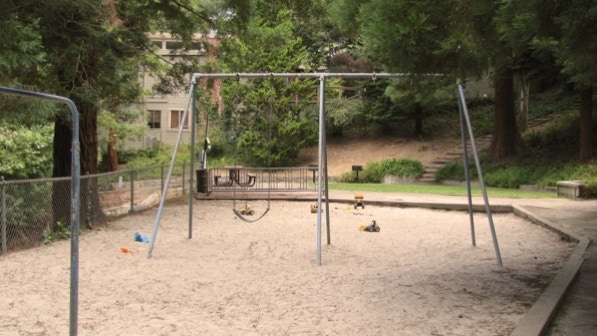
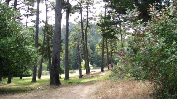
No children, but there were toys in the sand at the park. Steps are visible in the distance.
Here’s another slide, not as steep as the one in “Rose” Walk.

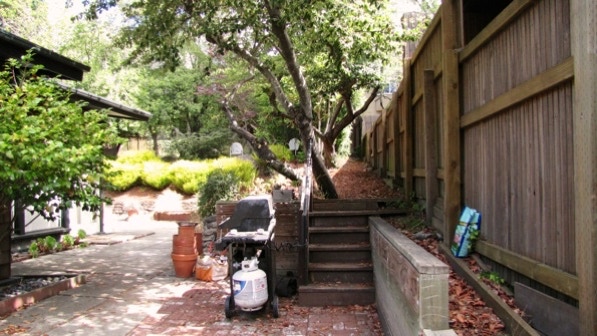
Here is the view up Columbia Walk. The signpost mentioned on page 77 is just to the right of center. It does look like a private residential space. The right side of the path is public, though. Take the steps to the right of the propane bottle.

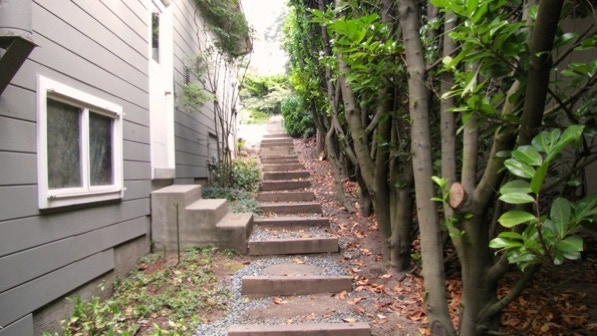
Here are the railroad tie steps mentioned on page 77.
Here’s the view up on Grizzly Peak Boulevard. We’re heading for the large bush with the trash cans on the right side of the street.
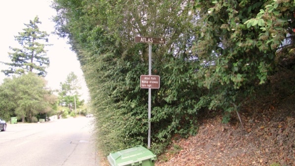
Atlas Path has a sign, but the path is on the other side of the bush. We are at the green pin on the map.
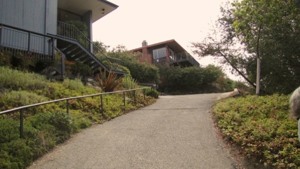
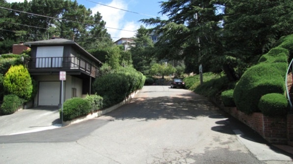
This is the driveway mentioned on page 78. Atlas Path is up and to the left.
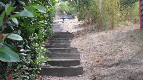
More railroad ties, with the “very welcome bench” (page 78). The book reports there is a good view from the bench.
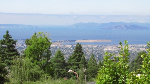
There is a lot of moisture in the air. The Golden Gate Bridge is to the left of center. The Berkeley Marina is to the left of the rectangular, bare island. The white dots on the Bay are sailboats.
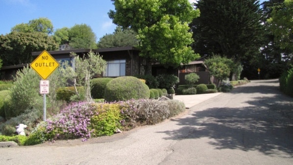
The street to the right of the yellow “No Outlet” sign is the correct route. We are heading for the second yellow sign, back in the shade of the trees.
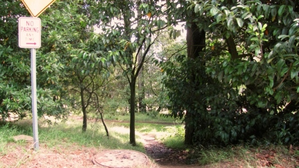
We’re now leaving Berkeley and Alameda County and entering Contra Costa County. The Selby Trail is just ahead.
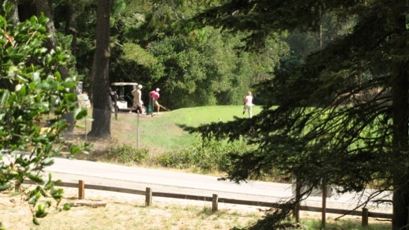
Walking along Selby, we saw the Tilden Park Golf Course.
This photo was taken towards the end of the trail.
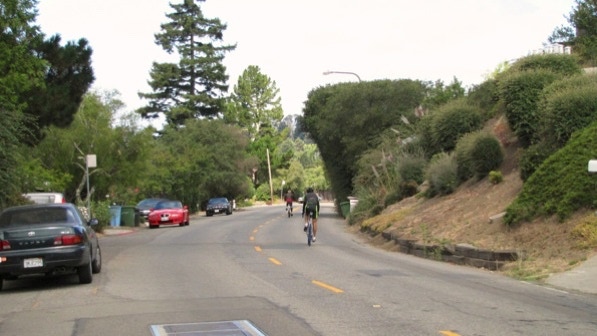
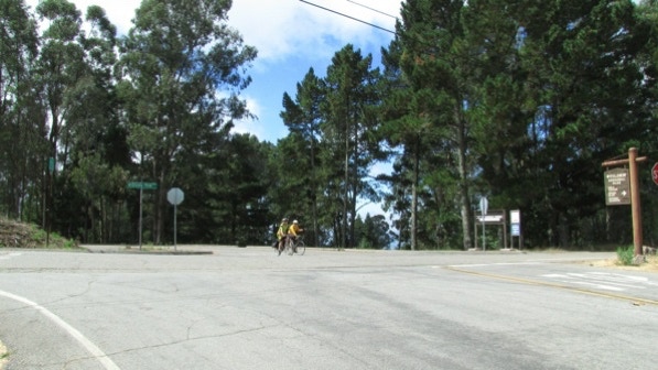
This intersection (we are in Oakland right now; see the green street signs) was a bit tricky, but the proper direction is to aim for the stop sign to the left of the pair of bicyclists. Then turn left. We are at the green pin on the map.
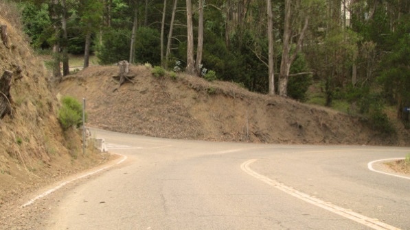
This is the left turn onto Gauss Way. Compare the sun in the photo above with the cloudy view below. The two photos were taken very close together.
We walked between two large buildings belonging to the University (Space Sciences Laboratory) and turned right at the building housing the Mathematical Sciences Research Institute.
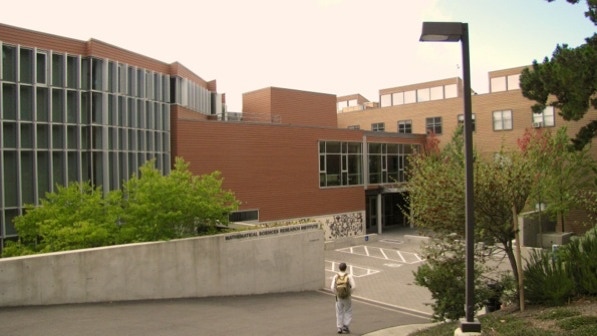

That building is Shiing–Shin Chern Hall. Shiing–Shin Chern has an impressive biography.
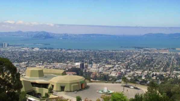
Just a bit farther on, we came out on to the steps going down to the Lawrence Hall of Science. The book (page 80) mentions the view. Oh.
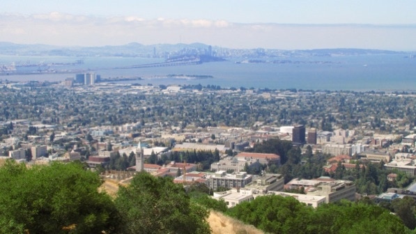
San Francisco is in the distance. We are high enough up that the Campanile isn’t visible. We are at the camera pin on the map.
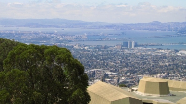
This is the view looking southwest. The Port of Oakland’s cranes are visible above the eucalyptus trees. The high rise buildings to the right of center are in Emeryville.
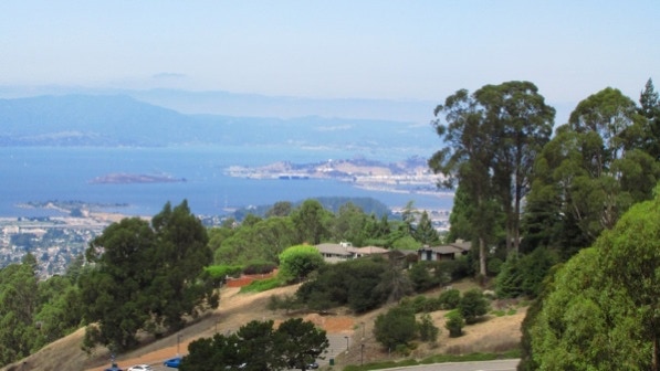
Looking northwest towards Richmond. In the distance is Mount Tamalpais in Marin.
We deviated just a bit from the book here, and went out onto the plaza at the Hall of Science. The Fin Whale replica is life size. That’s a human by the rear flipper. We are a the red triangle pin on the map.

From the plaza the Campanile is visible, left of center.
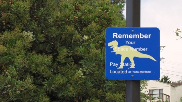
The parking lots up here have signs depicted with different species of dinosaurs.
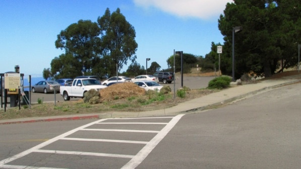
Back on the proper route, we aimed for the parking lot in the center of the photo.
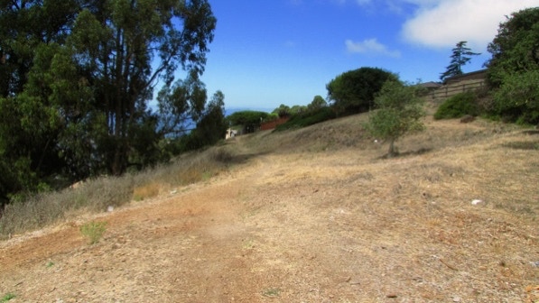
The trail isn’t well marked, but it is easy to spot. We are heading for the house in the middle of the photo.
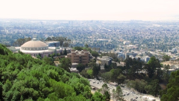
The building with the dome is inside the boundary of the Lawrence Berkeley National Laboratory. We’re guessing, but the buildings up on the hill that are surrounded by barbed wire fencing are a part of the National Laboratory, which the University runs for the US Department of Energy. The buildings without the wire (eg, the Mathematical Sciences Research Institute’s Siing Shin Chern Hall) are a part of the University of California.
We are now at the yellow pin on the map, and in the book, we are at the bottom of page 80.
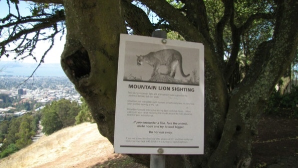
At the yellow pin, we came across a warning about mountain lions in the area, and instructions on what to do if we see one. “Do not run away.”
Wilson Walk (in the book it’s called Wilson Path, page 81) is up this street.
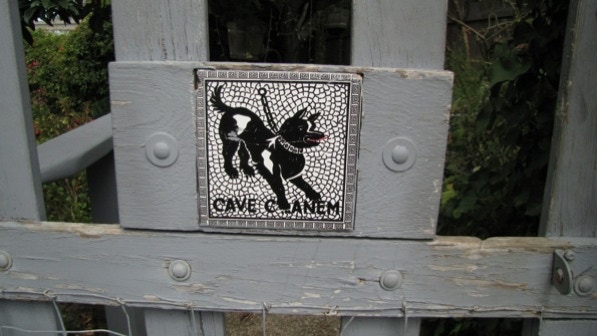
Another nice sign.
This is the intersection of Grizzly Peak Boulevard and Senior Avenue. We went down to the left.
Pansies at the entrance to a home.

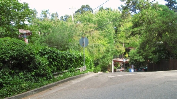
This is the intersection of Fairlawn Drive and Avenida Drive. Terrace View Park is just down the street.
This is walk begins in Berkeley, moves on into Contra Costa County, then to Oakland and then back to Berkeley. This walk has spectacular views.
The book reports 544 steps and 2.3 miles. The step count is close to our count, and the distance is 2.2 miles. (distance calculated by Google maps).
Next—Grizzly Peaks.
