
#16—Great Stone Face Park
Walk #16—Great Stone Face Park
Saturday, 8 September 2012
It was a 60F and sunny at the start of the walk.
Here is a map of the walk (green color). The blue pin is the start of the walk.
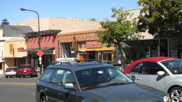
The starting point features a busy retail strip on Solano Avenue going west towards the Bay.
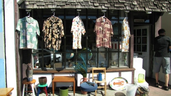
Not quite Aloha shirts, but an interesting display at this shop.
We turned right onto Colusa Avenue. The “sprawling Thousand Oaks Elementary School” is on the left, by the tree. In Berkeley, drivers stop for pedestrians in crosswalks!
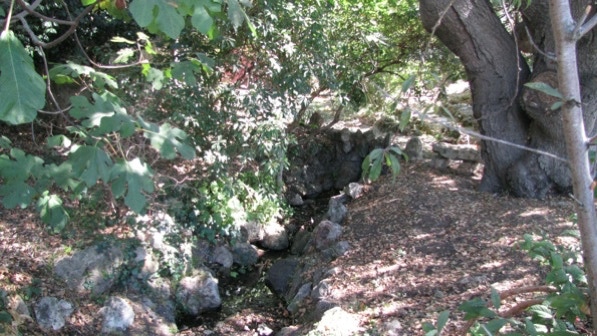
Capistrano Creek isn’t identified on the map in the book, nor is it on Google maps. It is on this map, though.
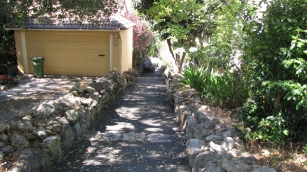
This is the good looking group of boulders with the “charming walkway” carved into the stone (page 105).
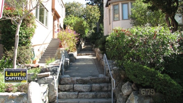
One house farther on, we reached the first staircase, El Paseo Path. It’s easy to spot.
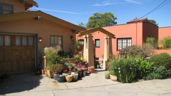
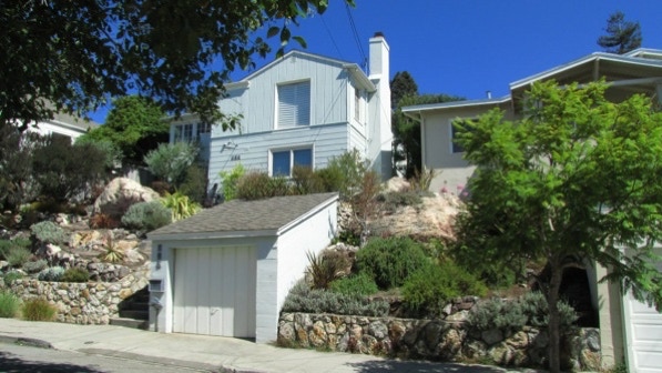
Across Vincente Avenue from the El Paseo Path entrance is this nice looking home.
We crossed Santa Rosa Avenue and continued up El Paseo Path.
This is the upper end of El Paseo Path on The Alameda.
Here is “remarkable use of stone at 641 (The Alameda; page 106).”
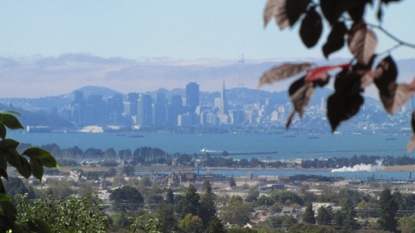
There is quite a view here.
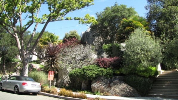
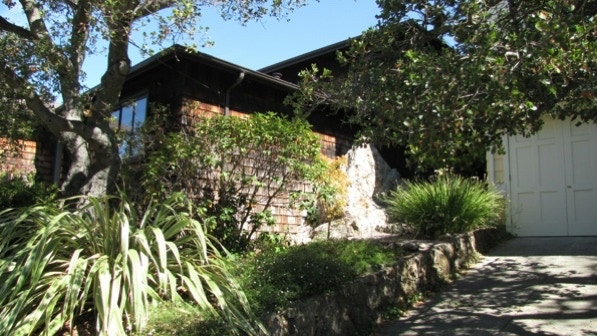
More big rocks! This house is the third along The Alameda from El Paseo Path.
This is the “oversized stone urn” which marks the turn for Indian Trail.
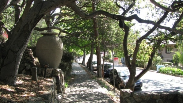
We are at the flag pin on the map.
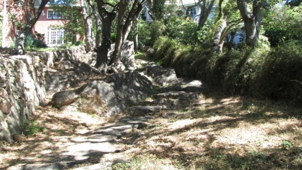
It looks like rough going, but it turned out to be ok. The book calls it “rustic.”
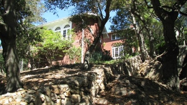
This house was built in 1915 (page 106). In the 41 book, it’s #18 on Tour No. 39.
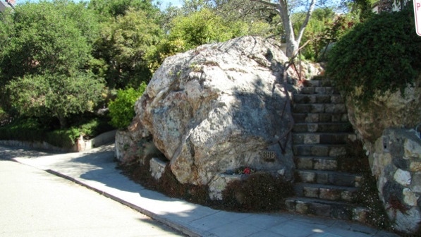
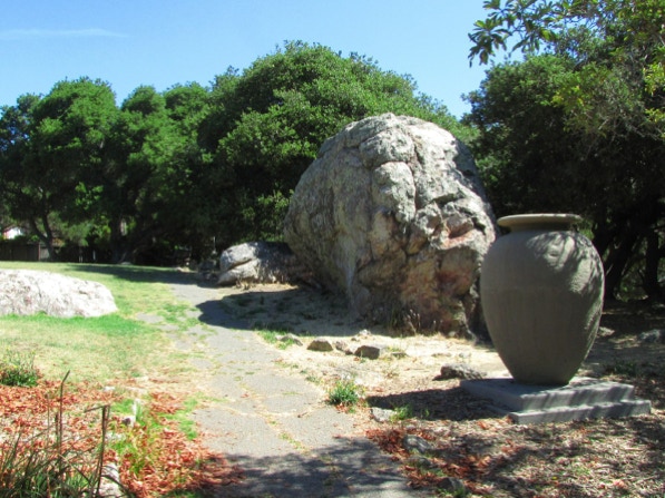
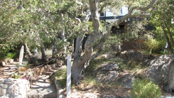
It turns out the only original urn was the one down on The Alameda. The rest are new replicas. This is the Great Stoneface rock.
The Robert Leavens house mentioned on page 108 is not easy to see—there are many trees. We turned left on to San Juan Avenue. The book references several old houses (page 108). They are also in the 41 book. However, they also are not easy to see. This is 1831 San Juan, built in 1914.
This is the 1915 house attributed to Maybeck at 1827 San Juan Avenue.
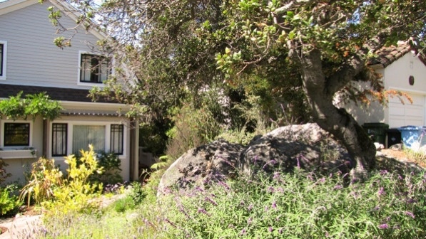
This house looks like it was built around a boulder.

We made our way along the route to Vincente Walk, which is well marked.
We are at the yellow push pin on the map.
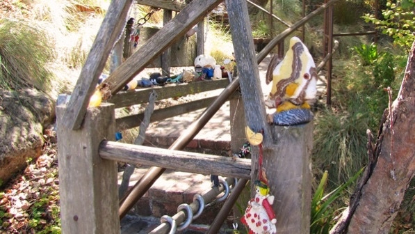
Some toys at 495 Vincente Avenue.
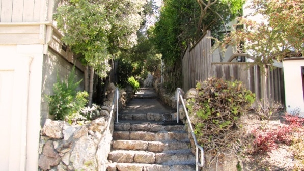
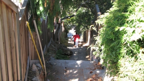
Not far after this is the turn up Visalia Steps.
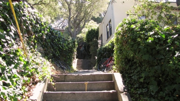
We took a lot of photos of houses with large boulders around them. Here’s another one, right at the top of Visalia Steps.
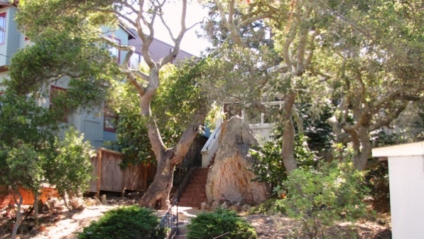
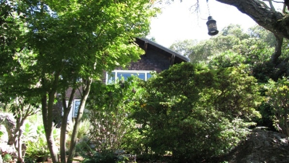
This is the “charming oak tree” in the center of Menlo Place. We noticed a round observation deck on a house farther on. It’s off the route a bit, but we went to take a look.

Two chairs and a fine view of the Golden Gate; they would not have the wires obstructing the view.
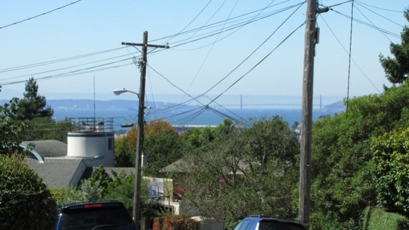
The oak tree is the tree pin on the map below, and the house with the observation deck has a yellow house pin.
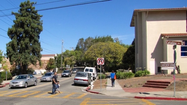
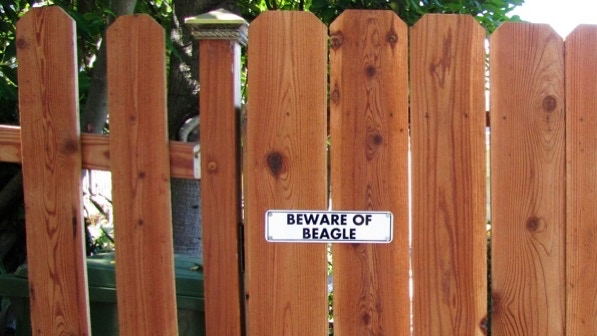
Signage in Berkeley can be funny!
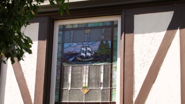
This is the “clipper ship” window at 620 Santa Rosa Avenue (page 109). We’re at the boat pin on the map.
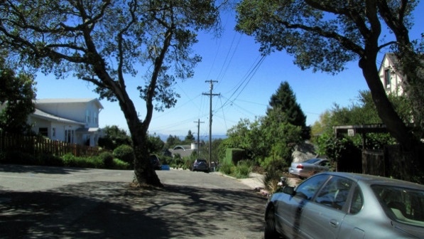
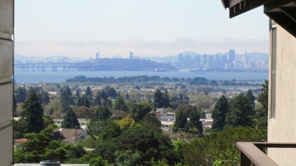
The views between houses are good. On the left is the replacement Bay Bridge, under construction.
At 639 Santa Rosa Avenue, another rock and house combination.
We worked our way down to Colusa Avenue and back to the starting point. When we did this walk the first time, we saw three deer standing in Capistrano Creek as we walked back to Solano Avenue!
While this walk is named after one large boulder, there so many along the way that we lost count. It’s Thousand Oaks, but it could be Thousand Boulders, too!
The book reports 336 steps and 2.3 miles. The step count is right, and the distance is 2.2 miles. (distance calculated by Google maps).
Next—Acacia Walk.
