
Dogpatch to Mission Dolores
Dogpatch to Mission Dolores
Saturday, 31 July 2010
We started by taking a streetcar from Market Street back out to Third and 23rd. From there we walked a few blocks along Third until we came to Cesar Chavez Street, where we turned right.
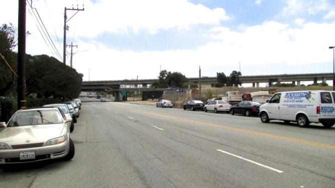
We are back on the 49 mile drive now, and the street is dreary. Above is a look back at Interstate 280.
The sun is just starting to come out to the east, and the temperature is in the high 50s.
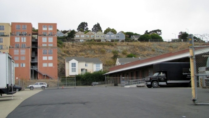
They don’t waste much space in San Francisco. Here are some houses on flat land, but the road access to them is indirect.
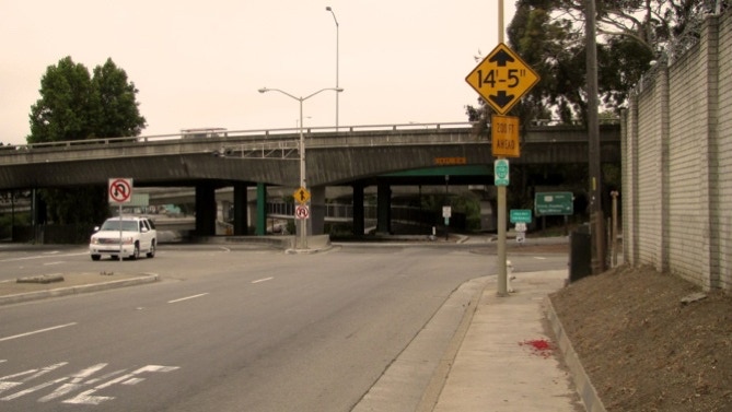
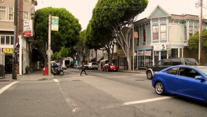
When we reached Highway 101, we made a decision to leave Cesar Chavez, and to work our way over to 24th Street, which has pedestrian activity. Before doing that, we had to get across the freeway. It isn’t as easy as it should be—there’s a path, but it’s for bicycles only. Why? But we made it under and over to Portrero Avenue, where we turned right.
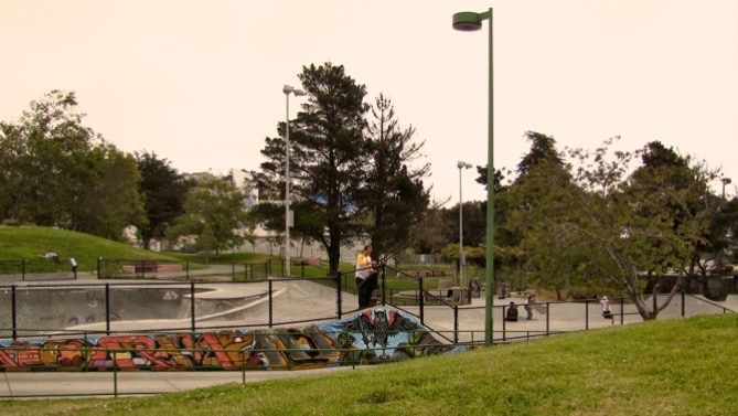
The first thing we saw was a fellow sleeping on the sidewalk. Then we saw the baseball park, the tennis courts and the well used skateboard area that make up Portrero del Sol park. And more people sleeping outside.
The sun was still shining to the east.
Here is our route. We deviated from the 49 mile drive by turning off of Cesar Chavez Street at Portrero; the drive continues up to Dolores Street. We missed about a dozen blocks on Cesar Chavez, and three blocks on Dolores Street. After today, we’ve covered about 30 miles.
Back to the walk. After the bow and arrow is the Bay Bridge. The traffic on it is louder than it sounds while driving in a car. Yerba Buena Island is in the distance.
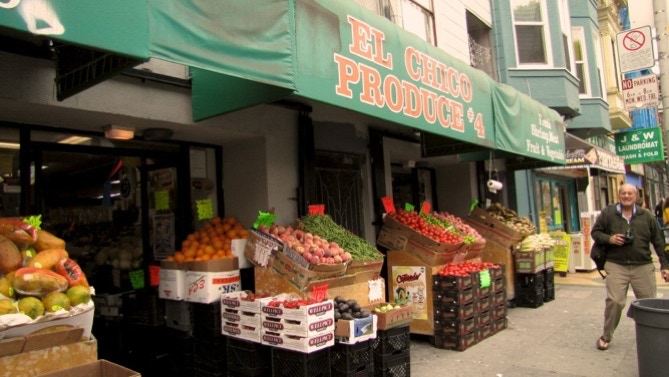
Wow, when we turned up 24th Street, it was a different world. Lots of little shops and nice trees.
Wow, when we turned up 24th Street, it was a different world. Lots of little shops and nice trees. We must be in the Mission District.
We saw lots of coffee shops, some with counters and round stools. There is no shortage of laundromats in the area.
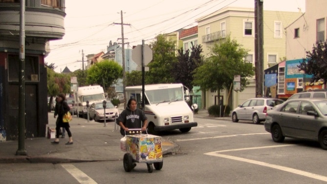
We also saw cart vendors, with the bells always tinkling.
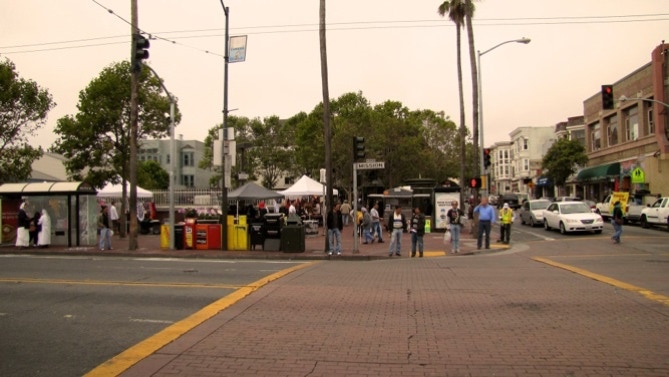
At Mission Street there is a subway entrance. Lots of things were for sale, and in the back a small band was playing salsa music.
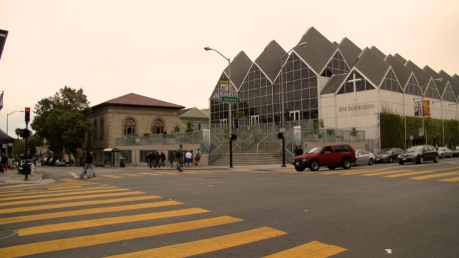
Another block brought us to the nice library and the church with the distinctive roof line.
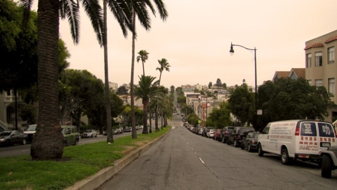
This is a view down Dolores Street, looking north.
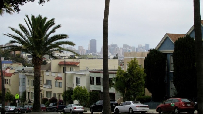
A block or two later, we could see downtown in the sunshine.
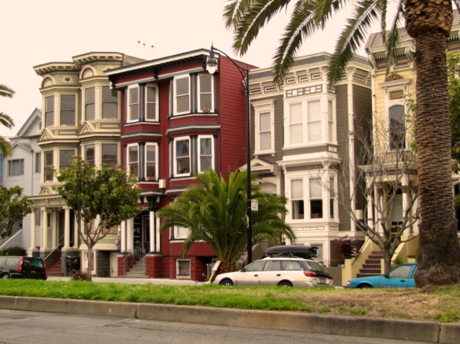
Here is a view of some of the houses in the area.
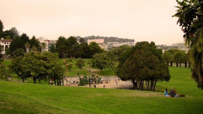
This is a part of big Dolores Park.
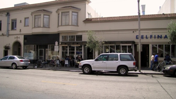
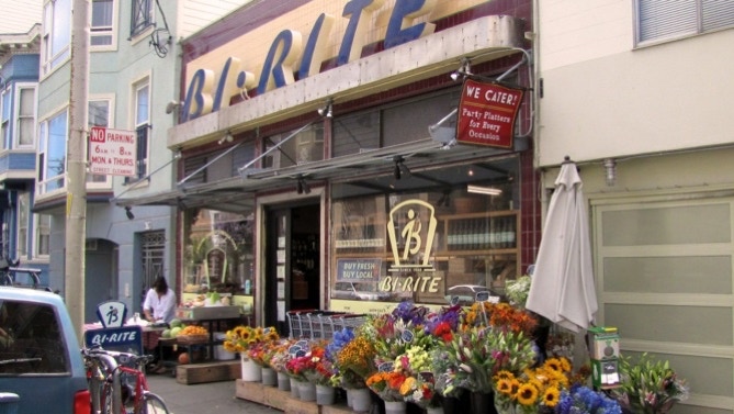
We were almost at the Mission, but we decided to have lunch and wait out the sun. Delfina on 18th Street makes an excellent pizza, and the nearby Bi–Rite Market is worth a visit.
Sure enough, after lunch the sun was out. This is a part of Mission High School.
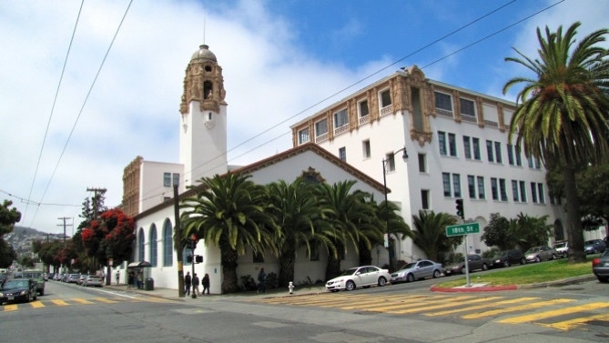
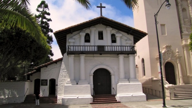
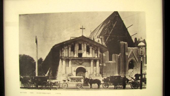
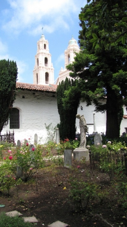
The Mission is at 16th Street and Dolores. This is the oldest building standing in San Francisco, and withstood the earthquake and fire of 1906. There is a nice little museum inside.
The photo above is inside the Mission, and this is just a hand held shot of it.
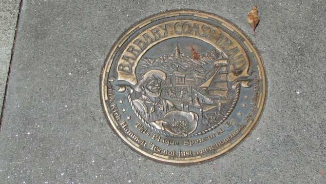
Outside on the sidewalk is a monument showing yet another possible future walk, the Barbary Coast Trail.
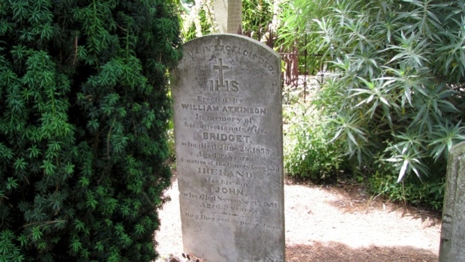
There is a cemetery at the Mission. The link above has more information on it, but here is a sample from 1853. Bridget was 39, and a native of Ireland.
Here’s a sunny view.
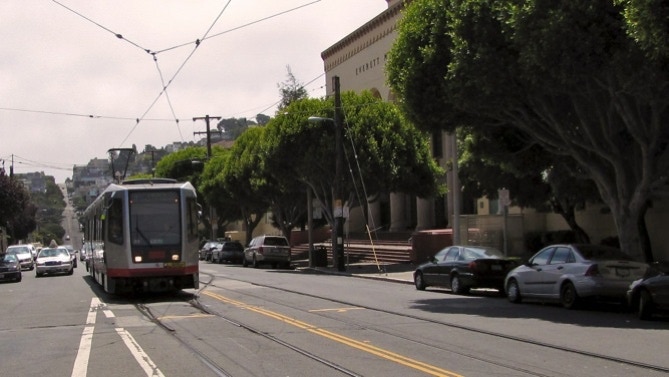
After this, we went up 16th Street a block to Judah, and caught a streetcar back to downtown.
Progress to date: about 30 miles.
We began today by taking a streetcar from Market Street back out to 23rd Street and Third Street, and proceeded along Third, right on Cesar Chavez, and then working our way over to 24th Street up to Dolores Street and the Mission.
Next—Not certain. We are going up to Twin Peaks, but won’t know if we will make it in one go.