
The Ferry Building to Dogpatch
Ferry Building to Dogpatch
Sunday, 18 July 2010
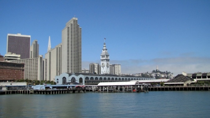
We started at the Ferry Building on a sunny morning, temperature about 63F. We walked out to the end of Pier 14 (see map below), then proceeded along the Embarcadero towards the Giants’ ball park.
The photograph above and the one below were taken from the end of Pier 14, open space for the public. The fog pushing through the Golden Gate is visible on the far side of Coit Tower.
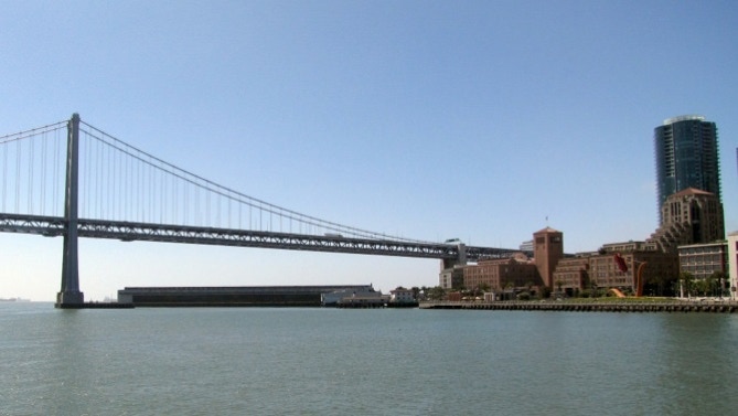
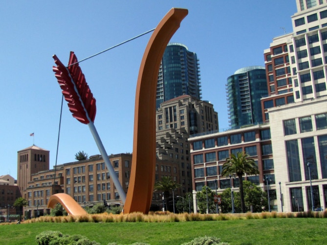
Here’s a close up of the area near the Bay Bridge. The tower with the flag on the left is the former headquarters of Hills Brothers Coffee, now occupied by Google. The bow and arrow is titled “Cupid’s Span,” and was donated by the founders of the Gap clothing company, which occupies the white building on the right.
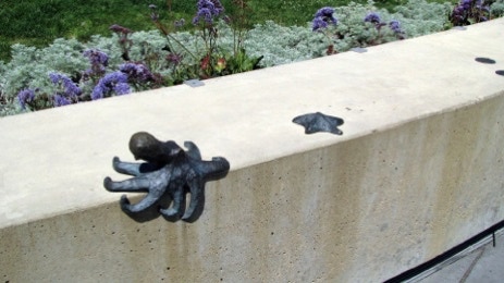
Here is another bit of art, but on a smaller scale than Cupid’s Span.
Our walk today is not exactly along the route of the 49 mile drive. That’s in part because the cars are supposed to be on Interstate Highway 280, which isn’t a good idea for pedestrians. So we improvised.
Instead of getting on the freeway at King Street, we will walk along Berry Street, Across China Basin on Fourth Street, proceed through Mission Bay, and then out on Third Street to Dogpatch.
Back to the walk. After the bow and arrow is the Bay Bridge. The traffic on it is louder than it sounds while driving in a car. Yerba Buena Island is in the distance.

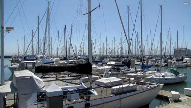
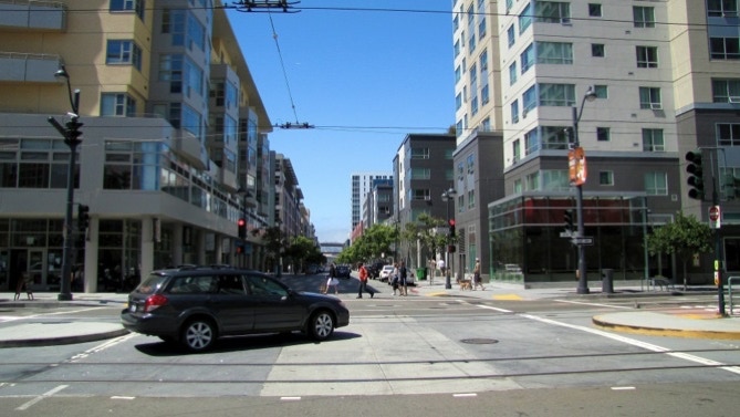
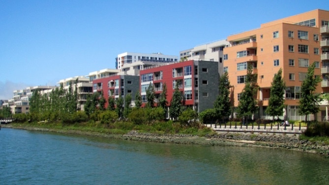
This is South Beach Harbor. The area has really been improved since the 1989 earthquake. Across the Embarcadero are quite a few new apartments.
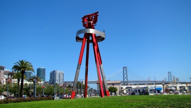
More art, too. This is “Sea Change,” and it is 60 feet tall.
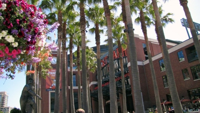
Just up from Sea Change is the home of the San Francisco Giants baseball club.
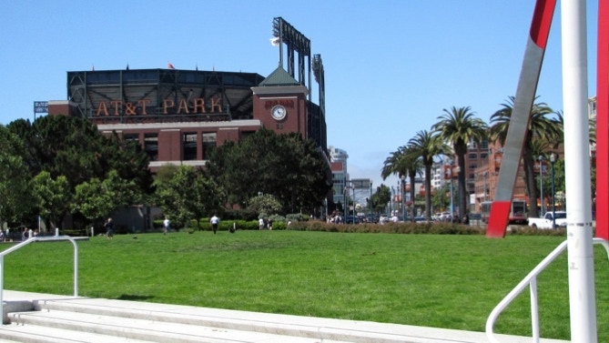
It’s nicely done, and on game days has the hustle and bustle of Fenway Park. Below is a statue of Willie Mays, the best player, ever.
Just past the ball park, the neighborhood changes. This is Berry Street, with quite a few new offices and homes.
This picture was taken from the Fourth Street Bridge, looking back at the ball park and the Lefty O’Doul Bridge. The kayaks will move closer towards the right field area of the ball park when the game starts. They’re hoping to catch a home run.
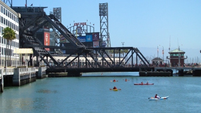
This is a view in the other direction, looking up the creek.
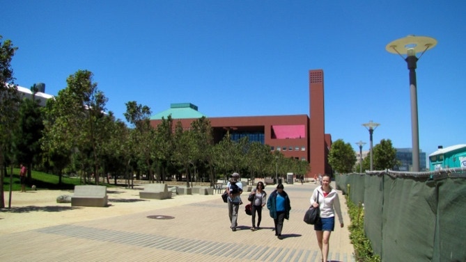
Now we are on Fourth Street, heading into the new campus of the University of California. It’s all devoted to medicine. It’s already huge, and the construction isn’t close to being completed. This is one part of the Mission Bay area.
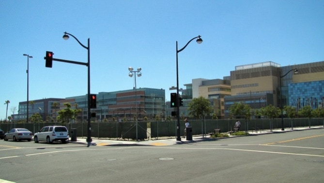
Here is another. This area is ground central for medical research in the United States.
Just a couple of blocks away (now on Third Street) there is some of the old industrial area still standing.
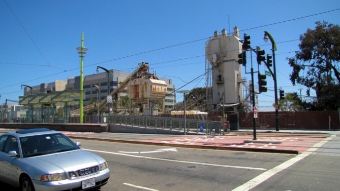
Ships unload nearby.
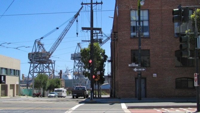
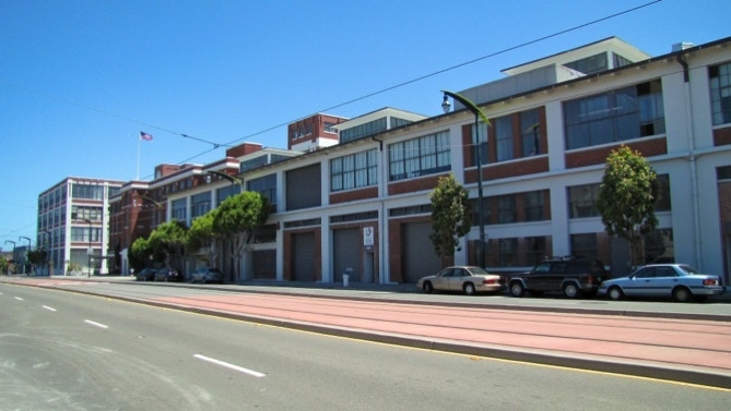
The area has some nice old buildings. In the median of the street is the relatively new “T” streetcar line. We’ve been following it for much of the walk today.
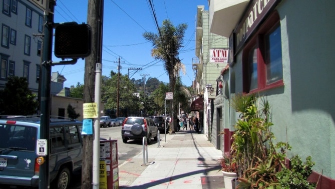
We’re now in the Dogpatch district, looking up 22nd Street. There is a fair amount of activity here, with several restaurants. Dogpatch survived the earthquake and fire of 1906.
That’s it for today. We walked up to 23rd Street and took the streetcar back to Market Street and lunch.
Here’s the progress so far.
We began today back at the Ferry Building, and proceeded down the Embarcadero, across China Basin on the Fourth Street bridge, out across the developing University of California campus, and then out Third Street to Dogpatch.
Next—out to Cesar Chavez , then up 24th Street to Dolores Street and the Mission.