Big Water, Utah
Monday, 9 September 2013
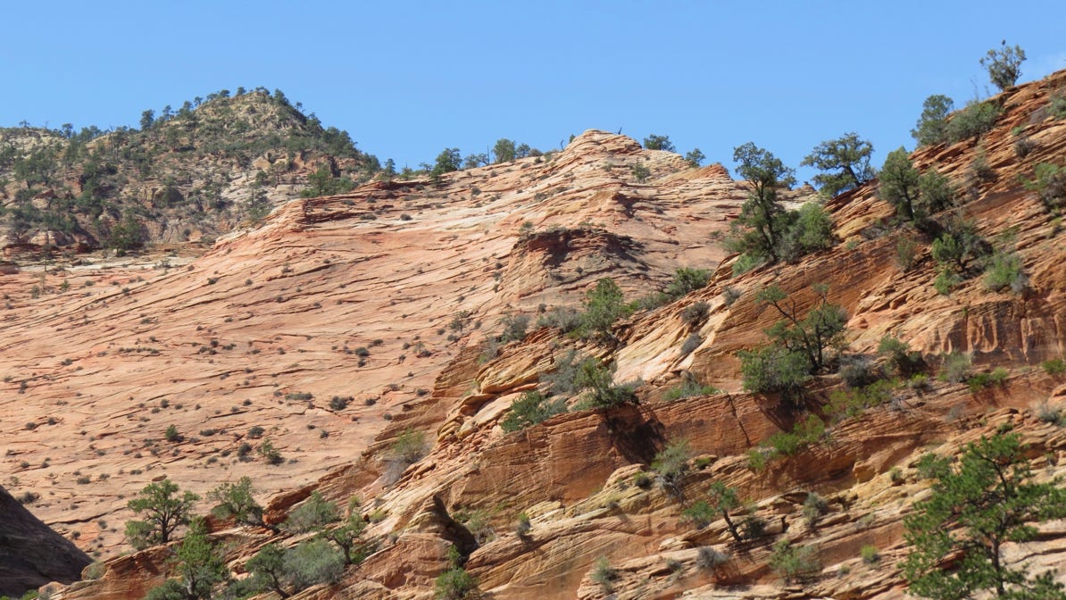
After checking out of our hotel in Sprindale, we drove east across Zion Park and up through the Zion–Mt Carmel tunnel. When we came out of the tunnel, the scenery was different—the rocks had layers, like a giant onion.
Here’s the map of our trip from Springdale to Big Water. The yellow house pin on the right side of the map is our hotel in Big Water. Our route was along the blue line, via Kanab. The total distance is a little over 100 miles (160 km).

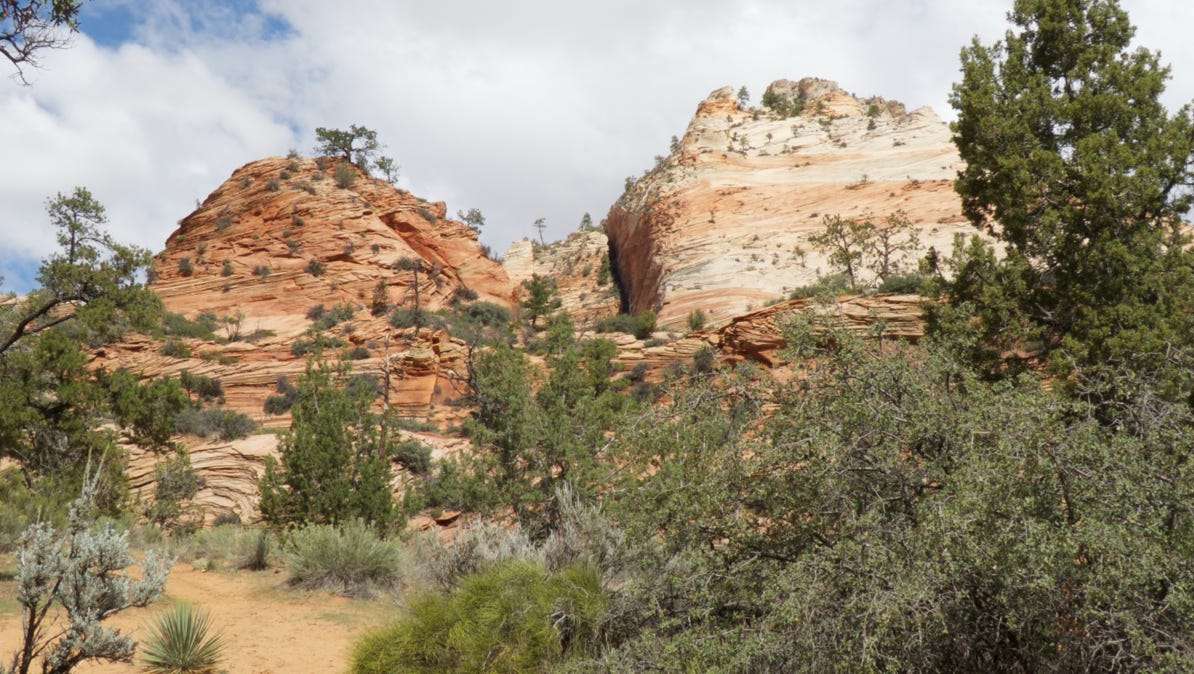
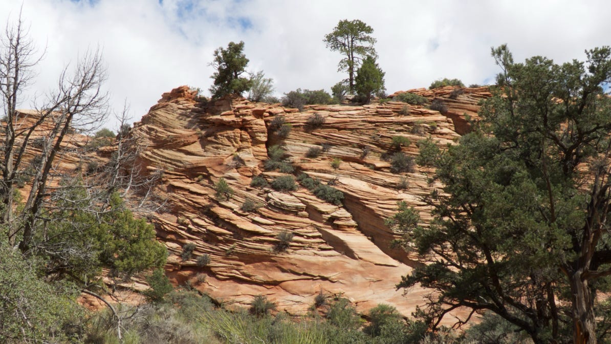
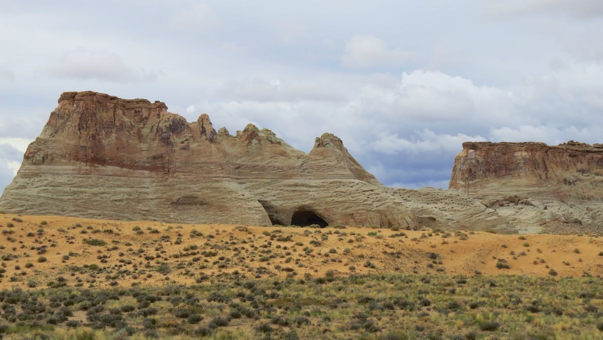
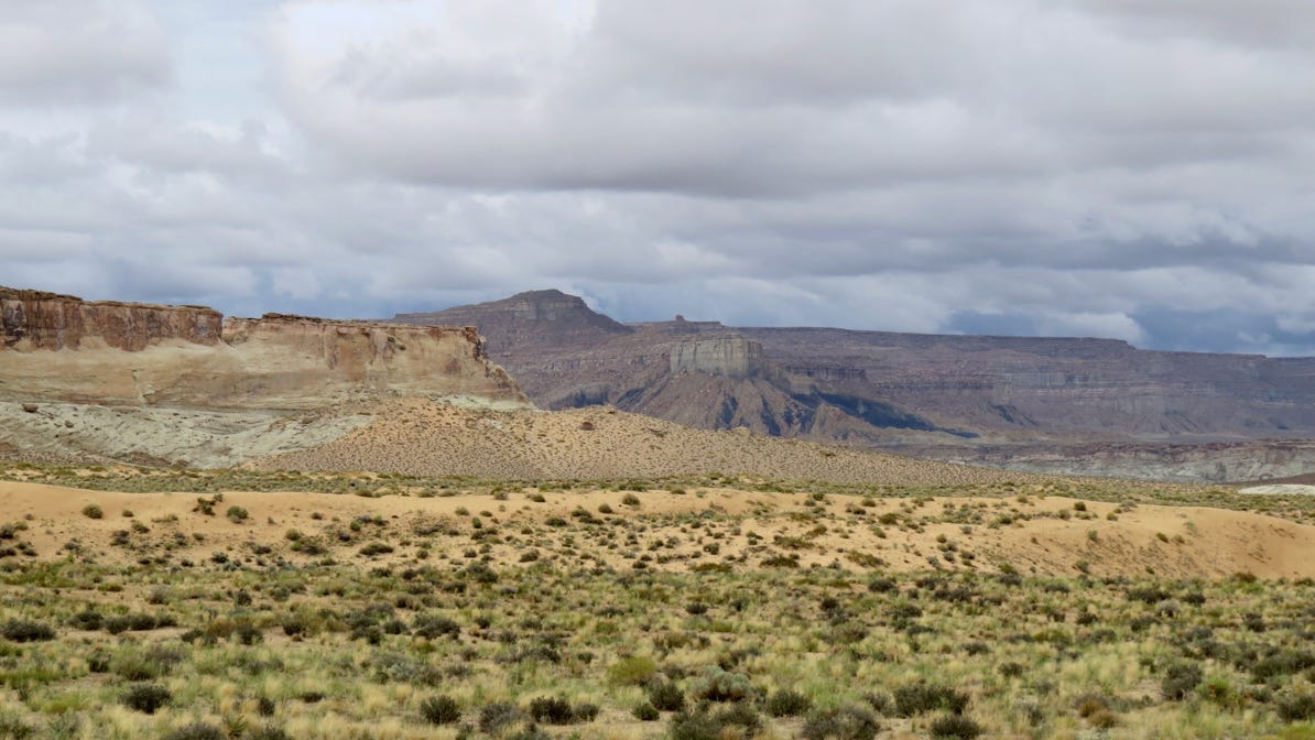
Here are three more photos of the area not far from the tunnel. Slick Rock, it’s called.
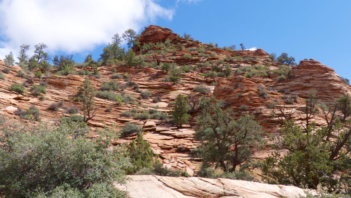
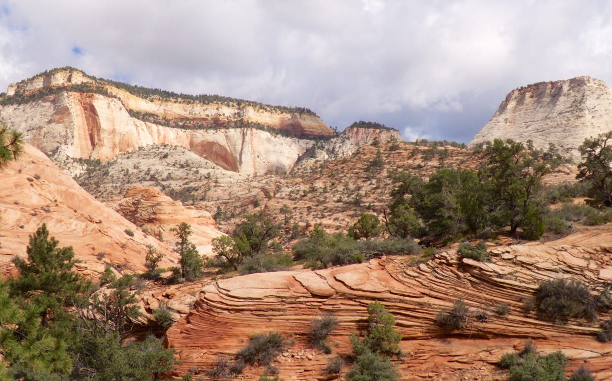
This is a good view of the layers of rock.
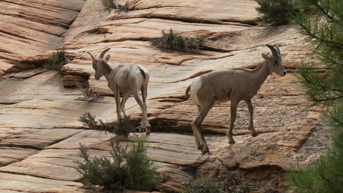
Not far down the highway, we came across a herd of big horn sheep.
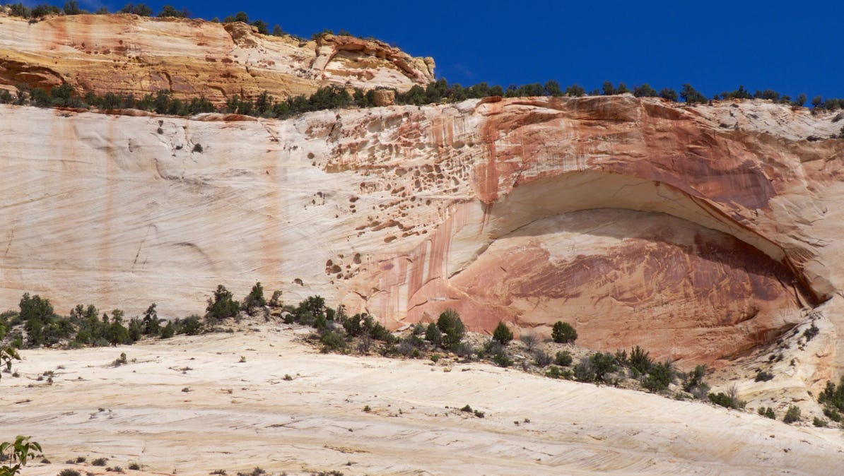
Before leaving Zion Park, we came across this large exfoliation.
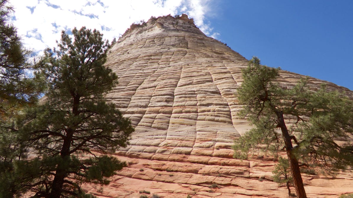
The Checkerboard Mesa is not far from the park’s exit. It is made of Navajo sandstone.
We drove through Big Water—an interesting town established for construction of Glen Canyon dam—and down a side road to our hotel.
It was cloudy as the sun was setting, and the views were quite nice.
Here’s a close up of the map showing the area around Big Water. Our hotel is the yellow house pin. Tomorrow, we’ll be going to the dam near Page, Arizona and on to the spot marked with the camera pin.
We drove from Springdale, through Zion Park, and to the east to Big Water, Utah.
Next—Walks in the area of Big River and Page, Arizona.