Zion National Park, Utah
Saturday, 7 September 2013
We flew from the Bay Area to Las Vegas, and after getting into our rental car, we drove off across Nevada on Interstate 15 at 75 miles per hour, the legal speed limit.
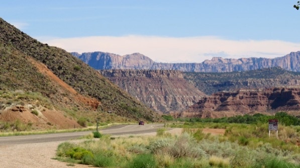
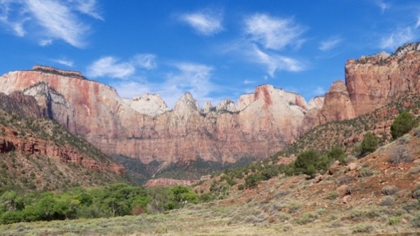
When we crossed into Utah, the scenery was quite nice. Here’s a good view of a mountain range.

Here’s the map of our trip from Las Vegas to Springdale, Utah. We stayed about a half mile from the entrance to Zion National Park.
The yellow house pin is where we stayed. Our route was along the green line. At Hurricane, we drove along the red line.

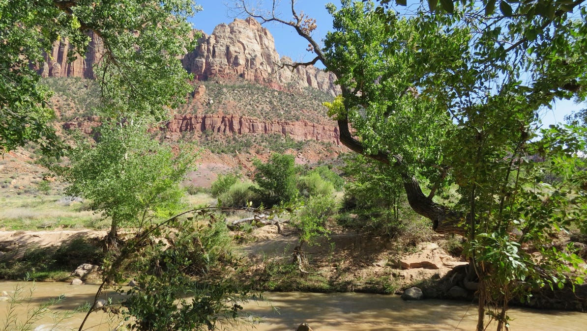
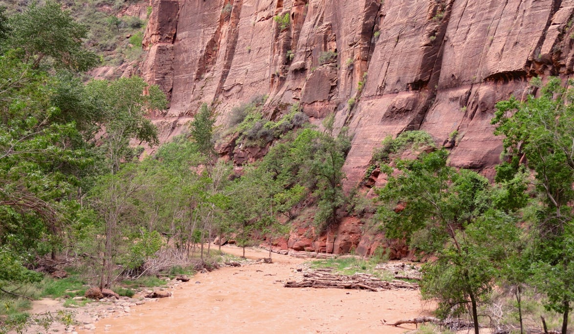
Here’s a view of the (muddy!) Virgin River from our hotel.
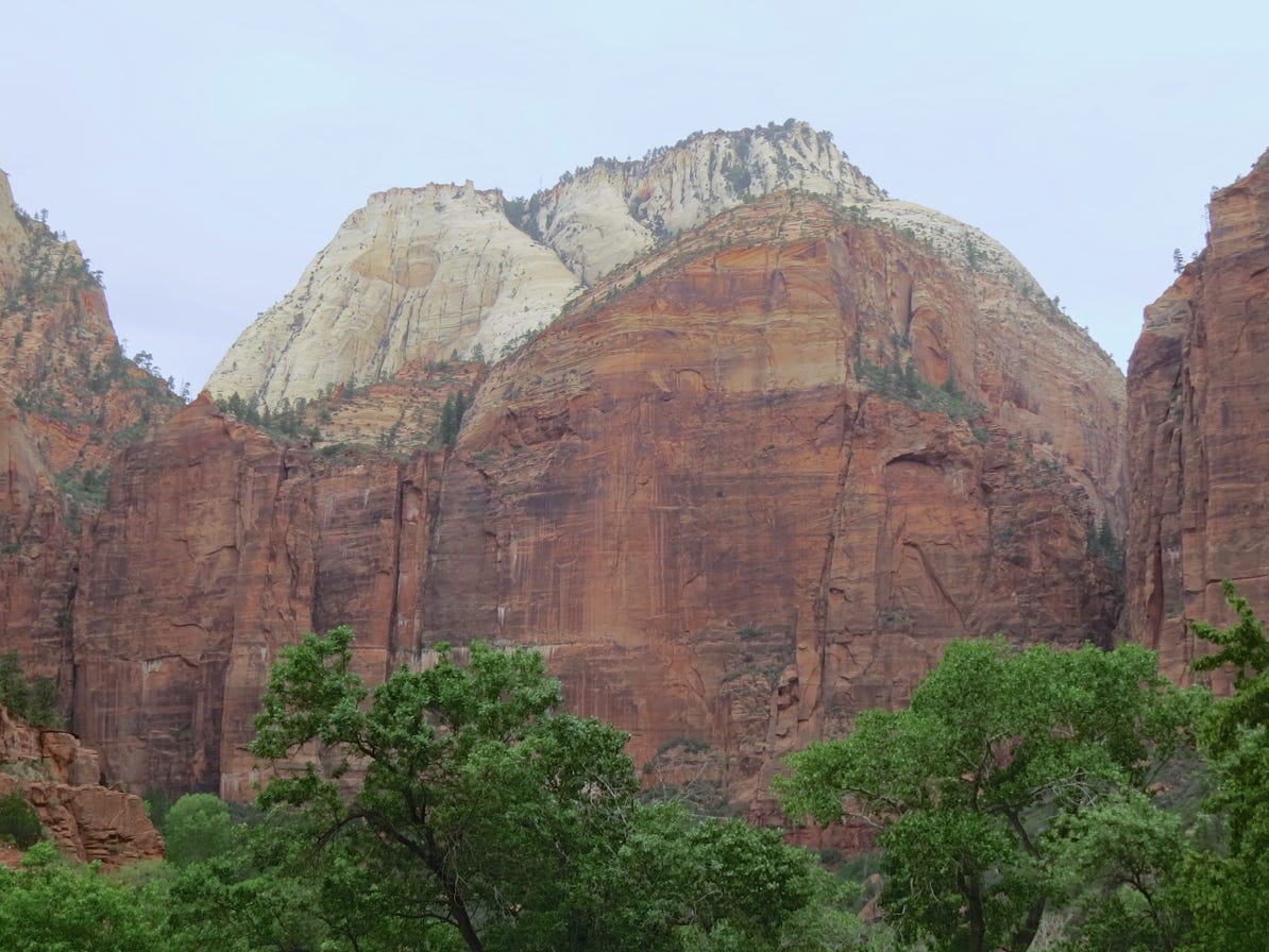
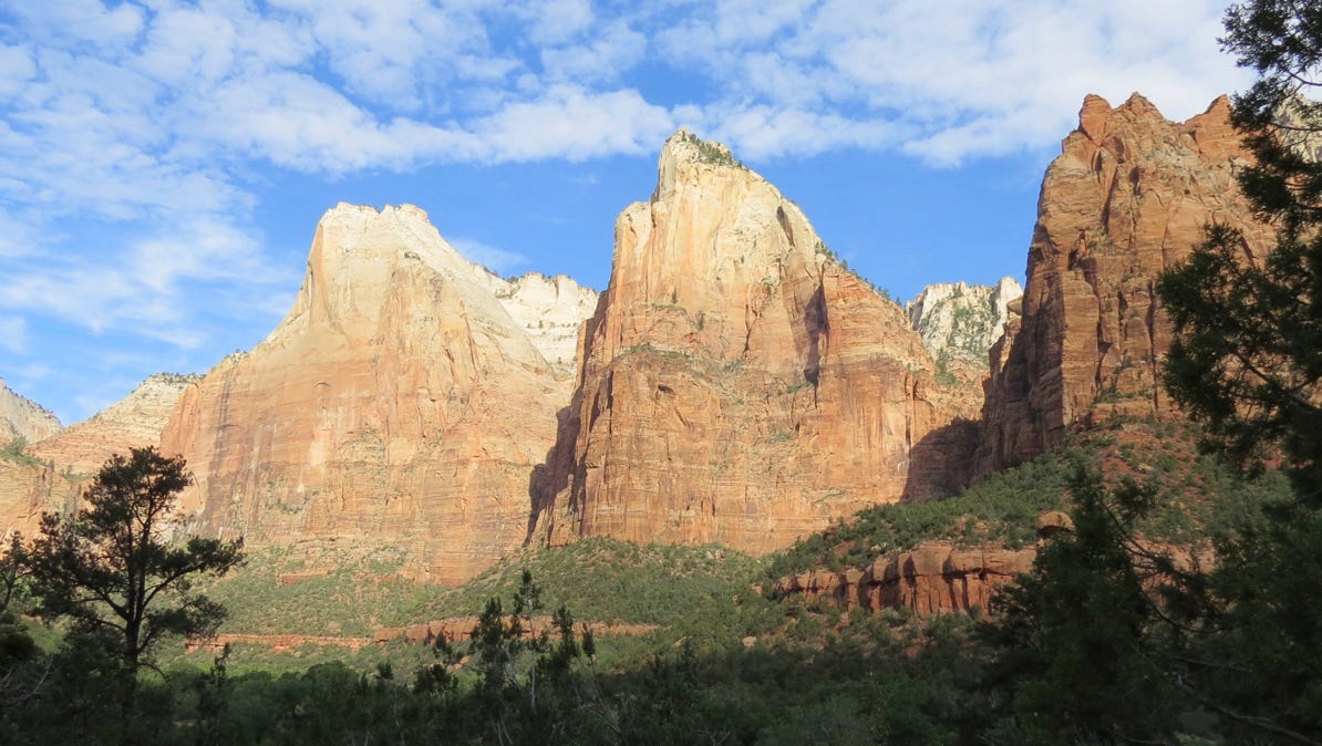
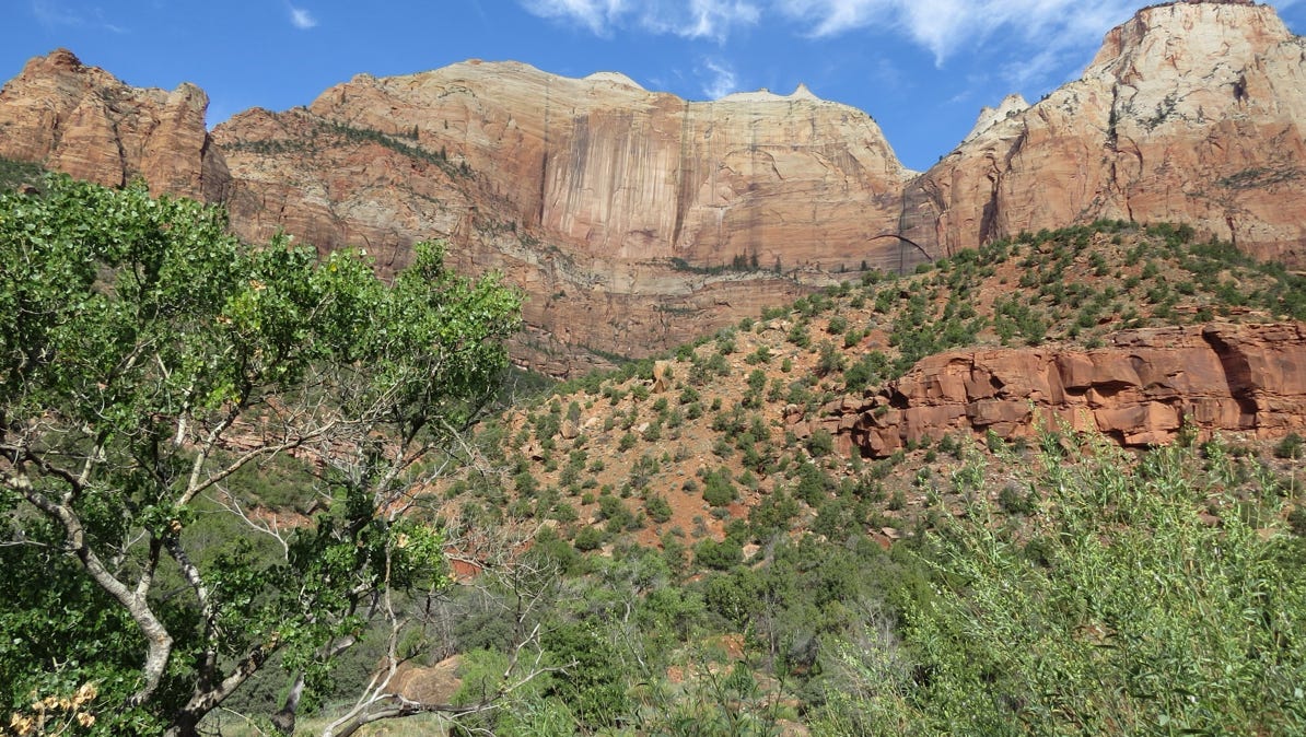
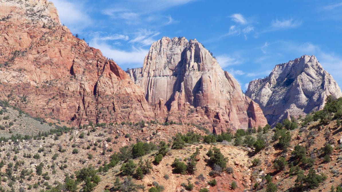
The color of the mountains in the park is amazing. The trees up on the side show the size of the mountains.
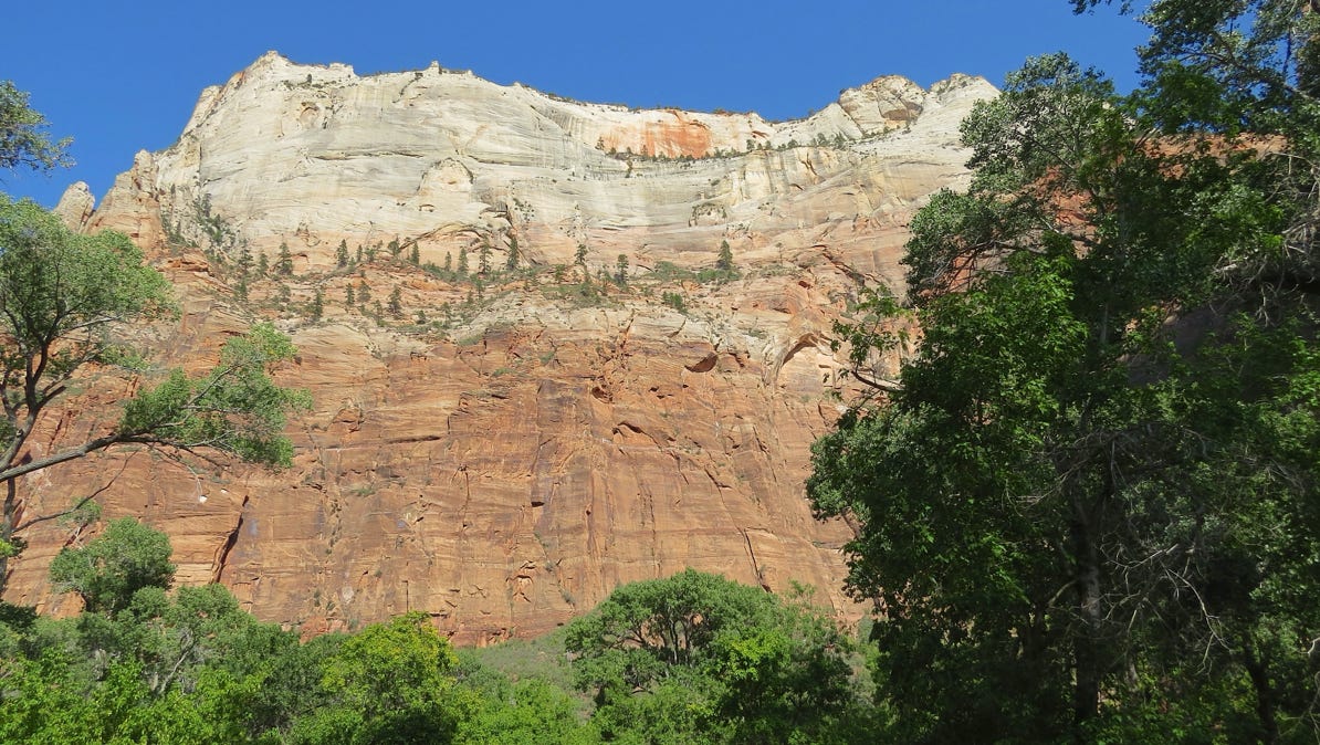
There is a web cam that looks out at these 7,000 foot high mountains.
We spent two days wandering around in the park. Most of the time the sun was behind clouds.
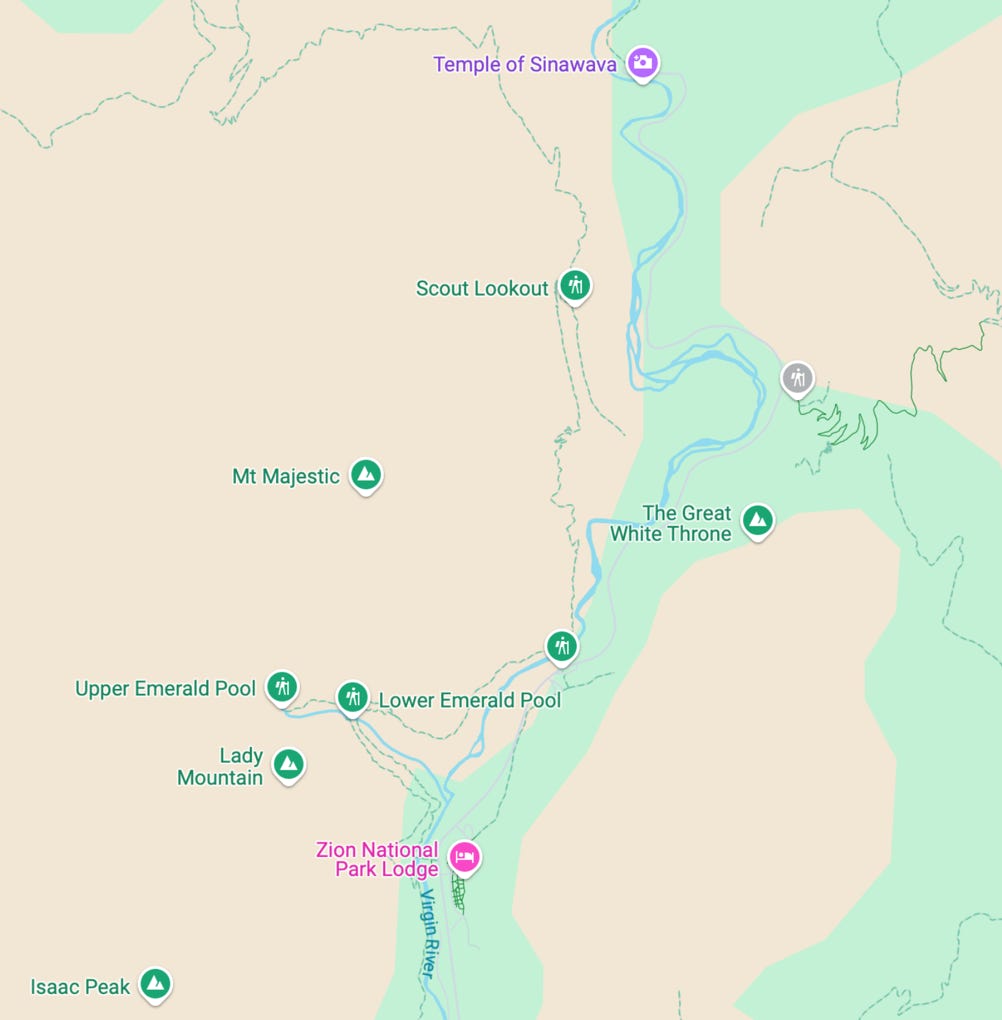
Here’s another map. Our hotel is the yellow house pin. Our walk to “The Narrows” was at the water pin, and our walk up to the Emerald Pools was at the hiker pin.
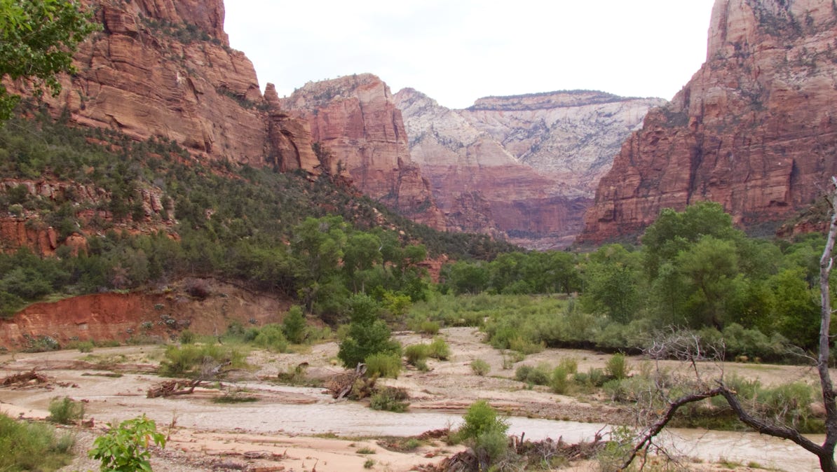
The Virgin River flows through the park, from north to south.
The sun was not shining on our first morning in the park. Still, the mountains were impressive.
The park doesn’t allow private automobiles on the Floor of the Valley Road. Instead, there are shuttle buses that run frequently. As a result, the park is quite peaceful.
We went north to the end of the road, to the mile long Riverside Walk, which ends at The Narrows.
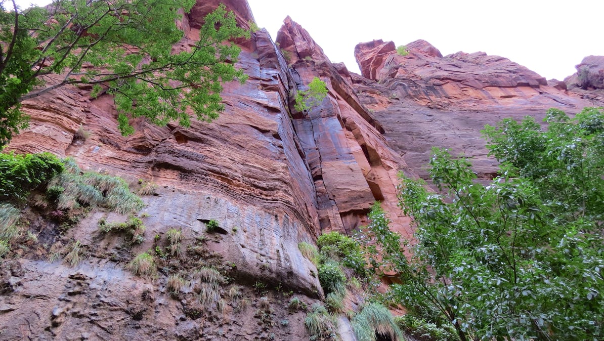
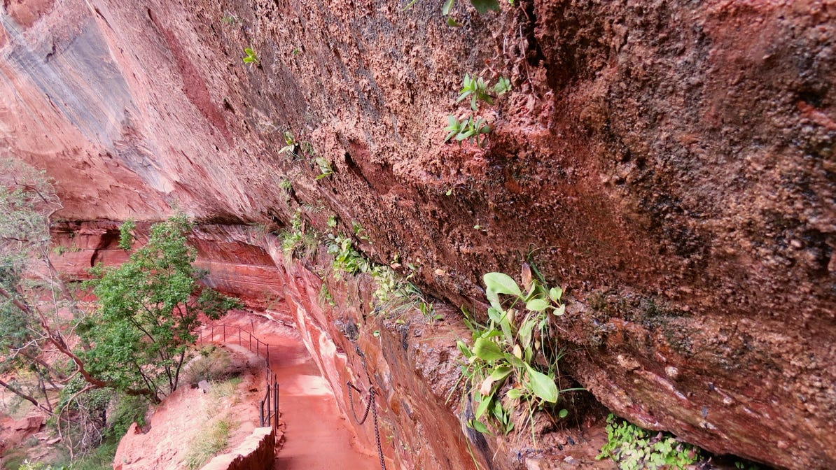
There are hanging gardens on the sides of the walls, where water runs out between layers of rock. See the lower left of this photo for water–loving plants.
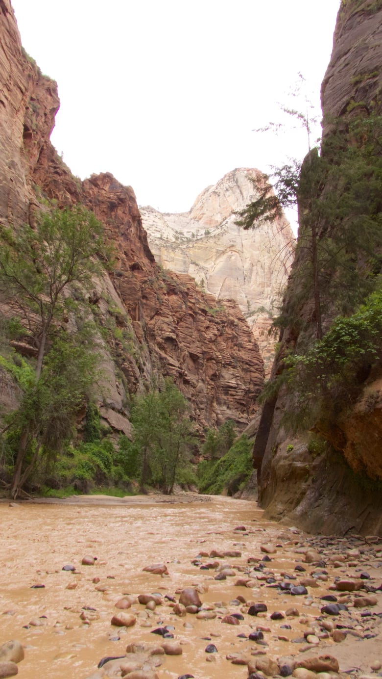
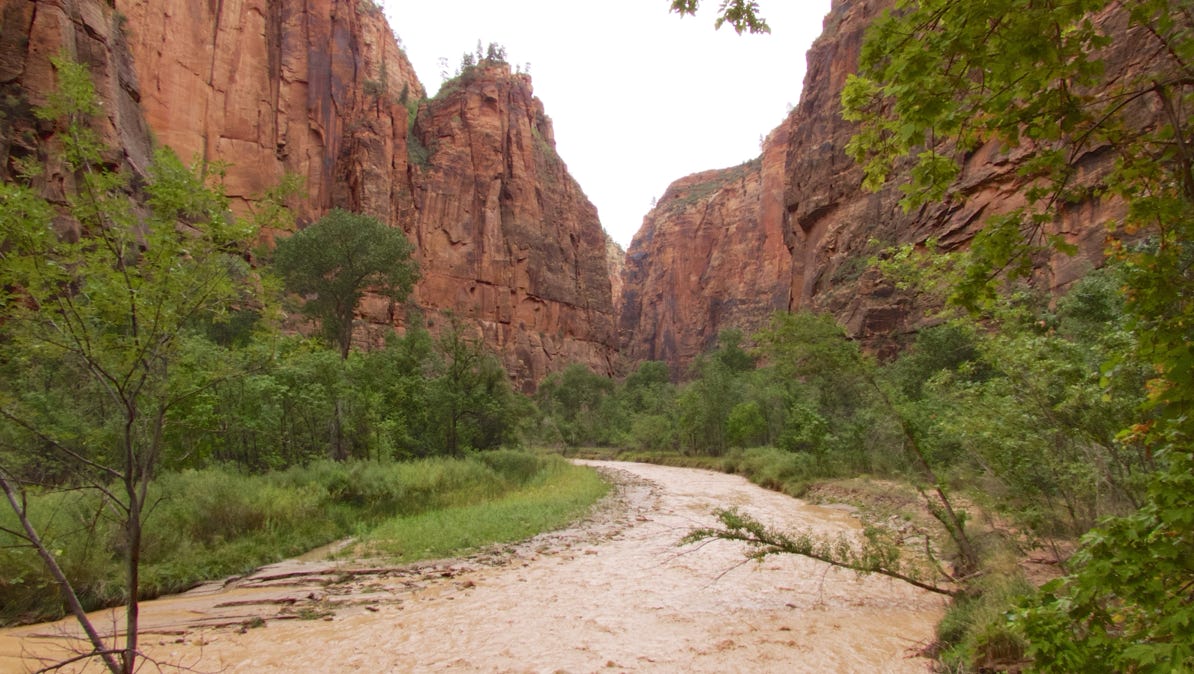
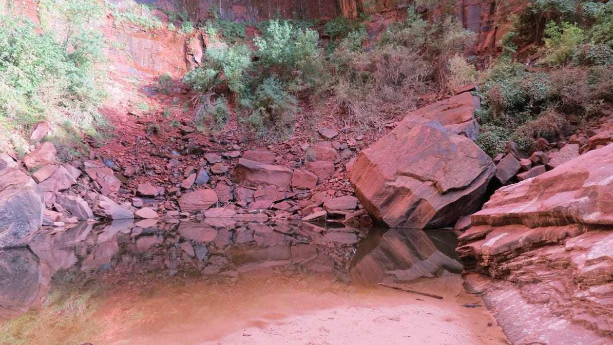
This is the end of Riverside Walk. The Narrows are ahead. The information we have says the walk takes 9 hours, and requires that the hiker walk in the river, and at some points, swim.
We saw several people trying it out, with long poles to help with their footing.
A ranger told us the normal flow of the Virgin River is 50 cubic yards per second (cubic meters per second). However, the Narrows is closed today because of the possibility of a flash flood, where the flow increases to 3,000 cubic feet per second!
We decided we wouldn’t walk in the river, even without the possibility of a flash flood. Here’s a short video
Look at the color!

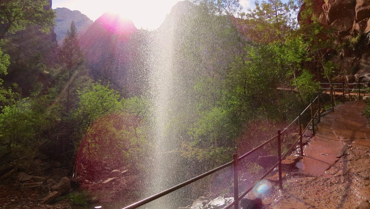
There are “hanging gardens” on the canyon walls along the Riverside Walk. Water flows out between rock layers and irrigates small plants. Below is a short clip showing the dripping water.
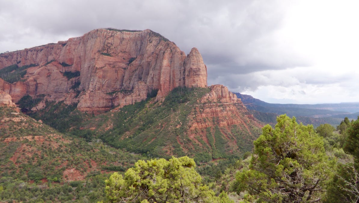
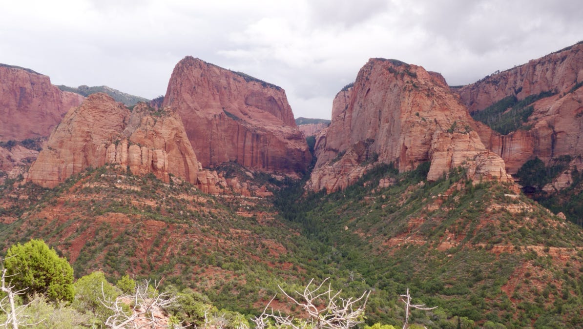
After lunch, we drove back out of Springdale and up the freeway to another entrance to Zion Park. Kolob Canyons is in the area around the yellow pin on the map (above). We did not visit this area on our 1980’s trip to Zion.
The sun was out, but there were lots of clouds around.
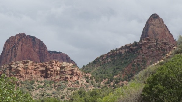
The mountains are really stunning.
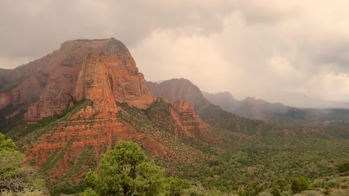
Alas, it started to rain and we returned to Springdale. The rain is visible in this photograph.
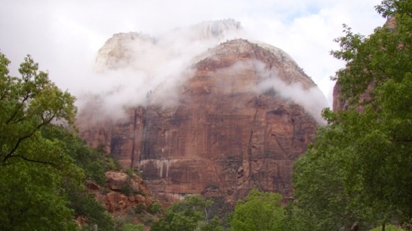
The next morning, we got up early and took the shuttle up to the trail for Upper Emerald Pool. Yes, it was cloudy.
But the clouds have some visual beauty.
There is a bridge across the Virgin River to reach the trail head. This is looking upriver.
The lower part of the trail is paved, and hugs the mountain wall. The hanging gardens are well irrigated, but the trail is sheltered from most of the drips.
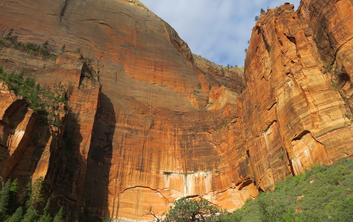
The Upper Emerald Pool was red! This was probably due to the cloudy morning. Still, it was a very nice walk.
The sun came out on the way back down the trail, above. Here is what the dripping water looked like on the lower segment of the trail.
We got off the shuttle twice on the way back to the hotel to take pictures in the sun.
We checked out of our hotel, and drove our car back into the park to go east towards Big Water. This map shows the switch backs to get up to the Zion–Mt Carmel tunnel.
The landscape on the other side of the tunnel is different from the Virgin River canyon, so we’ll cover that in the next update—the drive to Big Water, Utah.
Here’s the last photo from the side of the park, before the tunnel.
We flew to Las Vegas, Nevada and drove several hours east to Springdale, Utah, gateway to the park.
Next—the drive through the Zion–Mt Carmel tunnel and on to Big Water, Utah.