
#20—Broadway and Oak Glen Park
Walk #20—Broadway and Oak Glen Park
Sunday, 14 October 2012
It was 71F and sunny at the start of the walk.
Here is a map of the walk (light red color). The blue pin is the start of the walk.
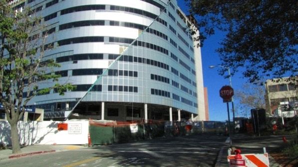
The walk from Telegraph Avenue is up a hill and back down on Hawthorne Avenue. Since the book was written, the area has changed quite a bit. Because of seismic (earthquake) issues, the state is requiring hospitals to be brought up to a safe standard. Pill Hill, where the first part of the walk takes place, is undergoing a lot of construction.
The aluminum colored structure is not finished, and the street has a lot of barriers. No matter, we made it down to Broadway without much trouble.
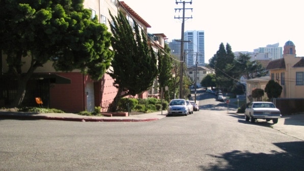
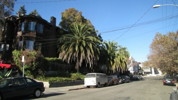
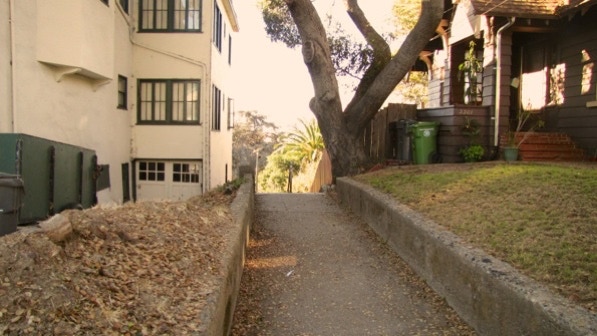
This photo was taken after turning from Brook Street onto 30th Street.
Here is a bridge over a creek, and then the first staircase.
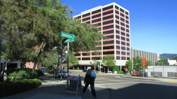
At the top of the staircase, we could make out the Kaiser Center building we saw on Walk #19 (just to the left of the telephone pole). The streets are wide, but there was not much car traffic.
The church dome in this photo is mentioned on page 130.

And this is the doorway mentioned in the book. Quite nice.
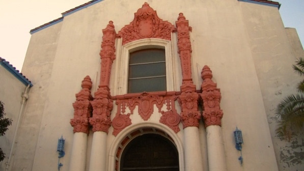
The church itself is interesting! The building hosts the First Korean Christian Church and the First Mongolian Christian Church.
The next staircase is down in the parking lot, to the right of the large tree.

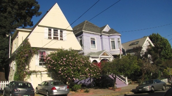
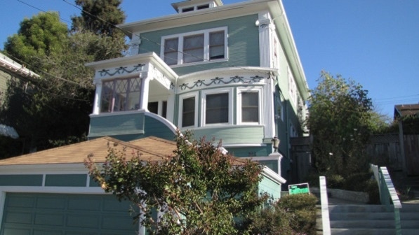
We walked down one staircase and back up another (a “relative oddity”) and landed on Hamilton Place. These two houses were built in 1896.
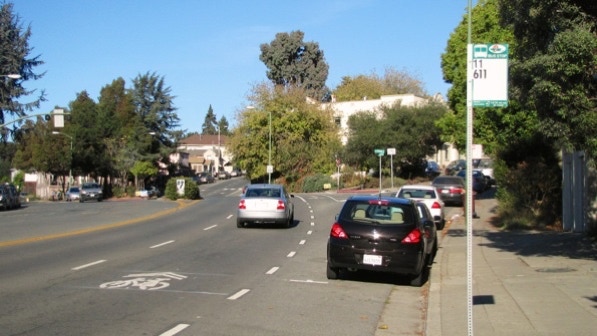
At Harrison Street, looking up to Orange Street (on the right) we ran into cars driving a bit too fast.
Not far up Orange Street—the houses are old, too. This one was built in 1906.
The turn for the next staircase, Perkins Way, is just before the large shingle house.
Well, it’s not a staircase, but a ramp and steps.
At the bottom, there is busy Oakland Avenue. The route goes over by the large conifer in this photo.
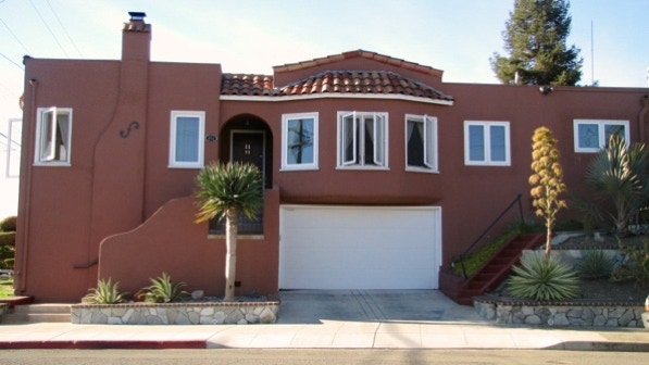
But before going down Frisbee Way, turn around and look at this fine house, built in 1910.
And then onto Frisbee Way.
This house is the signal to turn left, up onto Frisbee Street.
At the end of Frisbee, there is a nice looking house (1927) and great landscaping.
Here is the map again. We are at the yellow house pin on the map.
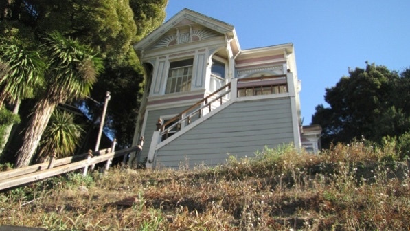
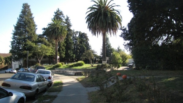
This is the “trio of handsome palm trees” noted on page 131.
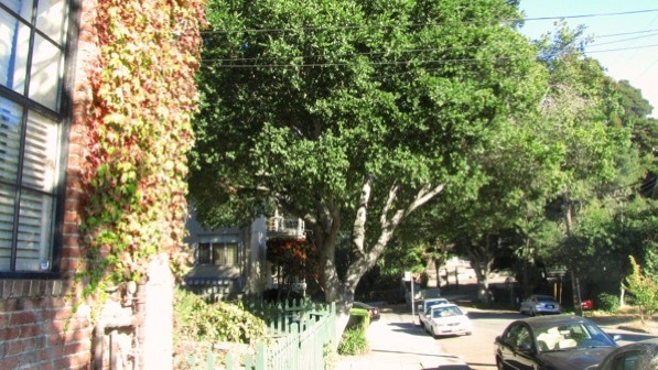
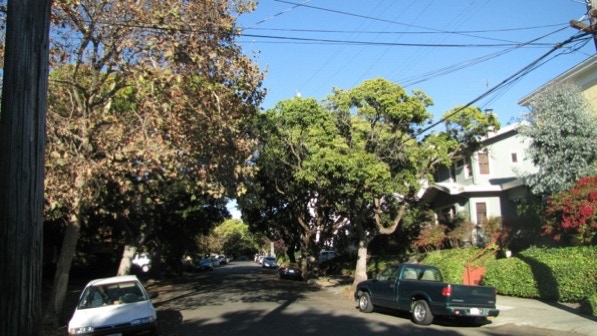
Fairmount Avenue is leafy. Note, Google Maps has Fairmount all over the map, so to speak. It doesn’t affect the walk, but the map is not quite right.

This is the pocket park, Oak Park, mentioned on page 131. The photo was taken after we walked past the park. The Google Map does not show this park, but it is the green person pin kicking a ball on the map.
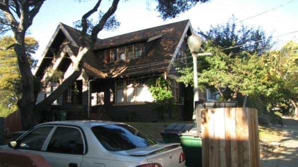
The left turn onto the next staircase is here, just before this house (built 1910).
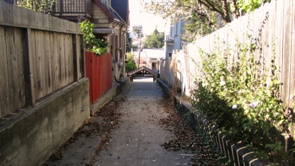
The unnamed staircase is here.
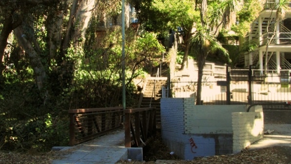
The staircase comes down to Richmond Boulevard and Oak Glen Park. There is a bridge across that same creek, Glen Echo Creek, which flows down to near Children’s Fairyland (Walk #19). We are at the water pin on the map.
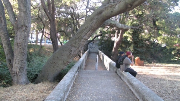
It is a fine creek for an inner city.
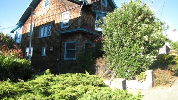
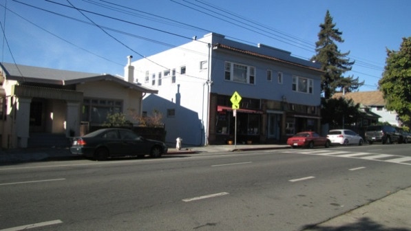
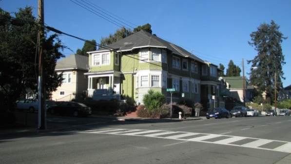
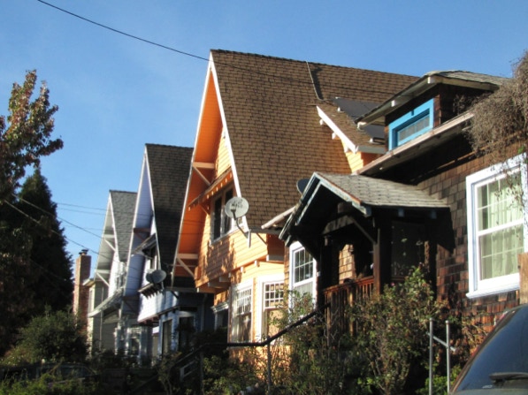
Before reaching Broadway (and, essentially, the end of the walk) we walked on Randwick Avenue. These are nicely painted houses. Yes, built about 1906.
The morning was overcast, but by mid–afternoon, the sun was out. Alas, the sun was in a poor direction for good photographs for Walk #18, so we did #20 instead.
The book reports 370 steps and 2.5 miles. The step count is right, and the distance is 2.0 miles. (distance calculated by Google maps). AC Transit bus line 1 will work to get you to the starting point, but line 800 only runs between midnight and five in the morning.
Next—Remillard Park, if we get a clear morning.
