
#19—Lake Merritt Cascades
Walk #19—Lake Merritt Cascades
Saturday, 13 October 2012
It was a 60F and sunny at the start of the walk.
Here is a map of the walk (blue color). The blue pin is the start of the walk. There is a some back tracking on this walk in Lakeside Park; blowing up the map could make the route easier to follow.
Jogging around Lake Merritt is a popular activity. This photo was taken near the start of the walk, at the intersection of Brooklyn Street and Lake Shore Avenue.
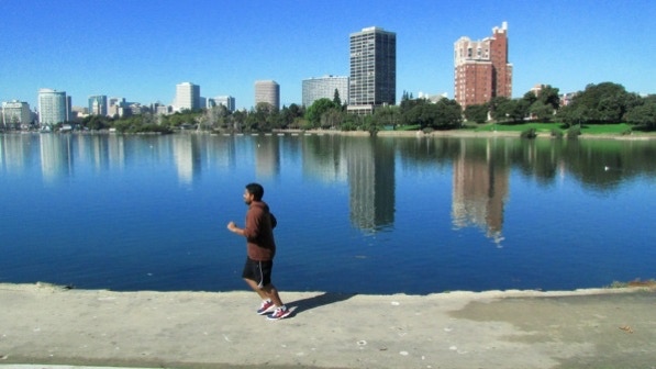
There was little wind this morning. There were two crew boats racing in the distance.
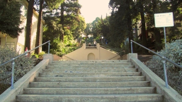
We walked over to Cleveland Cascade. There were about a dozen people huffing and puffing on the steps ahead of us.
We walked down Merritt Avenue and saw the “thick, low–growing Washington palm” which marks the top of the staircase to go back down toward Lake Merritt (page 124).

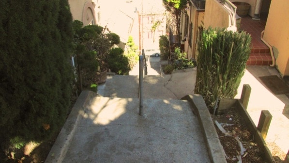
This is the unnamed staircase. Funny, few staircases are named in Oakland, as compared with Berkeley.
This is a view from the staircase. The Grand Lake Theater is the large building, and the tents of the Farmers’ Market are just visible by the freeway sign.

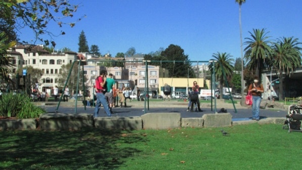
Back down at lake level is a playground at the park.
These are the Lake Merritt gates (page 125).
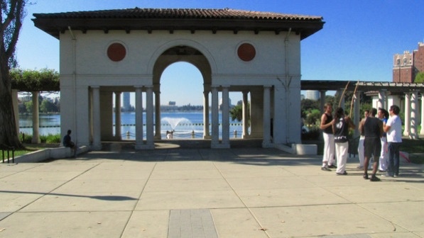
A close up.
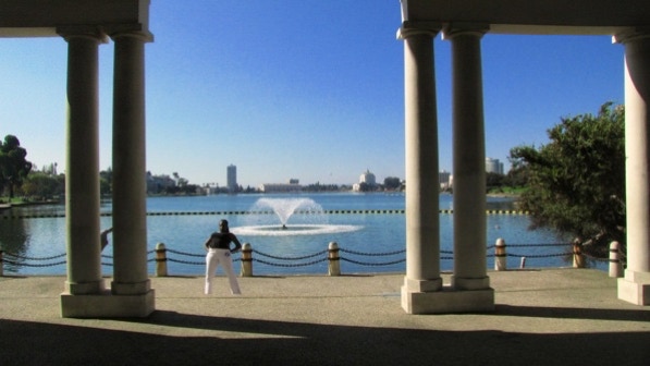
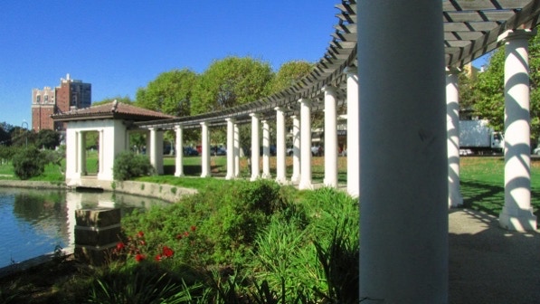
We turned right and walked through the columns.
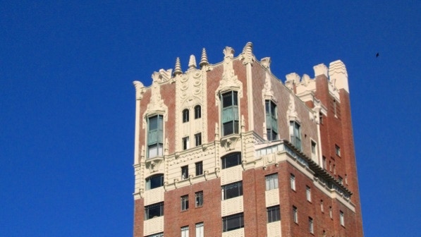
This is the top of an apartment house at the intersection of Staten Avenue and Bellevue Avenue. This building is the yellow house pin on the map.
Here is the map again.
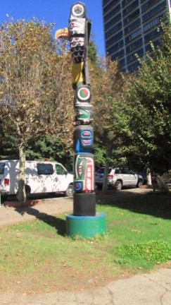
This is the totem pole landmark (page 125).
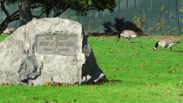
This rock is a monument to Melvin C. Chapman, a former mayor, who obtained the area for the city of Oakland. Lake Merritt is a wildlife sanctuary, the first one in the nation. Canadian geese are considered a nuisance by many.
We worked our way over to the “small beach” with a “dinosaur–bones play area” (page 125).
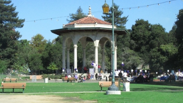
The band shell is not mentioned in the book. This photograph shows the “necklace of lights” that girdle the lake (page 125).
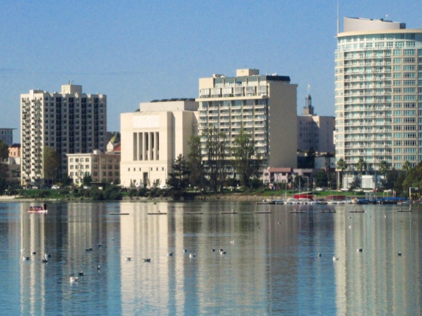
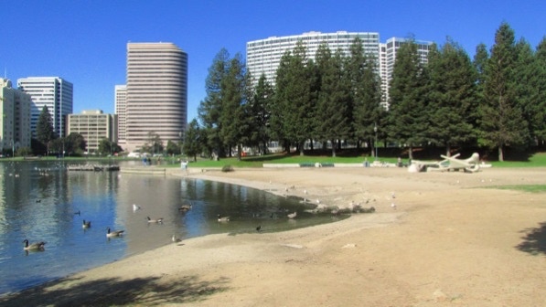
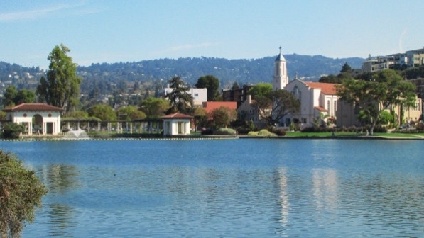
The Cathedral of Christ the Light is in this photograph, to the right of center.
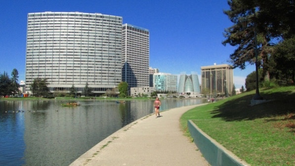
The largest building in the photograph above is Kaiser Center, which opened in 1960. It supposedly is the largest office tower in the US west of the Rockies.
At the end of the lake, we turned sharp right and walked up to Children’s Fairyland (page 126).
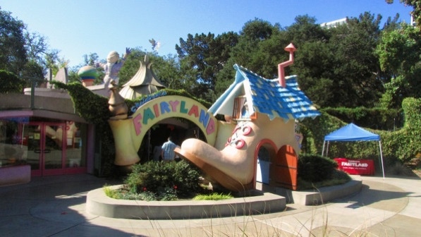
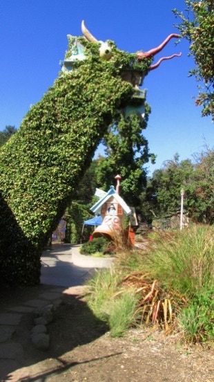
There is an old woman in the shoe! And an ivy–covered dragon.
At this point, we are at the two masks pin on the map.

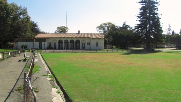
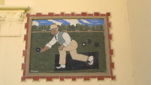
A little farther on and we are at the Oakland Lawn Bowling Association’s turf. There are four “delicate mosaic tiles of bowlers in action (page 126) but three have graffiti on them. The club was founded in 1903; green pin on the map.
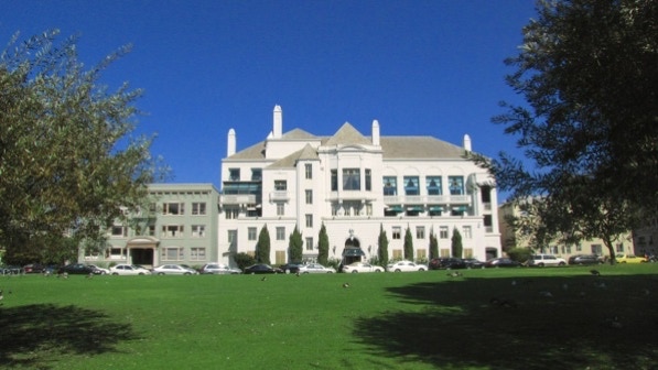
Once we got back to the totem pole, we deviated a bit from the route in the book. This is the Bellevue Club, built in 1929. It is on the National Register of Historic Places as the Women’s Athletic Club of Alameda County.
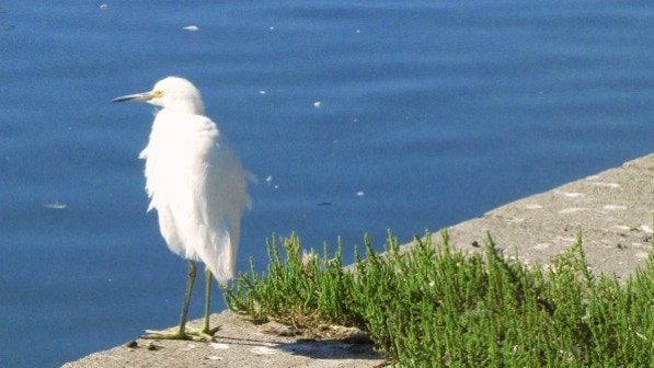
This looks like an egret by the side of the lake.
We are going to walk by the church on the way back to the starting point. The “gates” we saw early in the walk are on the left side of this photograph.
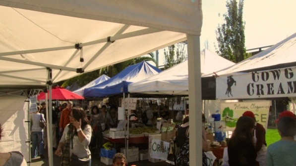
We deviated, as advised on page 127 and went over to the Farmers’ Market. It’s big and has a lot of vendors and customers. Cowgirl Creamery is locally famous. We are at the basket pin on the map.
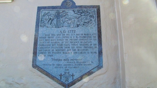
Our Lady of Lourdes is not in the book. This plaque caught our attention: “Near this spot on the 27th day of March, 1772, Farther Prior Juan Crespi, O. F. M., celebrated the first holy mass within the present confines of the county of Alameda....”
This is an easy walk with some great views and some interesting houses.
The book reports 206 steps and 3 miles. The step count is right, and the distance is 3.3 miles, with a deviation to the farmers’ market. (distance calculated by Google maps). If you are taking the bus, don’t count on either line 653 or 657; they are for school trips. The NL also will take you to the starting point.
We postponed Remillard Park for another day.
Next—Remillard Park.
