
Up and Over Twin Peaks
Twin Peaks to Forest Hill Station
Saturday, 13 November 2010
We drove up to where we left off last time, where the sidewalk ended at Twin Peaks Boulevard and Burnett Avenue. The walk to the top was easy, and there was not much car traffic.
At the top, we took time to take a few photos of the view.
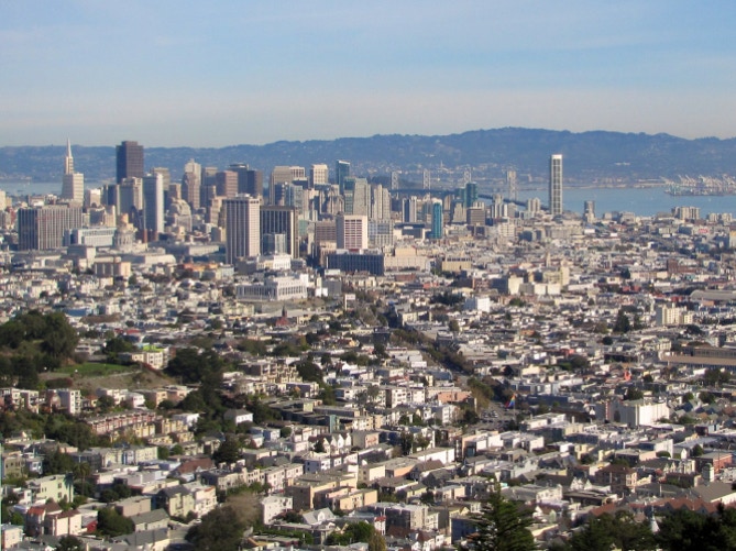
Below is a view looking out at Alcatraz. A bit of Angel Island can be seen just past Ft Mason, which is the green on the left edge of the photograph. In the center of the photo is Buena Vista Park.
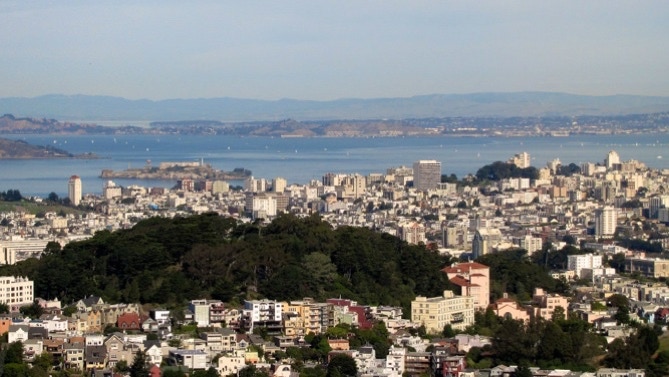
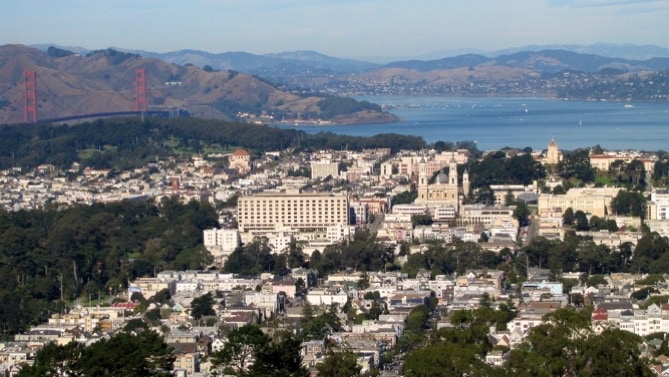
Swinging more to the left, the view is of the University of San Francisco just right of center. The Golden Gate Bridge is on the left. The large expanse of trees in the lower left side is in Golden Gate Park, and the Presidio is the spot near the Bridge with trees.
There were some light clouds when these photos were taken, and the temperature was about 65F.
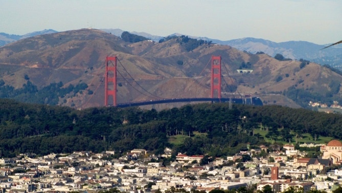
Using the telephoto lens, the Waldo Tunnel stands out to the right of the north tower. The road to Fort Cronkite in Marin can just be seen snaking along the hill side to the left of the south tower. The trees are in the Presidio.
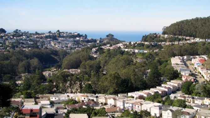
Turning to the west, this is Golden Gate Heights, with the Pacific Ocean in the distance. The Great Highway cannot be seen here, but it is on the other side of the hills.
Here is the map of today’s route.
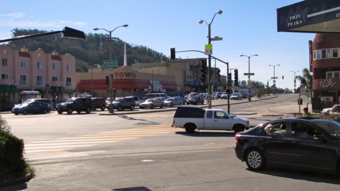
It was a quiet walk down from Twin Peaks, and just around a corner, we were back in the city.
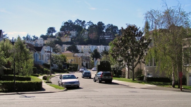
Here’s a look into the residential area.
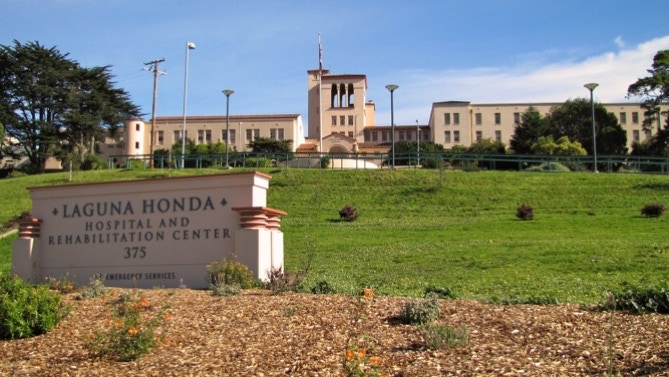
We continued on, past Laguna Honda Hospital, to Forest Hill Station, where we took a streetcar back downtown.
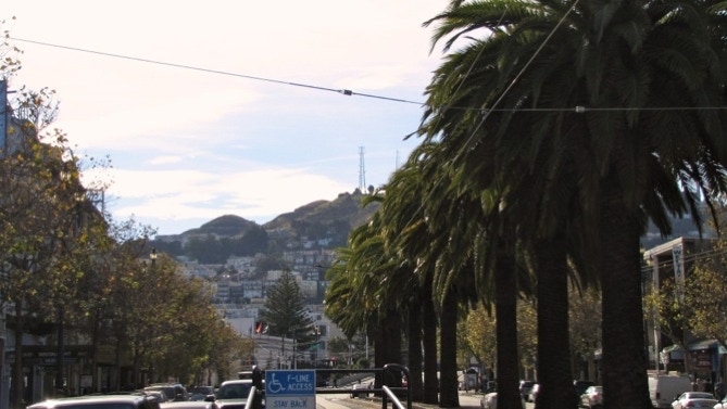
We got off at Castro Station and had lunch and then took a 37 bus back to our car. Here is the view back up to Twin Peaks from the bus stop on Market Street.
We’ve walked just over 34 miles so far on the Long Walk.
We started where we left off last time, went up Twin Peaks and then down to Forest Hill Station. We’ve been on the Long Walk for a year now.
Next—UC San Francisco and Golden Gate Park.
