Yellowstone National Park Park P. 1
Saturday—Tuesday June 15—18, 2013
We left Teton Village and drove north, past the Jackson Lake Lodge, and on into Yellowstone Park. Our first night was spent near Old Faithful (fire pin on the map). There is a National Park Service map of the park and web cams.

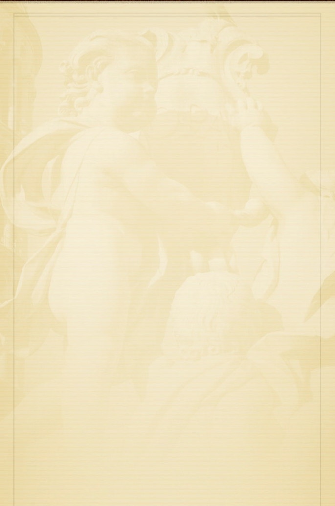
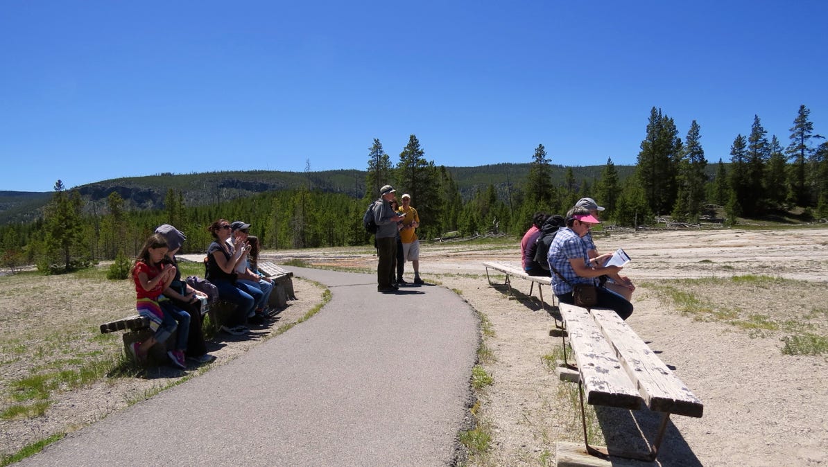
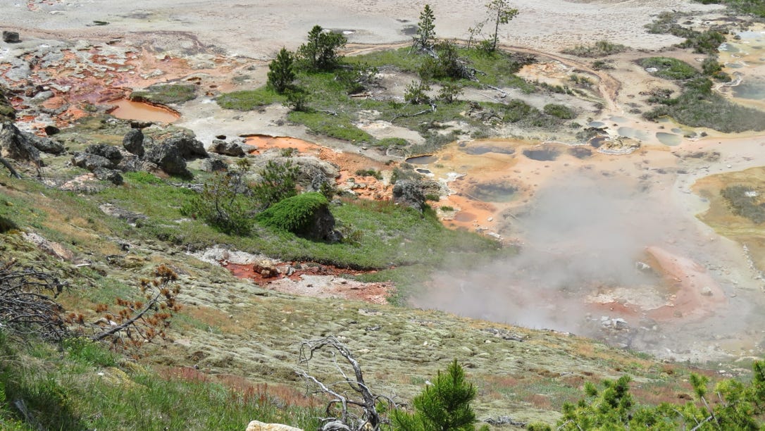
Our first stop was at the West Thumb Geyser Basin (yellow pin with dot). West Thumb is a bay on Yellowstone Lake.
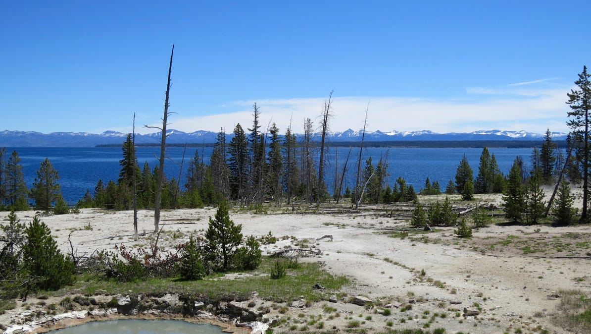
The geyser field has a wooden walkway around the thermal pools. The pools come in different colors, and put out a lot of steam.
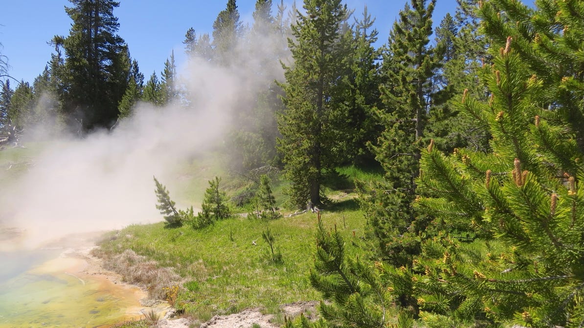
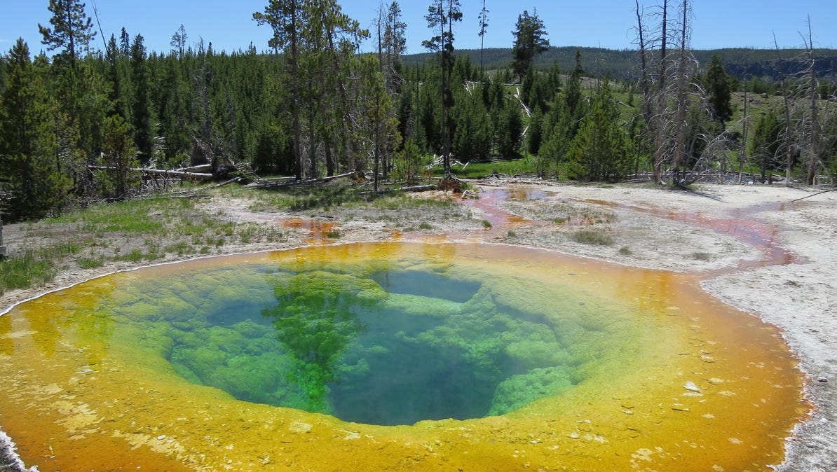
This pool is blue, which means the water is really, really hot. Green, orange and yellow are indicative of lower temperatures. The water in the pools is often very clear.
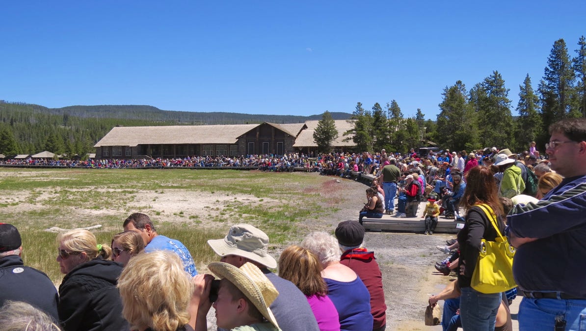
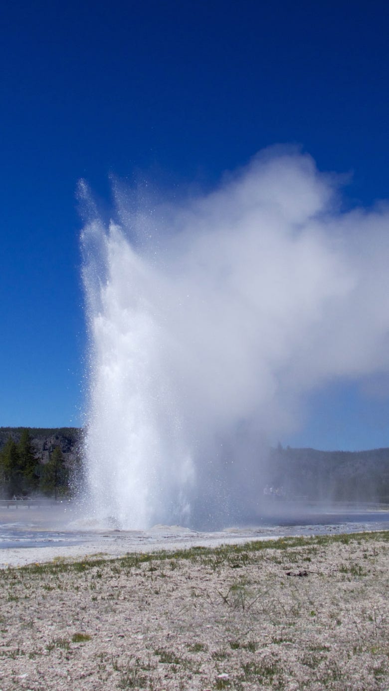
We continued on to the Upper Basin Geyser Field and its famous Old Faithful geyser. Old Faithful goes off about every 90 minutes. Old Faithful gets a good crowd.
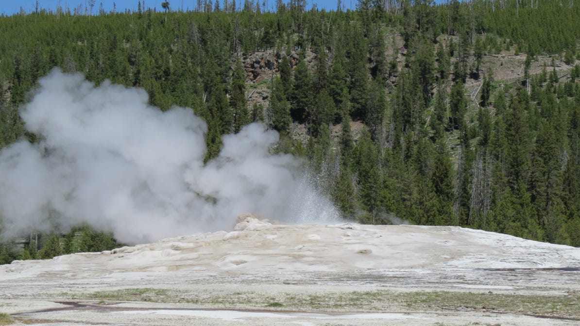
Old Faithful is just starting its act here. If you look closely, you can see spurting water in the middle of the mound.
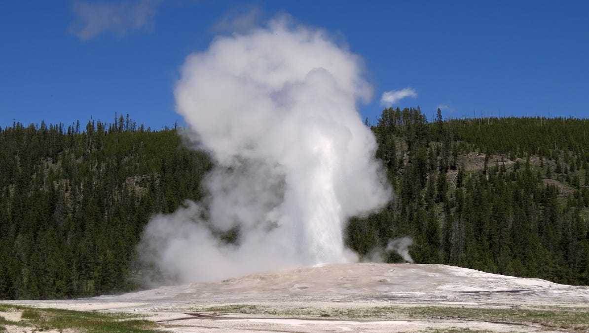
Here’s a little video showing the geyser when it is really going.
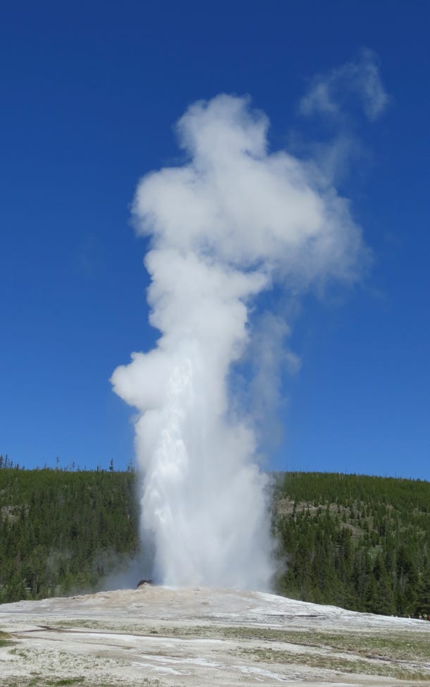
One last view of Old Faithful.
Other geysers in the area get a smaller crowd.
They are just as fine as Old Faithful, however.
This pool is cooler than the blue one back at West Thumb, but it is almost boiling.
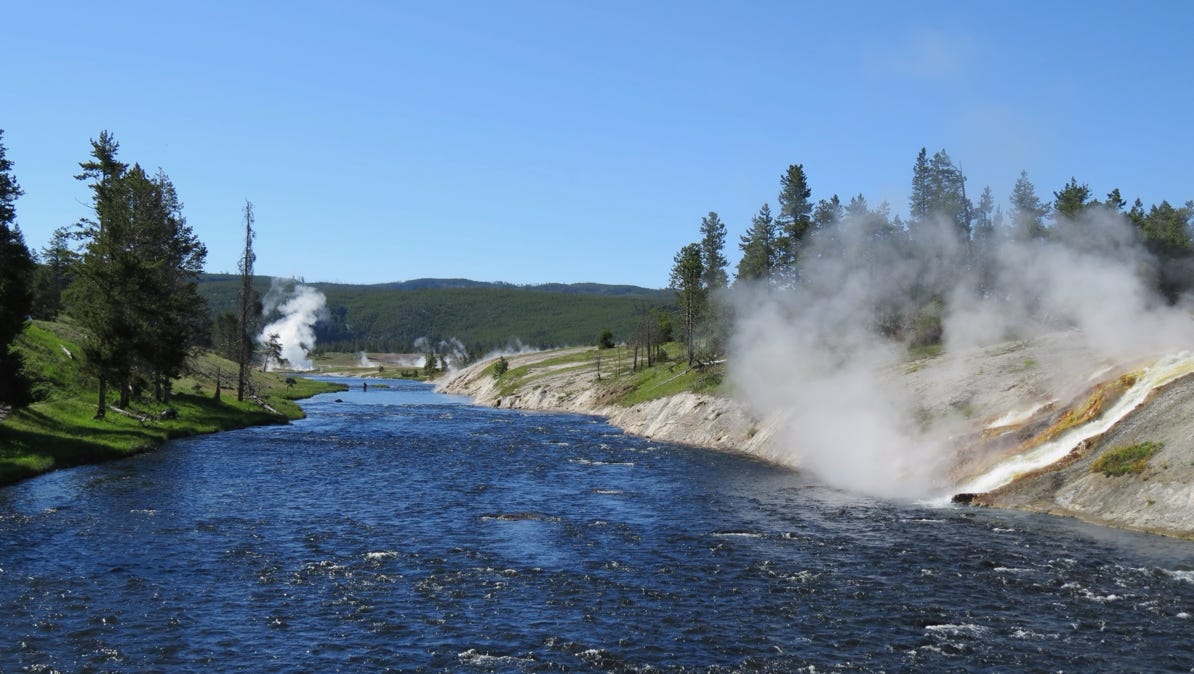
The Firehole River flows through the geyser field.
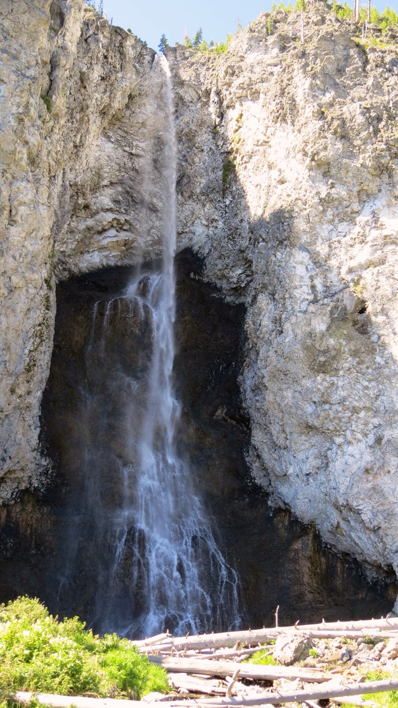
The next morning we drove north to the Fairy Falls trail (water pin on the map) and took a 4+ mile hike.
The falls are 197 feet in height.
Next, we drove north, through Madison, to Artists Paint Pots (red pin with a dot). Here’s a video of boiling white mud.
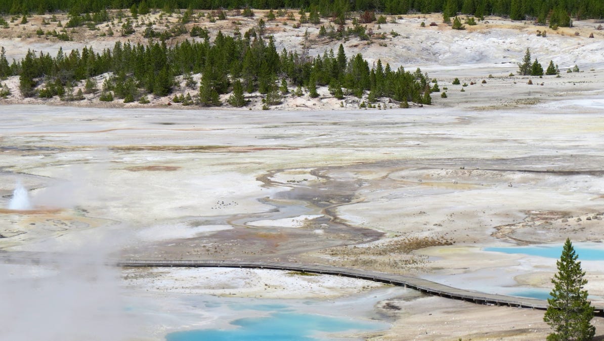
Our next stop was the Norris Geyser Basin (blue pin with a dot).
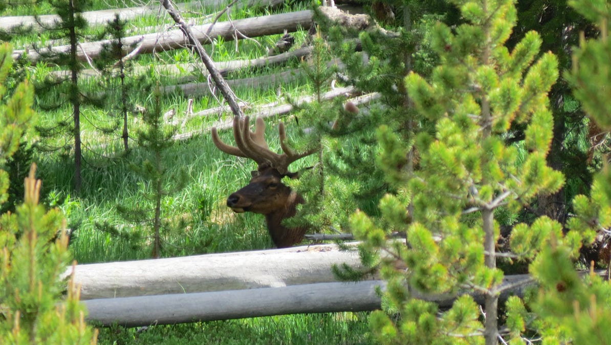
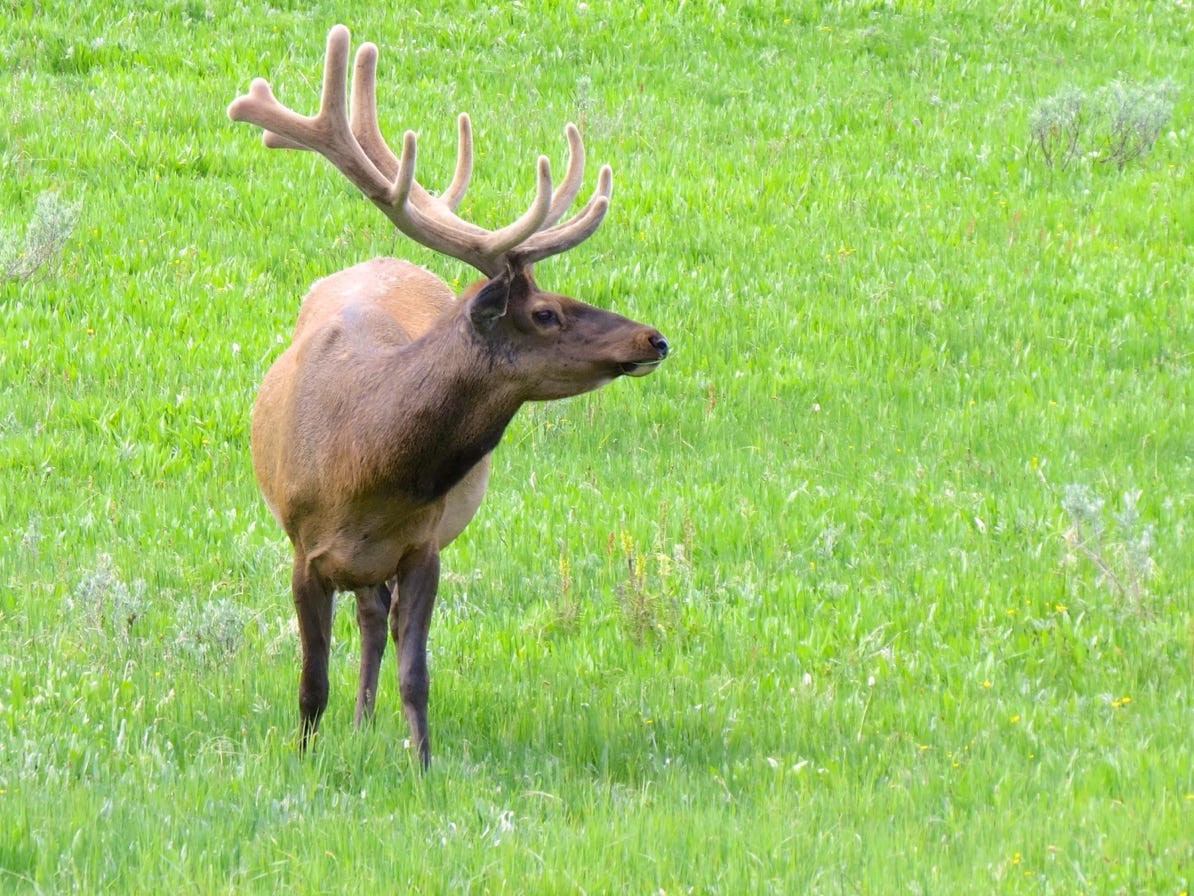
A lurking elk!
A view of a small part of the area and its boardwalk.
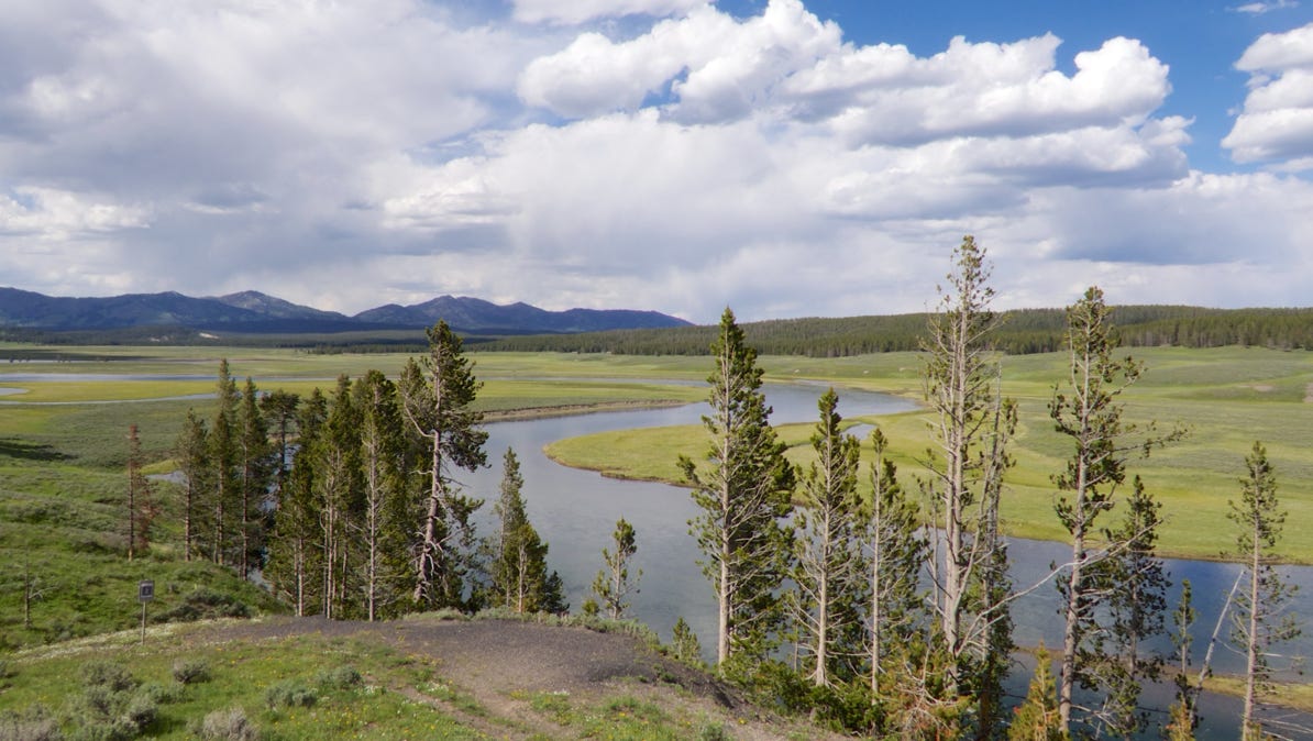
Next morning we drove toward Canyon Village to see the waterfalls on the Yellowstone River. Along the drive, we got a better look at an elk. Haven’t seen a bear, yet. We also followed a herd of bison who were in the highway. They moved along at a stately one mile per hour, and that’s what we did, for about an hour and a half!
We walked on a trail that was at the top of the canyon, below the falls. Spectacular! The river is visible here, and while the walls are not straight down, they look close to vertical. The trail goes right along the side.
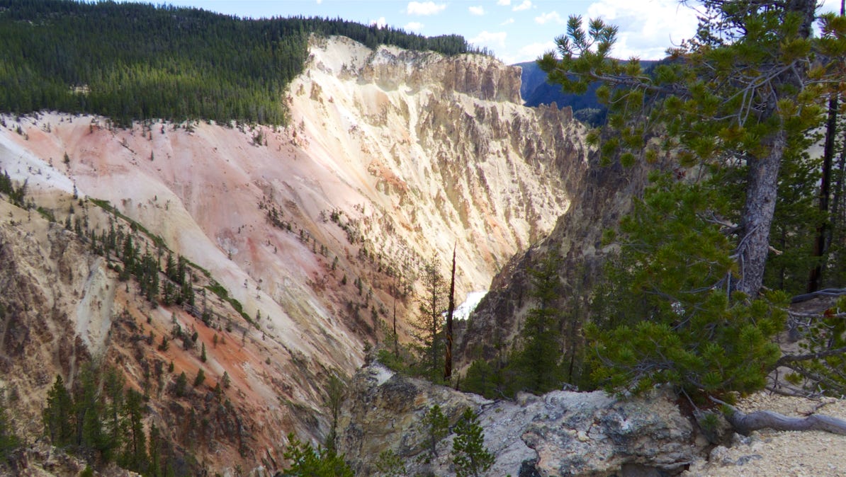
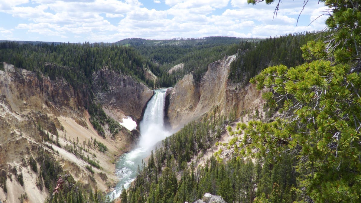
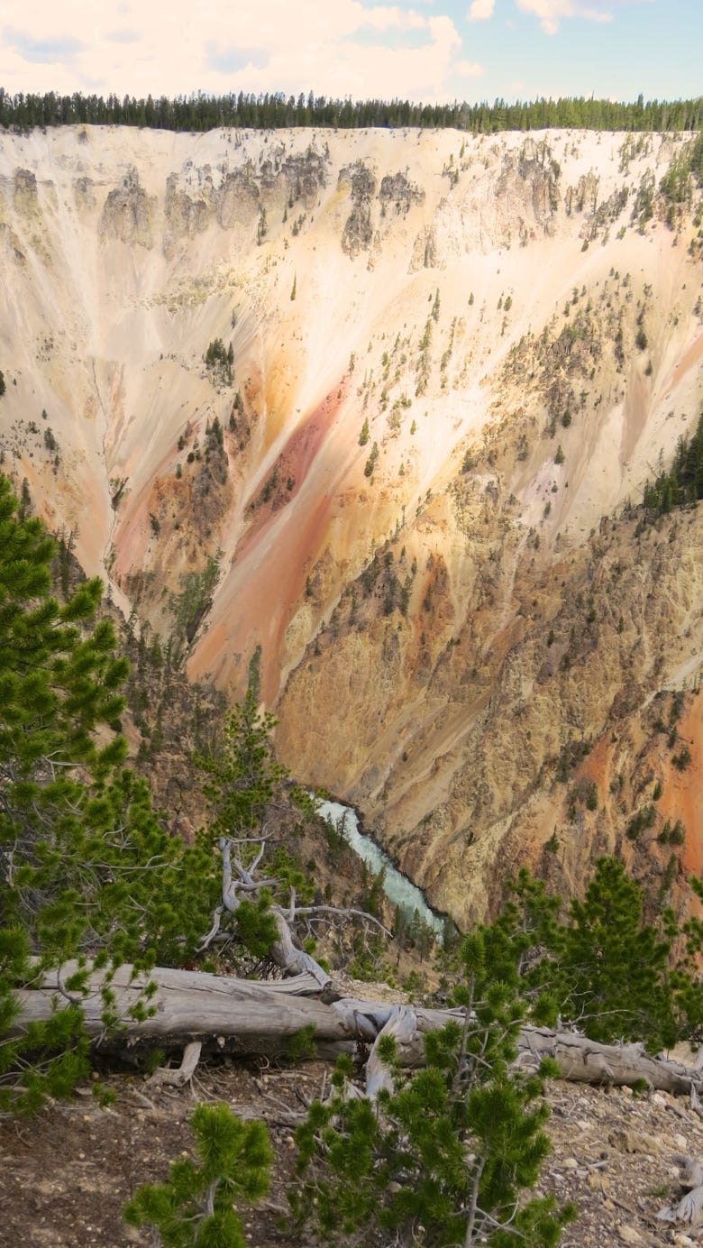
We’ll take another look at the falls in the next few photos. But the sheer walls are amazing—perhaps 800 feet high.
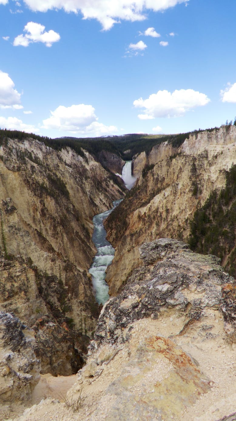
The lower falls are 308 feet tall.
This is a zoom shot from a long ways back from the waterfall. The white patch on the left of the falls is snow. Take a good look at the top of the falls, on the right side.

We did not have the courage to hike down to this viewing spot. Must have been really loud!
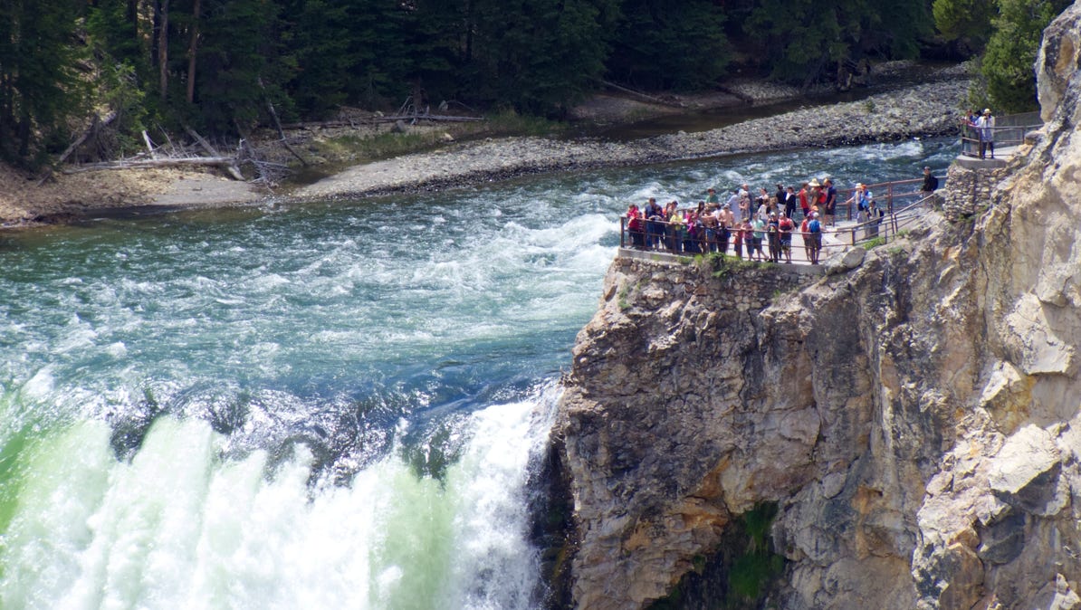
Compare the height of the trees on top of the canyon wall to the drop down to the river!
We drove upstream to the upper falls, which are 109 feet tall. This time we went to the viewing area. Here’s a video showing the river sweep by.
This is the same Yellowstone River, just a short stretch above the upper falls! Rafting, not a good idea. The last curve would be scary.
Nearby, people were staked out by the river, looking for a wolf, which had moved on before we got here.
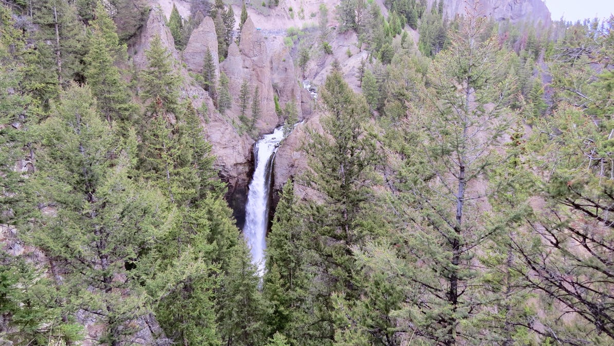
Our next stop was north at Tower Falls, and then we turned around and went back towards Canyon.
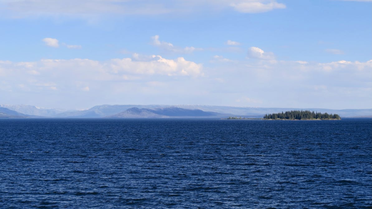
We spent the night at Lake Lodge (yellow house pin on the map), on Yellowstone Lake.
The next morning we headed north for a short trip to Mud Volcano (red pin on the map) before turning east on US 16/20 for Cody.
We drove north out of Grand Teton National Park and on into Yellowstone National Park.
Next—a drive east to Cody, Wyoming.