
Grand Teton National Park
Wednesday—Saturday June 12—15, 2013
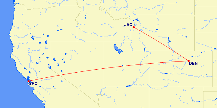
We flew out to Denver and transferred to a propeller airplane for Jackson Hole, Wyoming. We got in about 10 pm and drove to Teton Village, our base for Grand Teton (after leaving our home before 4 a.m. Let’s just say United Airlines made the trip more difficult than it was supposed to be. We might have driven there in less time.
The next morning was overcast. There is a lot of water here, with snow up in the mountains. There is a National Park Service map of the park and a web cam.
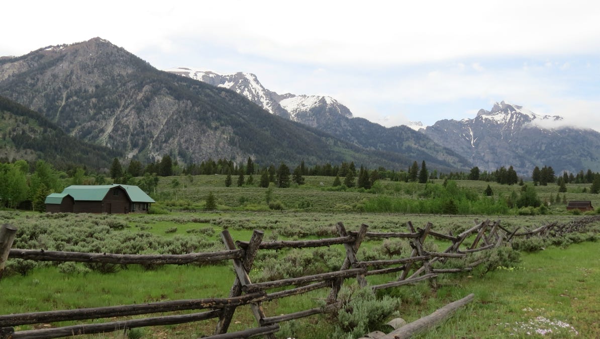
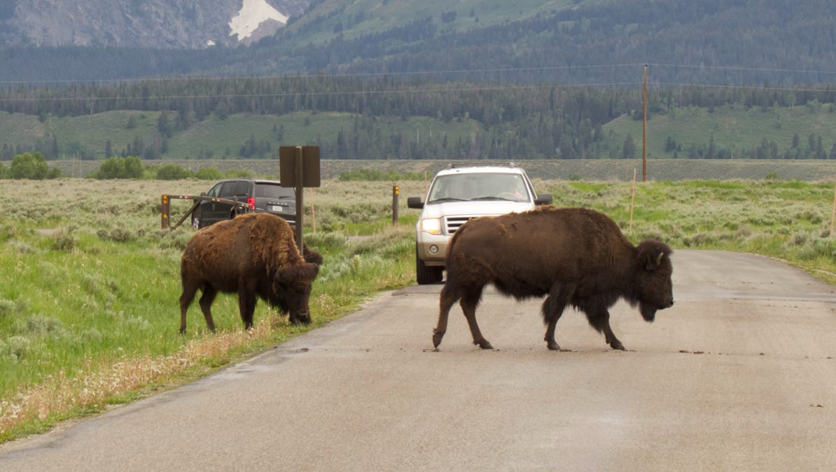
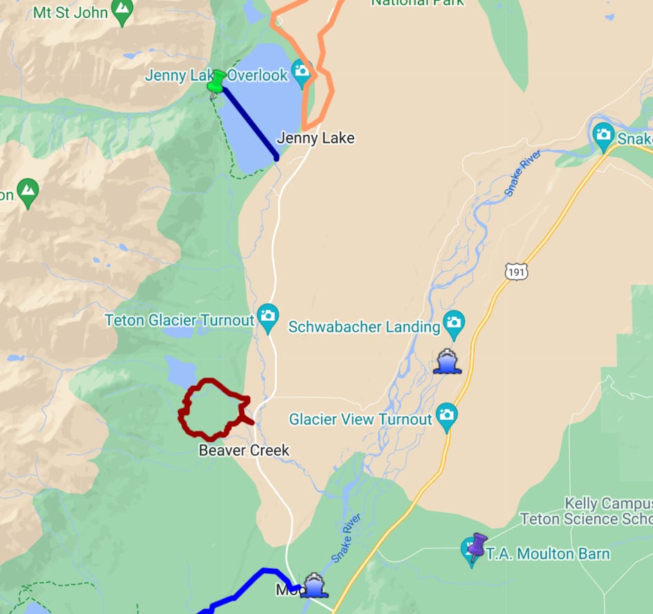
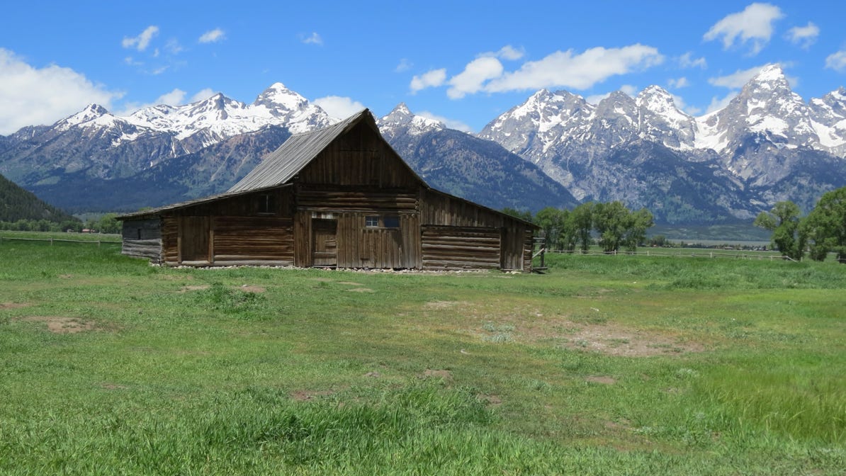
Here is a map of the area we explored on the first day. Teton Village is the yellow house pin. To get to the park we drove up and down Moose Wilson Road to Moose, a little village in the park. The blue pin on the map is a spot with several barns called Mormon Row, with great views of Grand Teton and bison.
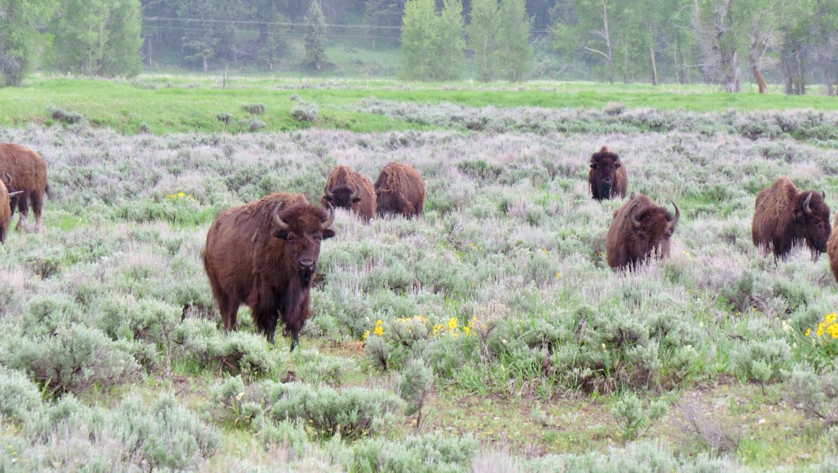
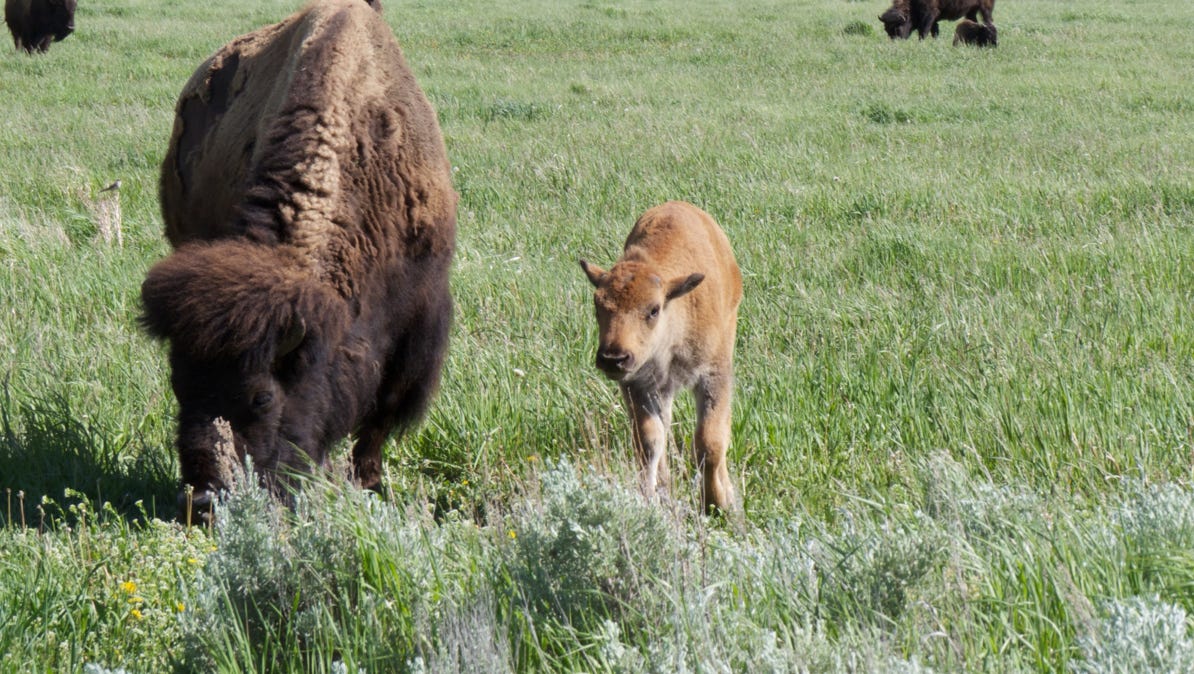
The bison get quite close!
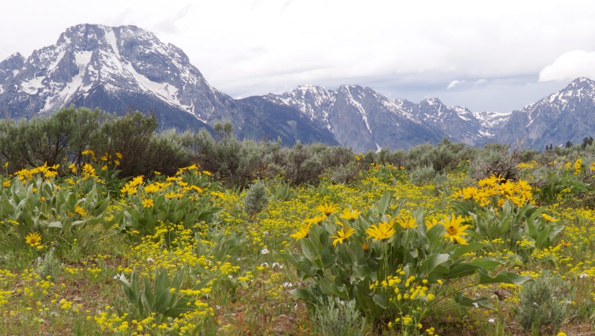
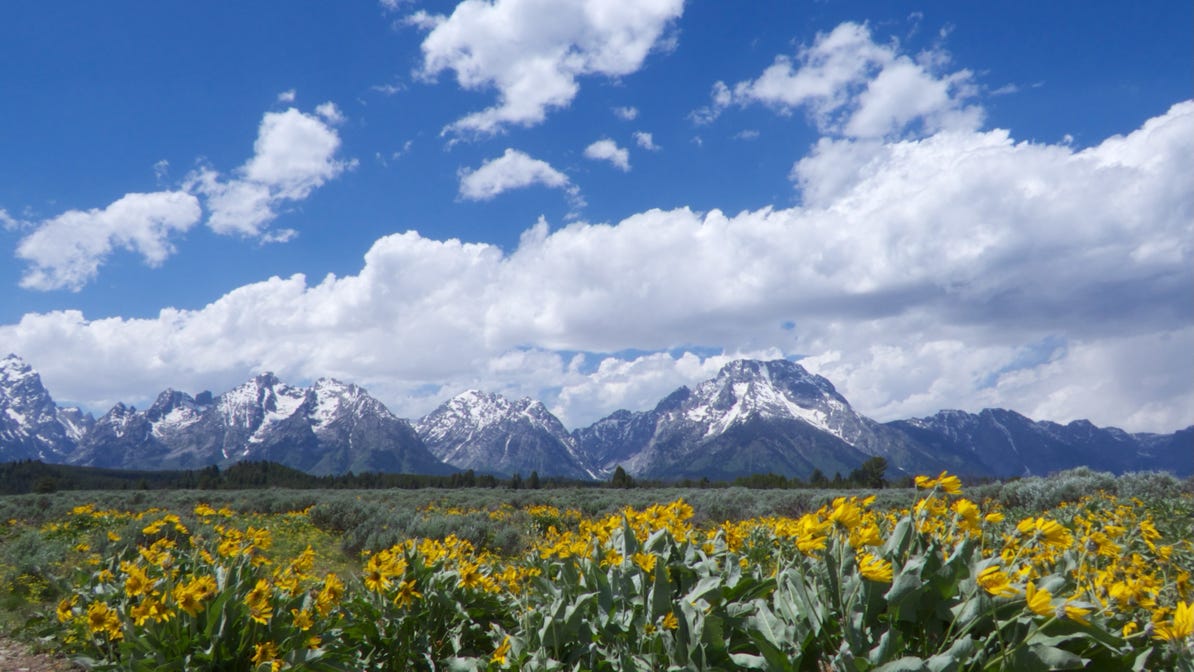
This yellow flower was prevalent in the area around Moose. Around the time this picture was taken the car radio broadcast an emergency announcement about the possibility of a very large tornado materializing in the area, and encouraged us to take shelter. We went to the Park Headquarters in Moose and browsed through the exhibits until the all clear was given.
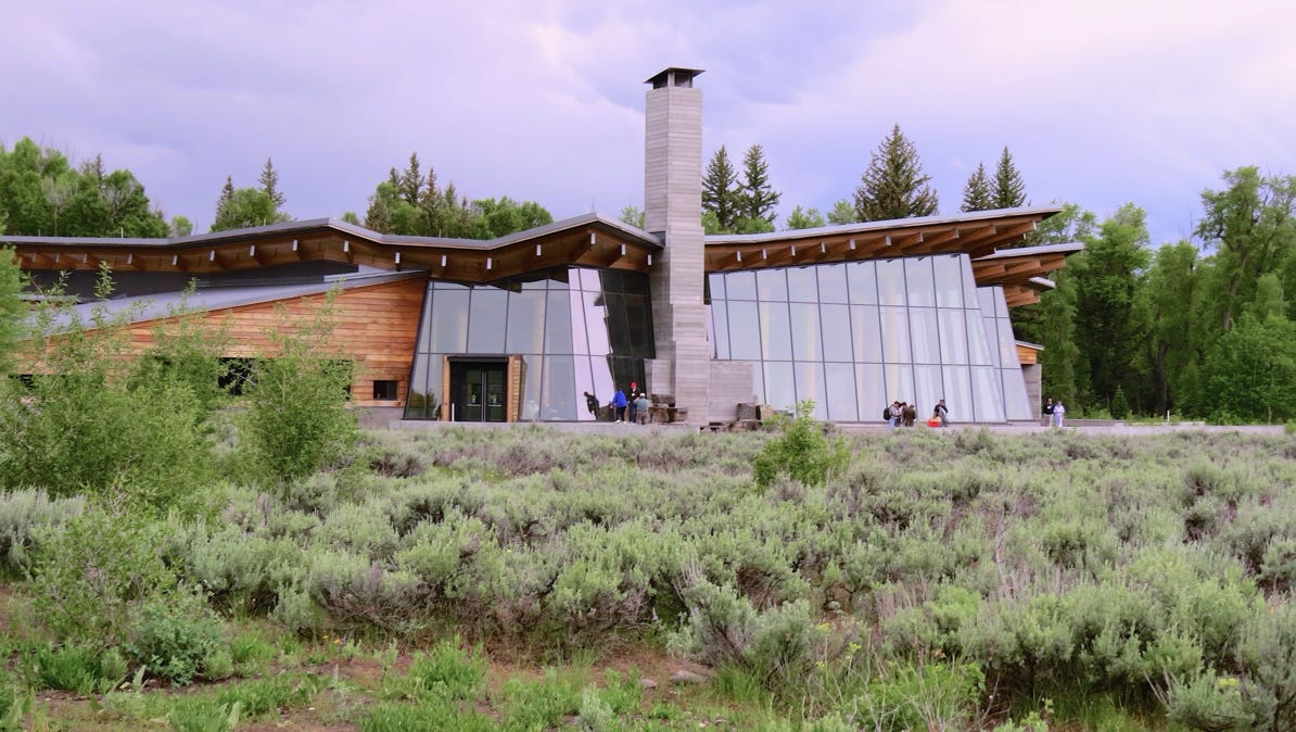
We avoided the area around the glass wall and its beautiful view of the mountains.
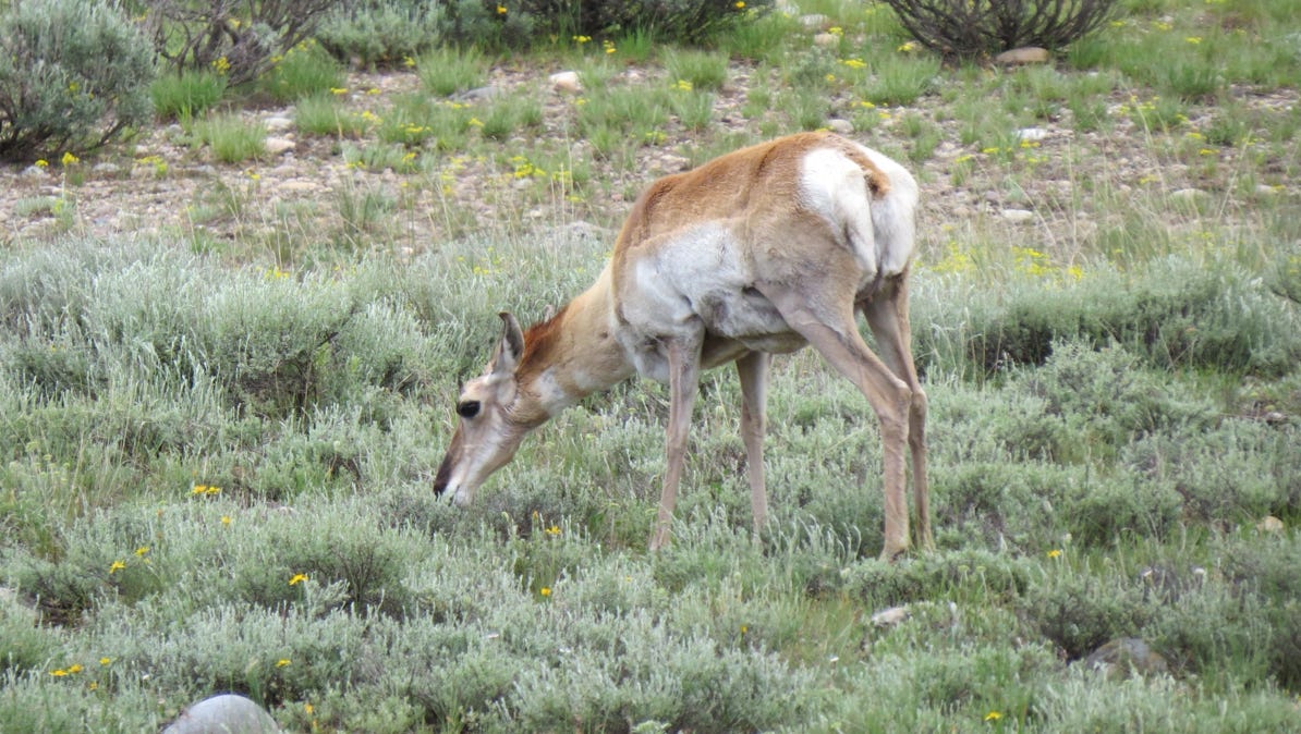
The next day the sky was brighter and we moved up to the area north of Moose. This is a Pronghorn Antelope.
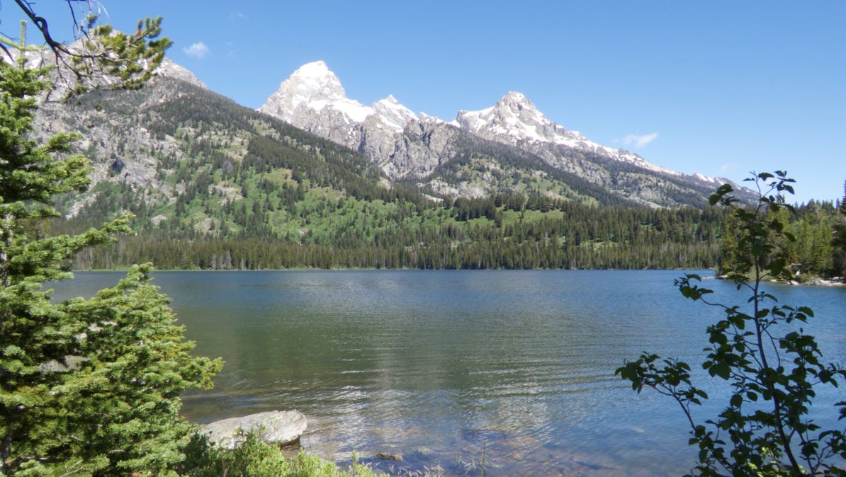
We took a ferry across Jenny Lake and hiked up to Inspiration Point (bright green pin on the map), about 400 feet above the lake.
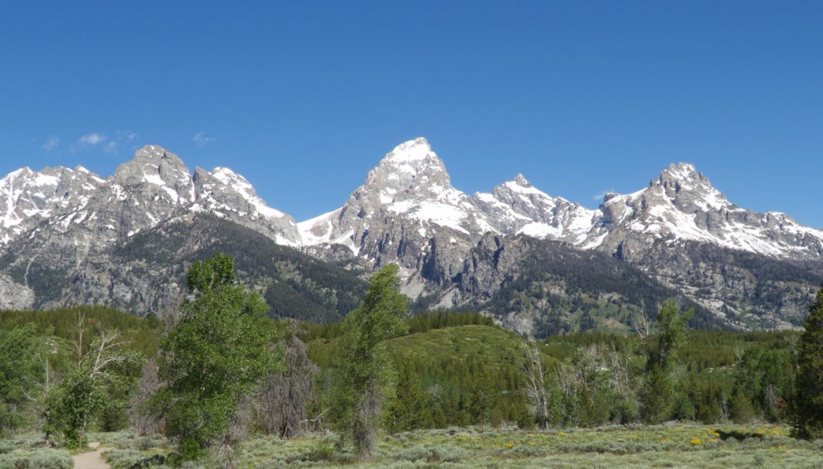
By noon, the sun was shining brightly.
We pressed on to the north to Jackson Lake Lodge (burgundy pin on the map) for lunch. After the meal, the clouds were back, but the view from the lodge was still quite good. Looks like good country to see a moose (but we didn’t).But we did meet a woman who exclaimed, “I’m from North Dakota. This is the first time I’ve ever seen mountains!”
We turned south (back towards Moose) and visited Mormon Row again (the same blue pin on the map). This time baby bison were close to the road.
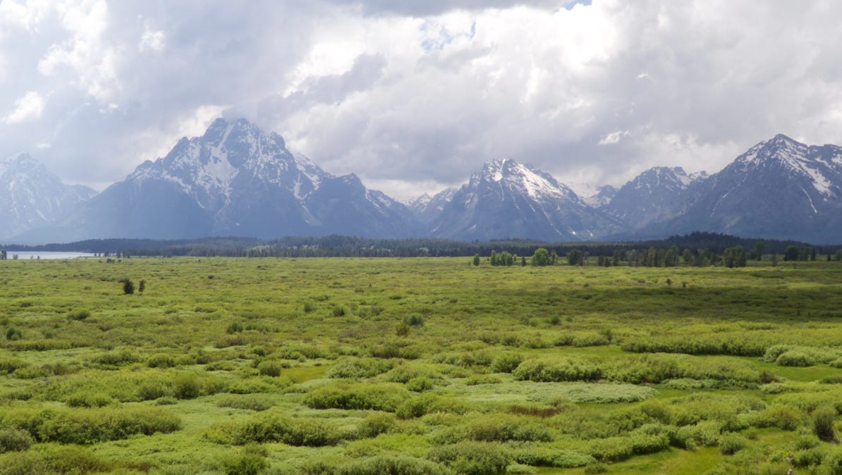
The next morning was fantastic—no clouds! We drove north, through Moose to a 4-mile trail around Taggert Lake (it’s a loop walk in brown on the map). The trail had wonderful views.
The next morning, June 14, was fantastic—no clouds! We drove north, through Moose to a trail around Taggert Lake (it’s a loop walk in brown on the map). The trail had wonderful views.
We then drove back to Moose for lunch via Mormon Row (the sun was out).
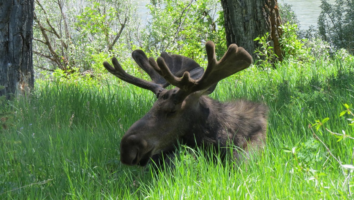
Historic Menors ferry is at Moose, and as it turned out, so was Marty the Moose. He was taking a nap by the side of the Snake River.
After lunch we met a rafting company in Moose and drove north a few miles to a launching spot on the Snake River. It’s the northern ship pin on the map.
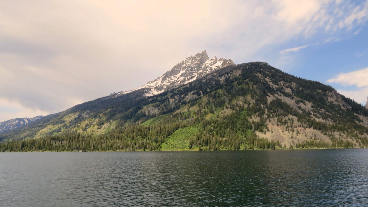
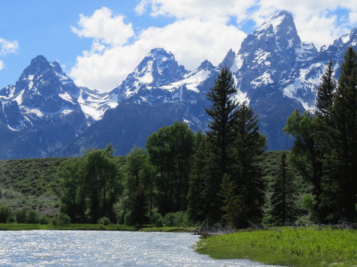
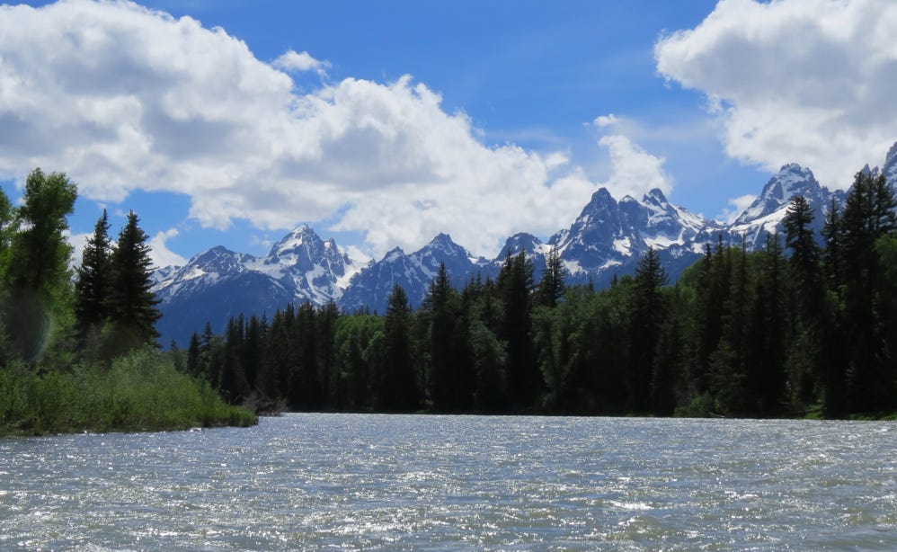
We floated downstream, and got a breathtaking view of Grand Teton.

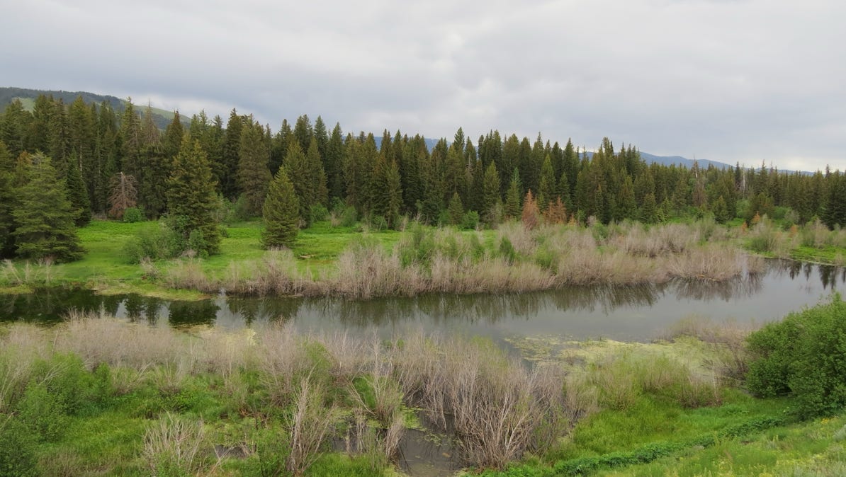
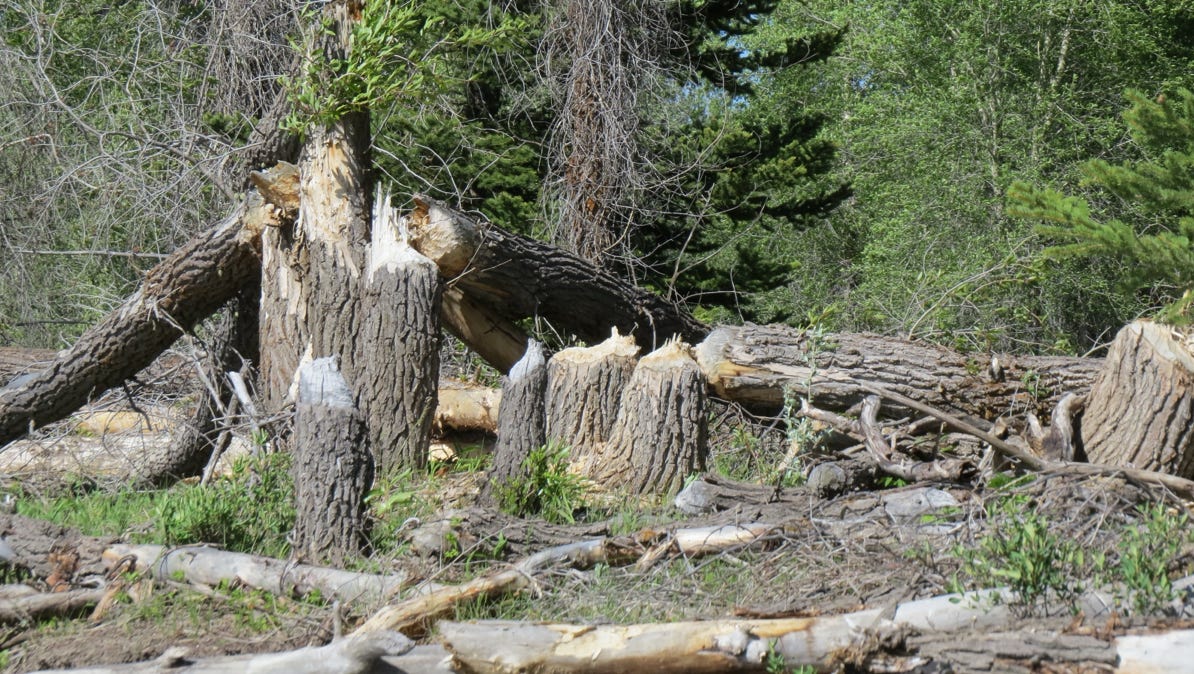
At one point on the river we saw what beavers can accomplish!
Here’s a short video showing what things looked like from our raft.
The next morning we drove back through Moran and past the Jackson Lake Lodge (burgundy pin) on our way north to Yellowstone Park.
We flew to Jackson Hole, Wyoming and spent three days driving around Grand Teton National Park.
Next—a drive north to nearby Yellowstone National Park.