
#3—Elmwood Park
Walk #3—Elmwood Park
Sunday, 29 July 2012
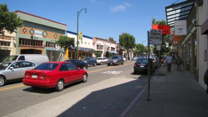
It was sunny and 62F when we started out in front of the Wells Fargo bank on the corner of College and Ashby. The first stretch is up College, through a part of the Elmwood shopping area. Look for a fun pet shop, Your Basic Bird. Mrs Dalloway’s Bookstore is also worth a stop.
Here is a map of the walk (pink color). You can enlarge it to see the staircases and paths, and switch to other views (eg, satellite) to see the area differently. Street view is also available. The blue pin is the start of the walk. The gray line in the map is the boundary of the two cities.
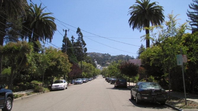
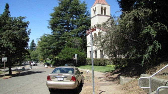
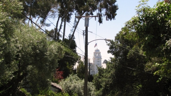
After turning the corner onto Russell Street, we could see the Claremont Hotel (Walk #2) in the distance.
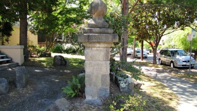
Here’s a stone marker for the neighborhood.
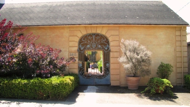
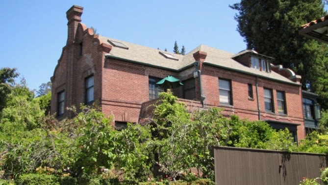
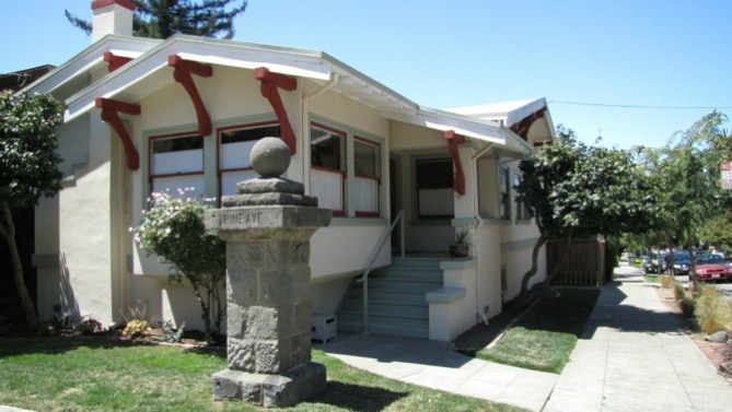
This house doesn’t fit in with the neighborhood, but it does have a nice looking inner courtyard.
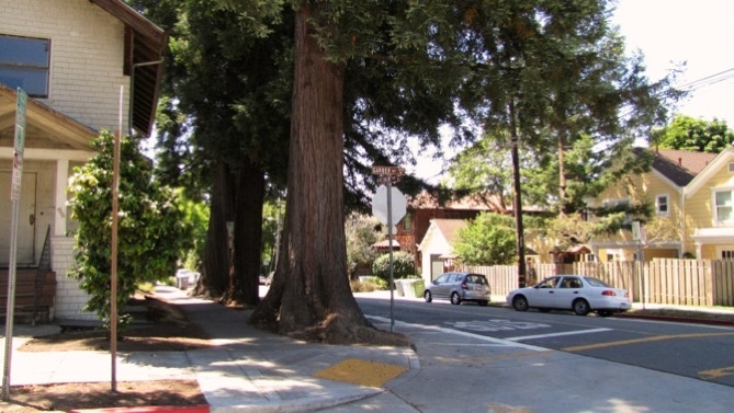
On page 26, the reader is told to look for three redwood trees that signal the start of Pine Path. The trees are cedars, though.
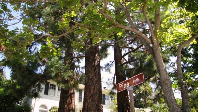
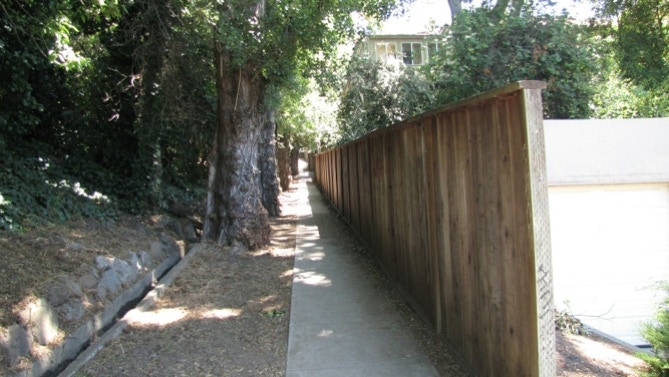
Pine Path starts out as a ramp, then transitions to steps at the end.
After reaching the top of Pine Path and turning left onto Avalon Avenue, Avalon Walk can be spotted.
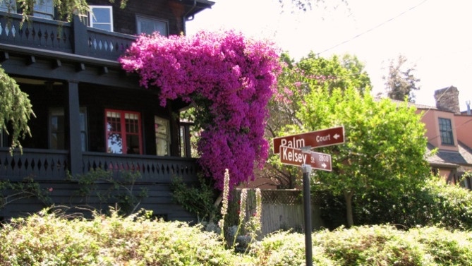
This is what the bottom of Avalon Walk looks like, when standing in the middle of Palm Court.
Here’s the map again. We’re at the yellow pin.
As Palm Court ends, you have a choice to walk down Kelsey Street. Don’t do that. The book is a bit confusing, as we almost did that. Later in our walk, we came across a couple with the book standing at Kelsey and Russell, lost. They had taken the wrong turn.
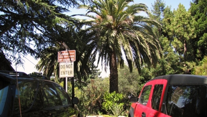
Instead, keep walking on Stuart Street, and turn right at Garber. There are redwood trees at the intersection.
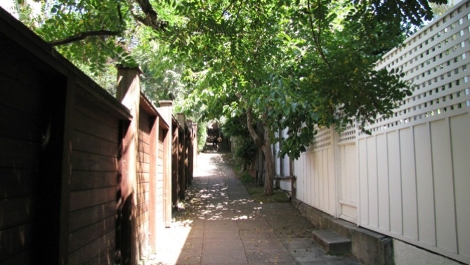
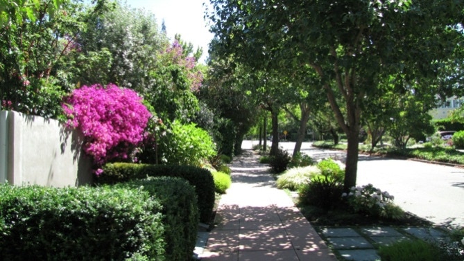
Here is what the upper part of Garber Street looks like. The “winding paved driveway” (page 27) is the next segment of the walk.

Here’s the other end of the curvy section, which is effectively a traffic barricade, to “calm” the neighborhood. Barricades are common in Berkeley.
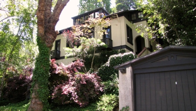
This is one of the nice houses mentioned in the book. The following picture shows the attractive Monkey Island Park, part of another traffic barricade.
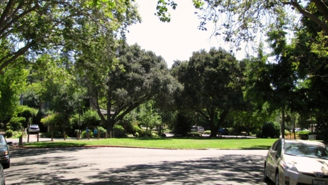
The next photo shows a very quiet part of Claremont Boulevard. On the other side of the busy street ahead is Garber Street.
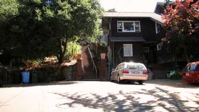
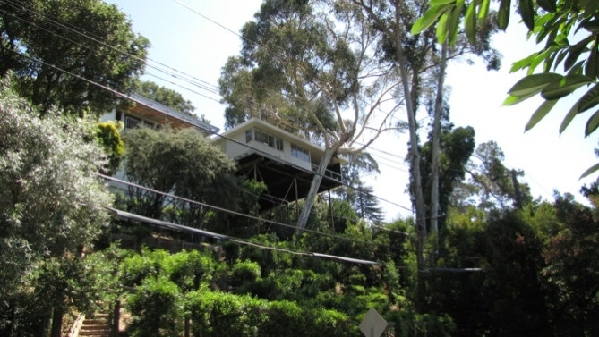
Here, we are coming out from Garber, turning left onto Tanglewood Road, and looking up at a house on stilts. It’s marked on the map.

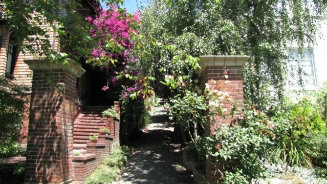
Through the gate you can see one of the noble stone lions mentioned on page 28.
At the end of Tanglewood Road, we turned right onto Tanglewood Path. Traffic diverters (here, concrete pillars) can be seen down at the intersection. We’ve driven through that intersection for many years and never knew about Tanglewood Path!
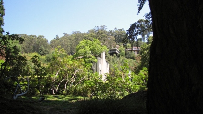
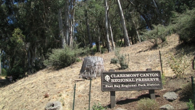
Tanglewood Path ends at this park. The stump is all that’s left of a eucalyptus tree in the Claremont Canyon Regional Preserve.
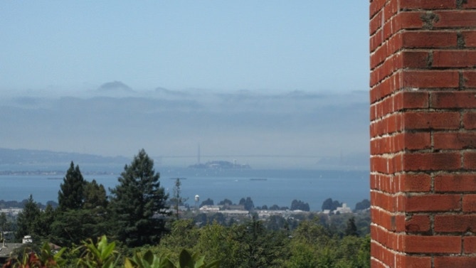
Now we are on Stonewall Road in Oakland. Here’s a foggy view of the Golden Gate Bridge and Alcatraz.
Looking down Stonewall Road, there’s the Claremont Hotel.
Here’s the house on stilts (built 1962?). It looks like it’s all about the view.
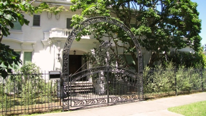
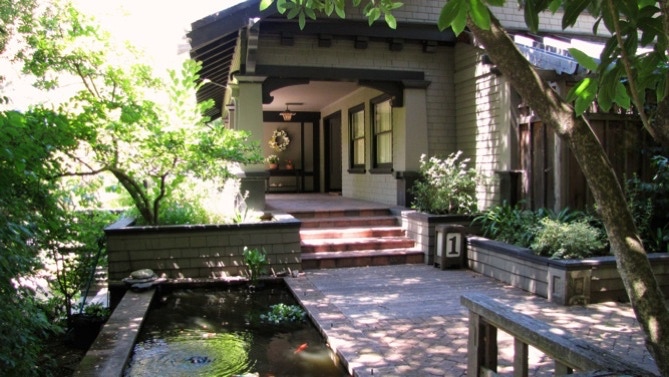
Down at the end of the street, corner Claremont Avenue (which is not Claremont Boulevard), is the Greene and Greene (“style”) home with the koi pond (page 28). It was built in 1912.
At this point, we’re just across the street from the Claremont Hotel. Moving along, we get back to Garber Street in Berkeley and this fine house with beautiful landscaping.
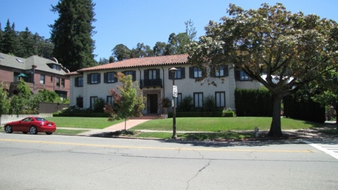
Back on (the busy part) of Claremont Boulevard, the houses are really big. This one, built in 1910, is quite good (Tour No. 21 in “41 Berkeley Walking Tours”, referenced on page 226 in the Fleming book).
Next door is a house designed by Julia Morgan and built in 1928.
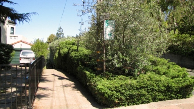
We turned at Avalon Avenue, on our way to Oak Knoll Path. Here’s the entrance to the easy path, and the view at the other end.

Here’s the map again.
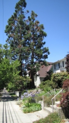
We’re approaching the three cedars again near the entrance to Pine Path.
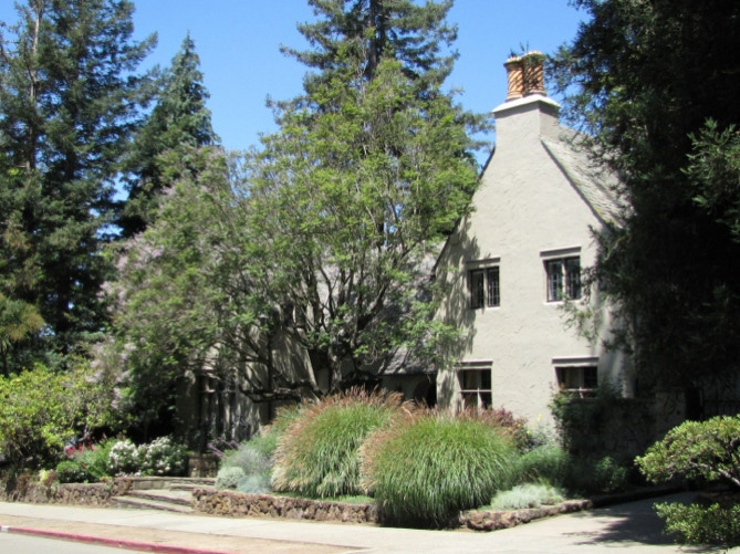
Here’s another monument, near the end of the walk. The house was built in 1916.
At the corner of Russell Street and Kelsey Street, we saw a couple huddling, looking at a book. On the map, they are represented by the two walkers. Of course, the book was Secret Stairs. They had made the easy mistake of turning left onto Kelsey at Palm Court! We sent them back to Garber.
This walk is in an area above the Elmwood shopping area, which runs along College Avenue in Berkeley. Most of the walk is in Berkeley, and a small bit is in Oakland.
The book reports 159 steps and 2.5 miles. The step count looks right; the distance is 2.1 miles. (calculated by Google maps). Note—consider only bus line 51B if you’re riding the bus to the start of the walk. The other lines mentioned in the book only run to take students to and from middle and senior high schools or between midnight and five in the morning.
Next—Panoramic Hills, above the University of California campus.
