
Peloponese Part 1
Wednesday—Saturday September 9—September 12, 2015
We flew 136 miles/217 km from Santorini back to Athens.
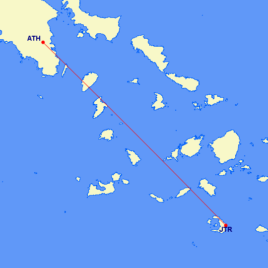
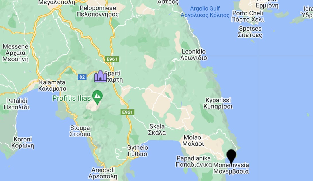
At the airport we rented a car and drove out to the Peloponnese peninsula. Our first stop is near Mystras, a Byzantine city. It’s at the church pin towards the southern section of the peninsula. Mystras is quite close to Sparta.
The highway goes through the center of little towns, and some of the streets are narrow! We have discovered that not only are the maps and street signs not in agreement with spelling, the GPS has its own way to spell out the names of towns! Finding things is challenging.
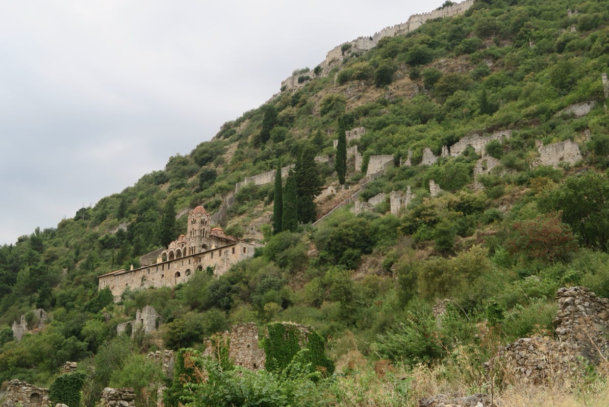
The town has two levels, a fort on top of a very steep mountain and then the city with its churches at a lower level. The city is in ruins and is now a UNESCO World Heritage site. The city dates back to about 1249.
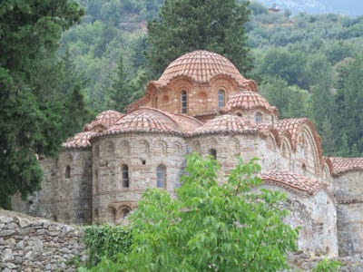
A part of the fort’s walls is visible in the photo, as are some of the surviving lower buildings.
Here is a close up of one of the buildings.
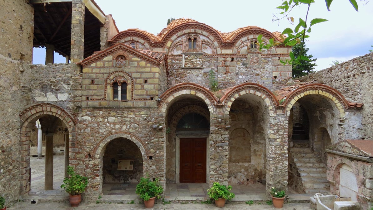
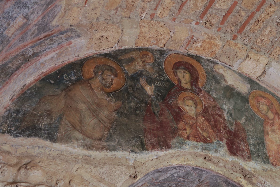
Some of the interiors were too dark for useful photography. This mural was in a brighter building.
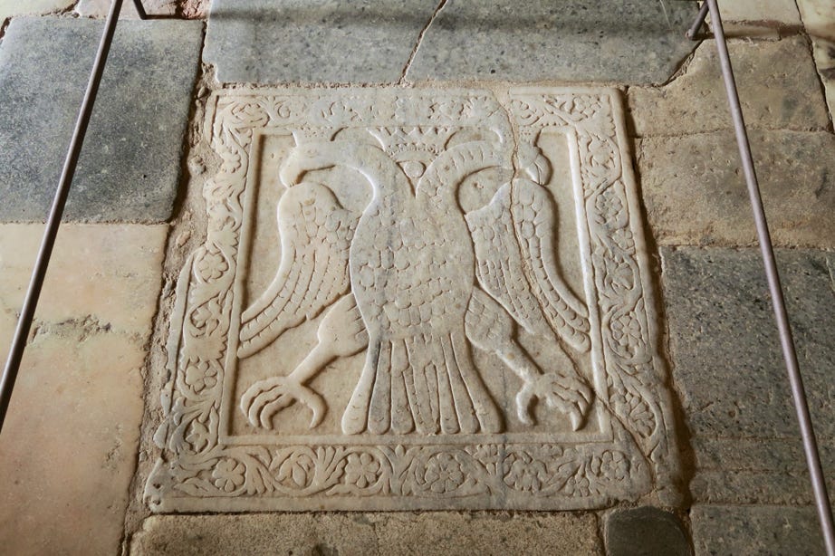
Our guidebook says this double–headed Byzantine eagle “commemorates the coronation of Constantine Palaiologos,” the last Byzantine emperior. That event took place on January 6, 1449.
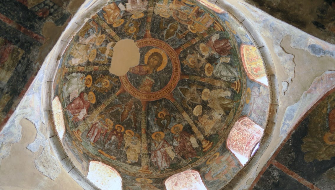
More interior decoration.
Mystras did not have a lot of tourists walking around during our visit.
The next morning, Thursday, we drove south to Monemvasia, at the black pin on the map.
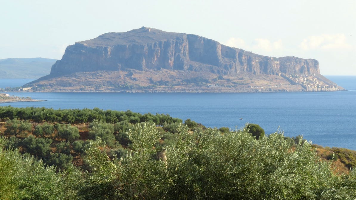
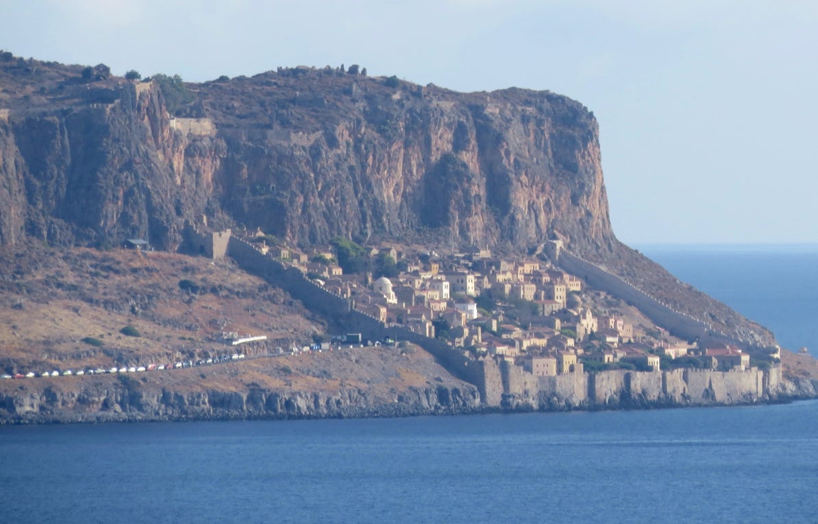
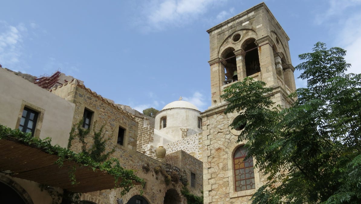
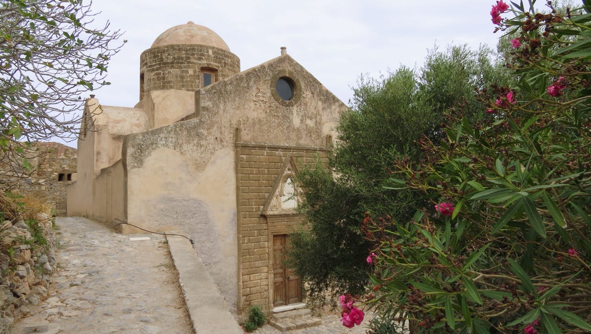
Monemvasia is on an island, with a Byzantine fort way up a steep mountainside, and a city lower down. They date back to 583. Unlike Mystras, Monemvasia has residents and is alive. This photo shows the island, and the next photo shows a close up of the city and fort.

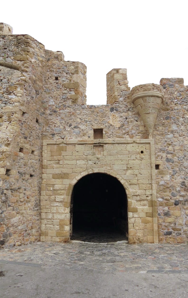
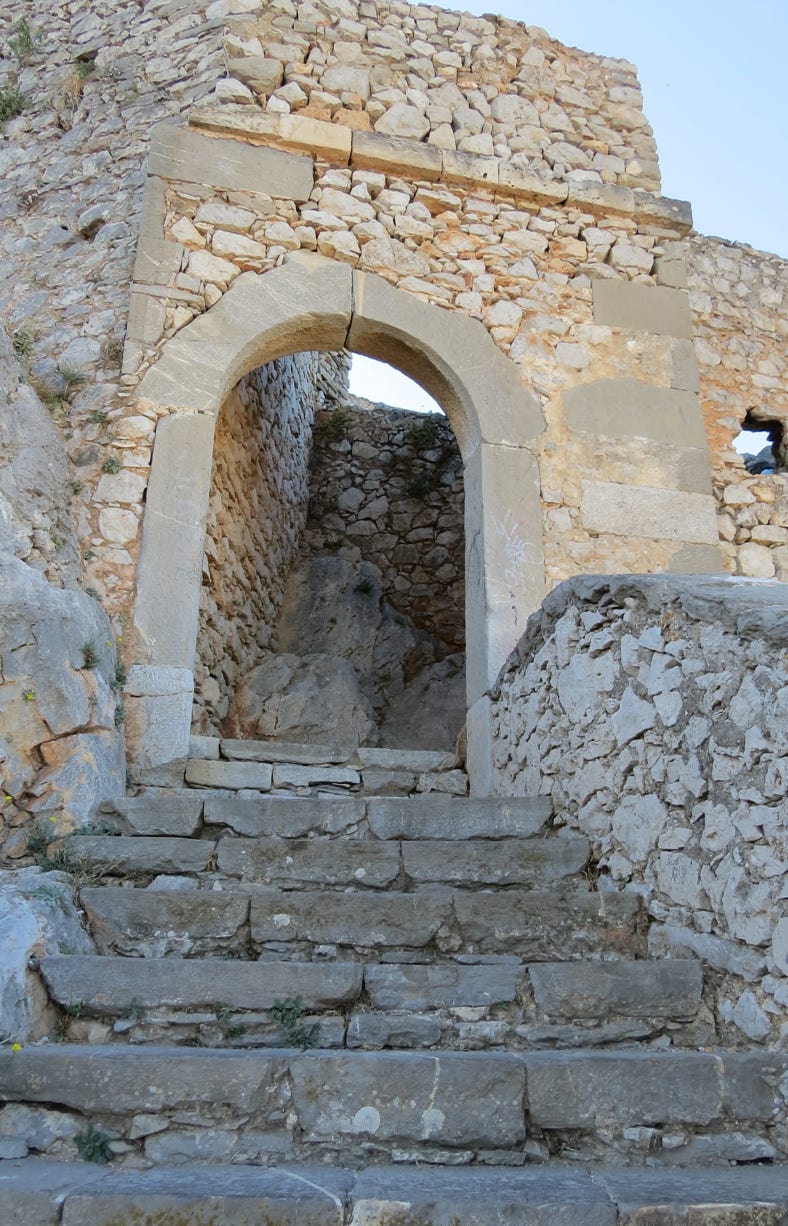
This is the entry gate to the city.
That gate is misleading! On the other side are several hotels, a roof top garden cafe and shops.
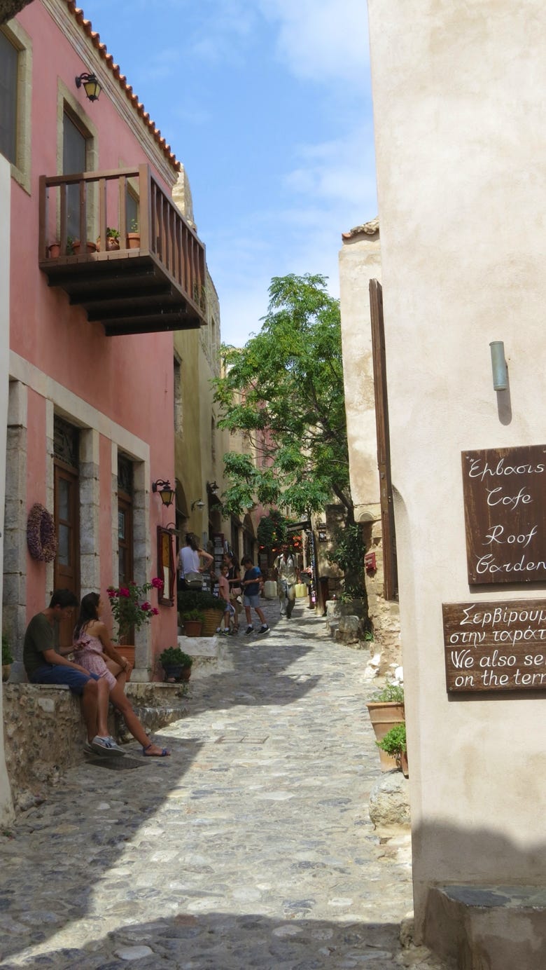
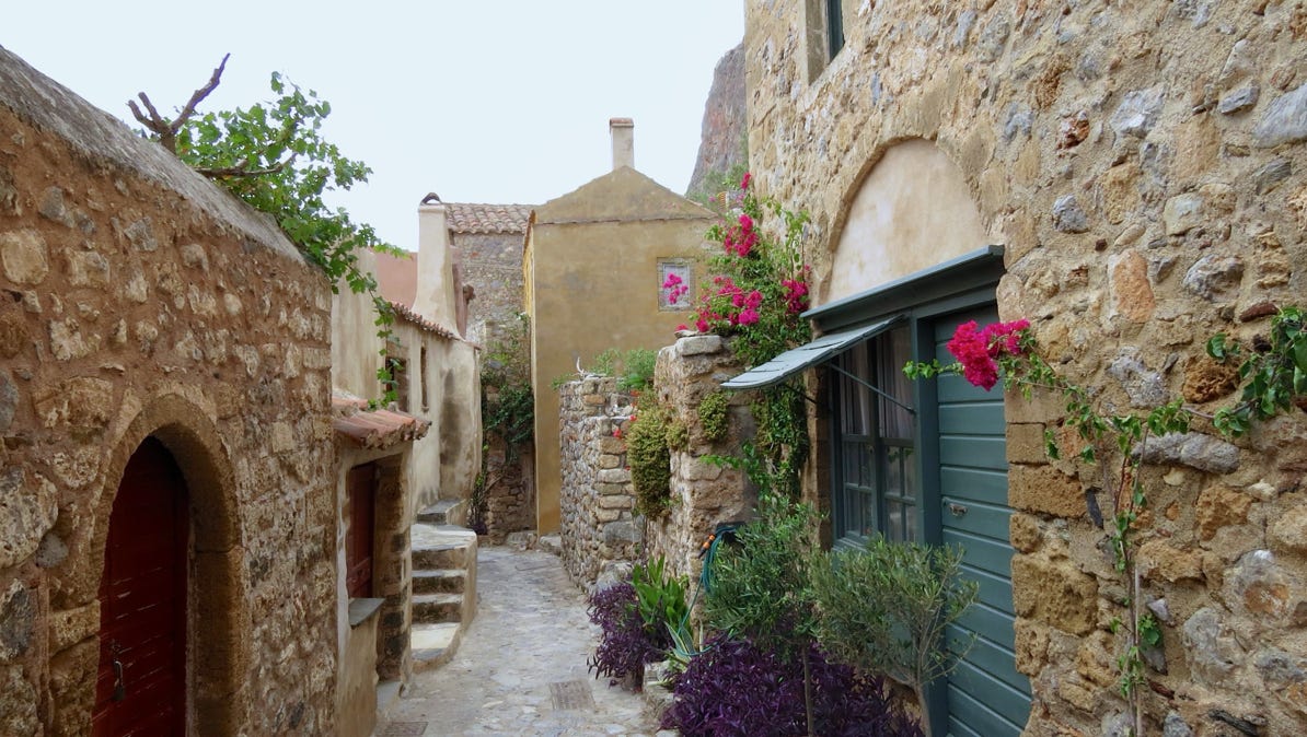
The next three photos show some of the scenery inside the city’s walls.
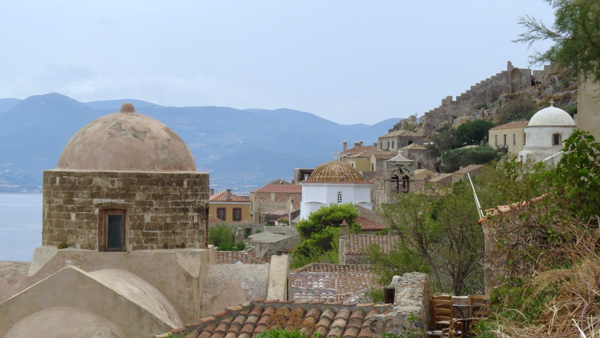
This photo looks back towards the entrance gate. The walls are easy to see at the upper right.

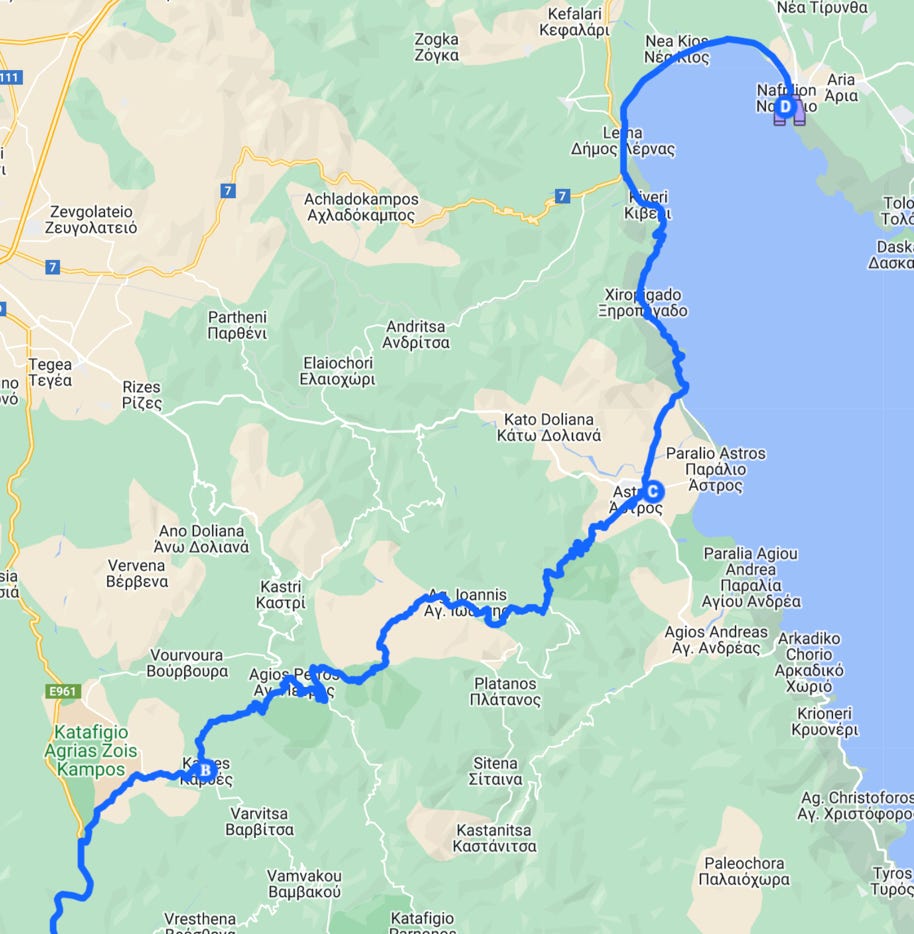
On Friday morning, we set out for Napflio. Despite the maps, the GPS and the road signs, we managed to get lost in the middle of nowhere. A woman filling water bottles at a spring pointed us in the right direction.
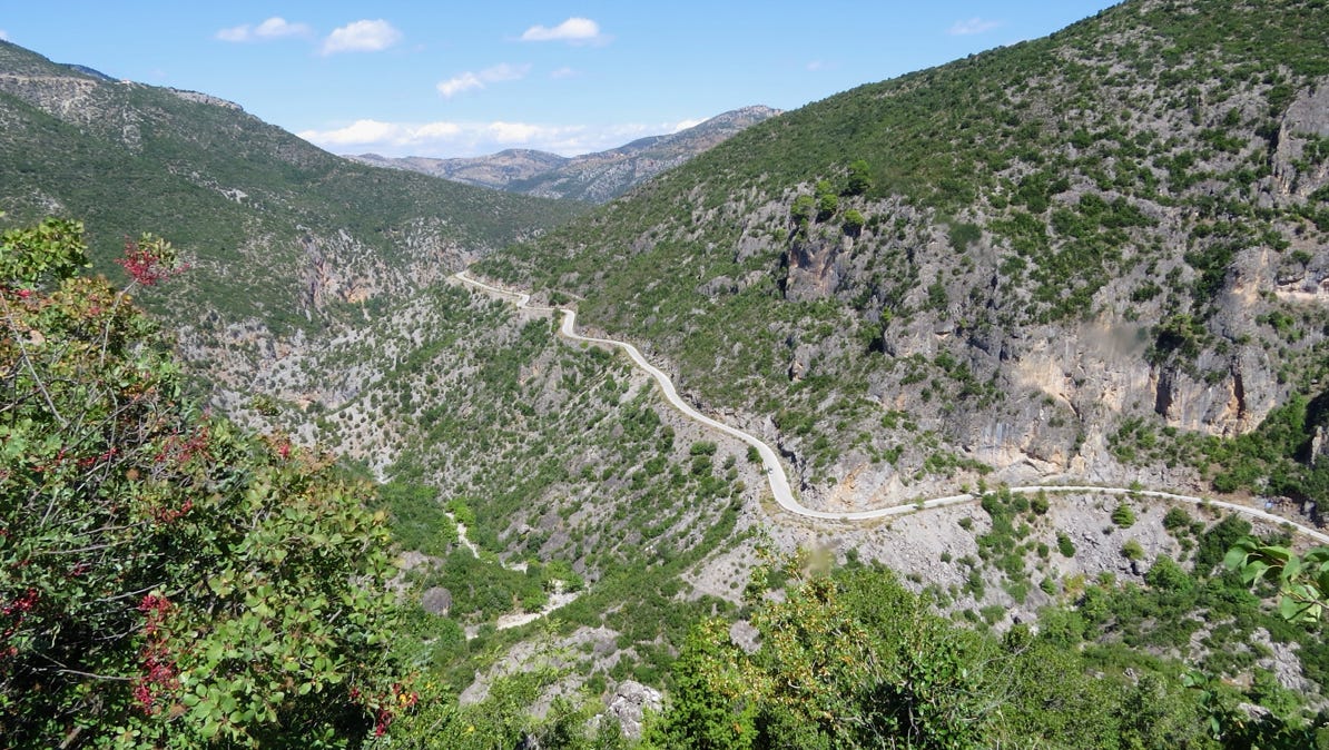
We went over an hour across the mountains on the blue line without seeing another car! Napflio is at the binocular pin on the map.
This is what the road was like. Lots of twists and turns.

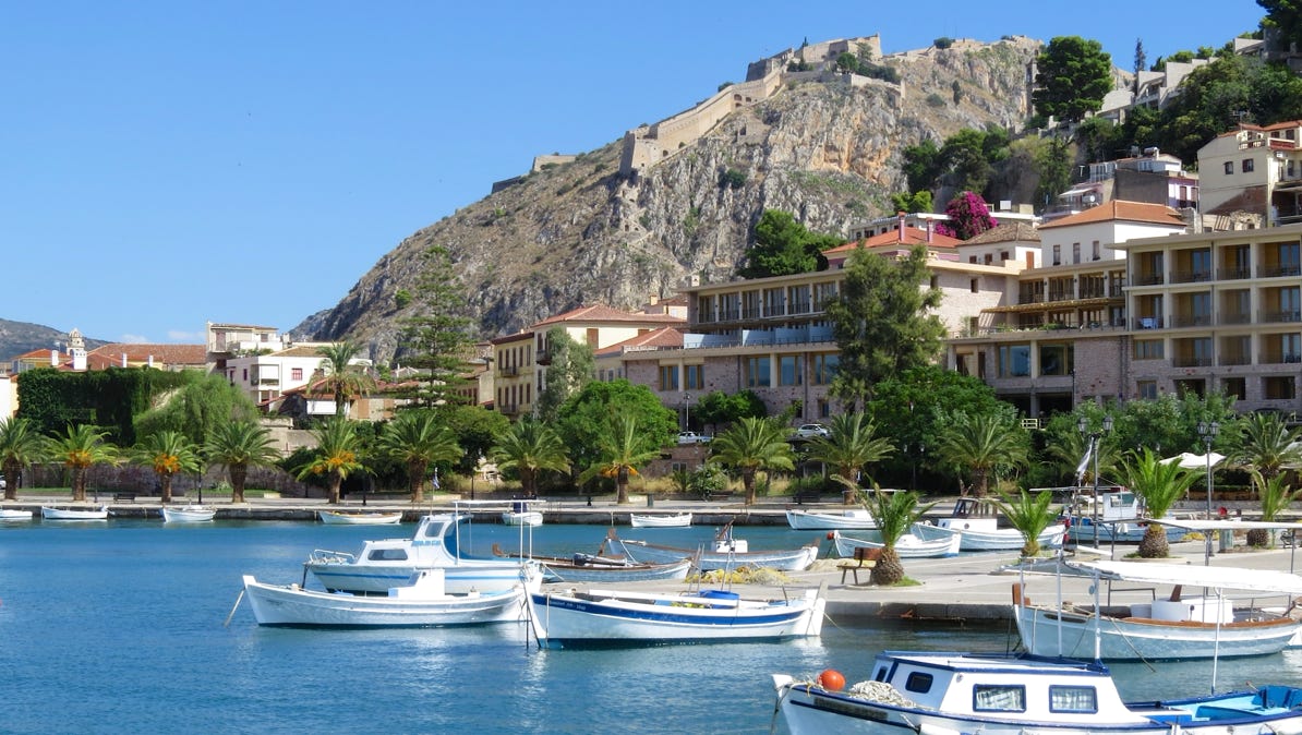
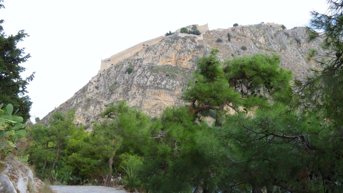
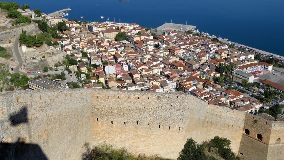
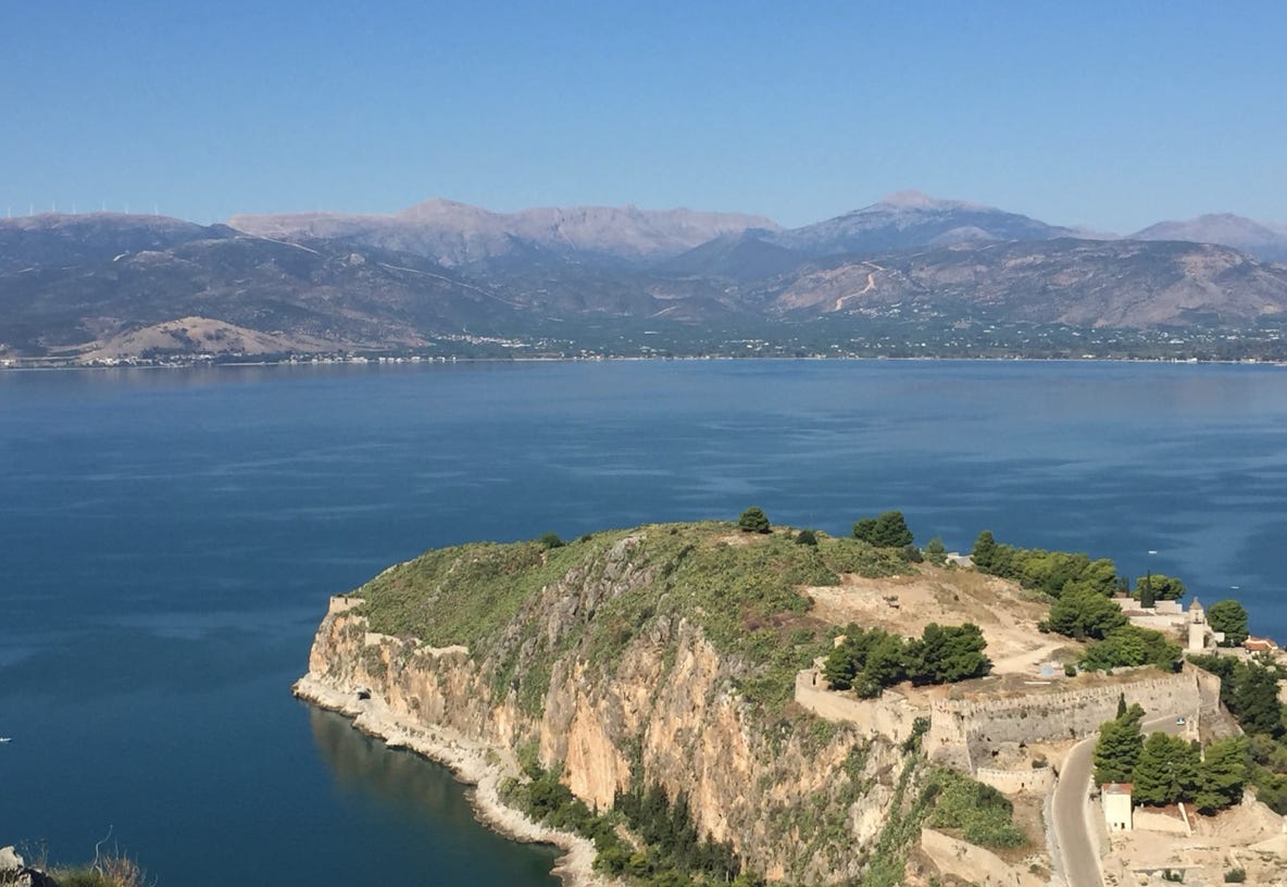
It was hot, really hot, when we got into Napflio. We stayed in a big section, the old city, that wasn’t built to handle automobiles. To get our bearings, we walked out to a pier and looked up at the big fort. The staircase to get up there has 1,000 steps.
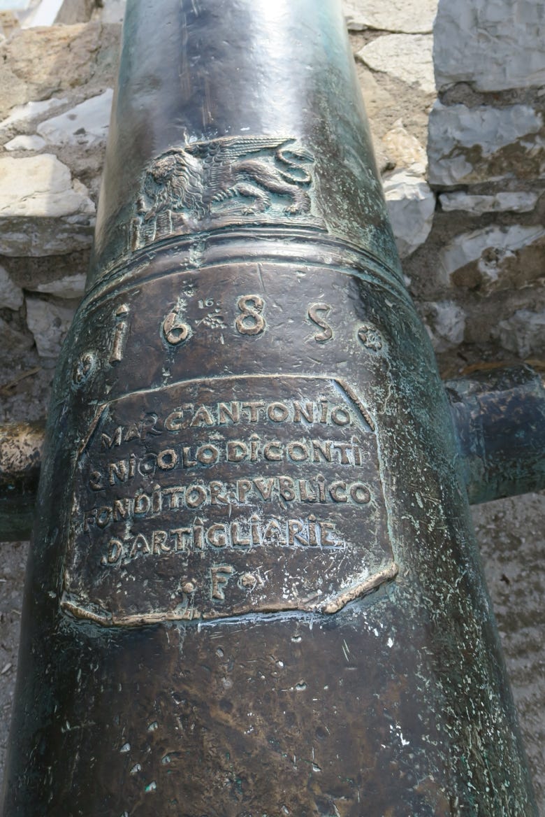
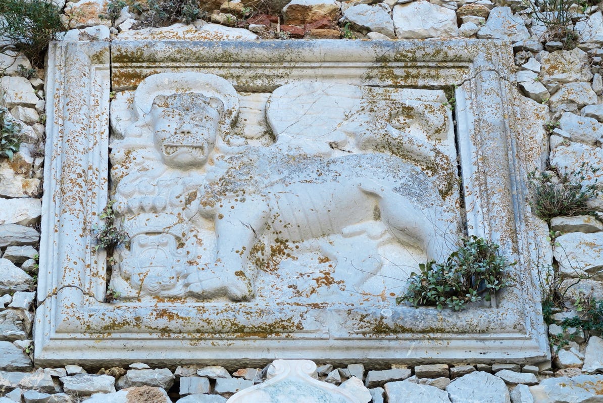
Napflio was once connected with Venice. The Lion is visible on this cannon.
In the afternoon, we went on a walk by the sea.
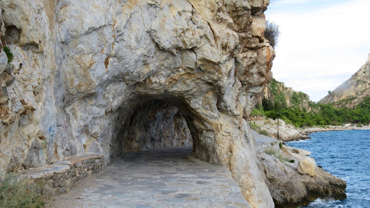
While on the walk, we decided to climb the 1,000 steps to the castle.

And so, we did. Here’s the view back down to the old city.
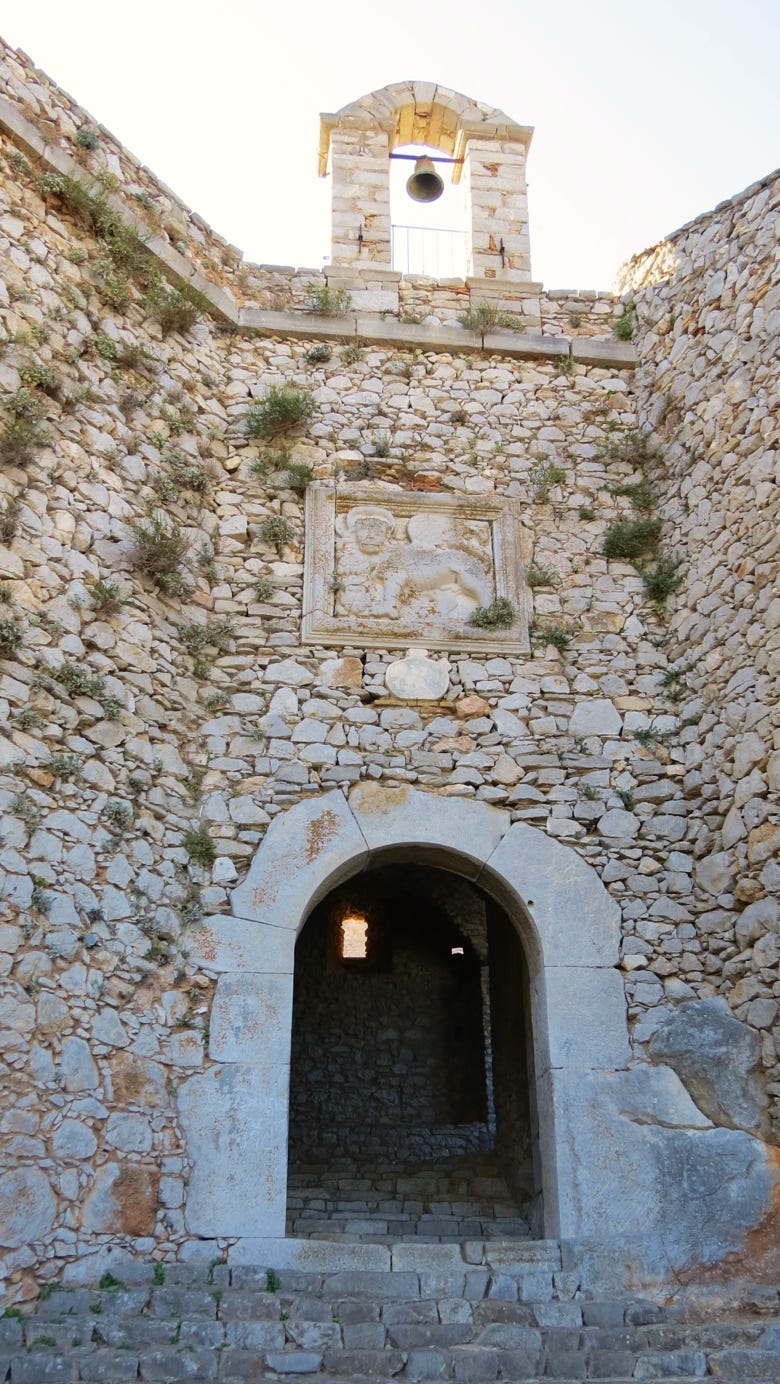
Here is another Venetian lion.
The steps are in good condition. One more view, below.
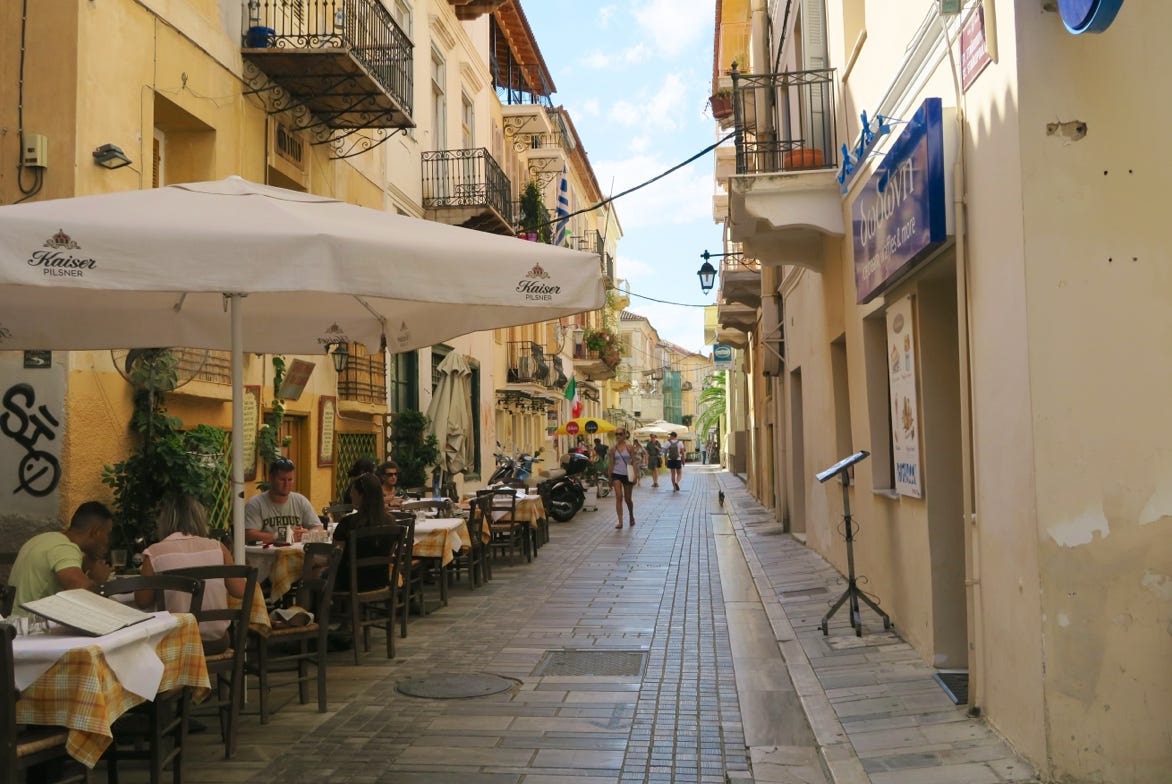
The old city is a pleasant place. Lots of restaurants and cafes have outside seating.
Tomorrow we are going to do a day trip to Mycenae, another ruined city.
We arrived in Athens mid–morning, rented a car and drove west and south into the Peloponnese. Our first destination is an abandoned Byzantine city near ancient Sparta.
Next—Mycenae and Corinth.