
Cachi and Cafayate
Tuesday–Thursday November 6–8, 2007
Argentina is a huge country, and flying from one city to another saves a day or more over driving a car or taking a bus. However, it is very difficult to go from one city to another without going through the domestic airport at Buenos Aires, and so we flew to Salta from Iguazú via the domestic airport of Buenos Aires after spending another night in the capital.
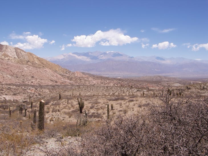
With our excellent guide and his comfortable four wheel drive car, we went south from Salta and then up into the Cuesta del Obispo, on the way to the Los Cardones National Park and its cactuses.

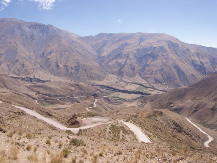
The mountain pass is at 10,500 feet, and the road was quite good. Here you can see the long climb towards the top.
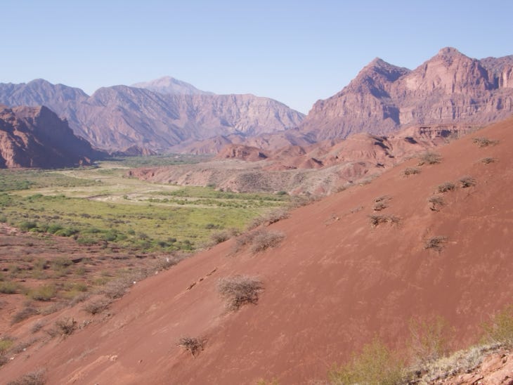
The Andes here have vegetation near water—every canyon seems to have a creek—and at lower elevations.
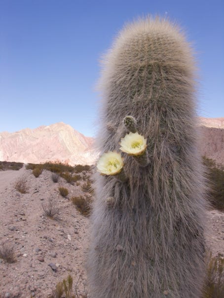
The cactuses were in flower throughout the region.
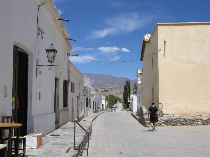
Cachi (blue pin on the map) is a small town in an oasis of sorts, and wine grapes are grown in the area. The town’s elevation is 7,200 feet. This is a typical street scene. Salta is 100 miles away, and Buenos Aires about 1,100 miles away.
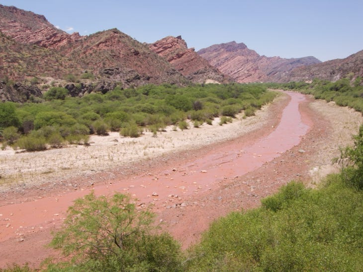
The next day we drove south along paved highway 68 and beside a red river to the grape growing region around Cafayate, about 115 miles distant, the pink pin on the map.


The colors of the earth in this part of Argentina include black, gray, yellow, white and here, red. Goats feed along the river, and their milk is turned into a cheese somewhat like feta.
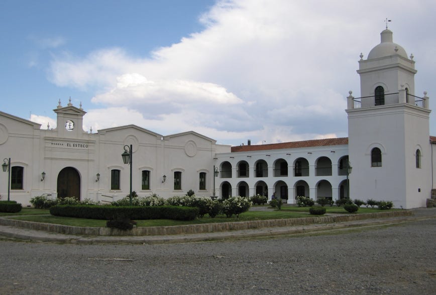
Our hotel in Cafayate was near this winery.
We flew from Buenos Aires to Salta, and rented a car for a week. We visited another National Park, this one featuring cactus, went to a wine growing area, and drove through the Andes in different directions.
Next—back to Salta, and continue north past Jujuy to Tilcara and the Quebrada de Humahuaca.