
South to Turnigan Arm
Saturday—Sunday June 28-29, 2014
We got up and discovered that the sun might just come out and give us a shot at seeing Mt McKinley. Here’s what we saw not long after our departure.
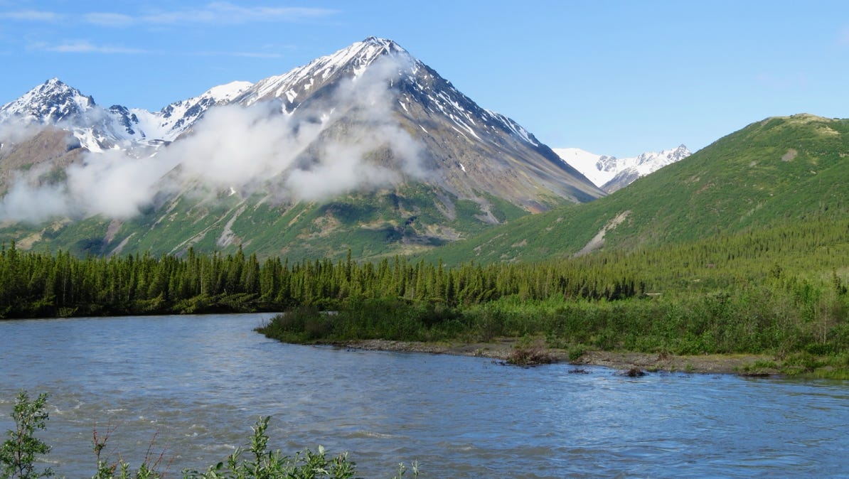
The visibility is definitely much better than yesterday!
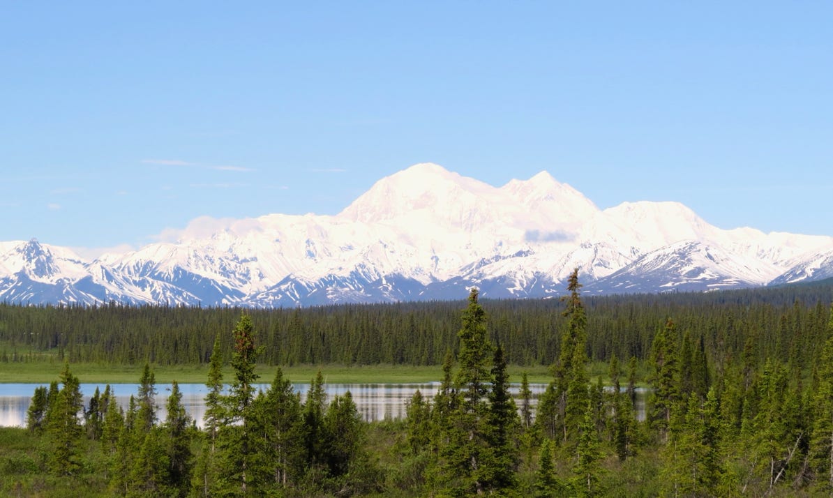
We drove on, and at the first camera pin on the map, we saw Mt McKinley.


The visibility is definitely much better than yesterday!
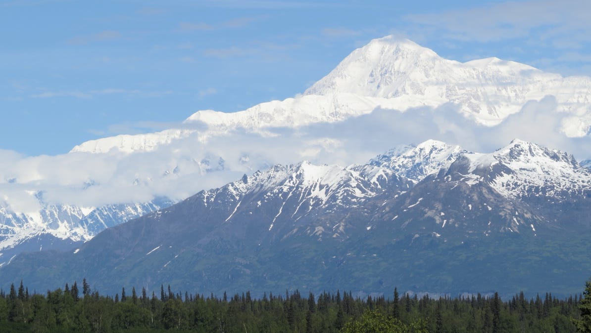
We drove on, and at the second camera pin, we got another great view. It’s a big enough mountain, you don’t have to be close!
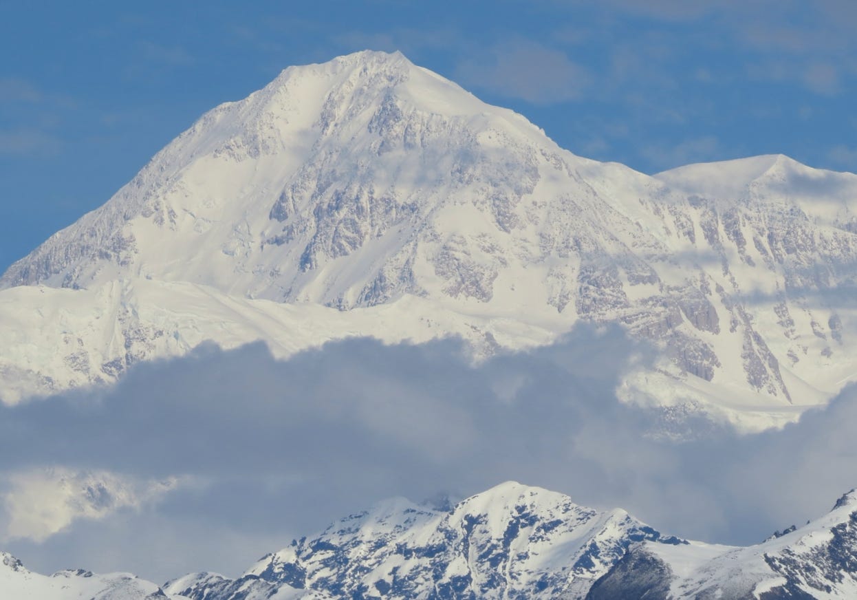
The highway department has parking areas at these two “Denali viewpoints.” Here is one last photo of the 20,237 foot/6,168 meter mountain from the southern viewpoint.

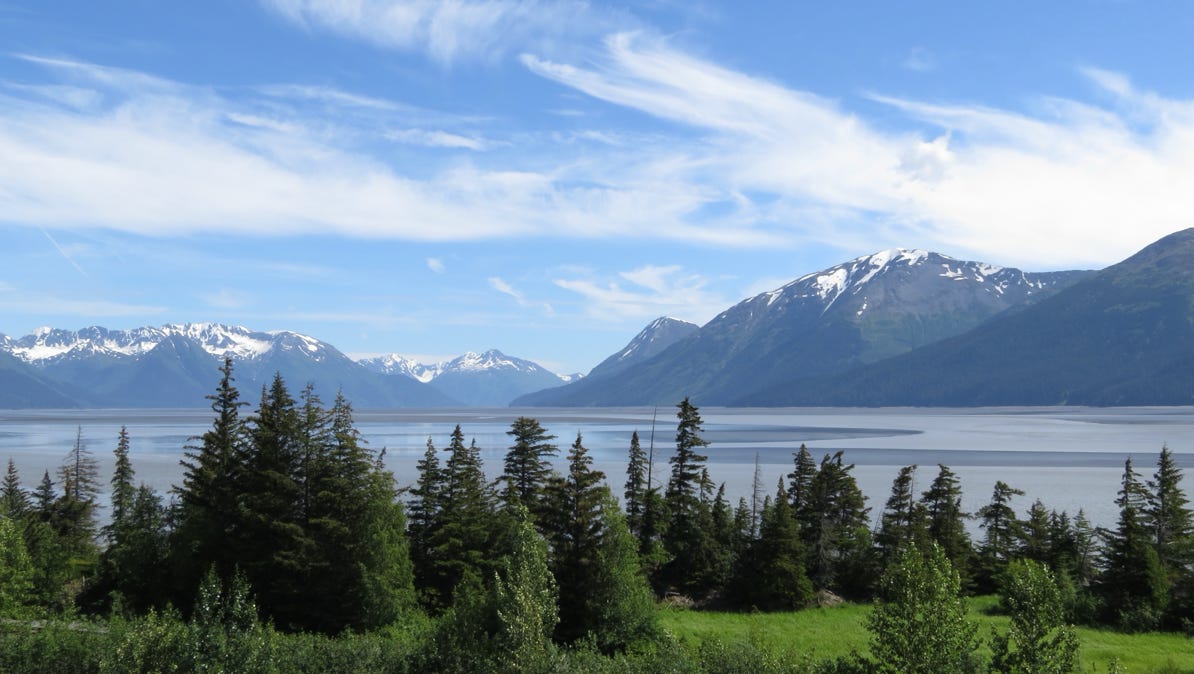
We pressed on, and after driving through Anchorage (much bigger than Fairbanks) we saw Turnagain Arm at low tide.
Here are two maps. The first is a broad view of today’s trip. The second is an enlargement focusing on Turnagain Arm. We are going to stay near the pin of the two hikers.
Here is the map of the full trip.
Turnagain Arm is a big body of water. It’s famous for several reasons. The tidal changes are among the highest in the world (up to 27 feet/8 meters), and as the water comes in, people surf the surging “bore.”
Second, the name arises from a discouraging voyage made in two ships by James Cook and William Bligh in 1778.
Girdwood was destroyed in the huge 1964 earthquake. The village has been rebuilt, back from the water, and that was where we stayed the night. Our first exploration was to the Alaska Wildlife Conservation Center, which is located at the end of Turnagain Arm, where the highway makes a sharp turn back to the north. If the map is enlarged, the center has a mark to identify its location.
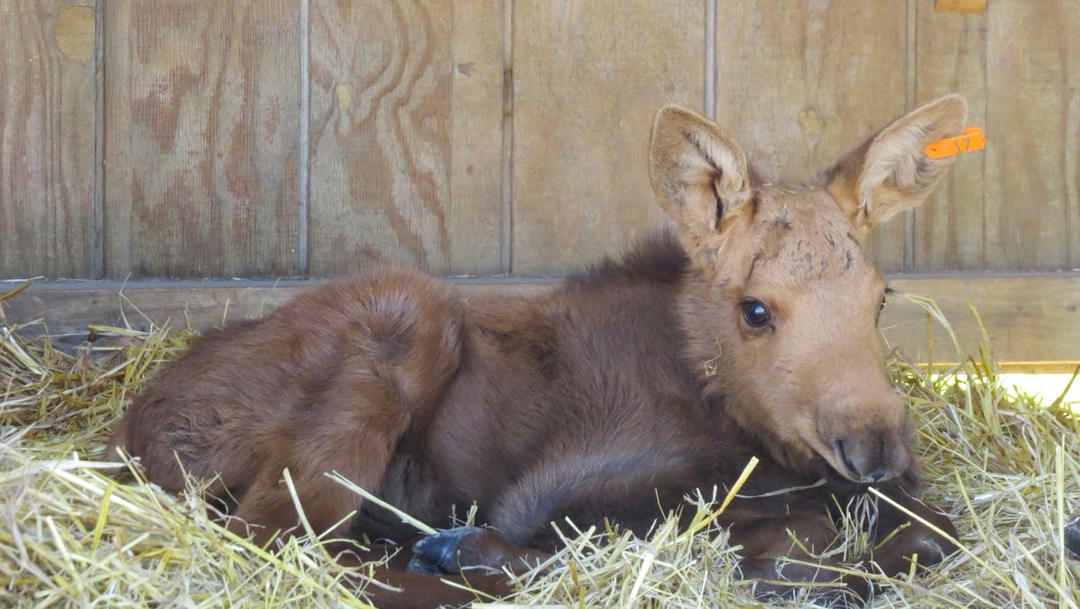
The AWCC looks after animals that can’t make it out in the wild on their own. The first example is a 30–day old moose. Someone had captured it (when the mother wasn’t paying attention) and took him to his back yard. Fortunately, that is not an allowable practice in Alaska, and the authorities took the baby moose to the Center.
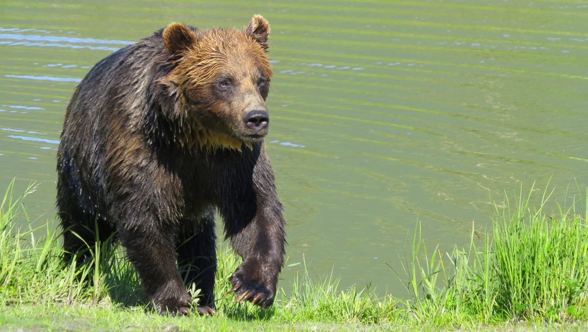
We were not sure we would ever get a picture of a bear out in the wild, so we present this brown bear just coming out of the water.
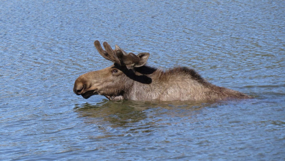
Here is a full grown moose, out for a swim.
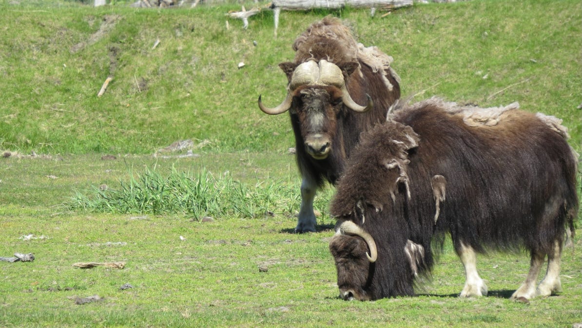
These are musk ox.
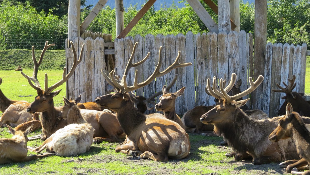
Caribou without any rain getting in the way of a bright photo.
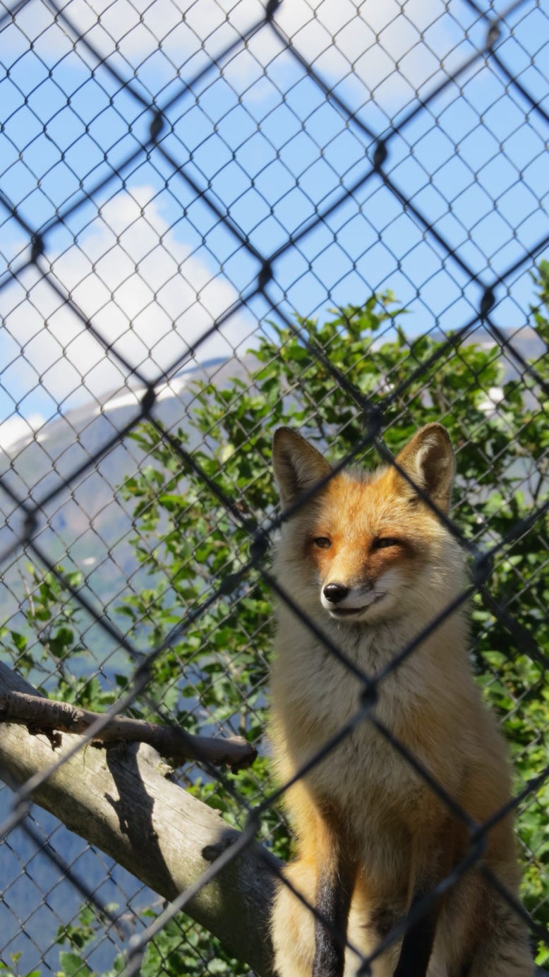
A red fox.
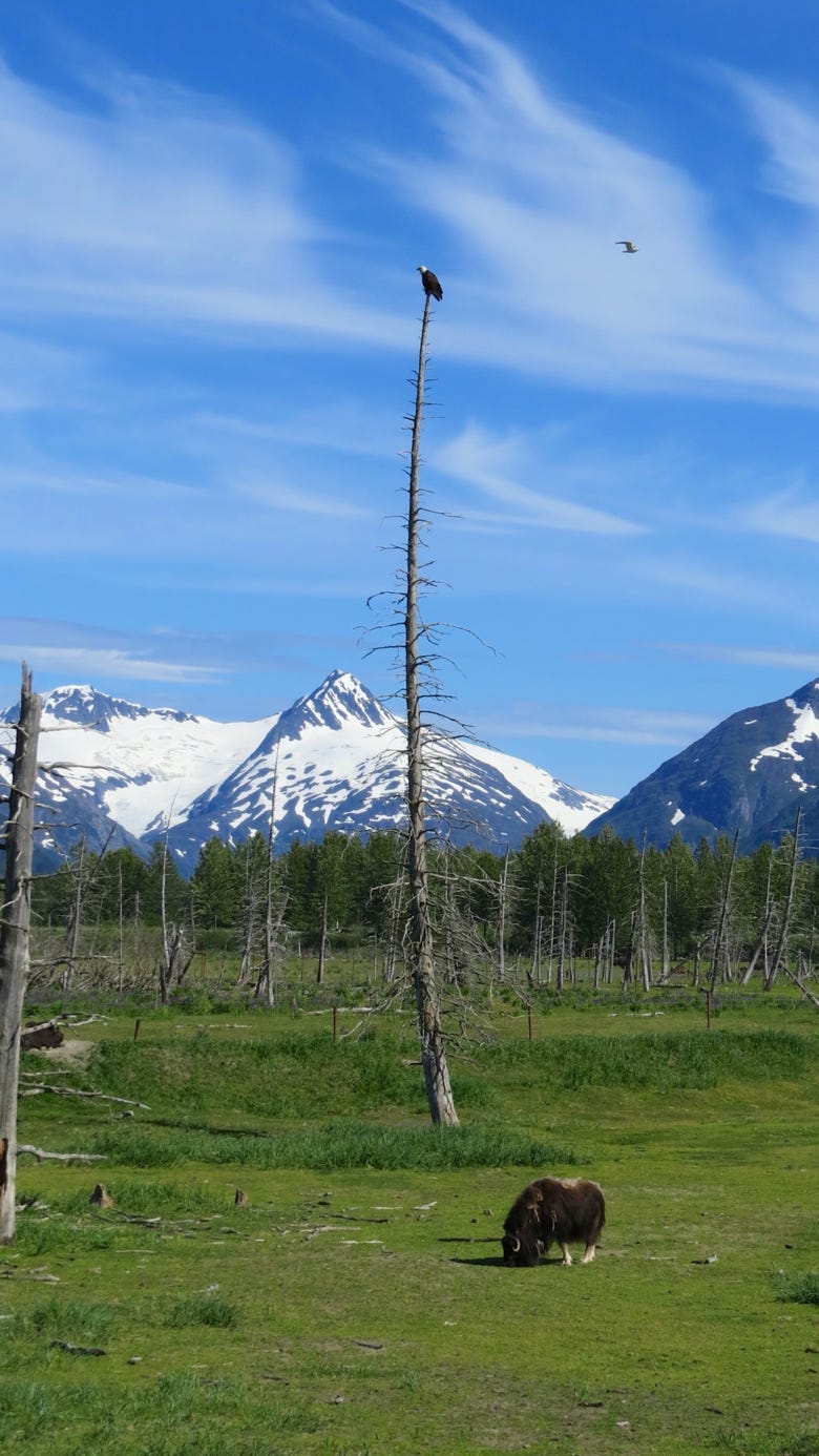

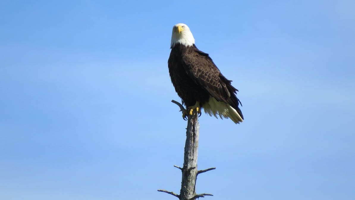
A musk ox with a watching eagle.
Here is a close up view of that eagle.
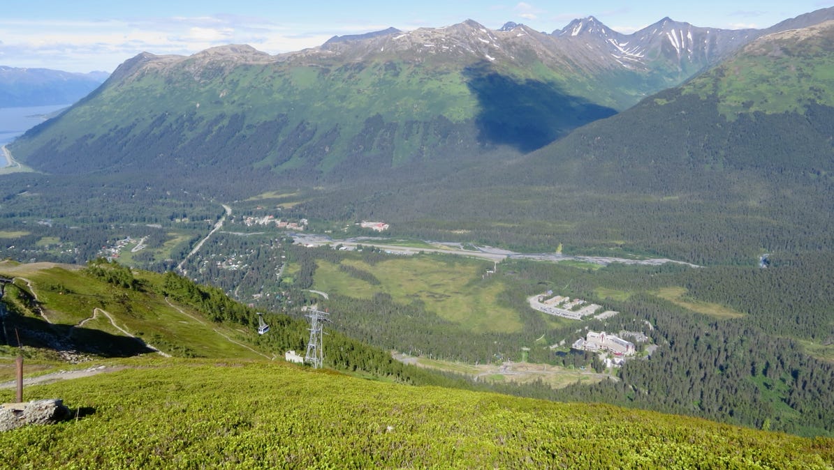
The next morning, we took a cable car up 2,000 feet/600 meters to go on a few short hikes. The cable starts at the Alyeska Resort. Here’s the view from up at the top (a cable car is visible in the photo to the left of the tower).
When we decended, we picked up a picnic lunch at the resort and drove over to the interesting Begich Boggs Visitor Center on Portage Lake, and then we walked up to Byron Glacier (see the snow flake pin on the map).
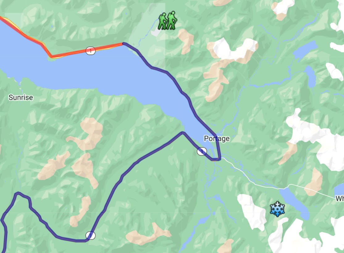
Portage Lake is the large body of water next to the snow flake pin. It only became visible in 1914 as Portage Glacier retreated. Also, it isn’t possible to see Portage Glacier from the visitor center any longer with the retreat. The satellite view of this map is worth a look.
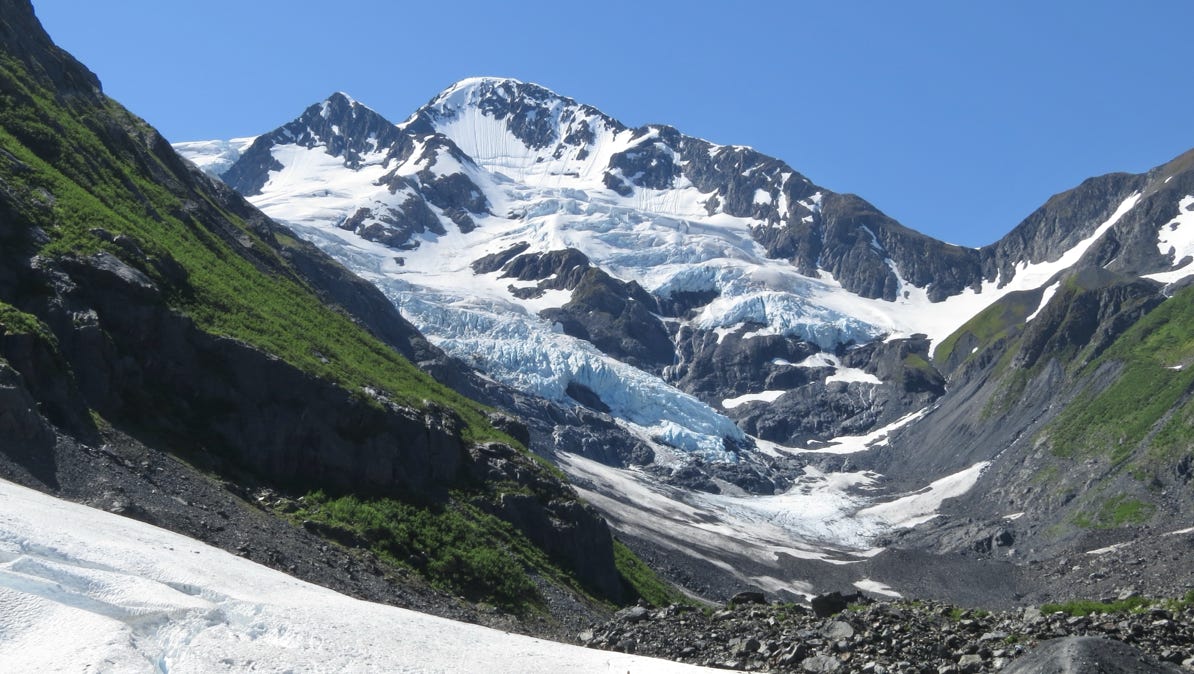
Byron Glacier is also melting. The next photo shows a few other visitors, for scale, at the lower right side of the glacier.
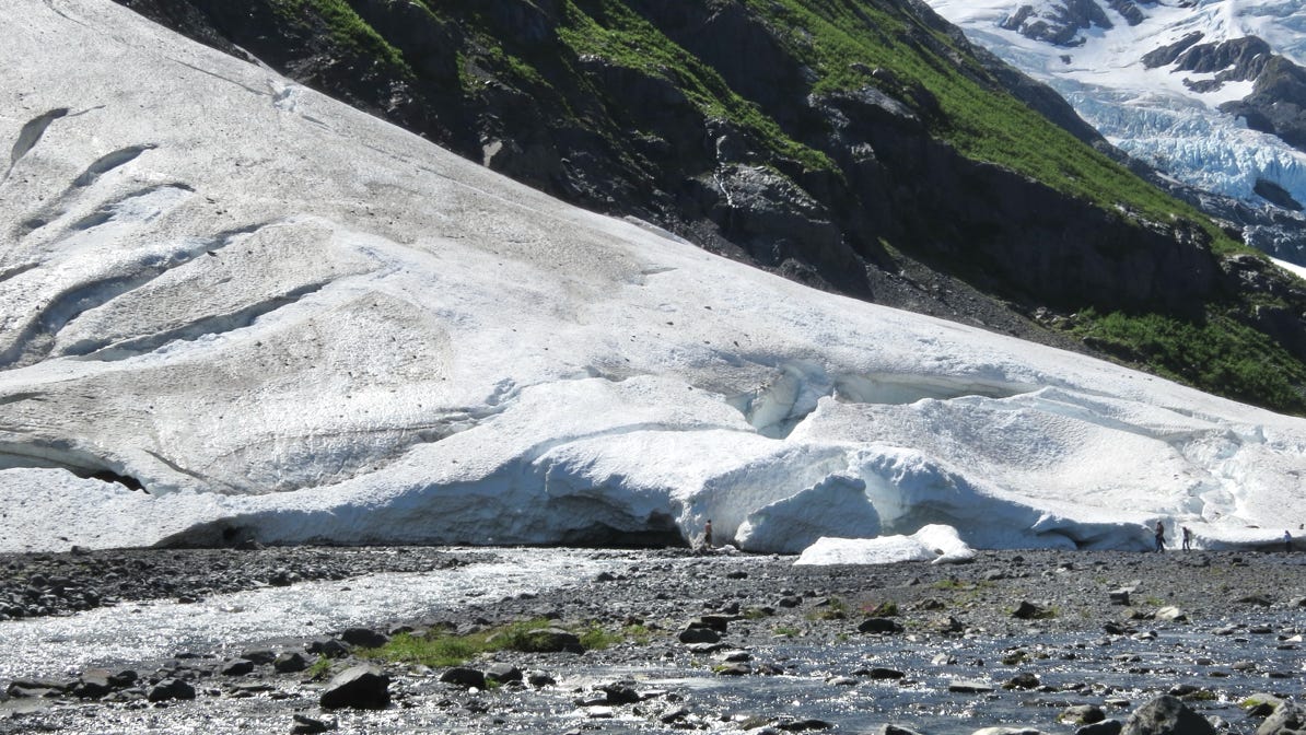
Farther up the glacial valley is more snow and ice.

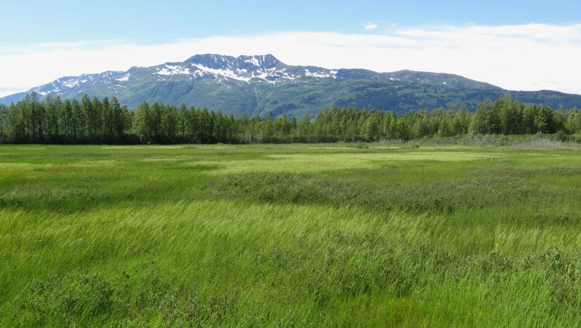
After lunch, we drove back towards Girdwood on Portage Glacier Road, and took several hikes, including along part of a trail of blue ice that skirts the three glaciers along the valley . What looks like a field here is actually wetland, with water at least one foot/30cm.
We drove south from the area of the headquarters of Denali National Park and hoped for a view of Mt McKinley. Our destination is Turnagain Arm, south of Anchorage.
Next—Seward and tidewater.