
The 49 Mile Walk
Saturday, 7 November 2009
The First Day
It is not clear if the 49 mile driving tour has a starting point, or if you just start driving anywhere along the route.
Since it was a beautiful autumn day, I thought we should start at the far southwest, at Fort Funston and walk north along the Great Highway. The map indicated our first 3 miles would end at Noriega Street.
It did not take very long to realize that the 49 mile walk and the 49 mile drive are not going to have exactly the same routes.
When we arrived at Fort Funston, we found that Skyline Boulevard does not have sidewalks. That, and the posted speed limit of 50 miles per hour, encouraged us to walk through the Fort grounds and not along the driving route.
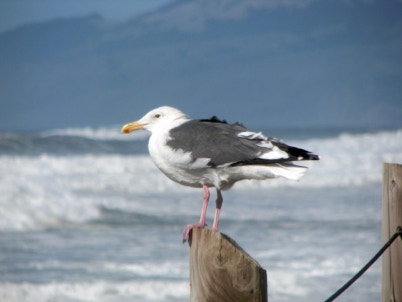
Fort Funston is a giant park for dogs. Seemingly hundreds of dogs were running around, all well behaved. The Fort’s trails are not well signed (unfortunately), but easy to follow. We moved north, and planned to come out at the Great Highway.
Two views from Fort Funston:
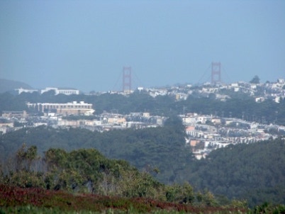
Looking towards the northeast.
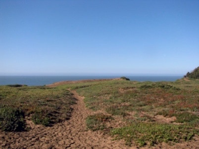
Looking west, out across the Pacific Ocean. Both of these views cannot be seen from a car driving on Skyline, the route of the 49 mile drive, because Fort Funston is higher than Skyline.
Just when we got to the northern edge of Fort Funston, and were ready to descend down to the Great Highway, we ran into a notice that the trail ahead was closed. There was nothing else to do but go back to the starting point, pick up the car, and drive down to the Great Highway.
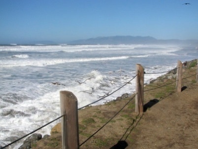
We drove up to Sloat Boulevard and parked the car. We walked south, as far as we could safely go, and then turned around and headed back to Sloat.
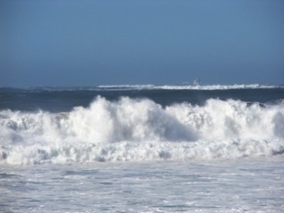
It was a breezy day, and the surf was as active as I’ve ever seen it here.
A departing ship in the heavy sea.
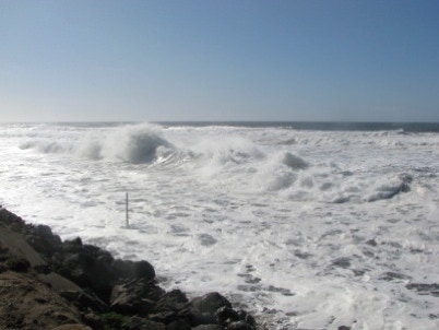
There is no beach, just the surf.
A clear and sunny autumn day seemed like a good day to start, out at the beach. When we started our walk it was 59 degrees.
