Yellowstone NP Part 2
Thursday—Friday June 20—21, 2013
We left early—the sun was out—for Yellowstone Park and then on to Bozeman. Our route is the highway in purple/blue.

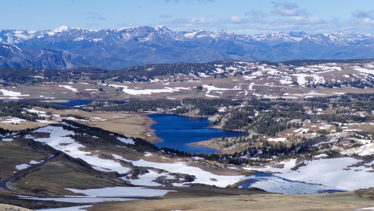
It’s cold enough that one lake we saw was covered in ice.
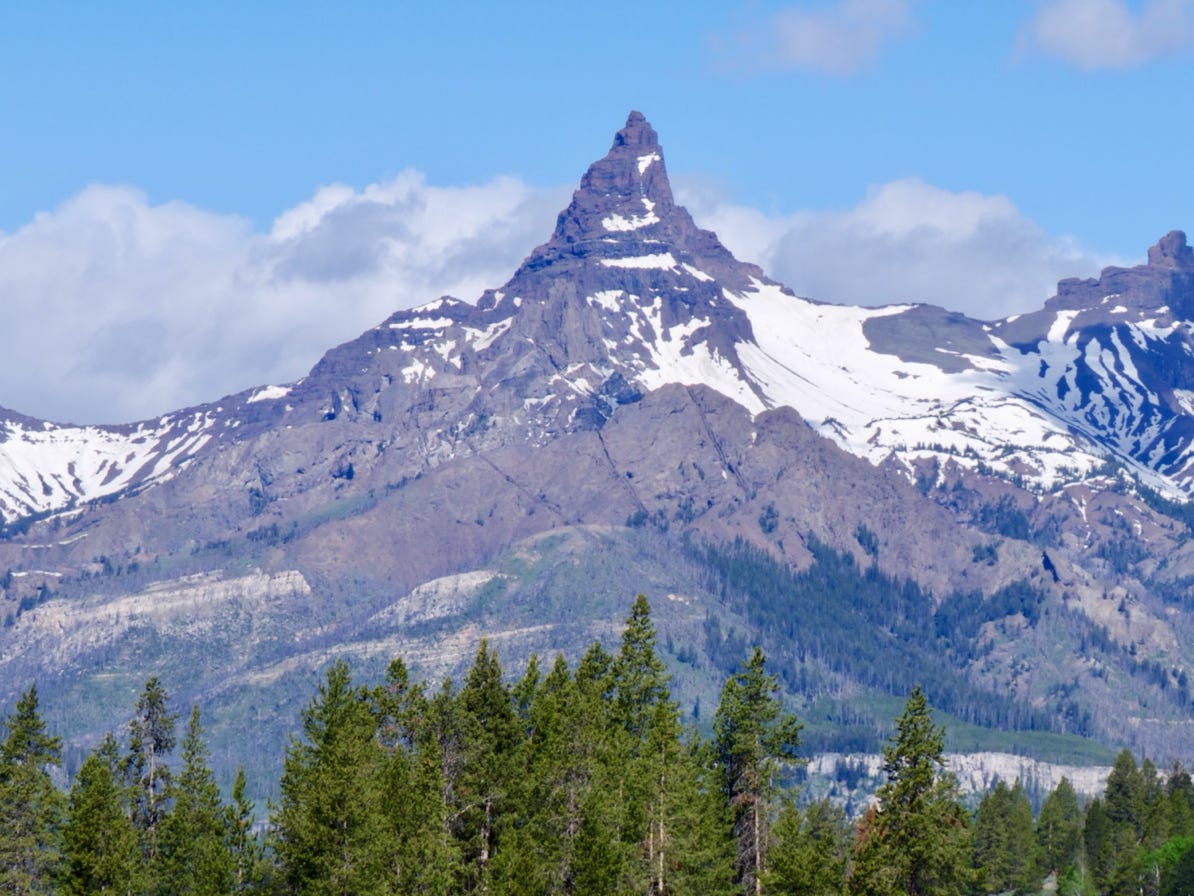
On our way to Red Lodge, we thought this might be the Beartooth, but it’s not. It is Pilot Peak, 11,700 feet in elevation.


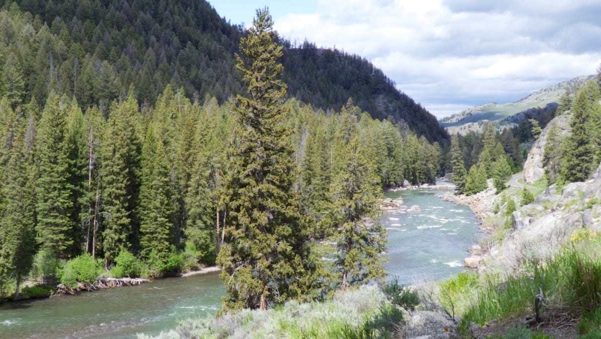
Not long after crossing back into Yellowstone Park we came up to the Lamar River. Still haven’t seen a bear!
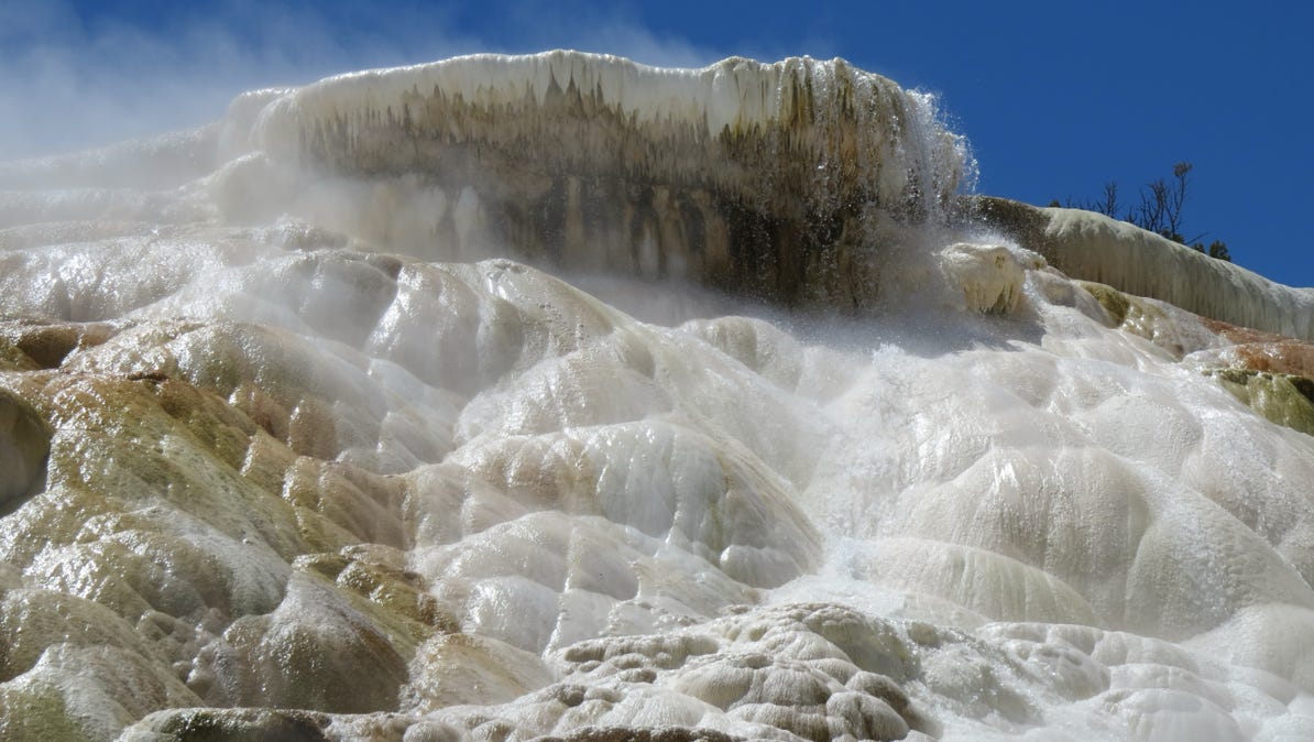
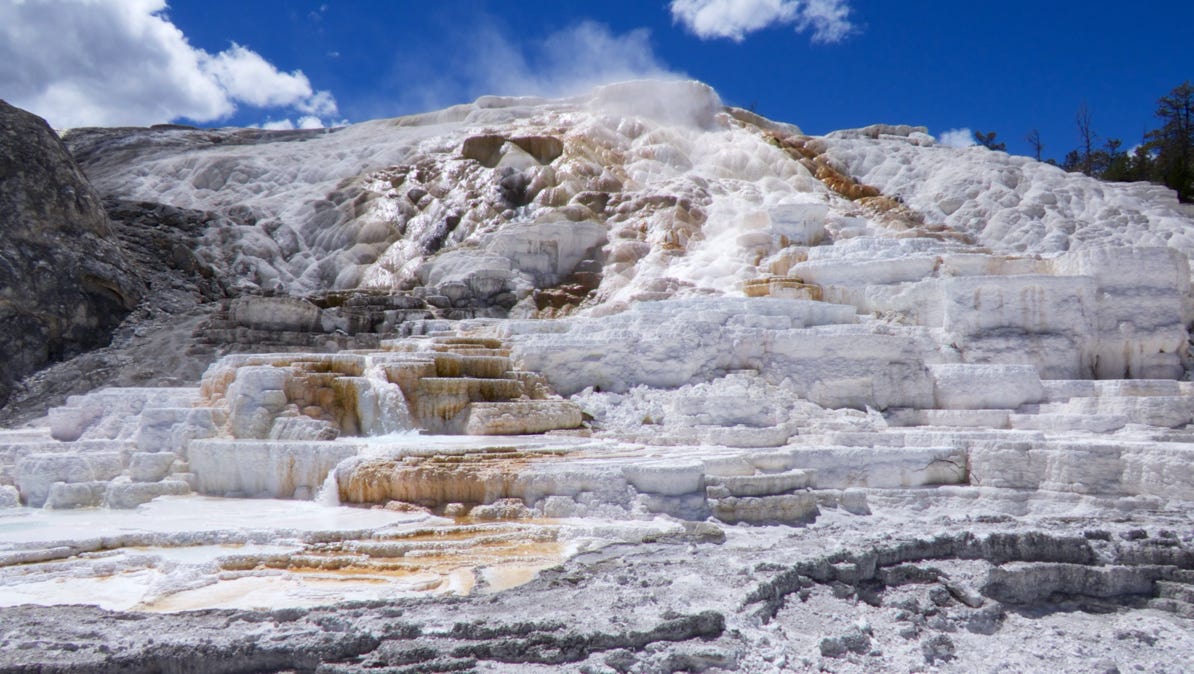
We stopped for lunch at Mammoth Hot Springs (red pin on the map). The springs have built up large limestone terraces.
A ranger was keeping people away from a one day old elk, which we couldn’t see. Mom is one of these two.
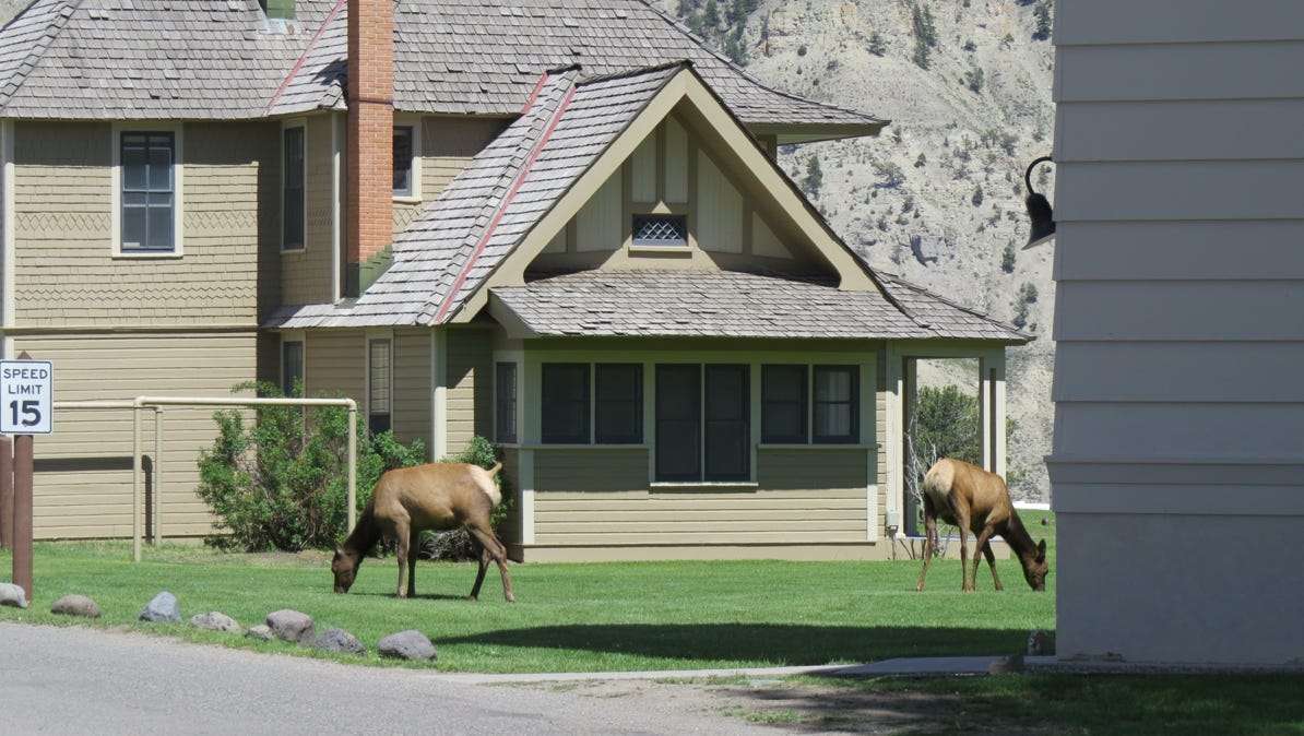
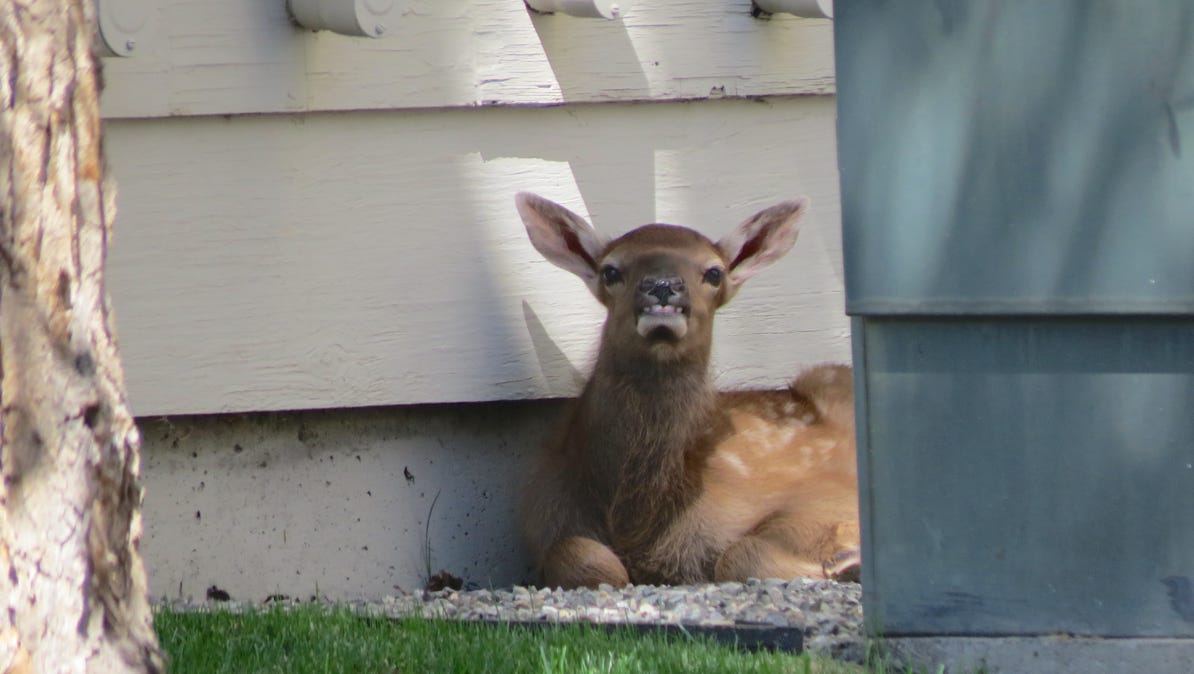
Eventually we found the baby, behind a dumpster. Mom parked the baby there and went for lunch around the side of the building.
We left Yellowstone on the highway to Livingston, and then got on the freeway for Bozeman. Bozeman has a state university, and is an attractive place. The next morning, we got up and headed out to the airport. Here is the map of the whole trip including Grand Teton.
We left Red Lodge early in the morning, drove up the Beartooth Highway and on into Yellowstone Park. We stopped for lunch at Mammoth Hot Springs, and then continued the drive north east to Bozeman, Montana and its airport. We spent the night of June 20th in the nice college town and visited the nice Museum of the Rockies before boarding a flight from Bozeman to Seattle.


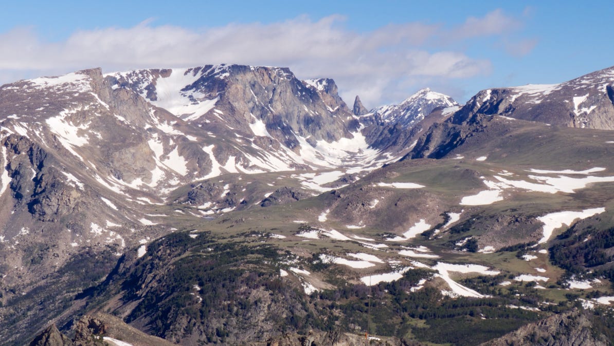
We are back up above the tree line here. The high point is 10,947 feet in elevation, and it’s 28 degrees outside the car. In this photo the Beartooth is visible.