Milford Sound
Monday—Wednesday February 23-25, 2015
We drove from Dunedin to the lakeside village of Te Anau, where we could get to and from Milford Sound in a day. Here is the map of this section of our trip.
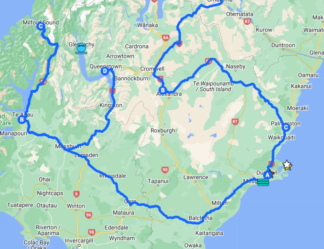


Te Anau is B on the map, and Milford Sound is the C. Here is the link to the interactive map.
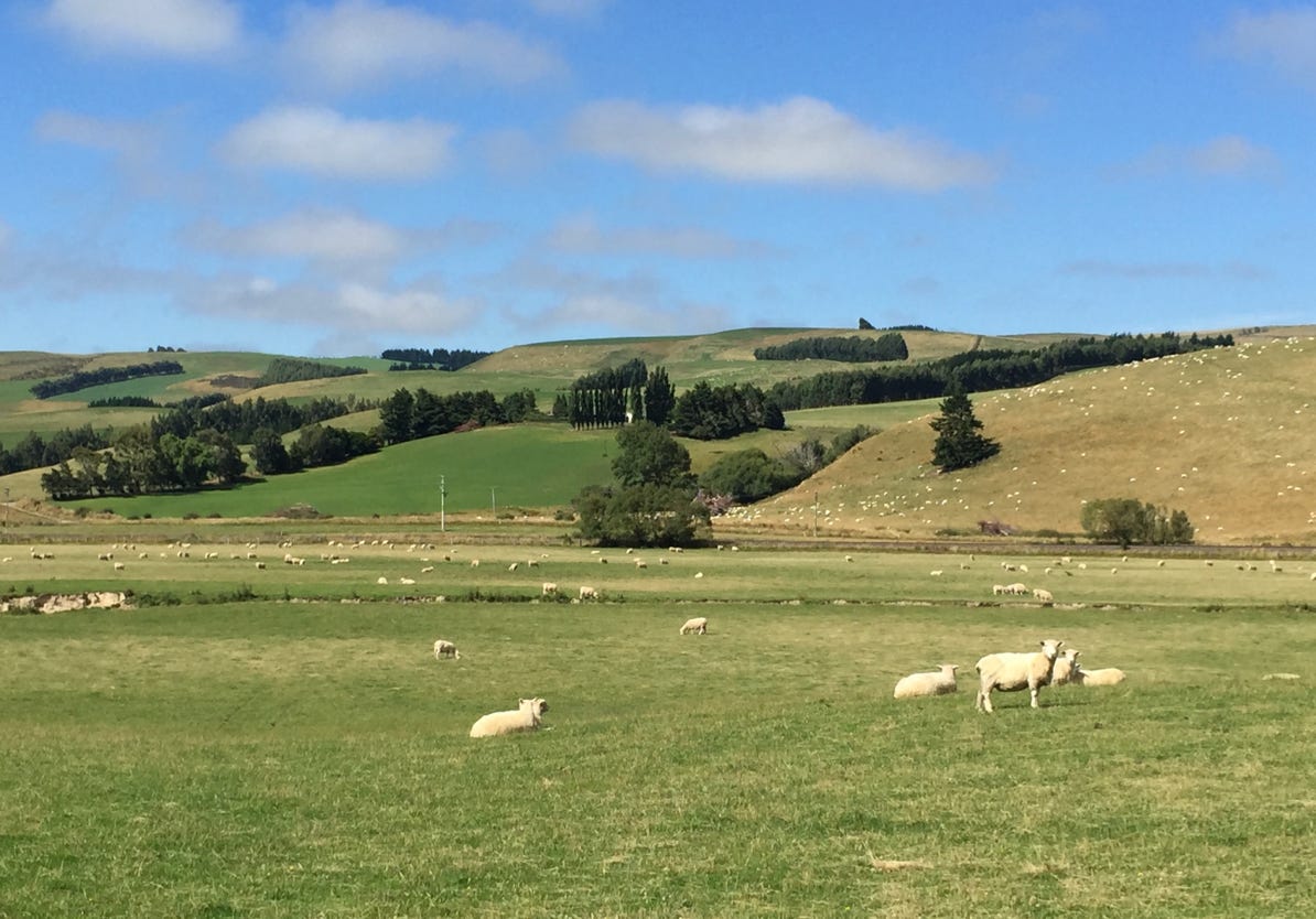
In the city of Gore, we saw a sign pointing to the Gore Clinton Presidential Highway. Not long after leaving Gore we stopped to take another photograph of sheep. It’s a requirement for any travel writing about New Zealand.
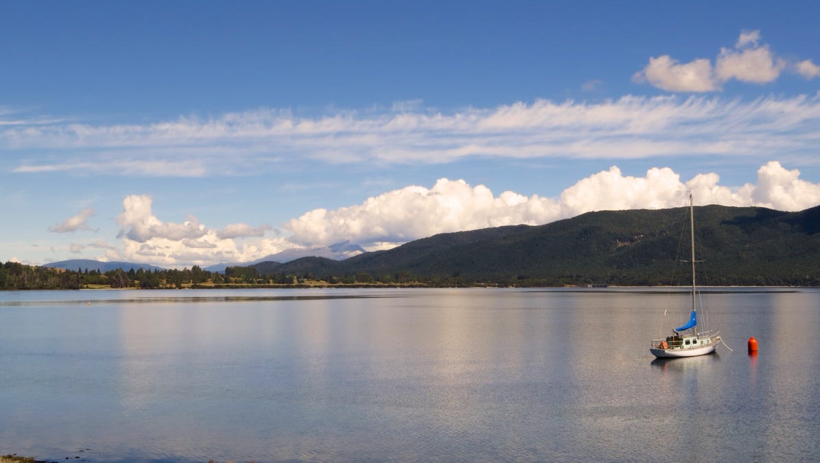
A view of the lake near the village of Te Anau.
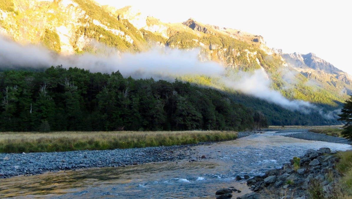
The drive to Milford Sound runs along steep mountains, and took about two hours.
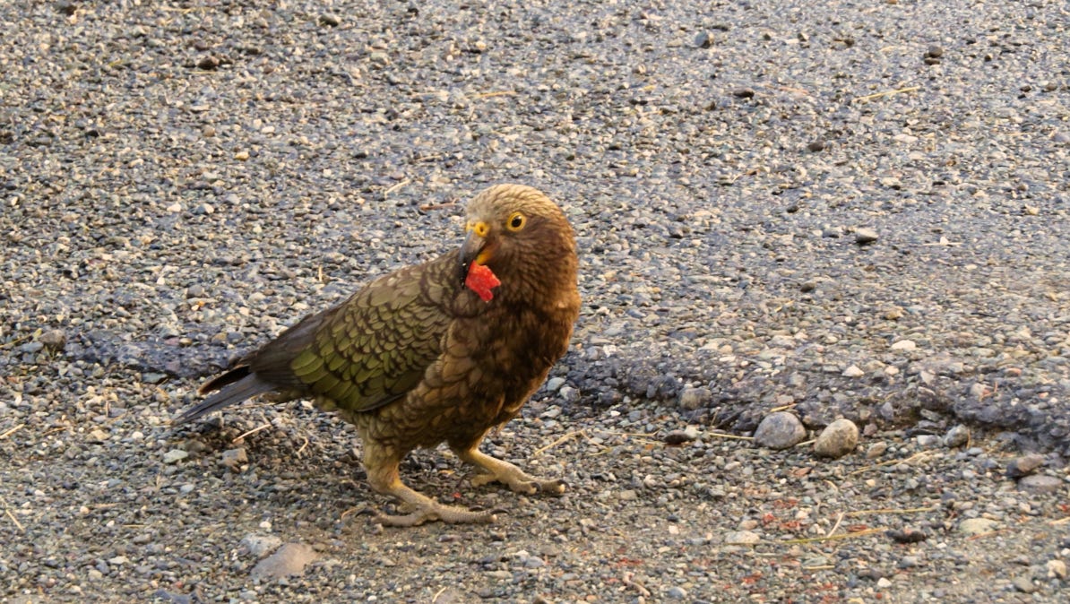
At a roadside view area, we came across a number of Kea parrots. Here is one.
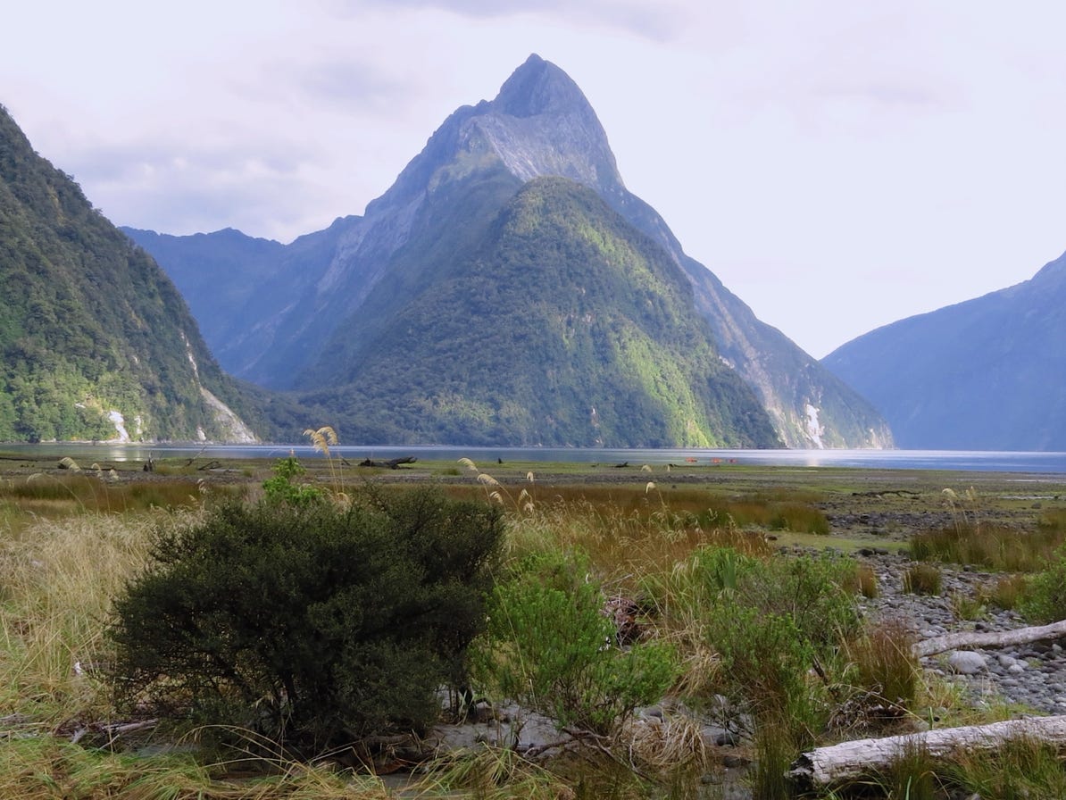
This photograph was taken upon our arrival at Milford Sound. We are standing at sea level. The top of Mitre Peak is 5,500 feet/1,600 meters high!


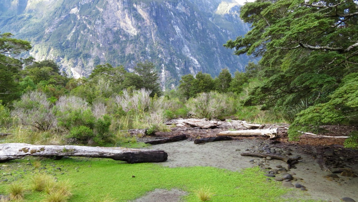
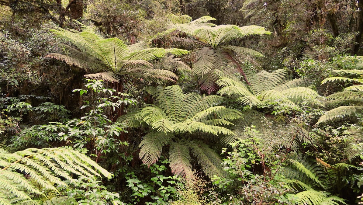
Before boarding a boat for a tour of the Sound, we went on a walk through the forest.
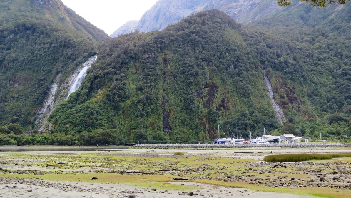
Our boat is over in this little harbor.
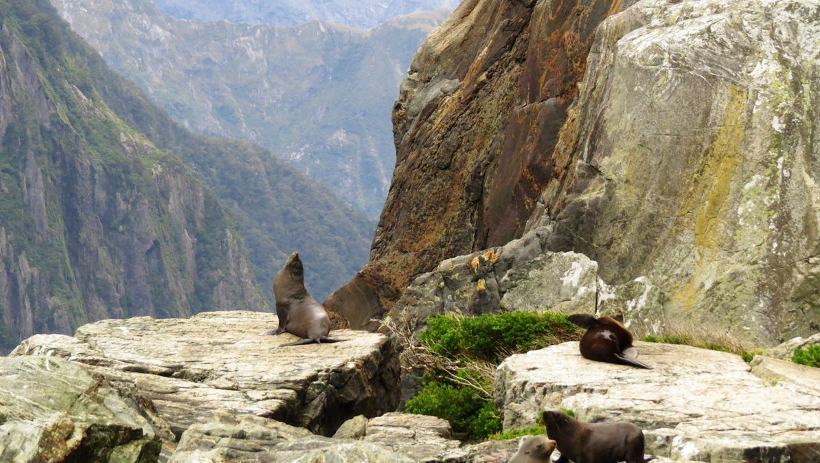
Out on the Sound, we came across seals that have a spectacular view.
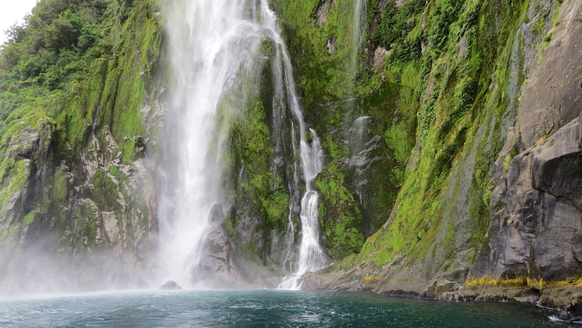
Here is a hanging valley. The waterfall is about 500 feet/150 meters high!
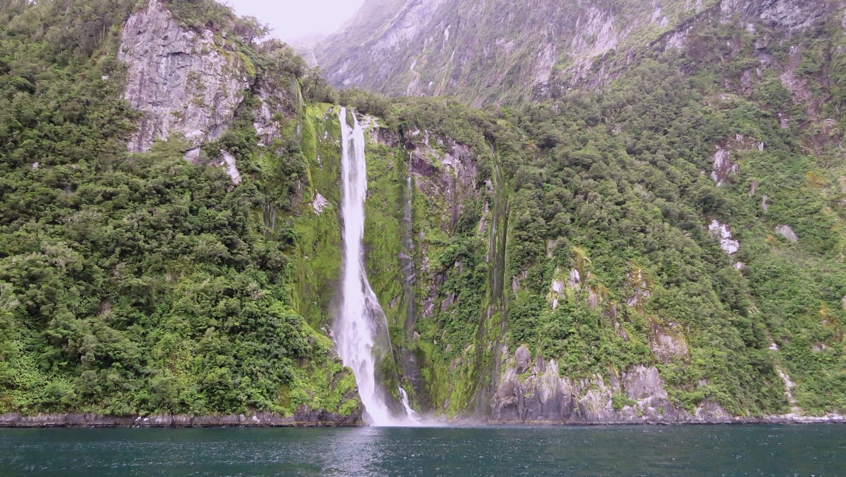
Here is a close up of the waterfall.
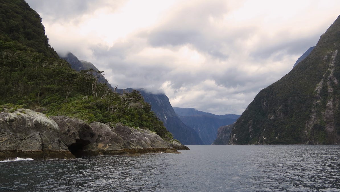
Out at the entrance to the sound, looking back inland.
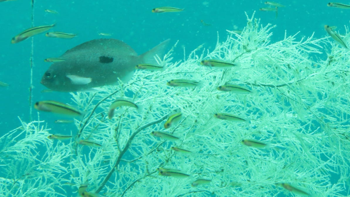
We also visited the Underwater Observatory for a look at life from 60 feet/10 meters. There is a lot of fish and coral.
We headed back to our lodge in Te Anau and got ready for the drive to Queenstown.
Onward to Te Anau, a town on the shore of Lake Te Anau. From our lodge, we could get to the remote and spectacular Milford Sound and back again in a day.
Next—Queenstown.